
-
GHRSST Level 2P Western Atlantic Regional Skin Sea Surface Temperature from the Geostationary Operational Environmental Satellites (GOES) Imager on the GOES-13 satellite (GDS version 2)
The Geostationary Operational Environmental Satellites (GOES) operated by the United States National Oceanic and Atmospheric Administration (NOAA) support weather forecasting,... -
TRACE-P DC-8 Aircraft In-situ Cloud Data
TRACE-P_Cloud_AircraftInSitu_DC8_Data is the in-situ cloud data collected onboard the DC-8 aircraft during the Transport and Chemical Evolution over the Pacific (TRACE-P)... -
MODIS/Aqua Total Precipitable Water Vapor 5-Min L2 Swath 1km and 5km NGDA
The MODIS/Aqua Total Precipitable Water Vapor 5-Min L2 Swath 1km and 5km (MYD05_L2) product consists of atmospheric column water-vapor amounts. This product is derived from data... -
LAT Second Catalog of Gamma-ray Pulsars
The LAT Second Pulsar Catalog is available as a .tgz (tarred and zipped) archive file. The archive includes a main catalog FITS file with the data from the paper tables, images... -
ABoVE: Soil Temperature Profiles, USArray Seismic Stations, 2016-2021
This dataset includes soil temperature profile measurements taken at 63 monitoring sites associated with the USArray program, located across the NASA ABoVE domain in interior... -
KFCX NEXRAD IMPACTS V1
The KFCX NEXRAD IMPACTS dataset consists of Next Generation Weather Radar (NEXRAD) Level II surveillance data that were collected at 31 NEXRAD sites from January 1 to March 1,... -
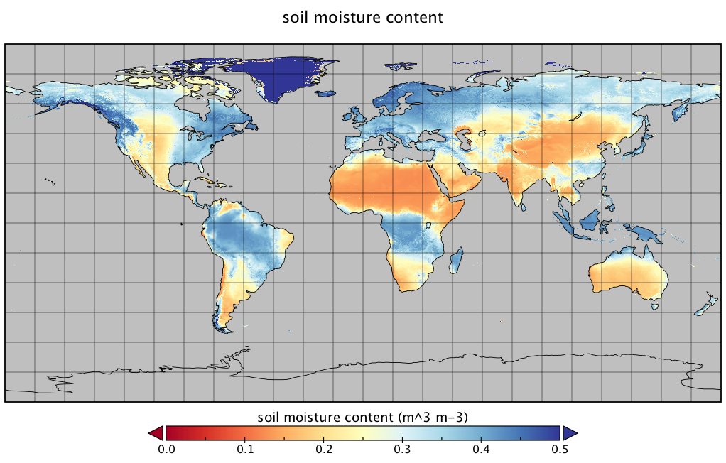
FLDAS Noah Land Surface Model L4 Global Monthly Climatology 0.1 x 0.1 degree (MERRA-2 and CHIRPS) V001 (FLDAS_NOAH01_C_GL_MC) at GES DISC
The monthly climatology dataset contains a series of land surface parameters simulated from the Noah 3.6.1 model in the Famine Early Warning Systems Network (FEWS NET) Land Data... -
Integrated Multi-satellitE Retrievals for GPM (IMERG) CPEX V1
The Integrated Multi-satellitE Retrievals for GPM (IMERG) CPEX dataset includes measurements gathered by IMERG during the Convective Processes Experiment (CPEX) field campaign.... -
ATom: L2 Trace Gas and Isotope Measurements from Medusa Whole Air Sampler, Version 2
This dataset provides O2/N2, CO2, Ar/N2, and stable isotope ratios of CO2 measured in flasks collected by the Medusa Whole Air Sampler during airborne campaigns conducted by... -
Goddard Satellite-Based Surface Turbulent Fluxes, 1x1 deg Yearly Climatology, Set1 and NCEP V2c (GSSTFYC) at GES DISC
These data are the Goddard Satellite-based Surface Turbulent Fluxes Version-2c Dataset recently produced through a MEaSURES funded project led by Dr. Chung-Lin Shie (UMBC/GEST,... -
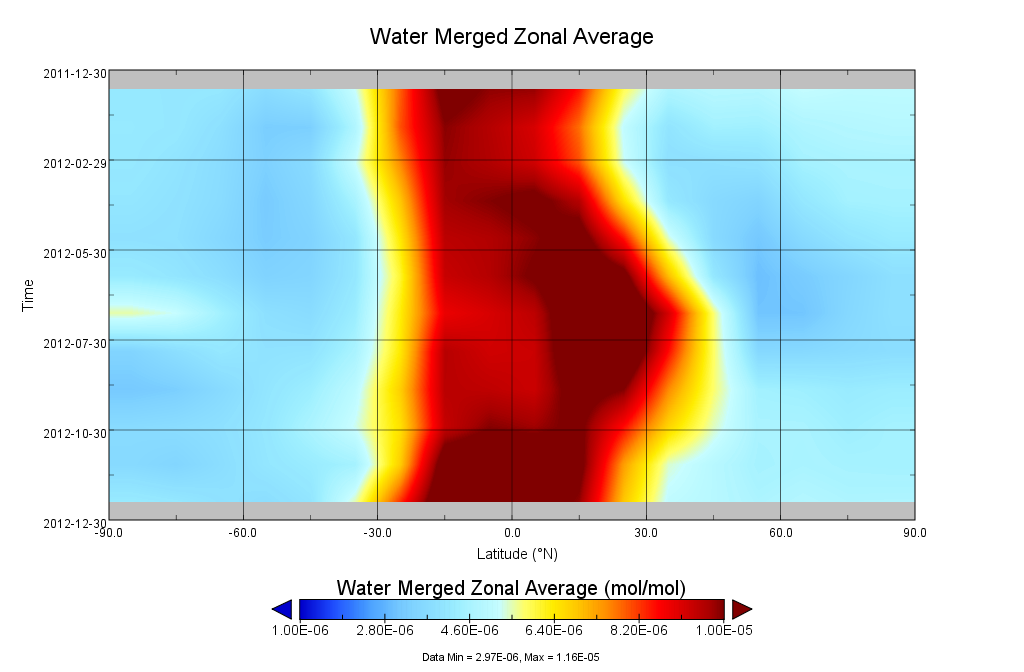
GOZCARDS Source Water Vapor 1 month L3 10 degree Zonal Means on a Vertical Pressure Grid V1 (GozSmlpH2O) at GES DISC
The GOZCARDS Source Data for Water Vapor 1 month L3 10 degree Zonal Averages on a Vertical Pressure Grid product (GozSmlpH2O) contains zonal means and related information... -
VEMAP 1: Selected Model Results
The Vegetation/Ecosystem Modeling and Analysis Project (VEMAP) was a multi-institutional, international effort addressing the response of biogeography and biogeochemistry to... -
Eddy Corr. Surface Flux: UNL (FIFE)
Latent & sensible heat flux by eddy correlation & aerodynamic characterization of vegetation -
Aviation Safety Reporting System: Emergency Medical Service Incidents
A sampling of reports concerning Emergency Medical Service (EMS) incidents. -
DISCOVER-AQ California Deployment Oildale Ground Site Data
DISCOVERAQ_California_Ground_Oildale_Data contains data collected at the Oildale ground site during the California (San Joaquin Valley) deployment of NASA's DISCOVER-AQ field... -
VIIRS/NPP BRDF/Albedo Parameter 2 Band M10 Daily L3 Global 30 ArcSec CMG V001
The NASA/NOAA Suomi National Polar-orbiting Partnership (Suomi NPP) Visible Infrared Imaging Radiometer Suite (VIIRS) Bidirectional Reflectance Distribution Function (BRDF) and... -
ISS Expedition 24 Press Kit
Press kit for ISS mission Expedition 24 from 04/2010-11/2010. Press kits contain information about each mission overview, crew, mission timeline, benefits, and media contact... -
CMS: LiDAR Data for Forested Areas in Paragominas, Para, Brazil, 2012-2014
This data set provides raw LiDAR point cloud data and derived Digital Terrain Models (DTMs) for five forested areas in the municipality of Paragominas, Para, Brazil, for the... -
DISCOVER-AQ Colorado Deployment NREL-Golden Ground Site Data
DISCOVERAQ_Colorado_Ground_NREL-Golden_Data contains data collected at the NREL-Golden ground site during the Colorado (Denver) deployment of NASA's DISCOVER-AQ field study....

Official websites use .gov
A
.gov website belongs to an official government
organization in the United States.
Secure .gov websites use HTTPS
A
lock (
) or https:// means you’ve safely connected to
the .gov website. Share sensitive information only on official,
secure websites.