

GOZCARDS Source Water Vapor 1 month L3 10 degree Zonal Means on a Vertical Pressure Grid V1 (GozSmlpH2O) at GES DISC
Access & Use Information
Public: This dataset is intended for public access and use.
Non-Federal: This dataset is covered by different Terms of Use than Data.gov.
License: No license information was provided.
Downloads & Resources
-
Google Scholar search resultsHTML
Search results for publications that cite this dataset by its DOI.
-
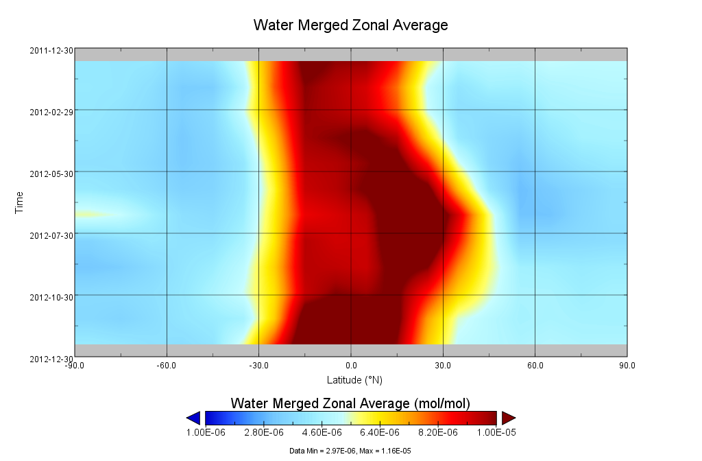
Get a related visualizationPNG
GozSmlpH2O_1.png
-
This dataset's landing pageHTML
Access the dataset landing page from the GES DISC website.
-
Download this dataset through a directory mapHTML
Access the data via HTTP.
-
Use OPeNDAP to access the dataset's dataHTML
Access the data via the OPeNDAP protocol.
-
Use THREDDS DATA to download the dataset's dataHTML
Access the data using the THREDDS Catalog.
-
The dataset's project home pageHTML
The project web site at JPL.
-
View this dataset's read me documentPDF
README Document
-
Landing PageLanding Page
References
| https://doi.org/10.5194/acp-15-10471-201 |
Dates
| Metadata Created Date | February 22, 2025 |
|---|---|
| Metadata Updated Date | February 22, 2025 |
Metadata Source
- Data.json Data.json Metadata
Harvested from nasa test json
Additional Metadata
| Resource Type | Dataset |
|---|---|
| Metadata Created Date | February 22, 2025 |
| Metadata Updated Date | February 22, 2025 |
| Publisher | NASA/GSFC/SED/ESD/GCDC/GESDISC |
| Maintainer | |
| Identifier | C1251051277-GES_DISC |
| Data First Published | 2013-05-02 |
| Language | en-US |
| Data Last Modified | 2025-02-19 |
| Category | MEaSUREs, geospatial |
| Public Access Level | public |
| Bureau Code | 026:00 |
| Metadata Context | https://project-open-data.cio.gov/v1.1/schema/catalog.jsonld |
| Schema Version | https://project-open-data.cio.gov/v1.1/schema |
| Catalog Describedby | https://project-open-data.cio.gov/v1.1/schema/catalog.json |
| Harvest Object Id | 1c1b07a6-c08f-40df-a8e6-95d675a9080b |
| Harvest Source Id | a73e0c30-4684-40ef-908e-d22e9e9e5f86 |
| Harvest Source Title | nasa test json |
| Homepage URL | https://doi.org/10.5067/MEASURES/GOZCARDS/DATA3003 |
| Metadata Type | geospatial |
| Old Spatial | -180.0 -90.0 180.0 90.0 |
| Program Code | 026:001 |
| Related Documents | https://doi.org/10.5194/acp-15-10471-201 |
| Source Datajson Identifier | True |
| Source Hash | f372c6b0703a595cb2f226063dd1f8f17f22a437fe94c0d71305428863b6b271 |
| Source Schema Version | 1.1 |
| Spatial | |
| Temporal | 1991-09-01T00:00:00Z/2012-12-31T23:59:59.999Z |
Didn't find what you're looking for? Suggest a dataset here.