
-
Carbon Monitoring System Lake Superior Primary Production Yearly V1 (CMSLakeSuperiorPPY) at GES DISC NGDA
Yearly Average primary production/carbon fixation data for Lake Superior. The primary production data is derived using MODIS imagery with model data. The NASA Carbon Monitoring... -
TROPICS06 L1A Orbital Geolocated Native-Resolution Antenna Temperatures V1.0
The "Time-Resolved Observations of Precipitation structure and storm Intensity with a Constellation of Smallsats" (TROPICS) mission has a goal of providing nearly all-weather... -
MERRA-2 tavgU_2d_csp_Nx: 2d,diurnal,Time-averaged,Single-Level,Assimilation,COSP Satellite Simulator 0.625 x 0.5 degree V5.12.4 (M2TUNXCSP) at GES DISC
M2TUNXCSP (or tavgU_2d_csp_Nx) is a time-averaged 2-dimensional monthly diurnal means data collection in Modern-Era Retrospective analysis for Research and Applications version... -
TROPICS03 L2A Unified Resolution Brightness Temperatures V1.0
The "Time-Resolved Observations of Precipitation structure and storm Intensity with a Constellation of Smallsats" (TROPICS) mission has a goal of providing nearly all-weather... -
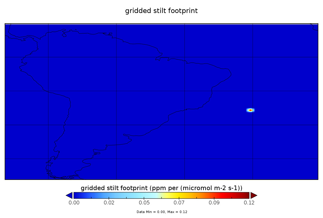
CarbonTracker-Lagrange South America OCO-2 Vertical Profile of Footprints V1 (CMS_CTL_SA_OCO2_FOOTPRINTS)
This data set provides Weather Research and Forecasting (WRF) Stochastic Time-Inverted Lagrangian Transport (STILT) particle trajectory data products for particle receptors co-... -
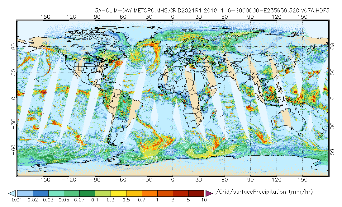
GPM MHS on METOP-C (GPROF) Climate-based Radiometer Precipitation Profiling L3 1 day 0.25 degree x 0.25 degree V07 (GPM_3GPROFMETOPCMHS_DAY_CLIM) at GES DISC
Version 07 is the current version of the data set. Older versions are no longer available and have been superseded by Version 07. The "CLIM" products differ from their "regular"... -
OMPS/NPP L3 NM PCA Sulfur Dioxide (SO2) Total Column Daily Best Pixel Global Gridded 0.25 degree x 0.25 degree V1 (OMPS_NPP_NMSO2_PCA_L3_DAILY) at GES DISC
The OMPS-NPP L3 NM PCA Sulfur Dioxide (SO2) Total Column Daily Best Pixel Global Gridded 0.25 x 0.25 degree product contains sulfur dioxide amounts gridded at 0.25 x 0.25 degree... -
MLS/Aura Level 3 Daily Binned Hypochlorous Acid (HOCl) Mixing Ratio on Assorted Grids V004 (ML3DBHOCL) at GES DISC
ML3DBHOCL is the EOS Aura Microwave Limb Sounder (MLS) daily binned on various vertical grids product for hypochlorous acid (HOCl) derived from radiances measured primarily by... -
AIRS/Aqua L1B Near Real Time (NRT) Infrared (IR) quality assurance subset V005 (AIRIBQAP_NRT) at GES DISC
The AIRS Level 1B Near Real Time (NRT) product (AIRIBQAP_NRT_005) differs from the routine product (AIRIBQAP_005) in 2 ways to meet the three hour latency requirements of the... -
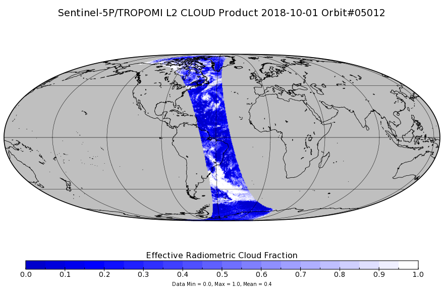
Sentinel-5P TROPOMI Cloud 1-Orbit L2 7km x 3.5km V1 (S5P_L2__CLOUD_) at GES DISC
Starting from August 6th in 2019, Sentinel-5P TROPOMI along-track high spatial resolution (~5.5km at nadir) has been implemented. Starting from July 13th in 2020, five... -
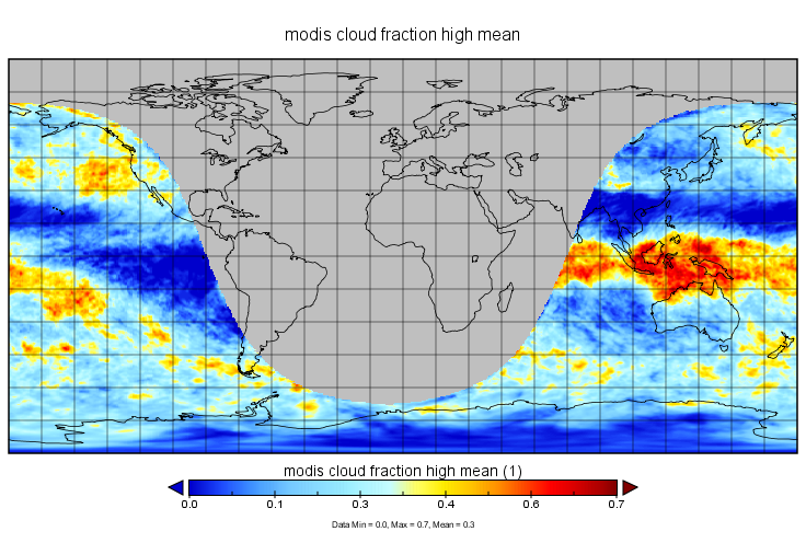
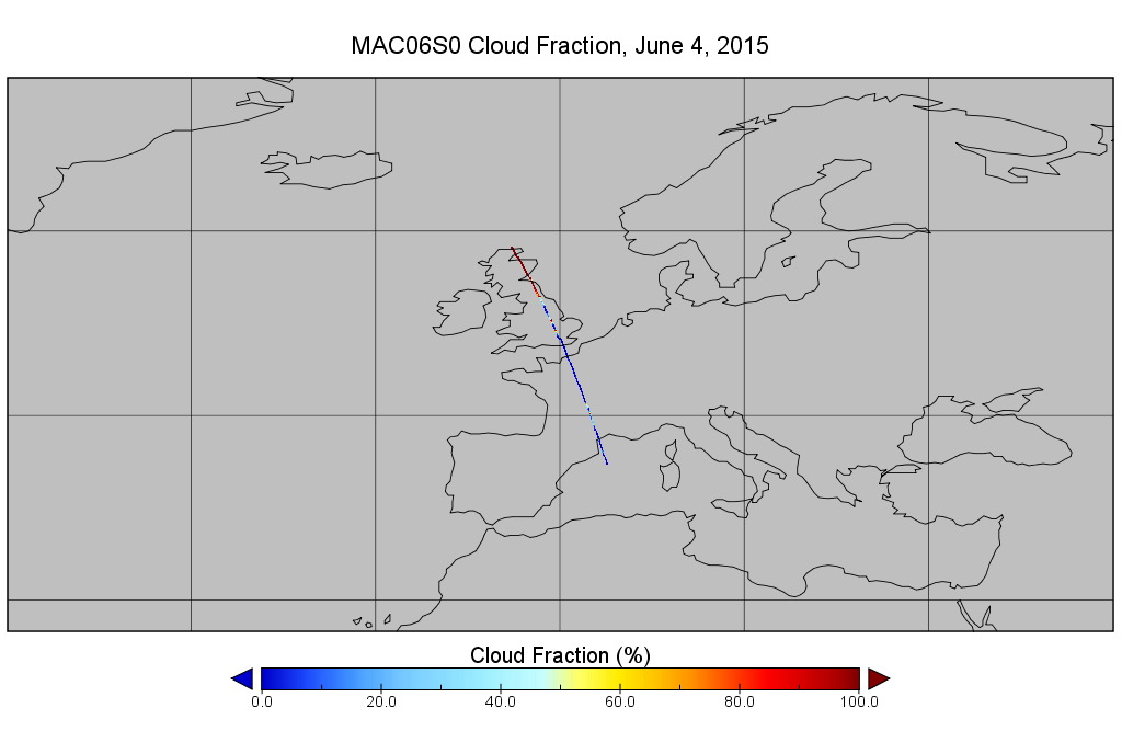
MODIS/Aqua Clouds 1km and 5km 5-Min L2 Narrow Swath Subset along CloudSat V002 (MAC06S0) at GES DISC NGDA
This is the narrow-swath MODIS/Aqua subset along CloudSat field of view track. The goal of the narrow-swath subset is to select and return MODIS data that are within +-5 km... -
MLS/Aura Level 3 Monthly Binned Chlorine Monoxide (ClO) Mixing Ratio on Assorted Grids V004 (ML3MBCLO) at GES DISC
ML3MBCLO is the EOS Aura Microwave Limb Sounder (MLS) monthly binned on various vertical grids product for chlorine monoxide (ClO) derived from radiances measured primarily by... -
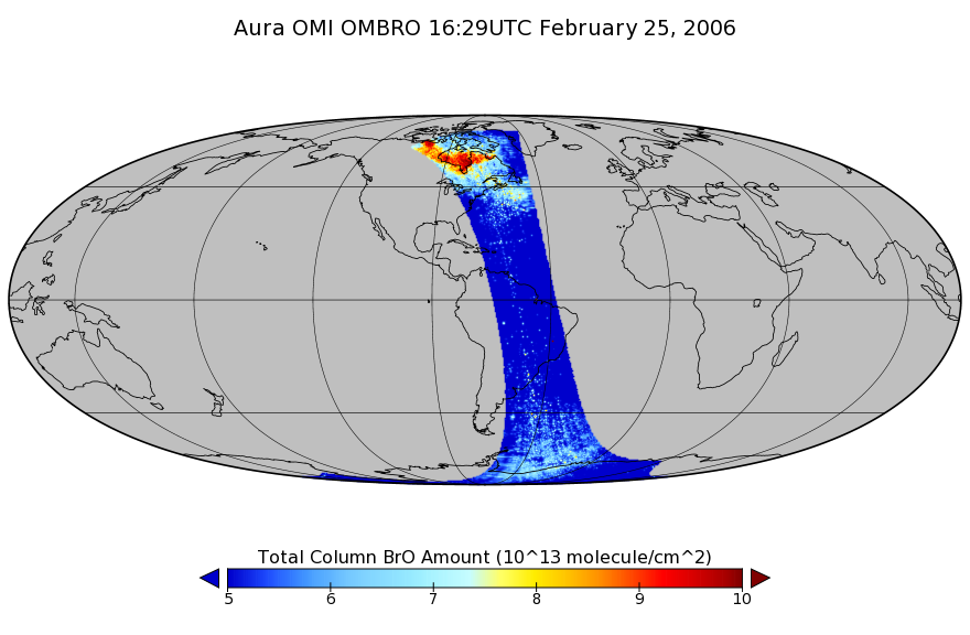
OMI/Aura Bromine Monoxide (BrO) Total Column 1-orbit L2 Swath 13x24 km V003 (OMBRO) at GES DISC
The Aura Ozone Monitoring Instrument (OMI) collection-3 Bromine Monoxide Product OMBRO from the Aura-OMI, is now available from the NASA Goddard Earth Sciences Data and... -
NASA MEASURES Precipitation Ensemble based on SSM/I DMSP F14 NASA PPS L1C V06 Tbs 1-orbit L2 Swath 12x12km V1 (PRECIP_SSMI_F14) at GES DISC
The data presented in this level 2 orbital product are rain rate estimates expressed as mm/hour determined from brightness temperatures (Tbs) obtained from the Special Sensor... -
CMS (Carbon Monitoring System) Methane (CH4) Flux for North America 0.5 degree x 0.667 degree V1 (CMS_CH4_FLX_NA) at GES DISC
An error was found in this product; therefore, it has been deleted. Please use the CMS Methane (CH4) Flux for North America Daily product (CMS_CH4_FLX_NAD) in its place. The CMS... -
GLDAS Catchment Land Surface Model L4 monthly 1.0 x 1.0 degree V2.1 (GLDAS_CLSM10_M) at GES DISC
NASA Global Land Data Assimilation System Version 2 (GLDAS-2) has three components: GLDAS-2.0, GLDAS-2.1, and GLDAS-2.2. GLDAS-2.0 is forced entirely with the Princeton... -
SORCE SOLSTICE FUV and MUV Level 3 Solar Spectral Irradiance 0.1nm Res 24-Hour Means V018 (SOR3SOLD_HIGH) at GES DISC
SORCE SOLSTICE FUV and MUV Level 3 Solar Spectral Irradiance 0.1nm Res 24-Hour Means data product (SOR3SOLD_HIGH) is constructed using measurements from the SOLSTICE FUV and MUV... -
MLS/Aura Level 3 Daily Binned Methyl Chloride (CH3Cl) Mixing Ratio on Zonal and Similar Grids V005 (ML3DZCH3CL) at GES DISC
ML3DZCH3CL is the EOS Aura Microwave Limb Sounder (MLS) daily binned on zonal and assorted vertical grids product for methyl chloride (CH3Cl) derived from radiances measured by... -
MLS/Aura Level 3 Monthly Binned Methyl Chloride (CH3Cl) Mixing Ratio on Assorted Grids V005 (ML3MBCH3CL) at GES DISC
ML3MBCH3CL is the EOS Aura Microwave Limb Sounder (MLS) monthly binned on various vertical grids product for methyl chloride (CH3Cl) derived from radiances measured by the 640... -
HIRDLS/Aura Level 3 Daily Gridded 1 x 1 deg Stratospheric Columns of NO2 V007 (HIR3SCOL) at GES DISC
HIR3SCOL is the EOS High Resolution Dynamics Limb Sounder (HIRDLS/Aura) level 3 daily gridded 1 x 1 deg. stratospheric columns of NO2 (nitrogen dioxide) data product. The data...

Official websites use .gov
A
.gov website belongs to an official government
organization in the United States.
Secure .gov websites use HTTPS
A
lock (
) or https:// means you’ve safely connected to
the .gov website. Share sensitive information only on official,
secure websites.