

Get a related visualization
URL: https://daac.ornl.gov/VEGETATION/guides/AVIRIS-NG_Data_Idaho_Fig1.png
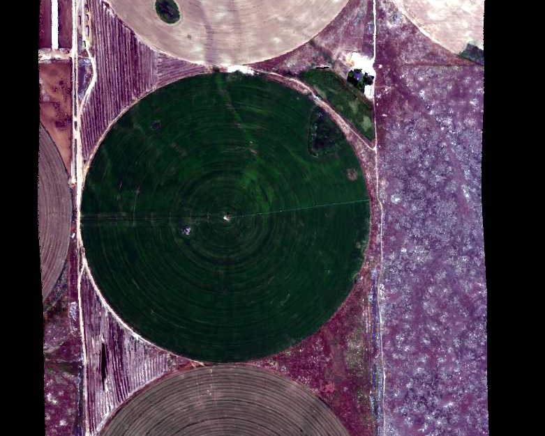
A portion of the quicklook image from flight line ang20150611t202652 over Reynolds Creek Experimental Watershed, southwestern Idaho on June 6, 2015. Center-pivot irrigation for agricultural land in the northeastern portion of the watershed. Flight altitude approximately 10,000 ft with clear weather.
Source: Hyperspectral Imagery from AVIRIS-NG for Sites in ID and CA, USA, 2014 and 2015
About this Resource
| Last updated | unknown |
|---|---|
| Created | unknown |
| Name | Get a related visualization |
| Format | PNG Image File |
| License | License not specified |
| Created | 3 months ago |
| Media type | image/png |
| has views | True |
| id | bb4d513b-9208-4ec6-9f56-1fc62cbd87e3 |
| metadata modified | 3 months ago |
| package id | 2c5daa2e-ddc6-4cc2-9bef-942c4a984659 |
| position | 7 |
| state | active |
| tracking summary | {'total': 0, 'recent': 0} |