

Get a related visualization
URL: https://daac.ornl.gov/AVIRIS/guides/AV3_L1B_RDN_Fig1.jpg
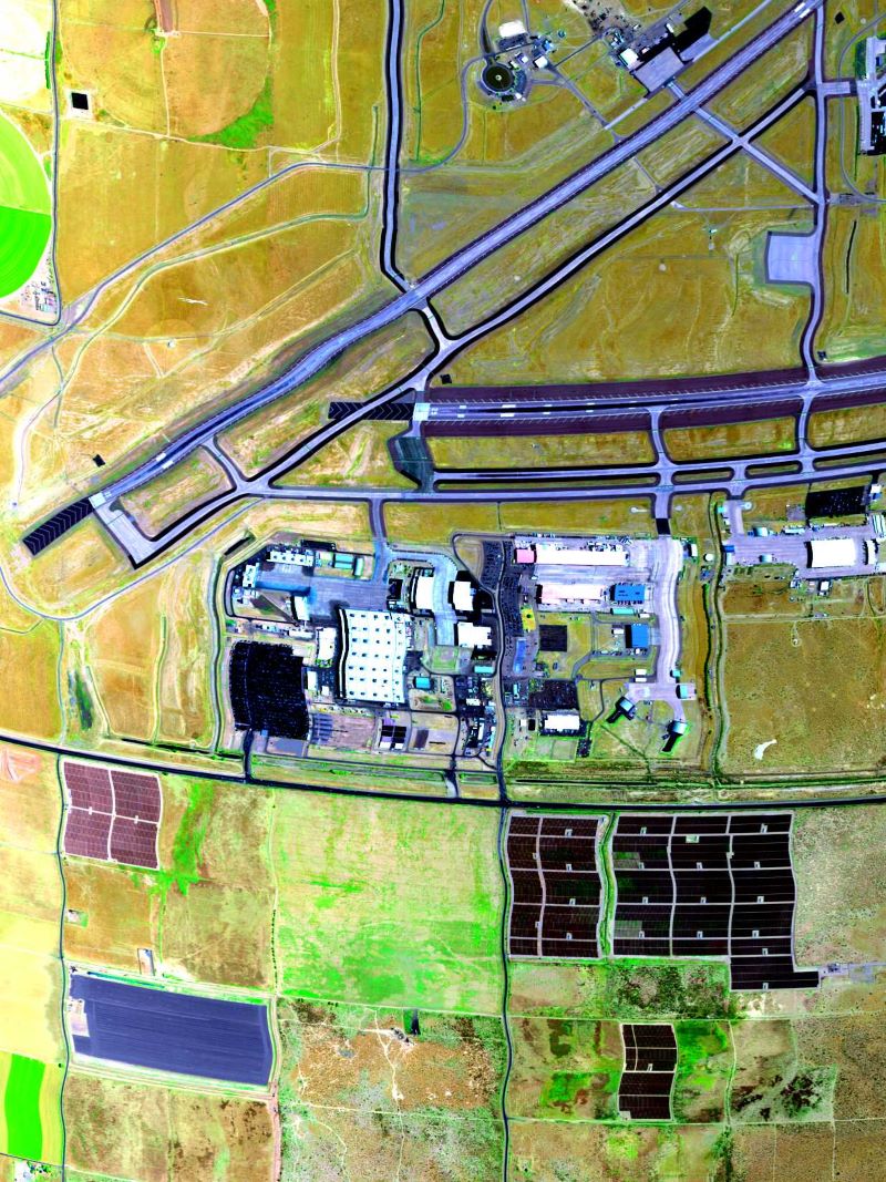
True color image derived from AVIRIS-3 radiance data on 2023-07-11 over Palmdale, California (approximately 34.642 latitude, -118.064 longitude); flight AV320230711t225833.
Source: AVIRIS-3 L1B Calibrated Radiance, Facility Instrument Collection
About this Resource
| Last updated | unknown |
|---|---|
| Created | unknown |
| Name | Get a related visualization |
| Format | JPEG Image File |
| License | License not specified |
| Created | 3 months ago |
| Media type | image/jpeg |
| has views | True |
| id | 4d0dec82-a457-497d-a1e9-220229718cd2 |
| metadata modified | 3 months ago |
| package id | d0f719df-21f8-482d-ad1b-3ce49557b3af |
| position | 5 |
| state | active |
| tracking summary | {'total': 0, 'recent': 0} |