

66 datasets found
-
VIIRS/JPSS1 Day/Night Band 6-Min L1B Swath 750 m
NASA Test —
The VIIRS/JPSS1 Day/Night Band 6-Min L1B Swath 750 m, short-name VJ102DNB is platform-derived single NASA VIIRS panchromatic Day-Night band (DNB) calibrated radiance... -
VIIRS/JPSS1 Imagery Resolution Terrain Corrected Geolocation 6 Min L1 Swath 375m NRT
NASA Test —
The VIIRS/JPSS1 Imagery Resolution Terrain Corrected Geolocation 6-Min L1 Swath 375m Near Real Time (NRT) product, short-name VJ103IMG_NRT includes the geolocation... -
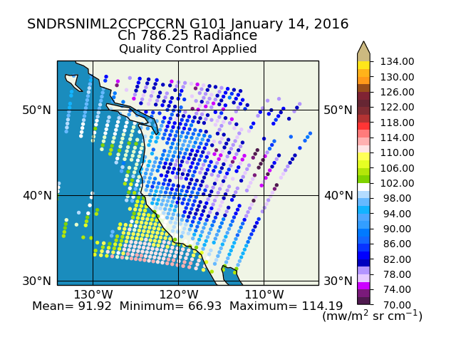
Sounder SIPS: Suomi NPP CrIMSS Level 2 CLIMCAPS Normal Spectral Resolution: Cloud Cleared Radiances V2 (SNDRSNIML2CCPCCRN) at GES DISC
NASA Test —
The CLIMCAPS (Community Long-term Infrared Microwave Coupled Product System) algorithm is used to analyze data from the Cross-track Infrared Sounder/Advanced... -
VIIRS/JPSS2 Day/Night Band 6-Min L1B Swath SDR 750m NRT
NASA Test —
The Near Real Time (NRT) VIIRS Level 1 and Level 2 swath (VJ202DNB_NRT) product is single NASA VIIRS panchromatic Day-Night band (DNB) calibrated radiance product. The... -
Sounder SIPS: AQUA AIRS IR + MW Level 2 CLIMCAPS: Cloud Cleared Radiances V2 at GES DISC
NASA Test —
The CLIMCAPS (Community Long-term Infrared Microwave Coupled Product System) algorithm is used to analyze data from the AIRS (Atmospheric Infrared Sounder) and AMSU... -
VIIRS/JPSS2 Raw Radiances in Counts 6-Min L1A Swath
NASA Test —
The Near Real Time (NRT) VIIRS/JPSS2 Raw Radiances in Counts 6-Min L1A Swath, short-name VJ201_NRT data product contains the unpacked, raw VIIRS science, calibration... -
VIIRS/NPP Imagery Resolution Terrain Corrected Geolocation 6-Min L1 Swath 375 m
NASA Test —
The VIIRS/NPP Imagery Resolution Terrain-Corrected Geolocation 6-Min L1 Swath 375m, short-name VNP03IMG, product contains the derived line-of-sight (LOS) vectors for... -
VNP02MOD | VIIRS/NPP Moderate Resolution 6-Min L1B Swath 750 m
NASA Test —
The VNP02MOD | VIIRS/NPP Moderate Resolution 6-Min L1B Swath 750m, short-name VNP02MOD contains the derived line-of-sight (LOS) vectors for each of the 750-m moderate-... -
VIIRS/JPSS1 Moderate Resolution Terrain Corrected Geolocation L1 6-Min Swath 750m
NASA Test —
The VIIRS/JPSS1 Moderate Resolution Terrain Corrected Geolocation 6-Min L1 Swath 750m product, short-name VJ103MOD contains the derived line-of-sight (LOS) vectors for... -
MODIS/Terra Level 1B Subsampled Calibrated Radiance 5Km NGDA
NASA Test —
The MODIS/Terra Level 1B Subsampled Calibrated Radiances 5km (MOD02SSH) is a subsample from the MODIS Level 1B 1-km data. Every fifth pixel is taken from the MOD021KM... -
VIIRS/JPSS1 Raw Radiances in Counts 6 Min L1A Swath NRT
NASA Test —
The Near Real Time (NRT) JPSS1/VIIRS Raw Radiances in Counts 6-Min L1A Swath (VJ101_NRT) data product contains the unpacked, raw VIIRS science, calibration and... -
VIIRS/NPP Moderate Resolution Bands L1B 6-Min Swath 750 m NRT
NASA Test —
The VIIRS/NPP Moderate Resolution Bands L1B 6-Min Swath 750m Near Real Time (NRT) product, short-name VNP02MOD_NRT is among the VIIRS Level 1 and Level 2 swath... -
MODIS/Aqua Level 1B Subsampled Calibrated Radiance 5Km - NRT NGDA
NASA Test —
This Near Real Time (NRT) data type (MYD02SSH) is a subsample from the MODIS Level 1B 1-km data. Every fifth pixel is taken from the MYD021KM product and written out... -
Full Resolution Full Swath Geolocated and Calibrated TOA Radiance
NASA Test —
The Medium Resolution Imaging Spectrometer (MERIS) is one of 10 sensors deployed in March of 2002 on board the polar-orbiting Envisat-1 environmental research... -
STAQS NASA G-III High Altitude Lidar Observatory (HALO) Data
NASA Test —
STAQS_AircraftRemoteSensing_NASA-G3_HALO_Data is the remotely sensed trace gas data for the NASA Gulfstream III aircraft taken by the High Altitude Lidar Observatory...
66 datasets found