

Sounder SIPS: Suomi NPP CrIMSS Level 2 CLIMCAPS Normal Spectral Resolution: Cloud Cleared Radiances V2 (SNDRSNIML2CCPCCRN) at GES DISC
Access & Use Information
Downloads & Resources
-
Google Scholar search resultsHTML
Search results for publications that cite this dataset by its DOI.
-
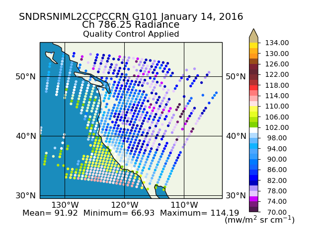
Get a related visualizationPNG
Sample plot of CrIS/ATMS CLIMCAPS Cloud Cleared Radiances.
-
This dataset's landing pageHTML
Access the dataset landing page from the GES DISC website.
-
Download this dataset through a directory mapHTML
Access the data via HTTPS.
-
Use OPeNDAP to access the dataset's dataHTML
Access the data via the OPeNDAP protocol.
-
Download this dataset through Earthdata SearchHTML
Search the Earthdata website
-
View this dataset's read me documentPDF
CLIMCAPS Product User Guide:File Format and Definition
-
View this dataset's algorithm theoretical...PDF
CLIMCAPS ATBD
-
View this dataset's product quality assessmentPDF
Product quality assessment guide
-
View this dataset's product usageHTML
CLIMCAPS Science Application Guide (Digital version)
-
View this dataset's product usagePDF
CLIMCAPS Science Application Guide
-
Landing PageLanding Page
References
Dates
| Metadata Created Date | February 22, 2025 |
|---|---|
| Metadata Updated Date | February 22, 2025 |
Metadata Source
- Data.json Data.json Metadata
Harvested from nasa test json
Additional Metadata
| Resource Type | Dataset |
|---|---|
| Metadata Created Date | February 22, 2025 |
| Metadata Updated Date | February 22, 2025 |
| Publisher | Not provided |
| Maintainer | |
| Identifier | C1692982073-GES_DISC |
| Data First Published | 2012-01-20 |
| Language | en-US |
| Data Last Modified | 2025-02-19 |
| Category | SUOMI-NPP, geospatial |
| Public Access Level | public |
| Bureau Code | 026:00 |
| Metadata Context | https://project-open-data.cio.gov/v1.1/schema/catalog.jsonld |
| Schema Version | https://project-open-data.cio.gov/v1.1/schema |
| Catalog Describedby | https://project-open-data.cio.gov/v1.1/schema/catalog.json |
| Harvest Object Id | ba617465-66a5-4553-9eeb-977931db6395 |
| Harvest Source Id | a73e0c30-4684-40ef-908e-d22e9e9e5f86 |
| Harvest Source Title | nasa test json |
| Homepage URL | https://doi.org/10.5067/CNG0ST72533Z |
| Metadata Type | geospatial |
| Old Spatial | -180.0 -90.0 180.0 90.0 |
| Program Code | 026:001 |
| Related Documents | https://doi.org/10.3390/rs11101227, https://doi.org/10.1109/TGRS.2012.2220369, https://doi.org/10.1016/S0022-4073(97)00169-6, https://doi.org/10.1109/TGRS.2002.808236, https://doi.org/10.1029/2005/JD007020, https://doi.org/10.5194/amt-13-4437-2020 |
| Source Datajson Identifier | True |
| Source Hash | bef435d4e8bdcfb81d231ebd6853db830929f9c12cb4d75f09fe5138fc32624e |
| Source Schema Version | 1.1 |
| Spatial | |
| Temporal | 2012-01-20T00:00:00Z/2023-04-10T00:00:00Z |
Didn't find what you're looking for? Suggest a dataset here.