

TROPESS CrIS-SNPP L2 Ozone for West Coast Fires HiRes, Standard Product V1 (TRPSDL2O3CRSWCFHI) at GES DISC
Access & Use Information
Public: This dataset is intended for public access and use.
Non-Federal: This dataset is covered by different Terms of Use than Data.gov.
License: No license information was provided.
Downloads & Resources
-
Google Scholar search resultsHTML
Search results for publications that cite this dataset by its DOI.
-
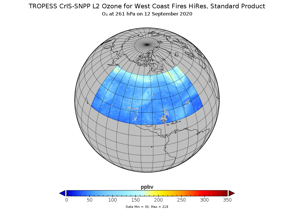
Get a related visualizationPNG
TROPESS CrIS/SNPP O3 (West Coast Fires, Special Product) at 261 hPa on 12...
-
This dataset's landing pageHTML
Access the dataset landing page from the GES DISC website.
-
Download this dataset through a directory mapHTML
Access the data via HTTPS.
-
Download this dataset through Earthdata SearchHTML
Use the Earthdata Search Client to find and retrieve data sets across...
-
Use OPeNDAP to access the dataset's dataHTML
Access the data via the OPeNDAP protocol.
-
View this dataset's read me documentPDF
README Document
-
View this dataset's user's guidePDF
User's Guide
-
View this dataset's algorithm theoretical...PDF
ATBD
-
The dataset's project home pageHTML
TROPESS Project Home Page.
-
Landing PageLanding Page
References
Dates
| Metadata Created Date | February 23, 2025 |
|---|---|
| Metadata Updated Date | February 23, 2025 |
Metadata Source
- Data.json Data.json Metadata
Harvested from nasa test json
Additional Metadata
| Resource Type | Dataset |
|---|---|
| Metadata Created Date | February 23, 2025 |
| Metadata Updated Date | February 23, 2025 |
| Publisher | NASA/GSFC/SED/ESD/GCDC/GESDISC |
| Maintainer | |
| Identifier | C2054599705-GES_DISC |
| Data First Published | 2021-05-18 |
| Language | en-US |
| Data Last Modified | 2025-02-19 |
| Category | TROPESS, geospatial |
| Public Access Level | public |
| Bureau Code | 026:00 |
| Metadata Context | https://project-open-data.cio.gov/v1.1/schema/catalog.jsonld |
| Schema Version | https://project-open-data.cio.gov/v1.1/schema |
| Catalog Describedby | https://project-open-data.cio.gov/v1.1/schema/catalog.json |
| Harvest Object Id | 995d8099-c60e-40e5-9ee7-24b443c7d182 |
| Harvest Source Id | a73e0c30-4684-40ef-908e-d22e9e9e5f86 |
| Harvest Source Title | nasa test json |
| Homepage URL | https://doi.org/10.5067/ILB10Q0O144R |
| Metadata Type | geospatial |
| Old Spatial | -150.0 20.0 -40.0 60.0 |
| Program Code | 026:001 |
| Related Documents | https://doi.org/10.1126/sciadv.abf7460, https://doi.org/10.1029/2006JD007258, https://doi.org/10.5194/acp-10-9901-2010, https://doi.org/10.1029/2007JD008819, https://doi.org/10.5194/amt-6-1413-2013, https://doi.org/10.5194/amt-11-5587-2018 |
| Source Datajson Identifier | True |
| Source Hash | 193f53bc5928c3486452a498376622516c3dae4acbd48850db8638700cea5788 |
| Source Schema Version | 1.1 |
| Spatial | |
| Temporal | 2020-08-02T00:00:00Z/2020-10-26T23:59:59.999Z |
Didn't find what you're looking for? Suggest a dataset here.