

TMI/TRMM precipitation and uncertainty (TMPA) L3 3 hour 0.25 degree x 0.25 degree V001 (WC_MULTISEN_PREC_025) at GES DISC
Access & Use Information
Public: This dataset is intended for public access and use.
Non-Federal: This dataset is covered by different Terms of Use than Data.gov.
License: No license information was provided.
Downloads & Resources
-
Google Scholar search resultsHTML
Search results for publications that cite this dataset by its DOI.
-
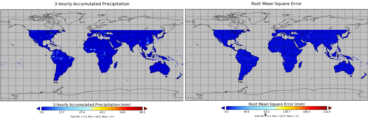
Get a related visualizationPNG
3-hourly accumulated precipitation from TRMM 3B42 product and associated...
-
This dataset's landing pageHTML
Access the dataset landing page from the GES DISC website.
-
Download this dataset through a directory mapHTML
Access the data via HTTPS.
-
Download this dataset through Earthdata SearchHTML
Use the Earthdata Search to find and retrieve data sets across multiple data...
-
Use OPeNDAP to access the dataset's dataHTML
Access the data via the OPeNDAP protocol.
-
View this dataset's read me documentPDF
README Document
-
Landing PageLanding Page
References
| https://doi.org/10.1175/JHM560.1 |
| https://doi.org/10.1002/jgrd.50607 |
Dates
| Metadata Created Date | February 23, 2025 |
|---|---|
| Metadata Updated Date | February 23, 2025 |
Metadata Source
- Data.json Data.json Metadata
Harvested from nasa test json
Additional Metadata
| Resource Type | Dataset |
|---|---|
| Metadata Created Date | February 23, 2025 |
| Metadata Updated Date | February 23, 2025 |
| Publisher | NASA/GSFC/SED/ESD/GCDC/GESDISC |
| Maintainer | |
| Identifier | C1242287793-GES_DISC |
| Data First Published | 2015-05-04 |
| Language | en-US |
| Data Last Modified | 2025-02-18 |
| Category | MEaSUREs, geospatial |
| Public Access Level | public |
| Bureau Code | 026:00 |
| Metadata Context | https://project-open-data.cio.gov/v1.1/schema/catalog.jsonld |
| Schema Version | https://project-open-data.cio.gov/v1.1/schema |
| Catalog Describedby | https://project-open-data.cio.gov/v1.1/schema/catalog.json |
| Harvest Object Id | 3d5c5d0c-1961-4e73-8cb0-14c78a70f176 |
| Harvest Source Id | a73e0c30-4684-40ef-908e-d22e9e9e5f86 |
| Harvest Source Title | nasa test json |
| Homepage URL | https://doi.org/10.5067/MEASURES/WATERCYCLE/DATA312 |
| Metadata Type | geospatial |
| Old Spatial | -180.0 -50.0 180.0 50.0 |
| Program Code | 026:001 |
| Related Documents | https://doi.org/10.1175/JHM560.1, https://doi.org/10.1002/jgrd.50607 |
| Source Datajson Identifier | True |
| Source Hash | d8292f3a666e63176daa6f4b26981f28c21091e37295d0e15c2e363fc1b4c2f2 |
| Source Schema Version | 1.1 |
| Spatial | |
| Temporal | 1998-01-01T00:00:00Z/2010-12-31T23:59:59Z |
Didn't find what you're looking for? Suggest a dataset here.