

SWOT Simulated Level 2 North America Continent High Rate River Vectors Product Version 1.0
Access & Use Information
Public: This dataset is intended for public access and use.
Non-Federal: This dataset is covered by different Terms of Use than Data.gov.
License: No license information was provided.
Downloads & Resources
-
Google Scholar search resultsHTML
Search results for publications that cite this dataset by its DOI.
-
View this dataset's data citation policyHTML
Data Use and Citation Policy
-
View documentation related to this datasetHTML
SWOT Mission Information Page
-
The dataset's project home pageHTML
Mission and Instrument Overview
-
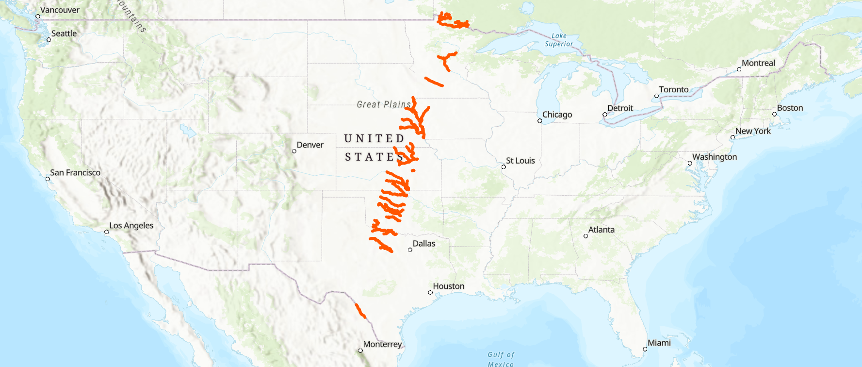
Get a related visualizationPNG
Thumbnail
-
Download this dataset through a directory mapHTML
HTTPS endpoint for data browse and download
-
Download this dataset through Earthdata SearchHTML
Browse granule search results in Earthdata Search
-
Web PageHTML
Data Subscriber
-
View this dataset's user's guidePDF
SWOT Product Description L2_HR_RiverSP
-
View the documentation for this dataset's algorithmsHTML
SWOT Hydrology Toolbox
-
Landing PageLanding Page
References
| https://doi.org/10.1007/s10712-015-9346-y |
Dates
| Metadata Created Date | February 22, 2025 |
|---|---|
| Metadata Updated Date | February 22, 2025 |
Metadata Source
- Data.json Data.json Metadata
Harvested from nasa test json
Additional Metadata
| Resource Type | Dataset |
|---|---|
| Metadata Created Date | February 22, 2025 |
| Metadata Updated Date | February 22, 2025 |
| Publisher | NASA/JPL/PODAAC |
| Maintainer | |
| Identifier | C2263384307-POCLOUD |
| Data First Published | 2022-04-27 |
| Language | en-US |
| Data Last Modified | 2025-02-19 |
| Category | geospatial |
| Public Access Level | public |
| Bureau Code | 026:00 |
| Metadata Context | https://project-open-data.cio.gov/v1.1/schema/catalog.jsonld |
| Schema Version | https://project-open-data.cio.gov/v1.1/schema |
| Catalog Describedby | https://project-open-data.cio.gov/v1.1/schema/catalog.json |
| Harvest Object Id | a9e9cec7-e668-4260-8b1f-9a0f511e4d66 |
| Harvest Source Id | a73e0c30-4684-40ef-908e-d22e9e9e5f86 |
| Harvest Source Title | nasa test json |
| Homepage URL | https://doi.org/10.5067/KARIN-2RSP1 |
| Metadata Type | geospatial |
| Old Spatial | -113.0 24.0 -82.0 52.0 |
| Program Code | 026:001 |
| Related Documents | https://doi.org/10.1007/s10712-015-9346-y |
| Source Datajson Identifier | True |
| Source Hash | c4f1c14eb9485cc20a25149ee5650c49d6e84e36c99332362f817ca880105cfb |
| Source Schema Version | 1.1 |
| Spatial | |
| Temporal | 2022-08-01T00:00:00Z/2022-08-22T23:59:00Z |
Didn't find what you're looking for? Suggest a dataset here.