

SWOT Level 2 Nadir Altimeter Geophysical Data Record with Waveforms - SGDR
Access & Use Information
Public: This dataset is intended for public access and use.
Non-Federal: This dataset is covered by different Terms of Use than Data.gov.
License: No license information was provided.
Downloads & Resources
-
Google Scholar search resultsHTML
Search results for publications that cite this dataset by its DOI.
-
The dataset's project home pageHTML
SWOT Mission Page
-
View documentation related to this datasetHTML
SWOT Mission Page
-
View documentation related to this datasetHTML
SWOT Mission Page at NASA
-
View documentation related to this datasetHTML
SWOT Mission Page at JPL
-
View documentation related to this datasetHTML
SWOT Mission Page at PO.DAAC
-
View documentation related to this datasetHTML
SWOT Mission Page at AVISO
-
Web PageHTML
Data Subscriber
-
View this dataset's data citation policyHTML
Data Use and Citation Policy
-
Download this dataset through a directory mapHTML
HTTPS endpoint for data browse and download
-
Download this dataset through Earthdata SearchHTML
Browse granule search results in Earthdata Search
-
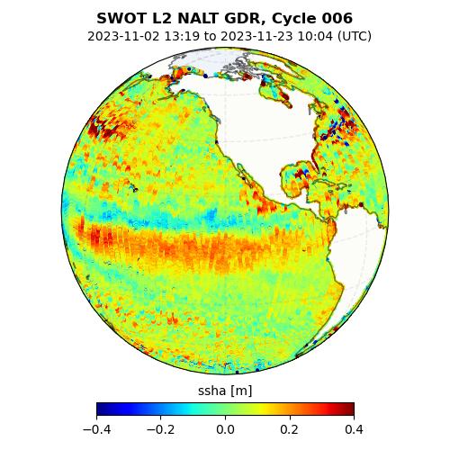
Get a related visualizationJPEG
Thumbnail
-
View this dataset's user's guidePDF
Product Description Document (PDD)
-
Landing PageLanding Page
Dates
| Metadata Created Date | February 22, 2025 |
|---|---|
| Metadata Updated Date | February 22, 2025 |
Metadata Source
- Data.json Data.json Metadata
Harvested from nasa test json
Additional Metadata
| Resource Type | Dataset |
|---|---|
| Metadata Created Date | February 22, 2025 |
| Metadata Updated Date | February 22, 2025 |
| Publisher | NASA/JPL/PODAAC |
| Maintainer | |
| Identifier | C2799465518-POCLOUD |
| Data First Published | 2022-06-28 |
| Language | en-US |
| Data Last Modified | 2025-02-19 |
| Category | SWOT, geospatial |
| Public Access Level | public |
| Bureau Code | 026:00 |
| Metadata Context | https://project-open-data.cio.gov/v1.1/schema/catalog.jsonld |
| Schema Version | https://project-open-data.cio.gov/v1.1/schema |
| Catalog Describedby | https://project-open-data.cio.gov/v1.1/schema/catalog.json |
| Harvest Object Id | 4905685a-8f3c-40b3-925b-f94fdfa1603a |
| Harvest Source Id | a73e0c30-4684-40ef-908e-d22e9e9e5f86 |
| Harvest Source Title | nasa test json |
| Homepage URL | https://doi.org/10.5067/SWOT-NALT-GDR-2.0 |
| Metadata Type | geospatial |
| Old Spatial | -180.0 -77.6 180.0 77.6 |
| Program Code | 026:001 |
| Source Datajson Identifier | True |
| Source Hash | 831ebd467b3e787067dd8f6653eaea8f794370c38fd32d2febef08dc105dbbab |
| Source Schema Version | 1.1 |
| Spatial | |
| Temporal | 2022-12-16T00:00:00Z/2024-03-27T00:00:00Z |
Didn't find what you're looking for? Suggest a dataset here.