

Remote Sensing Systems Radiometer Rain Collocations with JPL RapidScat L2B Swath Grid
Access & Use Information
Downloads & Resources
-
Google Scholar search resultsHTML
Search results for publications that cite this dataset by its DOI.
-
View documentation related to this datasetHTML
Wentz, F.J., L.Ricciardulli, C.Gentemann, T. Meissner, K.A. Hilburn, J....
-
View documentation related to this datasetHTML
Detailed background information on the ISS-RapidScat mission published by the...
-
View this dataset's documented anomaliesCSV
ASCII CSV orbital revolution time tables with quality assurance information.
-
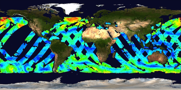
Get a related visualizationJPEG
Thumbnail
-
View documentation related to this datasetHTML
Access to Climate quality L2B data record.
-
View documentation related to this datasetPDF
Summary of Facts on the ISS-RapidScat Mission
-
View documentation related to this datasetHTML
Website providing more detailed information about the ISS-RapidScat Mission.
-
View documentation related to this datasetHTML
Wentz, F.J., T. Meissner, J. Scott, K.A. Hilburn, 2015: Remote Sensing...
-
View documentation related to this datasetPDF
Ricciardulli, L., 2016: Radiometer rain colocations with JPL RapidScat winds...
-
View this dataset's publicationsPDF
Ricciardulli, L. and F.J. Wentz, 2015: A Scatterometer Geophysical Model...
-
View documentation related to this datasetHTML
Wentz, F.J., K.A. Hilburn, D.K. Smith, 2012: Remote Sensing Systems DMSP...
-
View documentation related to this datasetHTML
Wentz, F.J., T. Meissner, C. Gentemann, K.A. Hilburn, J. Scott, 2014: Remote...
-
View this dataset's documented anomaliesHTML
Text file containing reverse chronological list of future scheduled outages...
-
View this dataset's read me documentHTML
README file
-
View this dataset's data citation policyHTML
Data Use and Citation Policy
-
Download this dataset through a directory mapHTML
HTTPS endpoint for data browse and download
-
Download this dataset through Earthdata SearchHTML
Browse granule search results in Earthdata Search
-
Landing PageLanding Page
Dates
| Metadata Created Date | February 21, 2025 |
|---|---|
| Metadata Updated Date | February 21, 2025 |
Metadata Source
- Data.json Data.json Metadata
Harvested from nasa test json
Additional Metadata
| Resource Type | Dataset |
|---|---|
| Metadata Created Date | February 21, 2025 |
| Metadata Updated Date | February 21, 2025 |
| Publisher | NASA/JPL/PODAAC |
| Maintainer | |
| Identifier | C2526576258-POCLOUD |
| Data First Published | 2016-08-24 |
| Language | en-US |
| Data Last Modified | 2025-02-19 |
| Category | ISS_RapidScat, geospatial |
| Public Access Level | public |
| Bureau Code | 026:00 |
| Metadata Context | https://project-open-data.cio.gov/v1.1/schema/catalog.jsonld |
| Schema Version | https://project-open-data.cio.gov/v1.1/schema |
| Catalog Describedby | https://project-open-data.cio.gov/v1.1/schema/catalog.json |
| Harvest Object Id | 6d0b57a2-0bf7-4de8-92bb-e25422f4980e |
| Harvest Source Id | a73e0c30-4684-40ef-908e-d22e9e9e5f86 |
| Harvest Source Title | nasa test json |
| Homepage URL | https://doi.org/10.5067/RSR12-L2C10 |
| Metadata Type | geospatial |
| Old Spatial | -180.0 -61.0 180.0 61.0 |
| Program Code | 026:001 |
| Source Datajson Identifier | True |
| Source Hash | 10f886d10c63538cbb1bd15ec5fa4ec5abafca3e11b1f2774841e5aaff72e41b |
| Source Schema Version | 1.1 |
| Spatial | |
| Temporal | 2014-10-03T19:28:21Z/2016-02-11T15:56:16Z |
Didn't find what you're looking for? Suggest a dataset here.