

OPERA Radiometric Terrain Corrected SAR Backscatter from Sentinel-1 Static Layers validated product (Version 1)
Access & Use Information
Public: This dataset is intended for public access and use.
Non-Federal: This dataset is covered by different Terms of Use than Data.gov.
License: No license information was provided.
Downloads & Resources
-
Google Scholar search resultsHTML
Search results for publications that cite this dataset by its DOI.
-
Download this dataset through VERTEXHTML
ASF data search and download interface
-
The dataset's project home pageHTML
OPERA Project Home Page
-
This dataset's landing pageHTML
Landing page for OPERA products
-
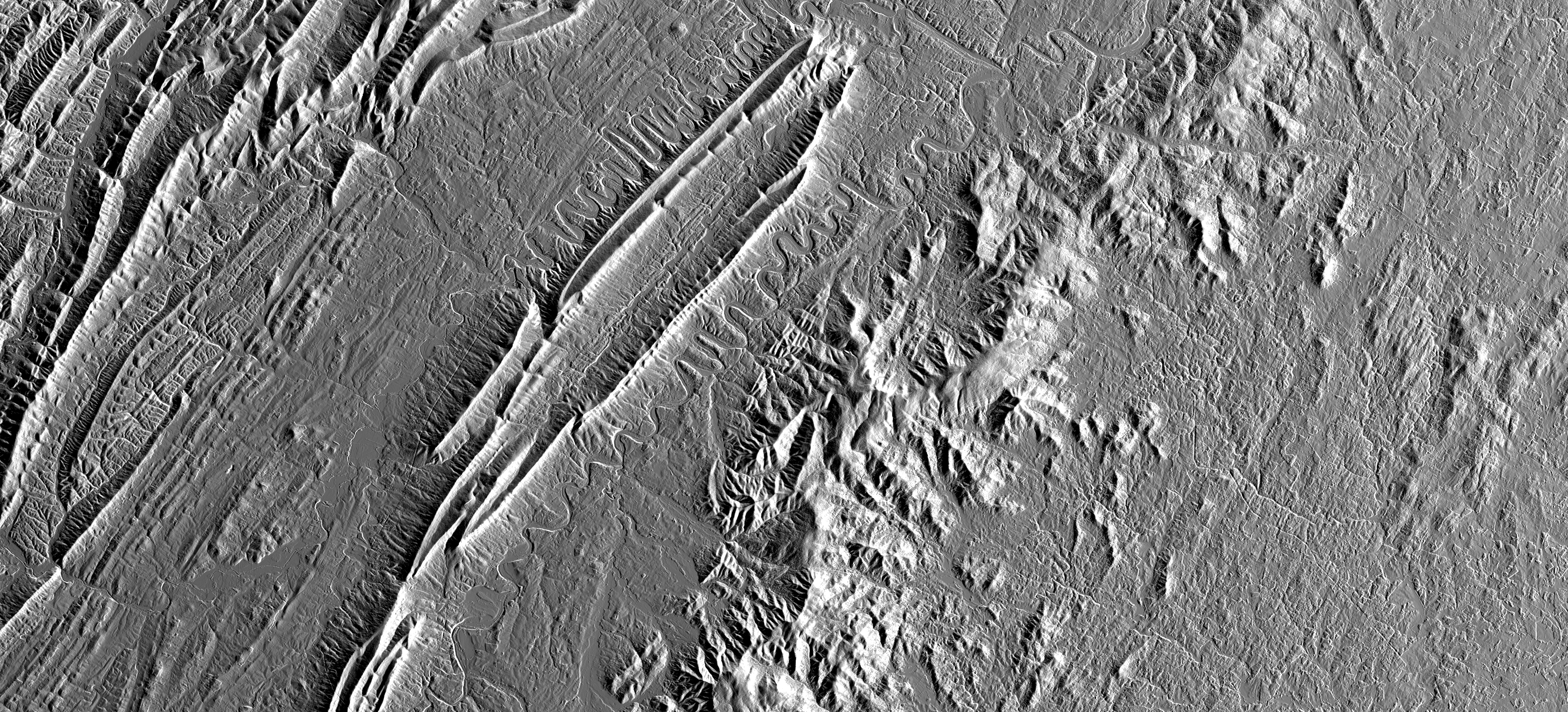
Get a related visualizationPNG
Image to represent the collection
-
Landing PageLanding Page
References
| https://doi.org/10.1109/TGRS.2022.3147472 |
Dates
| Metadata Created Date | February 22, 2025 |
|---|---|
| Metadata Updated Date | February 22, 2025 |
Metadata Source
- Data.json Data.json Metadata
Harvested from nasa test json
Additional Metadata
| Resource Type | Dataset |
|---|---|
| Metadata Created Date | February 22, 2025 |
| Metadata Updated Date | February 22, 2025 |
| Publisher | ASF |
| Maintainer | |
| Identifier | C2795135174-ASF |
| Data First Published | 2014-04-03 |
| Language | en-US |
| Data Last Modified | 2025-02-19 |
| Category | SNWG/OPERA, geospatial |
| Public Access Level | public |
| Bureau Code | 026:00 |
| Metadata Context | https://project-open-data.cio.gov/v1.1/schema/catalog.jsonld |
| Schema Version | https://project-open-data.cio.gov/v1.1/schema |
| Catalog Describedby | https://project-open-data.cio.gov/v1.1/schema/catalog.json |
| Harvest Object Id | 7479e854-3b8b-40a2-b1a3-a74e7755dfde |
| Harvest Source Id | a73e0c30-4684-40ef-908e-d22e9e9e5f86 |
| Harvest Source Title | nasa test json |
| Homepage URL | https://doi.org/10.5067/SNWG/OPERA_L2_RTC-S1-STATIC_V1 |
| Metadata Type | geospatial |
| Old Spatial | -180.0 -90.0 180.0 90.0 |
| Program Code | 026:001 |
| Related Documents | https://doi.org/10.1109/TGRS.2022.3147472 |
| Source Datajson Identifier | True |
| Source Hash | 1246f9684e7fdbe9ddef0d892ccaafef35c825d323ac11a88ba0a2e0528e2a0e |
| Source Schema Version | 1.1 |
| Spatial | |
| Temporal | 2014-04-03T00:00:00Z/2023-12-11T00:00:00Z |
Didn't find what you're looking for? Suggest a dataset here.