

OMI/Aura Level 1B VIS Zoom-in Geolocated Earthshine Radiances 1-orbit L2 Swath 13x12 km V003 (OML1BRVZ) at GES DISC
Access & Use Information
Downloads & Resources
-
Google Scholar search resultsHTML
Search results for publications that cite this dataset by its DOI.
-
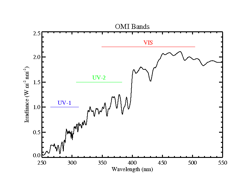
Get a related visualizationPNG
OML1BRVZ_003.png
-
This dataset's landing pageHTML
Access the dataset landing page from the GES DISC website.
-
Download this dataset through a directory mapHTML
Access the data via HTTPS.
-
Download this dataset through Earthdata SearchHTML
Use the Earthdata Search to find and retrieve data sets across multiple data...
-
View this dataset's read me documentPDF
README Document
-
View this dataset's algorithm theoretical...PDF
OMI Algorithm Theoretical Basis Documents
-
View this dataset's read me documentPDF
OMI Data User's Guide
-
View the primary investigator's documentation...PDF
File Specification Document
-
View the primary investigator's documentation...PDF
Known instrumental issues
-
The dataset's project home pageHTML
Aura Project Home Page
-
The dataset's project home pageHTML
OMI KNMI Home Page
-
View this dataset's publicationsHTML
-
Landing PageLanding Page
References
| https://doi.org/10.1109/TGRS.2006.869987 |
| https://doi.org/10.1109/TGRS.2006.872935 |
| https://doi.org/10.1117/12.627013 |
Dates
| Metadata Created Date | February 22, 2025 |
|---|---|
| Metadata Updated Date | February 22, 2025 |
Metadata Source
- Data.json Data.json Metadata
Harvested from nasa test json
Additional Metadata
| Resource Type | Dataset |
|---|---|
| Metadata Created Date | February 22, 2025 |
| Metadata Updated Date | February 22, 2025 |
| Publisher | NASA/GSFC/SED/ESD/GCDC/GESDISC |
| Maintainer | |
| Identifier | C1239966767-GES_DISC |
| Data First Published | 2004-08-09 |
| Language | en-US |
| Data Last Modified | 2025-02-19 |
| Category | Aura, geospatial |
| Public Access Level | public |
| Bureau Code | 026:00 |
| Metadata Context | https://project-open-data.cio.gov/v1.1/schema/catalog.jsonld |
| Schema Version | https://project-open-data.cio.gov/v1.1/schema |
| Catalog Describedby | https://project-open-data.cio.gov/v1.1/schema/catalog.json |
| Harvest Object Id | 2b39e77e-112c-41a2-a159-dd3cb332ab1f |
| Harvest Source Id | a73e0c30-4684-40ef-908e-d22e9e9e5f86 |
| Harvest Source Title | nasa test json |
| Homepage URL | https://doi.org/10.5067/Aura/OMI/DATA1005 |
| Metadata Type | geospatial |
| Old Spatial | -180.0 -90.0 180.0 90.0 |
| Program Code | 026:001 |
| Related Documents | https://doi.org/10.1109/TGRS.2006.869987, https://doi.org/10.1109/TGRS.2006.872935, https://doi.org/10.1117/12.627013 |
| Source Datajson Identifier | True |
| Source Hash | 8598498b480366f30f7987c62e6d8e9b900590e1abec29b680781ddec4b510bf |
| Source Schema Version | 1.1 |
| Spatial | |
| Temporal | 2004-10-06T00:00:00Z/2022-01-17T00:00:00Z |
Didn't find what you're looking for? Suggest a dataset here.