

NRT AMSR2 Unified Global Swath Surface Precipitation GSFC Profiling Algorithm V2
Access & Use Information
Public: This dataset is intended for public access and use.
Non-Federal: This dataset is covered by different Terms of Use than Data.gov.
License: No license information was provided.
Downloads & Resources
-
Google Scholar search resultsHTML
Search results for publications that cite this dataset by its DOI.
-
Download this datasetHTML
Files may be downloaded directly to your workstation from this link
-
Download this dataset through LANCEHTML
Files may be downloaded directly to your workstation from this link
-
The dataset's project home pageHTML
The home page for the project or program which sponsored the dataset
-
Get a related visualization through WORLDVIEWHTML
Interactively browse imagery in EOSDIS Worldview
-
View this dataset's data recipesHTML
Data Format Conversion Recipes
-
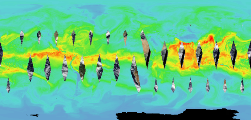
Get a related visualizationPNG
Sample browse image
-
View documentation related to this datasetHTML
Instructions for citing GHRC data
-
Landing PageLanding Page
Dates
| Metadata Created Date | February 22, 2025 |
|---|---|
| Metadata Updated Date | February 22, 2025 |
Metadata Source
- Data.json Data.json Metadata
Harvested from nasa test json
Additional Metadata
| Resource Type | Dataset |
|---|---|
| Metadata Created Date | February 22, 2025 |
| Metadata Updated Date | February 22, 2025 |
| Publisher | Not provided |
| Maintainer | |
| Identifier | C2152626500-LANCEAMSR2 |
| Data First Published | 2021-10-20 |
| Language | en-US |
| Data Last Modified | 2025-02-19 |
| Category | LANCE, geospatial |
| Public Access Level | public |
| Bureau Code | 026:00 |
| Metadata Context | https://project-open-data.cio.gov/v1.1/schema/catalog.jsonld |
| Schema Version | https://project-open-data.cio.gov/v1.1/schema |
| Catalog Describedby | https://project-open-data.cio.gov/v1.1/schema/catalog.json |
| Harvest Object Id | f87675c6-7cef-49c0-88da-2d660cec67a1 |
| Harvest Source Id | a73e0c30-4684-40ef-908e-d22e9e9e5f86 |
| Harvest Source Title | nasa test json |
| Homepage URL | https://doi.org/10.5067/AMSRU/AU_RAIN_NRT_R02 |
| Metadata Type | geospatial |
| Old Spatial | -180.0 -89.0 180.0 89.0 |
| Program Code | 026:001 |
| Source Datajson Identifier | True |
| Source Hash | 3d416c11570e59894e3b46cd0f89f9212a80d018dc0d03872b8e84a684279996 |
| Source Schema Version | 1.1 |
| Spatial | |
| Temporal | 2021-10-01T00:00:00Z/2023-02-28T00:00:00Z |
Didn't find what you're looking for? Suggest a dataset here.