

NAMMA HIGH ALTITUDE MMIC SOUNDING RADIOMETER (HAMSR) V1
Access & Use Information
Public: This dataset is intended for public access and use.
Non-Federal: This dataset is covered by different Terms of Use than Data.gov.
License: No license information was provided.
Downloads & Resources
-
Google Scholar search resultsHTML
Search results for publications that cite this dataset by its DOI.
-
Download this datasetHTML
Files may be downloaded directly to your workstation from this link
-
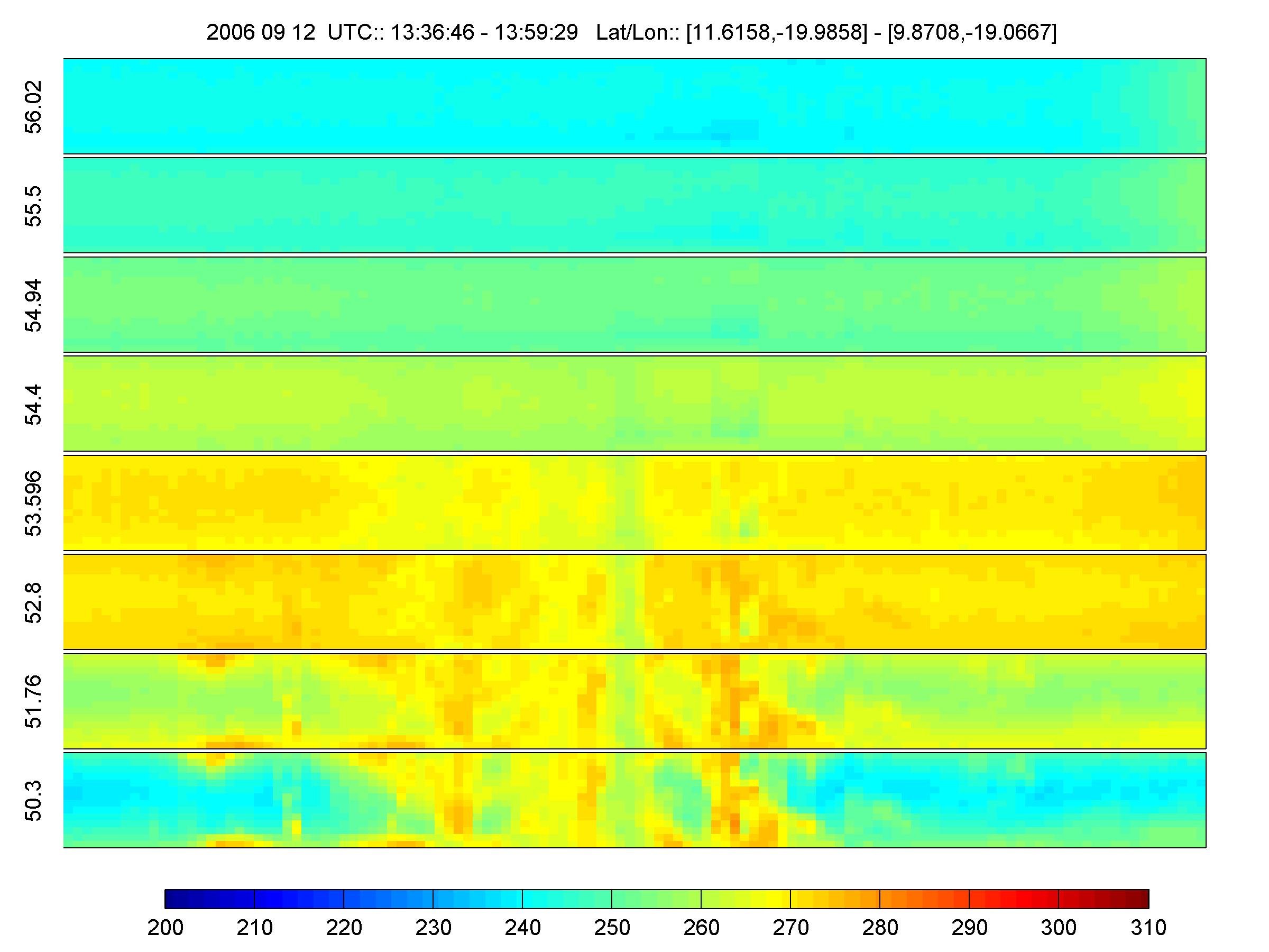
Get a related visualizationJPEG
Sample browse image
-
View documentation related to this datasetHTML
The guide document contains detailed information about the dataset
-
View the primary investigator's documentation...EXCEL
NAMMA instrument Status HAMSR
-
View the primary investigator's documentation...PDF
Description of NAMMA HAMSR 2-km HDF data files
-
The dataset's project home pageHTML
The home page for the project or program which sponsored the dataset
-
View a micro article on this datasetHTML
Hurricane Micro Article
-
Get a related visualizationHTML
N/A
-
View documentation related to this datasetHTML
Instructions for citing GHRC data
-
Landing PageLanding Page
Dates
| Metadata Created Date | February 22, 2025 |
|---|---|
| Metadata Updated Date | February 22, 2025 |
Metadata Source
- Data.json Data.json Metadata
Harvested from nasa test json
Additional Metadata
| Resource Type | Dataset |
|---|---|
| Metadata Created Date | February 22, 2025 |
| Metadata Updated Date | February 22, 2025 |
| Publisher | NASA/MSFC/GHRC |
| Maintainer | |
| Identifier | C1979886197-GHRC_DAAC |
| Data First Published | 2006-06-01 |
| Language | en-US |
| Data Last Modified | 2025-02-19 |
| Category | NAMMA, geospatial |
| Public Access Level | public |
| Bureau Code | 026:00 |
| Metadata Context | https://project-open-data.cio.gov/v1.1/schema/catalog.jsonld |
| Schema Version | https://project-open-data.cio.gov/v1.1/schema |
| Catalog Describedby | https://project-open-data.cio.gov/v1.1/schema/catalog.json |
| Harvest Object Id | 7bb78131-8cfa-48e5-9b21-d853436ff22d |
| Harvest Source Id | a73e0c30-4684-40ef-908e-d22e9e9e5f86 |
| Harvest Source Title | nasa test json |
| Homepage URL | https://doi.org/10.5067/NAMMA/HAMSR/DATA201 |
| Metadata Type | geospatial |
| Old Spatial | -84.51 7.05 -10.56 42.04 |
| Program Code | 026:001 |
| Source Datajson Identifier | True |
| Source Hash | b4a92cbafbd8d5fdedaed6b41fc5e8d786629f320836eb91e573fa621c80b7e3 |
| Source Schema Version | 1.1 |
| Spatial | |
| Temporal | 2006-08-15T04:36:52Z/2006-09-12T19:47:26Z |
Didn't find what you're looking for? Suggest a dataset here.