

Get a related visualization
URL: https://docserver.gesdisc.eosdis.nasa.gov/public/project/Images/MAC06S0_002.png
MAC06S0_002.png
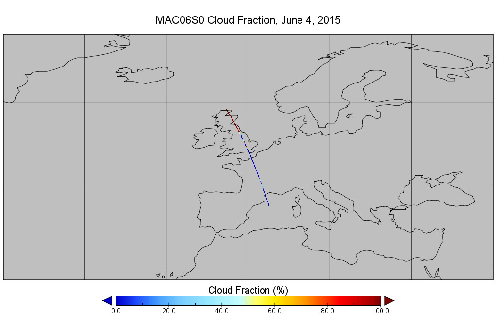
Source: MODIS/Aqua Clouds 1km and 5km 5-Min L2 Narrow Swath Subset along CloudSat V002 (MAC06S0) at GES DISC
About this Resource
| Last updated | unknown |
|---|---|
| Created | unknown |
| Name | Get a related visualization |
| Format | PNG Image File |
| License | License not specified |
| Created | 3 months ago |
| Media type | image/png |
| has views | True |
| id | 13ab83d0-8d36-4aa6-b7ec-1ad797d3ca00 |
| metadata modified | 3 months ago |
| package id | 9525cc0f-cd97-47c7-889e-0b5f2e6d54a5 |
| position | 0 |
| state | active |
| tracking summary | {'total': 0, 'recent': 0} |