

MODIS/Aqua Aerosol 10km 5-Min L2 Narrow Swath Subset along CloudSat V002 (MAC04S0) at GES DISC
Access & Use Information
Public: This dataset is intended for public access and use.
Non-Federal: This dataset is covered by different Terms of Use than Data.gov.
License: No license information was provided.
Downloads & Resources
-
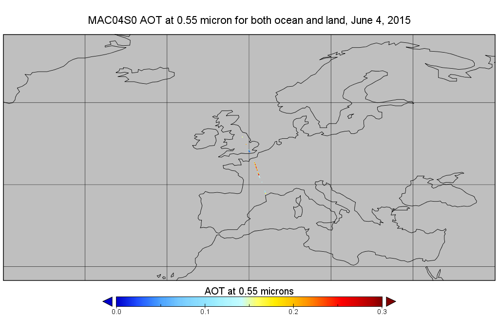
Get a related visualizationPNG
MAC04S0_002.png
-
This dataset's landing pageHTML
Access the dataset landing page from the GES DISC website.
-
Download this dataset through a directory mapHTML
Access the data via HTTPS
-
View information related to this datasetHTML
MODIS Project Home Page
-
View information related to this datasetHTML
CloudSat Data Processing Center
-
View documentation related to this datasetHTML
Quality Assurance for the original product.
-
Landing PageLanding Page
Dates
| Metadata Created Date | February 21, 2025 |
|---|---|
| Metadata Updated Date | February 21, 2025 |
Metadata Source
- Data.json Data.json Metadata
Harvested from nasa test json
Additional Metadata
| Resource Type | Dataset |
|---|---|
| Metadata Created Date | February 21, 2025 |
| Metadata Updated Date | February 21, 2025 |
| Publisher | NASA/GSFC/SED/ESD/GCDC/GESDISC |
| Maintainer | |
| Identifier | C1236350918-GES_DISC |
| Data First Published | 2006-06-02 |
| Language | en-US |
| Data Last Modified | 2025-02-19 |
| Category | ATDD, geospatial |
| Public Access Level | public |
| Bureau Code | 026:00 |
| Metadata Context | https://project-open-data.cio.gov/v1.1/schema/catalog.jsonld |
| Schema Version | https://project-open-data.cio.gov/v1.1/schema |
| Catalog Describedby | https://project-open-data.cio.gov/v1.1/schema/catalog.json |
| Harvest Object Id | c6b30024-71e3-4198-a22f-699a7fca5232 |
| Harvest Source Id | a73e0c30-4684-40ef-908e-d22e9e9e5f86 |
| Harvest Source Title | nasa test json |
| Homepage URL | https://cmr.earthdata.nasa.gov:443/search/concepts/C1236350918-GES_DISC.html |
| Metadata Type | geospatial |
| Old Spatial | -180.0 -90.0 180.0 90.0 |
| Program Code | 026:001 |
| Source Datajson Identifier | True |
| Source Hash | 9ef258436bc4cae2bc826f6a13471c88e7d2ce130657e5488c619bed741657a5 |
| Source Schema Version | 1.1 |
| Spatial | |
| Temporal | 2006-06-02T00:00:00Z/2018-02-28T23:59:59.999Z |
Didn't find what you're looking for? Suggest a dataset here.