

GPM Ground Validation UNCA Upper Air Radiosonde IPHEx V1
Access & Use Information
Downloads & Resources
-
Google Scholar search resultsHTML
Search results for publications that cite this dataset by its DOI.
-
Download this datasetHTML
Files may be downloaded directly to your workstation from this link
-
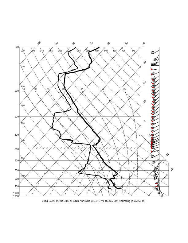
Get a related visualizationPNG
Sample Browse Image
-
View information related to this datasetHTML
IPHEx Field Campaign Collection DOI
-
View information related to this datasetPDF
iMet-1-ABxn Radiosonde 403 MHz GPS with Pressure Sensor
-
View information related to this datasetHTML
IPHEx2014 current data
-
View documentation related to this datasetPDF
The guide document contains detailed information about the dataset
-
The dataset's project home pageHTML
GHRC IPHEx project web page
-
Get a related visualizationHTML
Browse images illustrate the nature and coverage of the data
-
View documentation related to this datasetHTML
Instructions for citing GHRC data
-
Landing PageLanding Page
Dates
| Metadata Created Date | February 22, 2025 |
|---|---|
| Metadata Updated Date | February 22, 2025 |
Metadata Source
- Data.json Data.json Metadata
Harvested from nasa test json
Additional Metadata
| Resource Type | Dataset |
|---|---|
| Metadata Created Date | February 22, 2025 |
| Metadata Updated Date | February 22, 2025 |
| Publisher | NASA/MSFC/GHRC |
| Maintainer | |
| Identifier | C1979694031-GHRC_DAAC |
| Data First Published | 2016-12-05 |
| Language | en-US |
| Data Last Modified | 2025-02-19 |
| Category | IPHEx, geospatial |
| Public Access Level | public |
| Bureau Code | 026:00 |
| Metadata Context | https://project-open-data.cio.gov/v1.1/schema/catalog.jsonld |
| Schema Version | https://project-open-data.cio.gov/v1.1/schema |
| Catalog Describedby | https://project-open-data.cio.gov/v1.1/schema/catalog.json |
| Harvest Object Id | f1eeea8d-7b39-4f5e-b39a-9fad09388f88 |
| Harvest Source Id | a73e0c30-4684-40ef-908e-d22e9e9e5f86 |
| Harvest Source Title | nasa test json |
| Homepage URL | https://doi.org/10.5067/GPMGV/IPHEX/RADIOSONDE/DATA201 |
| Metadata Type | geospatial |
| Old Spatial | -82.5944 35.1665 -81.4548 36.5301 |
| Program Code | 026:001 |
| Source Datajson Identifier | True |
| Source Hash | e2e6591a409cbabca6820e806ff73c8ced6b1345578860768917b1b36fdf667b |
| Source Schema Version | 1.1 |
| Spatial | |
| Temporal | 2014-04-29T23:58:00Z/2014-06-12T22:28:33Z |
Didn't find what you're looking for? Suggest a dataset here.