

GPM Ground Validation Self-Calibrating Multivariate Precipitation Retrieval (SCaMPR) IPHEx V1
Access & Use Information
Downloads & Resources
-
Google Scholar search resultsHTML
Search results for publications that cite this dataset by its DOI.
-
Download this datasetHTML
Files may be downloaded directly to your workstation from this link
-
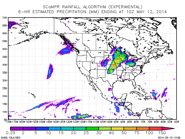
Get a related visualizationGIF
Sample browse image
-
View information related to this datasetHTML
IPHEx Field Campaign Collection DOI
-
View documentation related to this datasetPDF
The guide document contains detailed information about the dataset
-
View this dataset's publicationsHTML
Impact of TRMM data on a low-latency, high-resolution precipitation algorithm...
-
View this dataset's publicationsHTML
A self-calibrating real-time GOES rainfall algorithm for short-term rainfall...
-
View this dataset's algorithm theoretical...PDF
Rainfall Rate (QPE) Algorithm Theoretical Basis Document
-
The dataset's project home pageHTML
IPHEx: Integrated Precipitation and Hydrology Experiment
-
View documentation related to this datasetHTML
Instructions for citing GHRC data
-
Landing PageLanding Page
Dates
| Metadata Created Date | February 22, 2025 |
|---|---|
| Metadata Updated Date | February 22, 2025 |
Metadata Source
- Data.json Data.json Metadata
Harvested from nasa test json
Additional Metadata
| Resource Type | Dataset |
|---|---|
| Metadata Created Date | February 22, 2025 |
| Metadata Updated Date | February 22, 2025 |
| Publisher | NASA/MSFC/GHRC |
| Maintainer | |
| Identifier | C1979717298-GHRC_DAAC |
| Data First Published | 2017-10-10 |
| Language | en-US |
| Data Last Modified | 2025-02-19 |
| Category | IPHEx, geospatial |
| Public Access Level | public |
| Bureau Code | 026:00 |
| Metadata Context | https://project-open-data.cio.gov/v1.1/schema/catalog.jsonld |
| Schema Version | https://project-open-data.cio.gov/v1.1/schema |
| Catalog Describedby | https://project-open-data.cio.gov/v1.1/schema/catalog.json |
| Harvest Object Id | e331beb6-c98a-4ff6-af77-2950702cdc0c |
| Harvest Source Id | a73e0c30-4684-40ef-908e-d22e9e9e5f86 |
| Harvest Source Title | nasa test json |
| Homepage URL | https://doi.org/10.5067/GPMGV/IPHEX/SCAMPR/DATA301 |
| Metadata Type | geospatial |
| Old Spatial | -91.741 27.897 -71.798 42.921 |
| Program Code | 026:001 |
| Source Datajson Identifier | True |
| Source Hash | fa9f4e6c1221b9892eff28f15e5322f3946839df8a42e705f40a06fdbec587a8 |
| Source Schema Version | 1.1 |
| Spatial | |
| Temporal | 2014-04-30T23:47:00Z/2014-06-16T23:45:00Z |
Didn't find what you're looking for? Suggest a dataset here.