

GPM GROUND VALIDATION NOAA UHF 449 PROFILER MC3E V1
Access & Use Information
Downloads & Resources
-
Google Scholar search resultsHTML
Search results for publications that cite this dataset by its DOI.
-
Download this datasetHTML
Files may be downloaded directly to your workstation from this link
-
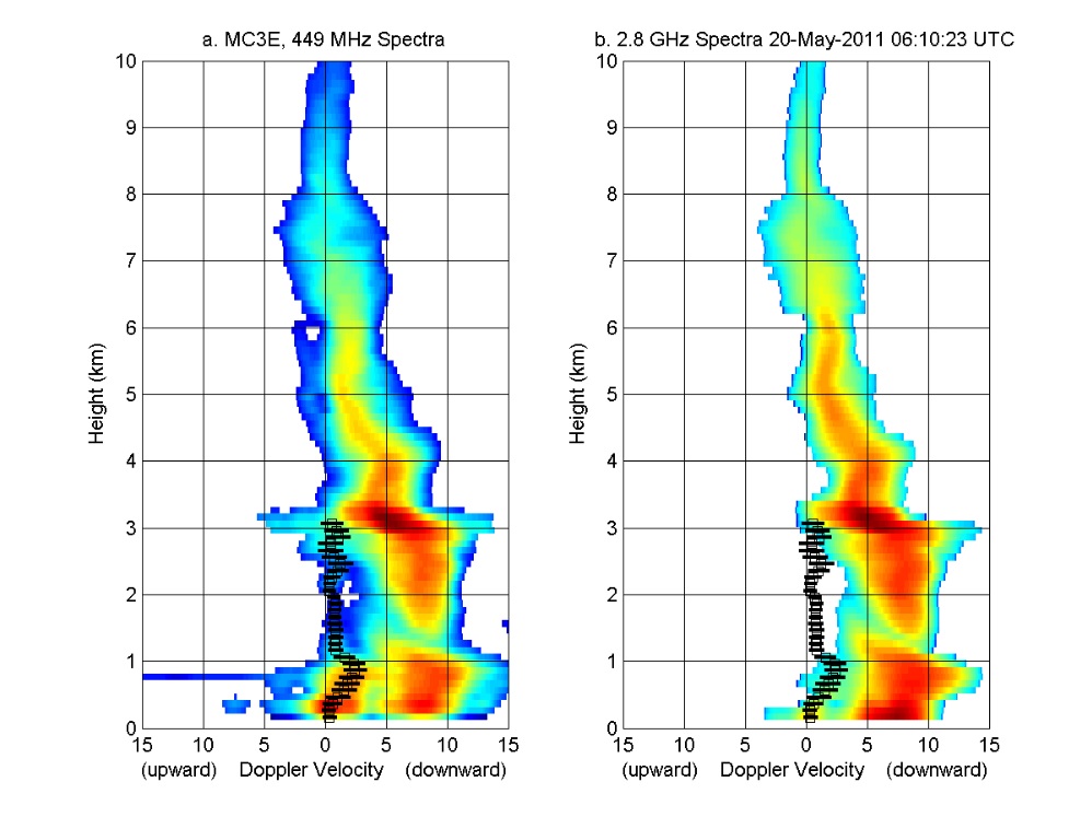
Get a related visualizationJPEG
Sample browse image
-
View information related to this datasetHTML
MC3E Field Campaign Collection DOI
-
View documentation related to this datasetHTML
The guide document contains detailed information about the dataset
-
View the primary investigator's documentation...PDF
Description of Data Collected by the NOAA 449-MHz and 2.8-GHz Profilers...
-
View the primary investigator's documentation...HTML
Description of Data Collected by the NOAA 449-MHz and 2.8-GHz Profilers...
-
The dataset's project home pageHTML
The home page for the project or program which sponsored the dataset
-
Get a related visualizationHTML
N/A
-
View documentation related to this datasetHTML
Instructions for citing GHRC data
-
Landing PageLanding Page
Dates
| Metadata Created Date | February 23, 2025 |
|---|---|
| Metadata Updated Date | February 23, 2025 |
Metadata Source
- Data.json Data.json Metadata
Harvested from nasa test json
Additional Metadata
| Resource Type | Dataset |
|---|---|
| Metadata Created Date | February 23, 2025 |
| Metadata Updated Date | February 23, 2025 |
| Publisher | NASA/MSFC/GHRC |
| Maintainer | |
| Identifier | C1979827921-GHRC_DAAC |
| Data First Published | 2012-09-11 |
| Language | en-US |
| Data Last Modified | 2025-02-19 |
| Category | MC3E, geospatial |
| Public Access Level | public |
| Bureau Code | 026:00 |
| Metadata Context | https://project-open-data.cio.gov/v1.1/schema/catalog.jsonld |
| Schema Version | https://project-open-data.cio.gov/v1.1/schema |
| Catalog Describedby | https://project-open-data.cio.gov/v1.1/schema/catalog.json |
| Harvest Object Id | b090be8f-6b1b-4637-92e8-5781e3c921f1 |
| Harvest Source Id | a73e0c30-4684-40ef-908e-d22e9e9e5f86 |
| Harvest Source Title | nasa test json |
| Homepage URL | https://doi.org/10.5067/GPMGV/MC3E/PROFILER/DATA101 |
| Metadata Type | geospatial |
| Old Spatial | -97.491 36.599 -97.489 36.601 |
| Program Code | 026:001 |
| Source Datajson Identifier | True |
| Source Hash | 7a38f386037717f31265ecdd88bb637ac819b283c592a700537bb002b72f8bf8 |
| Source Schema Version | 1.1 |
| Spatial | |
| Temporal | 2011-04-08T16:00:11Z/2011-06-07T13:50:51Z |
Didn't find what you're looking for? Suggest a dataset here.