

GPM Ground Validation Iowa Flood Center (IFC) Rain Gauges IFloodS V1
Access & Use Information
Downloads & Resources
-
Google Scholar search resultsHTML
Search results for publications that cite this dataset by its DOI.
-
Download this datasetHTML
Files may be downloaded directly to your workstation from this link
-
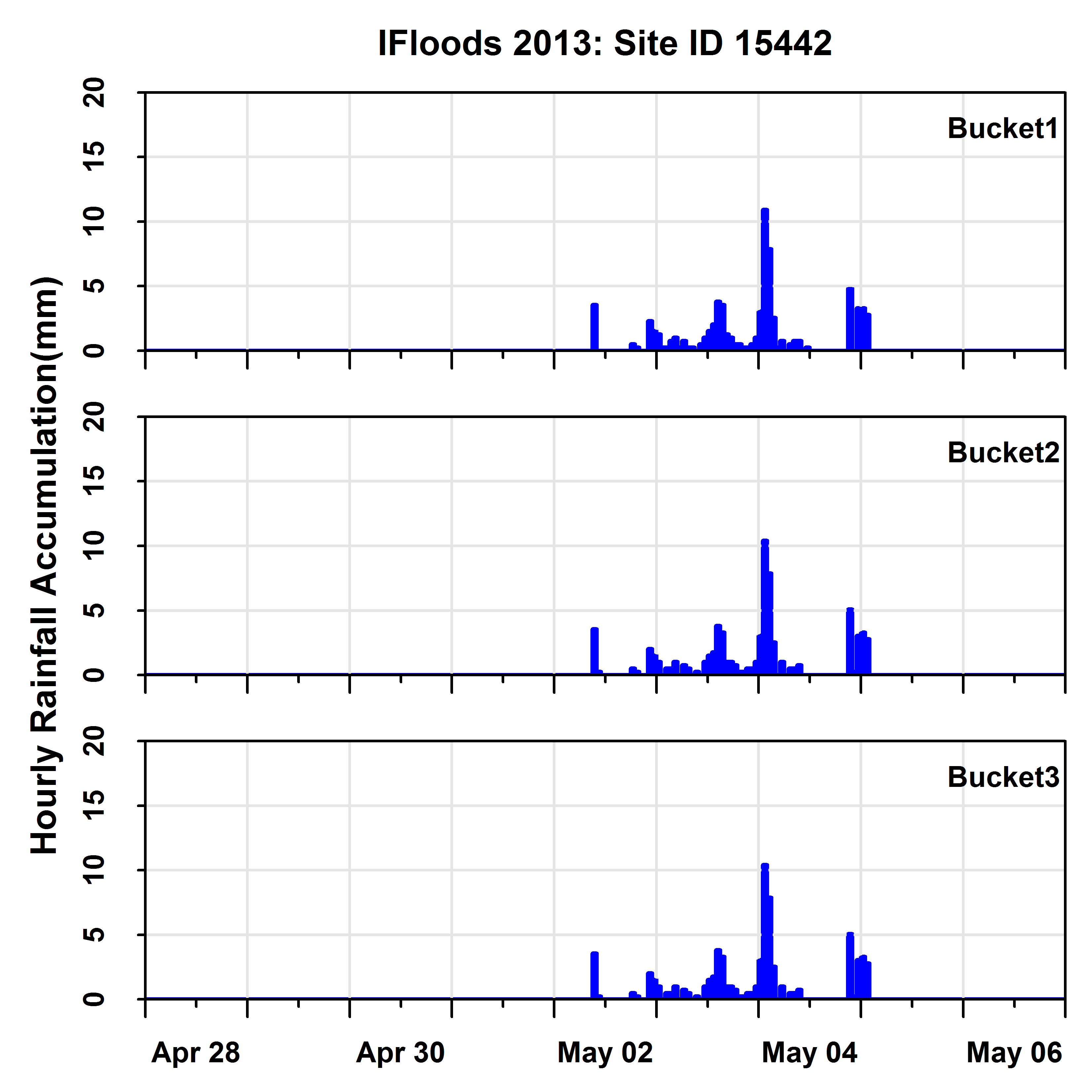
Get a related visualizationPNG
Sample browse image
-
View documentation related to this datasetPDF
Global Precipitation Measurement (GPM) Science Implementation Plan
-
View information related to this datasetHTML
IFloodS Field Campaign Collection DOI
-
View documentation related to this datasetPDF
The guide document contains detailed information about the dataset
-
View the primary investigator's documentation...HTML
Overall description of the data
-
View this dataset's publicationsHTML
Local random errors in tipping-bucket rain gauge measurements
-
View this dataset's publicationsHTML
Comparison of Rain Gauge Measurements in the Mid-Atlantic Region
-
View this dataset's publicationsHTML
Evaluation of TRMM ground-validation radar-rain errors using rain gauge...
-
Get a related visualizationHTML
N/A
-
View documentation related to this datasetHTML
Instructions for citing GHRC data
-
Landing PageLanding Page
Dates
| Metadata Created Date | February 22, 2025 |
|---|---|
| Metadata Updated Date | February 22, 2025 |
Metadata Source
- Data.json Data.json Metadata
Harvested from nasa test json
Additional Metadata
| Resource Type | Dataset |
|---|---|
| Metadata Created Date | February 22, 2025 |
| Metadata Updated Date | February 22, 2025 |
| Publisher | NASA/MSFC/GHRC |
| Maintainer | |
| Identifier | C1979697680-GHRC_DAAC |
| Data First Published | 2017-08-08 |
| Language | en-US |
| Data Last Modified | 2025-02-19 |
| Category | IFloodS, geospatial |
| Public Access Level | public |
| Bureau Code | 026:00 |
| Metadata Context | https://project-open-data.cio.gov/v1.1/schema/catalog.jsonld |
| Schema Version | https://project-open-data.cio.gov/v1.1/schema |
| Catalog Describedby | https://project-open-data.cio.gov/v1.1/schema/catalog.json |
| Harvest Object Id | e65d424d-1f41-43de-a34f-d07caed454fa |
| Harvest Source Id | a73e0c30-4684-40ef-908e-d22e9e9e5f86 |
| Harvest Source Title | nasa test json |
| Homepage URL | https://doi.org/10.5067/GPMGV/IFLOODS/GAUGES/DATA/101 |
| Metadata Type | geospatial |
| Old Spatial | -91.6459 41.8548 -91.6348 41.8599 |
| Program Code | 026:001 |
| Source Datajson Identifier | True |
| Source Hash | d2add82b0eb6417ffb9e95604caa63d327a4adfbce932aa8b1efc29eb40aaf36 |
| Source Schema Version | 1.1 |
| Spatial | |
| Temporal | 2013-04-28T00:00:00Z/2013-05-20T23:55:00Z |
Didn't find what you're looking for? Suggest a dataset here.