

GPM GROUND VALIDATION CONICAL SCANNING MILLIMETER-WAVE IMAGING RADIOMETER (COSMIR) IPHEx V1
Access & Use Information
Downloads & Resources
-
Google Scholar search resultsHTML
Search results for publications that cite this dataset by its DOI.
-
Download this datasetHTML
Files may be downloaded directly to your workstation from this link
-
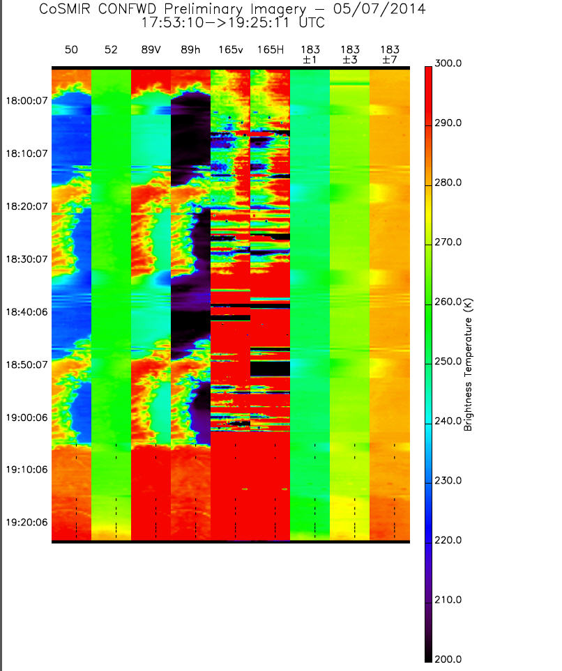
Get a related visualizationJPEG
Sample browse image
-
View information related to this datasetHTML
IPHEx Field Campaign Collection DOI
-
View information related to this datasetHTML
NASA Armstrong Fact Sheet: ER-2 High-Altitude Airborne Science Aircraft
-
View documentation related to this datasetPDF
The guide document contains detailed information about the dataset
-
View this dataset's publicationsHTML
NASA GPM-Ground Validation: Integrated Precipitation and Hydrology Experiment...
-
View this dataset's publicationsHTML
A Comparison of Near-Concurrent Measurements From the SSMIS and CoSMIR for...
-
View this dataset's publicationsHTML
Airborne CoSMIR Observations Between 50 and 183 GHz Over Snow-Covered Sierra...
-
The dataset's project home pageHTML
IPHEx Field Campaign Project Homepage
-
Get a related visualizationHTML
Browse images illustrate the nature and coverage of the data
-
View documentation related to this datasetHTML
Instructions for citing GHRC data
-
Landing PageLanding Page
Dates
| Metadata Created Date | February 22, 2025 |
|---|---|
| Metadata Updated Date | February 22, 2025 |
Metadata Source
- Data.json Data.json Metadata
Harvested from nasa test json
Additional Metadata
| Resource Type | Dataset |
|---|---|
| Metadata Created Date | February 22, 2025 |
| Metadata Updated Date | February 22, 2025 |
| Publisher | NASA/MSFC/GHRC |
| Maintainer | |
| Identifier | C1979138337-GHRC_DAAC |
| Data First Published | 2015-07-06 |
| Language | en-US |
| Data Last Modified | 2025-02-19 |
| Category | IPHEx, geospatial |
| Public Access Level | public |
| Bureau Code | 026:00 |
| Metadata Context | https://project-open-data.cio.gov/v1.1/schema/catalog.jsonld |
| Schema Version | https://project-open-data.cio.gov/v1.1/schema |
| Catalog Describedby | https://project-open-data.cio.gov/v1.1/schema/catalog.json |
| Harvest Object Id | cfb0f95d-a9f8-42bb-a698-240872909ee1 |
| Harvest Source Id | a73e0c30-4684-40ef-908e-d22e9e9e5f86 |
| Harvest Source Title | nasa test json |
| Homepage URL | https://doi.org/10.5067/GPMGV/IPHEX/CoSMIR/DATA101 |
| Metadata Type | geospatial |
| Old Spatial | -117.35 30.182 -74.611 36.85 |
| Program Code | 026:001 |
| Source Datajson Identifier | True |
| Source Hash | 46a6f2ae6c479ac56512ad2212e5b65d611f2eddcd9057b29ba2b987585a2b66 |
| Source Schema Version | 1.1 |
| Spatial | |
| Temporal | 2014-05-07T17:53:40Z/2014-06-14T20:52:34Z |
Didn't find what you're looking for? Suggest a dataset here.