

GPM Ground Validation C-band Vantaa (VAN) Radar LPVEx V1
Access & Use Information
Downloads & Resources
-
Google Scholar search resultsHTML
Search results for publications that cite this dataset by its DOI.
-
Download this datasetHTML
Files may be downloaded directly to your workstation from this link
-
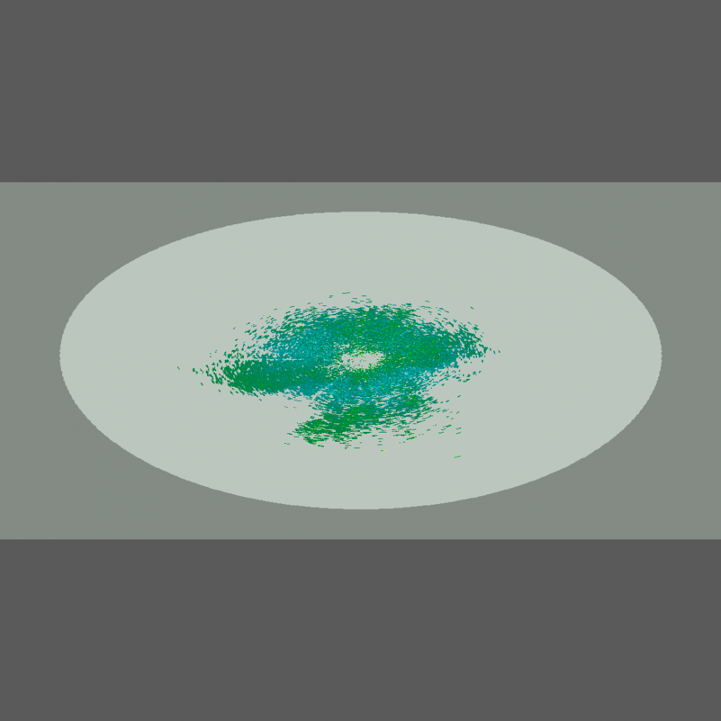
Get a related visualizationPNG
Sample browse image
-
View documentation related to this datasetPDF
Light Precipitation Validation Experiment (LPVEx) Science Plan
-
View documentation related to this datasetHTML
The NASA CloudSat/GPM Light Precipitation Validation Experiment (LPVEx)
-
View information related to this datasetHTML
LPVEx Field Campaign Collection DOI
-
View information related to this datasetHTML
Instrument Information
-
View documentation related to this datasetPDF
GPM Ground Validation C-Band Radar LPVEx User Guide
-
View this dataset's publicationsHTML
Quality Assurance in the FMI Doppler Weather Radar Network
-
The dataset's project home pageHTML
LPVEx Field Campaign Project Homepage
-
Get a related visualizationHTML
N/A
-
View documentation related to this datasetHTML
Instructions for citing GHRC data
-
Landing PageLanding Page
Dates
| Metadata Created Date | February 22, 2025 |
|---|---|
| Metadata Updated Date | February 22, 2025 |
Metadata Source
- Data.json Data.json Metadata
Harvested from nasa test json
Additional Metadata
| Resource Type | Dataset |
|---|---|
| Metadata Created Date | February 22, 2025 |
| Metadata Updated Date | February 22, 2025 |
| Publisher | NASA/MSFC/GHRC |
| Maintainer | |
| Identifier | C1995570271-GHRC_DAAC |
| Data First Published | 2020-04-27 |
| Language | en-US |
| Data Last Modified | 2025-02-19 |
| Category | LPVEX, geospatial |
| Public Access Level | public |
| Bureau Code | 026:00 |
| Metadata Context | https://project-open-data.cio.gov/v1.1/schema/catalog.jsonld |
| Schema Version | https://project-open-data.cio.gov/v1.1/schema |
| Catalog Describedby | https://project-open-data.cio.gov/v1.1/schema/catalog.json |
| Harvest Object Id | b5e0f725-fc55-493b-a231-a3bd97d13e7b |
| Harvest Source Id | a73e0c30-4684-40ef-908e-d22e9e9e5f86 |
| Harvest Source Title | nasa test json |
| Homepage URL | https://doi.org/10.5067/GPMGV/LPVEX/RADAR/DATA501 |
| Metadata Type | geospatial |
| Old Spatial | 24.896 60.322 24.916 60.342 |
| Program Code | 026:001 |
| Source Datajson Identifier | True |
| Source Hash | f8f279d96ae7a3264348795ebafc51bbd9ed985b84f80e4e6be5bb098c7f46ef |
| Source Schema Version | 1.1 |
| Spatial | |
| Temporal | 2010-09-16T00:00:00Z/2011-01-31T23:59:59Z |
Didn't find what you're looking for? Suggest a dataset here.