

GOES-R PLT Surface Radiance Ivanpah V1
Access & Use Information
Public: This dataset is intended for public access and use.
Non-Federal: This dataset is covered by different Terms of Use than Data.gov.
License: No license information was provided.
Downloads & Resources
-
Google Scholar search resultsHTML
Search results for publications that cite this dataset by its DOI.
-
Download this datasetHTML
Files may be downloaded directly to your workstation from this link
-
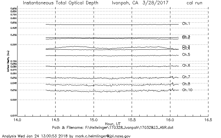
Get a related visualizationJPEG
Browse Sample
-
View information related to this datasetHTML
GOES-R PLT Field Campaign Collection DOI
-
View documentation related to this datasetPDF
The guide document contains detailed information about the dataset
-
View this dataset's publicationsHTML
Optimal estimation for imaging spectrometer atmospheric correction
-
View a micro article on this datasetHTML
GOES-R PLT Field Campaign Micro Article
-
Get a related visualizationHTML
N/A
-
View documentation related to this datasetHTML
Instructions for citing GHRC data
-
Landing PageLanding Page
Dates
| Metadata Created Date | February 22, 2025 |
|---|---|
| Metadata Updated Date | February 22, 2025 |
Metadata Source
- Data.json Data.json Metadata
Harvested from nasa test json
Additional Metadata
| Resource Type | Dataset |
|---|---|
| Metadata Created Date | February 22, 2025 |
| Metadata Updated Date | February 22, 2025 |
| Publisher | NASA/MSFC/GHRC |
| Maintainer | |
| Identifier | C1979115951-GHRC_DAAC |
| Data First Published | 2019-09-06 |
| Language | en-US |
| Data Last Modified | 2025-02-19 |
| Category | GOES-R PLT, geospatial |
| Public Access Level | public |
| Bureau Code | 026:00 |
| Metadata Context | https://project-open-data.cio.gov/v1.1/schema/catalog.jsonld |
| Schema Version | https://project-open-data.cio.gov/v1.1/schema |
| Catalog Describedby | https://project-open-data.cio.gov/v1.1/schema/catalog.json |
| Harvest Object Id | 19205d52-d2f7-4d1f-b2d6-6bf5a7c84ae2 |
| Harvest Source Id | a73e0c30-4684-40ef-908e-d22e9e9e5f86 |
| Harvest Source Title | nasa test json |
| Homepage URL | https://doi.org/10.5067/GOESRPLT/RAD/DATA201 |
| Metadata Type | geospatial |
| Old Spatial | -115.416 35.5954 -115.396 35.6154 |
| Program Code | 026:001 |
| Source Datajson Identifier | True |
| Source Hash | 43080e2e0249007004a423c649aae57f2c15941eec55cf64d92267a818661528 |
| Source Schema Version | 1.1 |
| Spatial | |
| Temporal | 2017-03-23T21:00:13Z/2017-03-28T23:59:01Z |
Didn't find what you're looking for? Suggest a dataset here.