

Get a related visualization
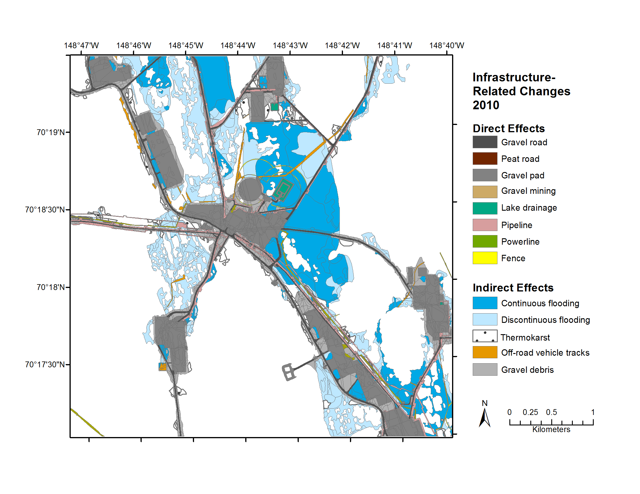
URL: https://daac.ornl.gov/ABOVE/guides/Prudhoe_Bay_Veg_Maps_Figure1.png
Browse Image
Source: Geobotanical and Impact Map Collection for Prudhoe Bay Oilfield, Alaska, 1972-2010
About this Resource
| Last updated | unknown |
|---|---|
| Created | unknown |
| Name | Get a related visualization |
| Format | PNG Image File |
| License | License not specified |
| Created | 3 months ago |
| Media type | image/png |
| has views | True |
| id | 5a1c3caa-01dc-485d-8a21-f92ce52f3bb6 |
| metadata modified | 3 months ago |
| package id | 54f31c7f-ba87-4929-b763-5a13e06c56b8 |
| position | 11 |
| state | active |
| tracking summary | {'total': 0, 'recent': 0} |