

ESMR/Nimbus-6 Images of Brightness Temperature on 70 mm Film V001 (ESMRN6IM) at GES DISC
Access & Use Information
Public: This dataset is intended for public access and use.
Non-Federal: This dataset is covered by different Terms of Use than Data.gov.
License: No license information was provided.
Downloads & Resources
-
Google Scholar search resultsHTML
Search results for publications that cite this dataset by its DOI.
-
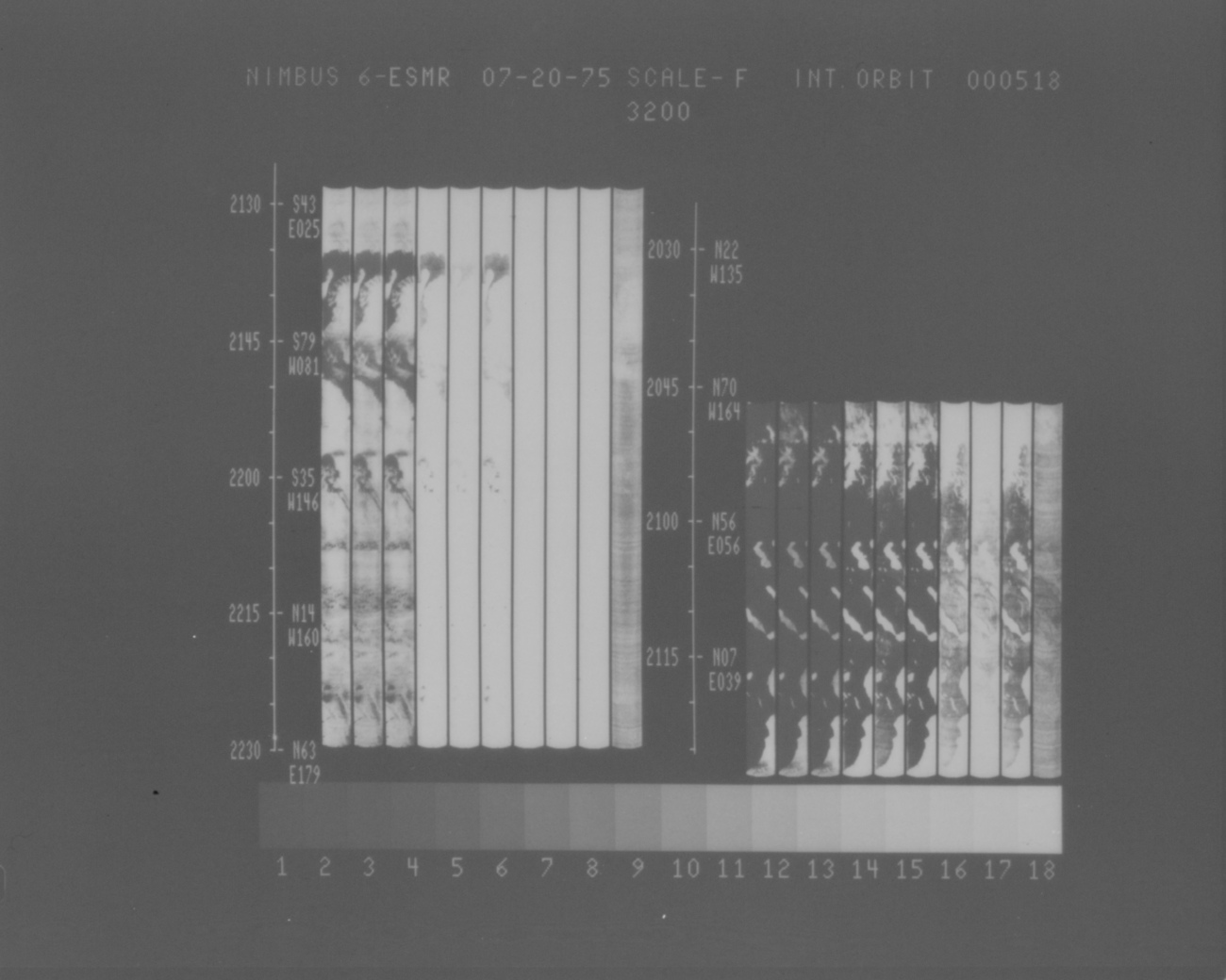
Get a related visualizationPNG
ESMRN6IM_001.png
-
This dataset's landing pageHTML
Access the dataset landing page from the GES DISC website.
-
Download this dataset through a directory mapHTML
Access the data via HTTPS.
-
Download this dataset through Earthdata SearchHTML
Use the Earthdata Search to find and retrieve data sets across multiple data...
-
View this dataset's read me documentPDF
README Document
-
View this dataset's user's guidePDF
Nimbus 6 User's Guide
-
View documentation related to this datasetGZ
Nimbus 6 Data Catalog
-
Landing PageLanding Page
Dates
| Metadata Created Date | February 22, 2025 |
|---|---|
| Metadata Updated Date | February 22, 2025 |
Metadata Source
- Data.json Data.json Metadata
Harvested from nasa test json
Additional Metadata
| Resource Type | Dataset |
|---|---|
| Metadata Created Date | February 22, 2025 |
| Metadata Updated Date | February 22, 2025 |
| Publisher | NASA/GSFC/SED/ESD/GCDC/GESDISC |
| Maintainer | |
| Identifier | C2339155095-GES_DISC |
| Data First Published | 2022-03-30 |
| Language | en-US |
| Data Last Modified | 2025-02-19 |
| Category | Nimbus, geospatial |
| Public Access Level | public |
| Bureau Code | 026:00 |
| Metadata Context | https://project-open-data.cio.gov/v1.1/schema/catalog.jsonld |
| Schema Version | https://project-open-data.cio.gov/v1.1/schema |
| Catalog Describedby | https://project-open-data.cio.gov/v1.1/schema/catalog.json |
| Harvest Object Id | ad831c5b-d018-49b0-ac1c-b423a4253d34 |
| Harvest Source Id | a73e0c30-4684-40ef-908e-d22e9e9e5f86 |
| Harvest Source Title | nasa test json |
| Homepage URL | https://doi.org/10.5067/LUUX0GAITKXJ |
| Metadata Type | geospatial |
| Old Spatial | -180.0 -90.0 180.0 90.0 |
| Program Code | 026:001 |
| Source Datajson Identifier | True |
| Source Hash | 39665cb6399cc69609f561c627439a20a152c27ba1dff85d230f9a4d0d6a368d |
| Source Schema Version | 1.1 |
| Spatial | |
| Temporal | 1975-06-22T00:00:00Z/1977-08-11T23:59:59.999Z |
Didn't find what you're looking for? Suggest a dataset here.