

COWVR STP-H8 Surface Wind Vector and Column-Integrated Atmospheric Water Measurements Version 10.0
Access & Use Information
Downloads & Resources
-
Google Scholar search resultsHTML
Search results for publications that cite this dataset by its DOI.
-
Download this dataset through Earthdata SearchHTML
Browse granule search results in Earthdata Search
-
Download this dataset through a directory mapHTML
HTTPS endpoint for data browse and download
-
The dataset's project home pageHTML
COWVR-TEMPEST project page at PO.DAAC
-
View documentation related to this datasetPDF
Data Product Development Document. Supplement to the User Guide, it provides...
-
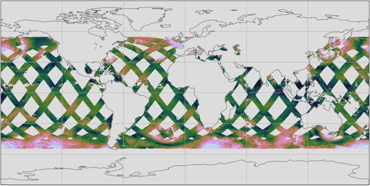
Get a related visualizationJPEG
Thumbnail
-
View this dataset's user's guidePDF
Level 2 EDR quick start with an overview of the project, instrument, EDR data...
-
View documentation related to this datasetHTML
COWVR-TEMPEST project page at PO.DAAC
-
View this dataset's data citation policyHTML
Data Use and Citation Policy
-
View this dataset's algorithm theoretical...PDF
Detailed description of algorithms for processing and calibration of COWVR
-
Landing PageLanding Page
Dates
| Metadata Created Date | February 21, 2025 |
|---|---|
| Metadata Updated Date | February 21, 2025 |
Metadata Source
- Data.json Data.json Metadata
Harvested from nasa test json
Additional Metadata
| Resource Type | Dataset |
|---|---|
| Metadata Created Date | February 21, 2025 |
| Metadata Updated Date | February 21, 2025 |
| Publisher | NASA/JPL/PODAAC |
| Maintainer | |
| Identifier | C3237678855-POCLOUD |
| Data First Published | 2022-01-08 |
| Language | en-US |
| Data Last Modified | 2025-02-19 |
| Category | COWVR-TEMPEST/STP-H8, geospatial |
| Public Access Level | public |
| Bureau Code | 026:00 |
| Metadata Context | https://project-open-data.cio.gov/v1.1/schema/catalog.jsonld |
| Schema Version | https://project-open-data.cio.gov/v1.1/schema |
| Catalog Describedby | https://project-open-data.cio.gov/v1.1/schema/catalog.json |
| Harvest Object Id | 177540b6-ee06-4610-b2a4-e00074d69e92 |
| Harvest Source Id | a73e0c30-4684-40ef-908e-d22e9e9e5f86 |
| Harvest Source Title | nasa test json |
| Homepage URL | https://doi.org/10.5067/COWVR-STPH8-EDR100 |
| Metadata Type | geospatial |
| Old Spatial | -180.0 -61.0 180.0 61.0 |
| Program Code | 026:001 |
| Source Datajson Identifier | True |
| Source Hash | 0e8c19df8758bbaaa83eb1b79d3e12cf8ab5e4791c9d44261938c6d2b8ae6070 |
| Source Schema Version | 1.1 |
| Spatial | |
| Temporal | 2022-01-08T00:00:00Z/2024-12-23T00:00:00Z |
Didn't find what you're looking for? Suggest a dataset here.