

CAMEX-4 LIDAR ATMOSPHERIC SENSING EXPERIMENT (LASE) V1
Access & Use Information
Downloads & Resources
-
Google Scholar search resultsHTML
Search results for publications that cite this dataset by its DOI.
-
Download this datasetHTML
Files may be downloaded directly to your workstation from this link
-
Get a related visualizationGIF
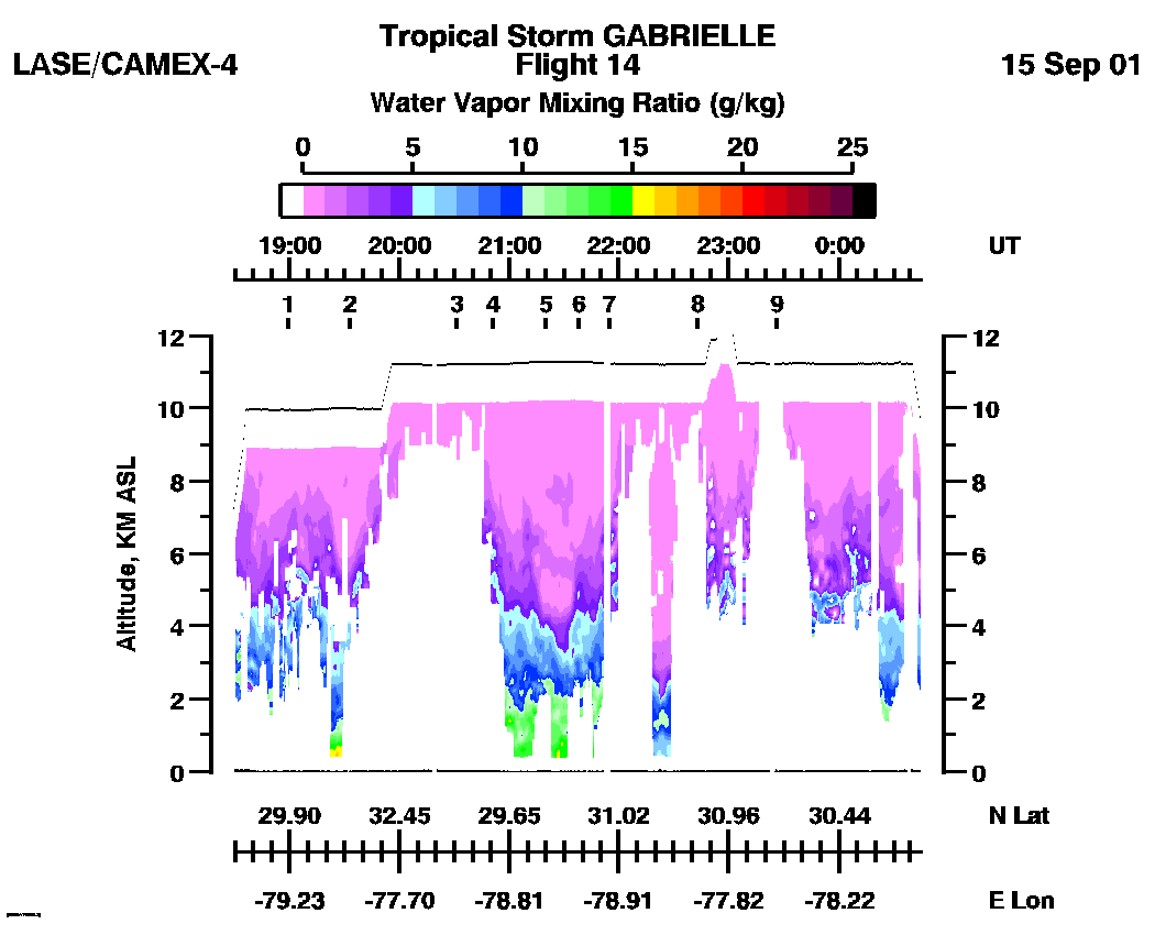
Sample browse image
-
View documentation related to this datasetHTML
The guide document contains detailed information about the dataset
-
View the primary investigator's documentation...HTML
Reader for gaines/hipskind format 2310 for LASE/CAMEX-4 ascii archive files
-
View the primary investigator's documentation...PDF
Format Specification for Data Exchange
-
View the primary investigator's documentation...PDF
LASE Measurements of Water Vapor, Aerosols, and Clouds During the NASA...
-
View the primary investigator's documentation...PDF
LASE Data acquired during CAMEX-4 (The Fourth Convective and Moisture...
-
The dataset's project home pageHTML
The home page for the project or program which sponsored the dataset
-
Get a related visualizationHTML
N/A
-
View documentation related to this datasetHTML
Instructions for citing GHRC data
-
Landing PageLanding Page
Dates
| Metadata Created Date | February 22, 2025 |
|---|---|
| Metadata Updated Date | February 22, 2025 |
Metadata Source
- Data.json Data.json Metadata
Harvested from nasa test json
Additional Metadata
| Resource Type | Dataset |
|---|---|
| Metadata Created Date | February 22, 2025 |
| Metadata Updated Date | February 22, 2025 |
| Publisher | NASA/MSFC/GHRC |
| Maintainer | |
| Identifier | C1979096401-GHRC_DAAC |
| Data First Published | 2002-06-19 |
| Language | en-US |
| Data Last Modified | 2025-02-19 |
| Category | CAMEX-4, geospatial |
| Public Access Level | public |
| Bureau Code | 026:00 |
| Metadata Context | https://project-open-data.cio.gov/v1.1/schema/catalog.jsonld |
| Schema Version | https://project-open-data.cio.gov/v1.1/schema |
| Catalog Describedby | https://project-open-data.cio.gov/v1.1/schema/catalog.json |
| Harvest Object Id | ca20cf11-9a84-498b-b518-49fb69633b26 |
| Harvest Source Id | a73e0c30-4684-40ef-908e-d22e9e9e5f86 |
| Harvest Source Title | nasa test json |
| Homepage URL | https://doi.org/10.5067/CAMEX-4/LIDAR/DATA101 |
| Metadata Type | geospatial |
| Old Spatial | -116.19 16.52 -58.63 39.7 |
| Program Code | 026:001 |
| Source Datajson Identifier | True |
| Source Hash | 6d1232a3430f426715f92c5917df1f073edf0b6dc656d279ba02638a683c581e |
| Source Schema Version | 1.1 |
| Spatial | |
| Temporal | 2001-08-15T16:25:48Z/2001-09-25T02:34:07Z |
Didn't find what you're looking for? Suggest a dataset here.