

ATom: Back Trajectories and Influences of Air Parcels Along Flight Track, 2016-2018
Access & Use Information
Downloads & Resources
-
Google Scholar search resultsHTML
Search results for publications that cite this dataset by its DOI.
-
Download this datasetHTML
This link allows direct data access via Earthdata login
-
View documentation related to this datasetHTML
ORNL DAAC Data Set Documentation
-
This dataset's landing pageHTML
Data set Landing Page DOI URL
-
Use OPeNDAP to access the dataset's dataHTML
USE SERVICE API
-
View documentation related to this datasetPDF
ATom: Back Trajectories and Influences of Air Parcels Along Flight Track,...
-
View documentation related to this datasetCSV
ATom: Back Trajectories and Influences of Air Parcels Along Flight Track,...
-
View documentation related to this datasetCSV
ATom: Back Trajectories and Influences of Air Parcels Along Flight Track,...
-
View documentation related to this datasetCSV
ATom: Back Trajectories and Influences of Air Parcels Along Flight Track,...
-
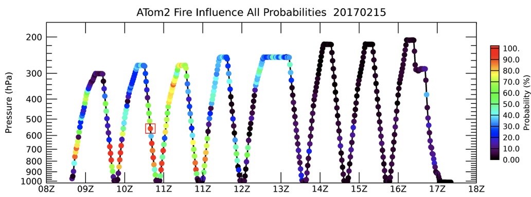
Get a related visualizationJPEG
Fire influences for air parcels on the ATom-2 research flight that occurred...
-
The dataset's project home pageHTML
ATom campaign page
-
Landing PageLanding Page
Dates
| Metadata Created Date | February 22, 2025 |
|---|---|
| Metadata Updated Date | February 22, 2025 |
Metadata Source
- Data.json Data.json Metadata
Harvested from nasa test json
Additional Metadata
| Resource Type | Dataset |
|---|---|
| Metadata Created Date | February 22, 2025 |
| Metadata Updated Date | February 22, 2025 |
| Publisher | ORNL_DAAC |
| Maintainer | |
| Identifier | C2704882261-ORNL_CLOUD |
| Data First Published | 2022-01-26 |
| Language | en-US |
| Data Last Modified | 2025-02-19 |
| Category | ATom, geospatial |
| Public Access Level | public |
| Bureau Code | 026:00 |
| Metadata Context | https://project-open-data.cio.gov/v1.1/schema/catalog.jsonld |
| Schema Version | https://project-open-data.cio.gov/v1.1/schema |
| Catalog Describedby | https://project-open-data.cio.gov/v1.1/schema/catalog.json |
| Harvest Object Id | 916c64d9-694c-4d07-8c9a-aa7bed771a5d |
| Harvest Source Id | a73e0c30-4684-40ef-908e-d22e9e9e5f86 |
| Harvest Source Title | nasa test json |
| Homepage URL | https://doi.org/10.3334/ORNLDAAC/1889 |
| Metadata Type | geospatial |
| Old Spatial | -180.0 -90.0 180.0 90.0 |
| Program Code | 026:001 |
| Source Datajson Identifier | True |
| Source Hash | 80ce84a129cad80e7f1ac409eb44bed1cff79af4869ca22bfa4f4bd459cf87cf |
| Source Schema Version | 1.1 |
| Spatial | |
| Temporal | 2016-07-29T00:00:00Z/2018-05-21T23:59:59Z |
Didn't find what you're looking for? Suggest a dataset here.