

AMSR2/GCOM-W1 downscaled surface soil moisture (LPRM) L2B V001 (LPRM_AMSR2_DS_SOILM2) at GES DISC
Access & Use Information
Public: This dataset is intended for public access and use.
Non-Federal: This dataset is covered by different Terms of Use than Data.gov.
License: No license information was provided.
Downloads & Resources
-
Google Scholar search resultsHTML
Search results for publications that cite this dataset by its DOI.
-
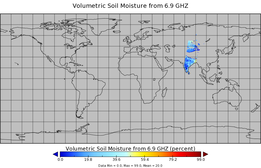
Get a related visualizationPNG
LPRM_AMSR2_DS_SOILM2_001.png
-
This dataset's landing pageHTML
Access the dataset landing page from the GES DISC website.
-
Download this dataset through a directory mapHTML
Access the data via HTTPS.
-
Download this dataset through Earthdata SearchHTML
Use the Earthdata Search to find and retrieve data sets across multiple data...
-
Use OPeNDAP to access the dataset's dataHTML
Access the data via the OPeNDAP protocol.
-
View documentation related to this datasetHTML
GES DISC Hydrology Documentation
-
Landing PageLanding Page
References
| https://doi.org/10.1029/2007JF000769 |
| https://doi.org/10.1007/s10712-008-9044-0 |
| https://doi.org/10.1029/2008JD010257 |
| https://doi.org/10.1109/LGRS.2011.2114872 |
| https://doi.org/10.1175/JHM-D-13-0200.1 |
Dates
| Metadata Created Date | February 22, 2025 |
|---|---|
| Metadata Updated Date | February 22, 2025 |
Metadata Source
- Data.json Data.json Metadata
Harvested from nasa test json
Additional Metadata
| Resource Type | Dataset |
|---|---|
| Metadata Created Date | February 22, 2025 |
| Metadata Updated Date | February 22, 2025 |
| Publisher | NASA/GSFC/SED/ESD/GCDC/GESDISC |
| Maintainer | |
| Identifier | C1235316219-GES_DISC |
| Data First Published | 2014-09-16 |
| Language | en-US |
| Data Last Modified | 2025-02-19 |
| Category | GCOM-W, geospatial |
| Public Access Level | public |
| Bureau Code | 026:00 |
| Metadata Context | https://project-open-data.cio.gov/v1.1/schema/catalog.jsonld |
| Schema Version | https://project-open-data.cio.gov/v1.1/schema |
| Catalog Describedby | https://project-open-data.cio.gov/v1.1/schema/catalog.json |
| Harvest Object Id | ff6f309e-5331-471c-9721-b41619544d0e |
| Harvest Source Id | a73e0c30-4684-40ef-908e-d22e9e9e5f86 |
| Harvest Source Title | nasa test json |
| Homepage URL | https://doi.org/10.5067/KZ9OOIENUO0C |
| Metadata Type | geospatial |
| Old Spatial | -180.0 -90.0 180.0 90.0 |
| Program Code | 026:001 |
| Related Documents | https://doi.org/10.1029/2007JF000769, https://doi.org/10.1007/s10712-008-9044-0, https://doi.org/10.1029/2008JD010257, https://doi.org/10.1109/LGRS.2011.2114872, https://doi.org/10.1175/JHM-D-13-0200.1 |
| Source Datajson Identifier | True |
| Source Hash | 45e25f36c9f0261a70fcfe9c39df28b47d668b728e28d38ea6e992e4ff0f751d |
| Source Schema Version | 1.1 |
| Spatial | |
| Temporal | 2012-07-02T23:18:38Z/2022-01-17T00:00:00Z |
Didn't find what you're looking for? Suggest a dataset here.