

Get a related visualization
URL: https://daac.ornl.gov/ACTAMERICA/guides/ACTAMERICA_MFLL_L1_Fig1.png
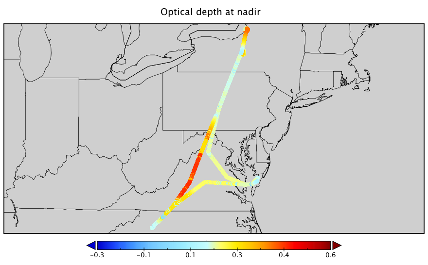
Optical depth (at nadir) measured during the flight on May 11 during the Spring 2018 campaign.
Source: ACT-America: L1 DAOD Measurements by Airborne CO2 Lidar, Eastern USA
About this Resource
| Last updated | unknown |
|---|---|
| Created | unknown |
| Name | Get a related visualization |
| Format | PNG Image File |
| License | License not specified |
| Created | 3 months ago |
| Media type | image/png |
| has views | True |
| id | 4cd7ffd1-15a8-4e27-bf39-d7bc59849f70 |
| metadata modified | 3 months ago |
| package id | 86dd1a37-f7bc-47fa-977b-3b8fa2ee75e6 |
| position | 6 |
| state | active |
| tracking summary | {'total': 0, 'recent': 0} |