

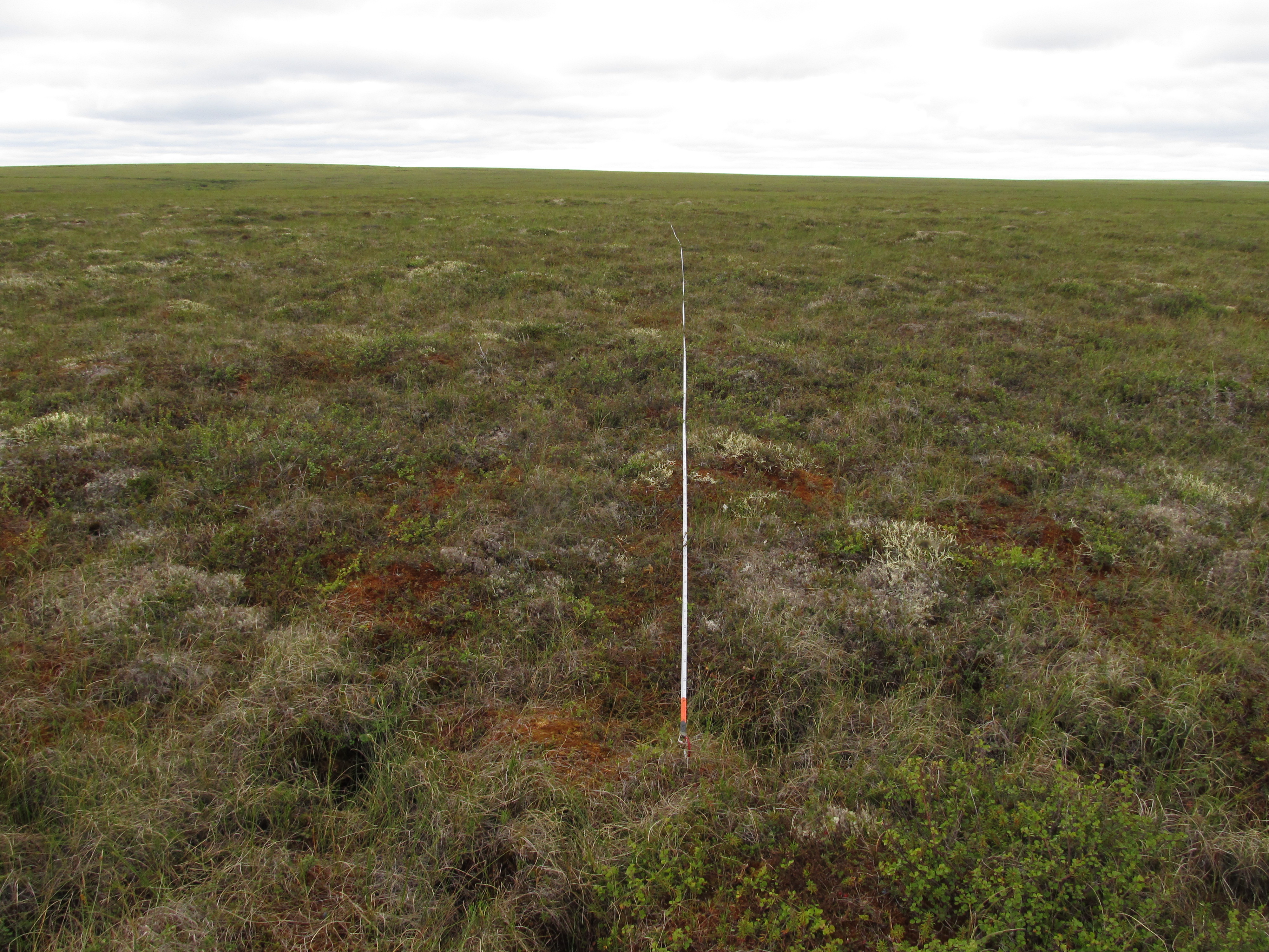
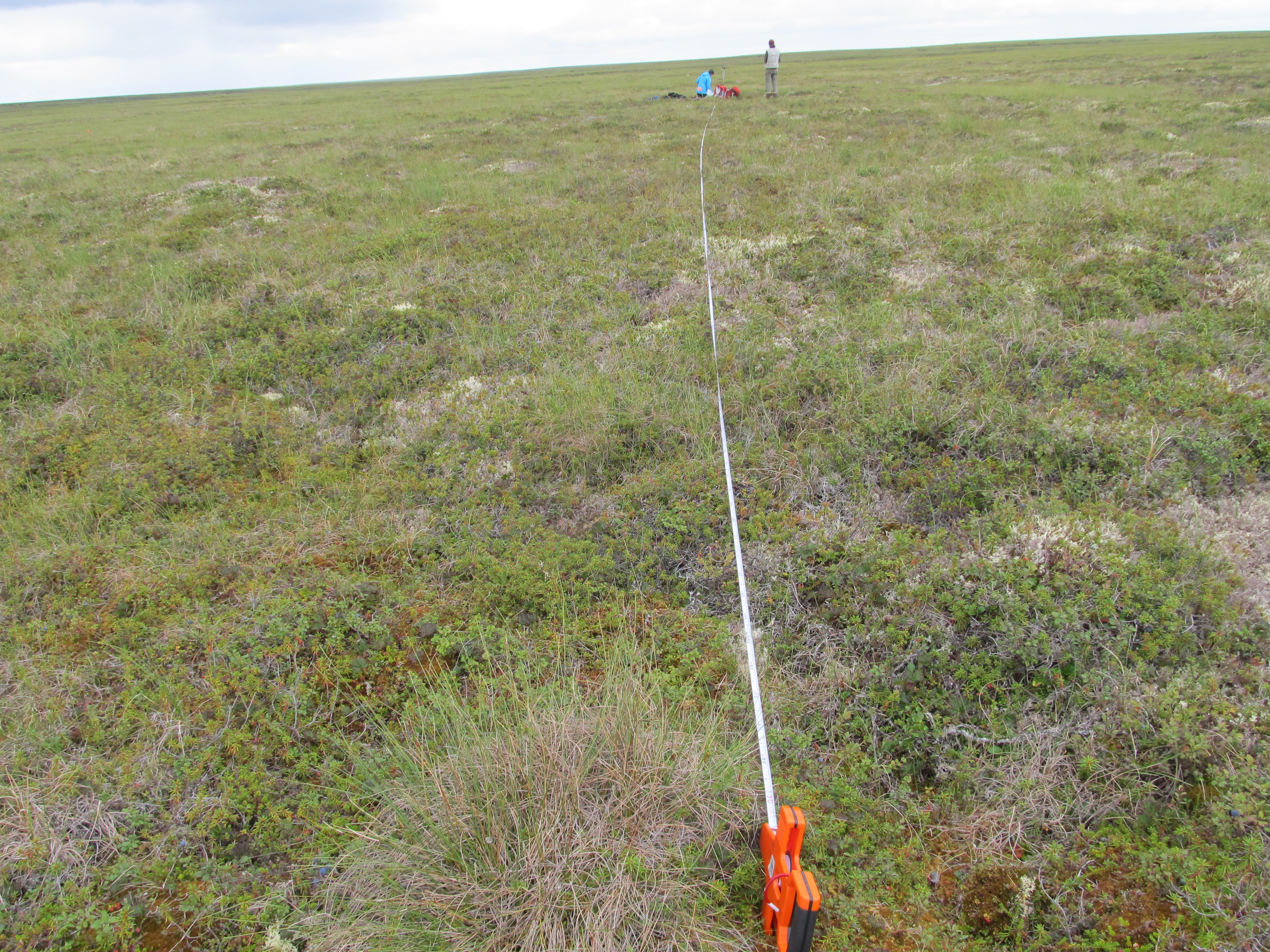
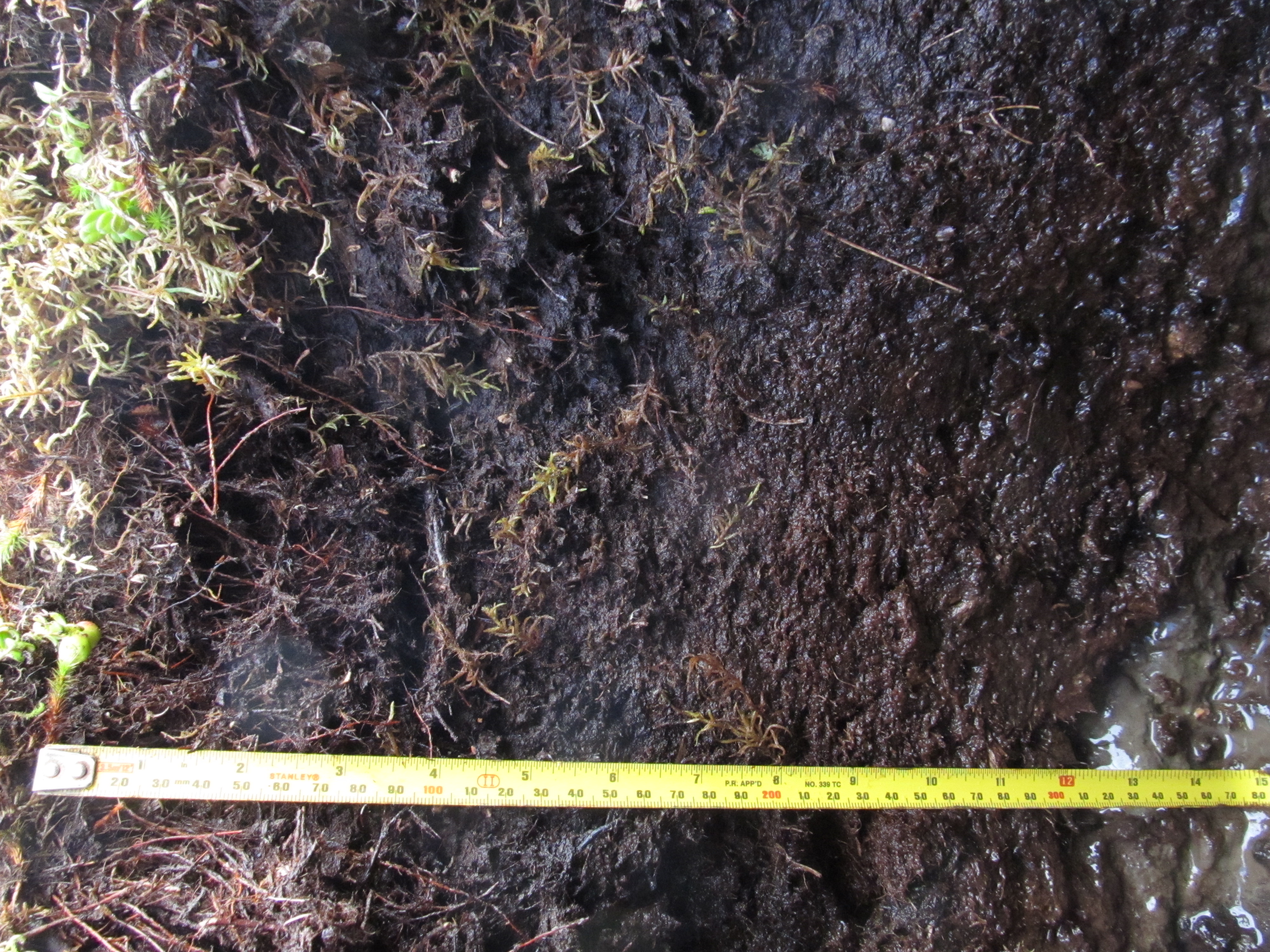
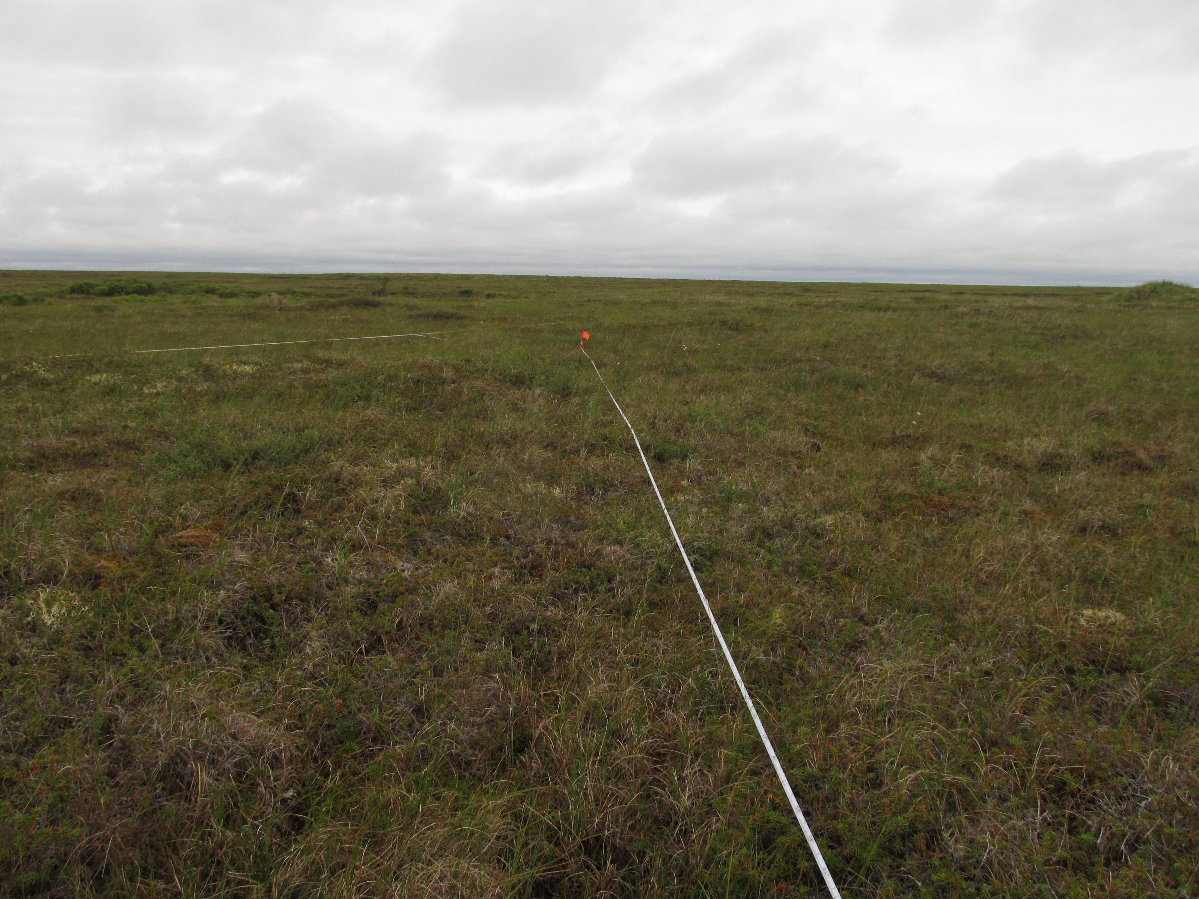
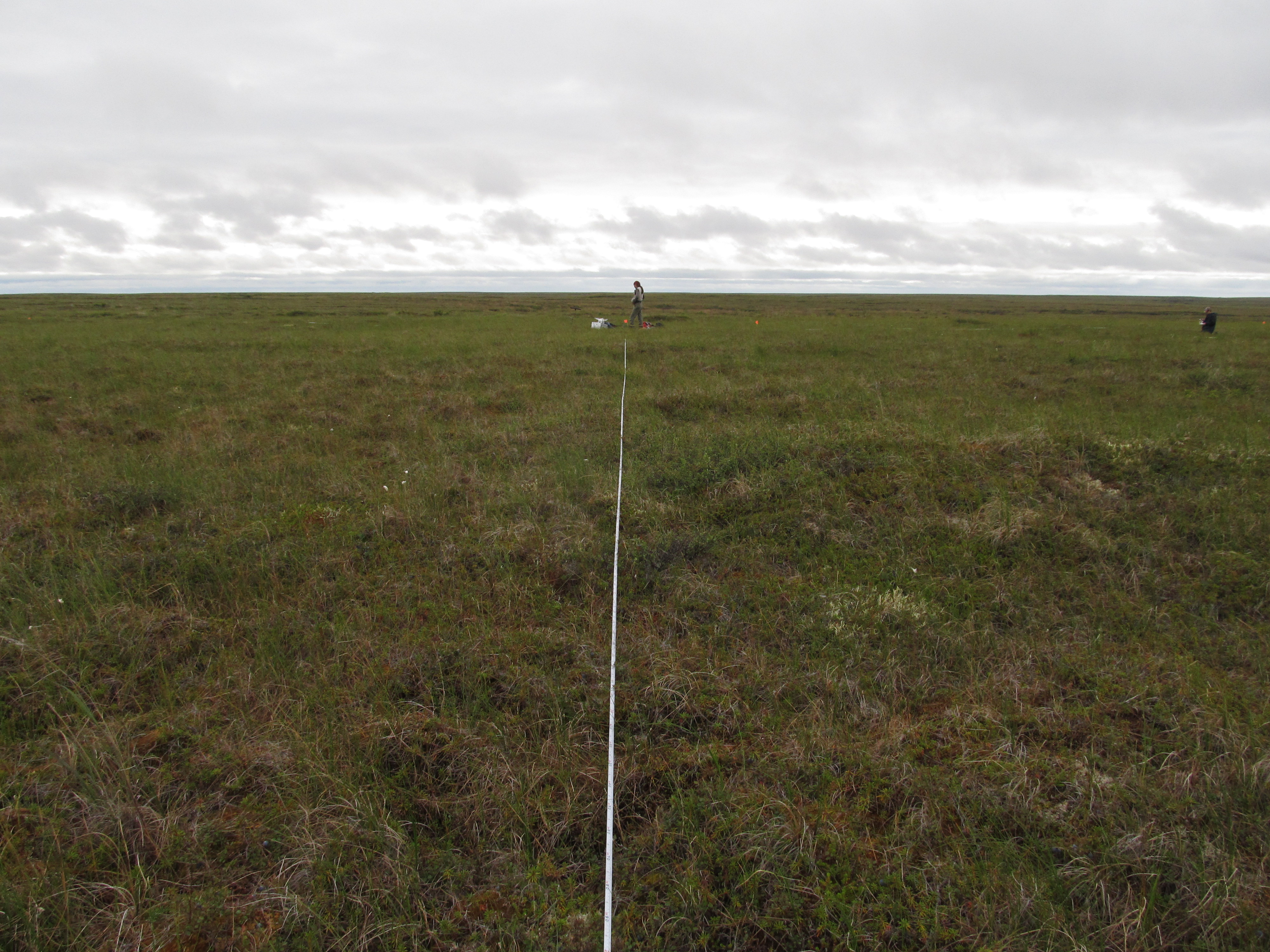
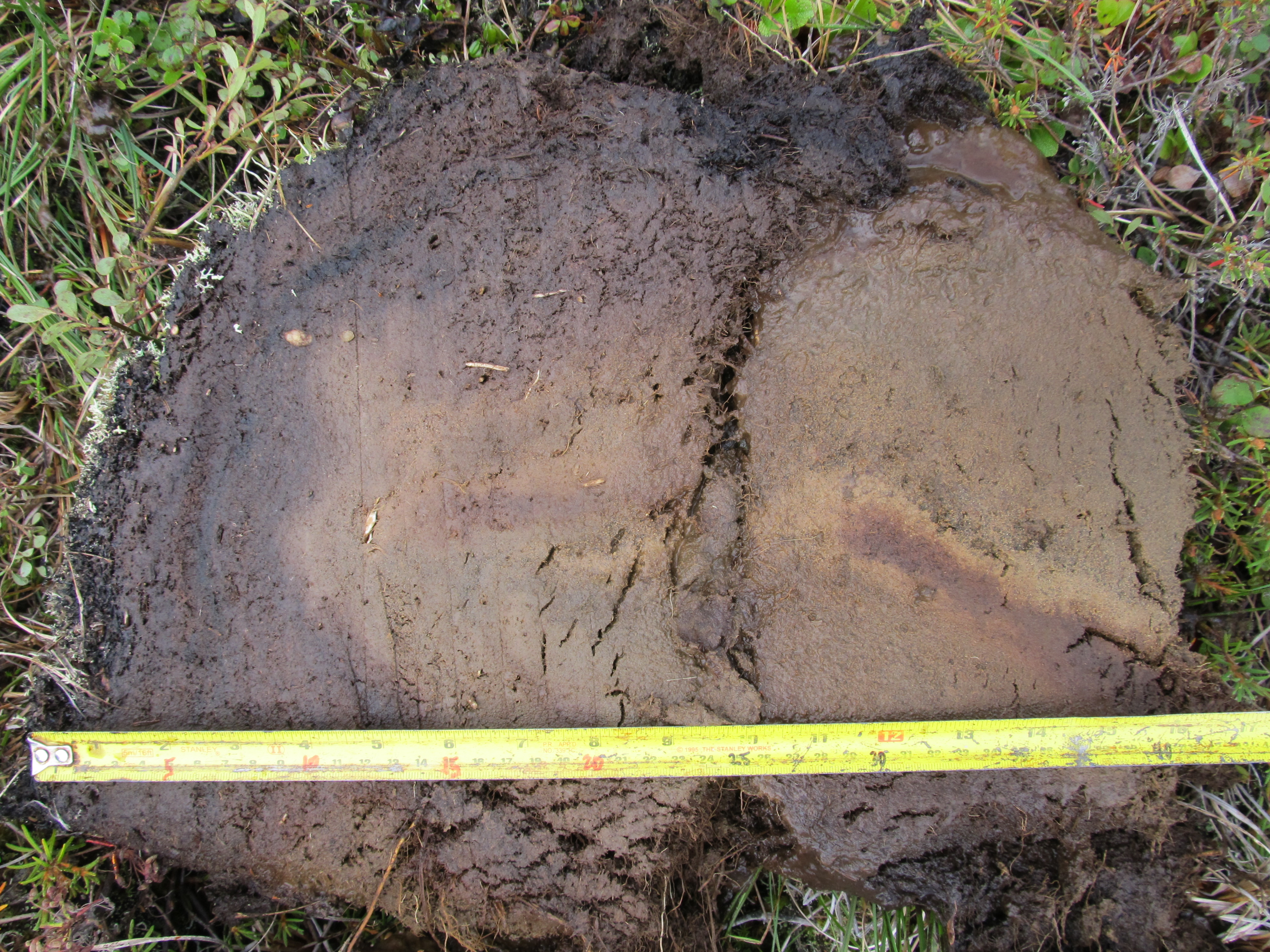
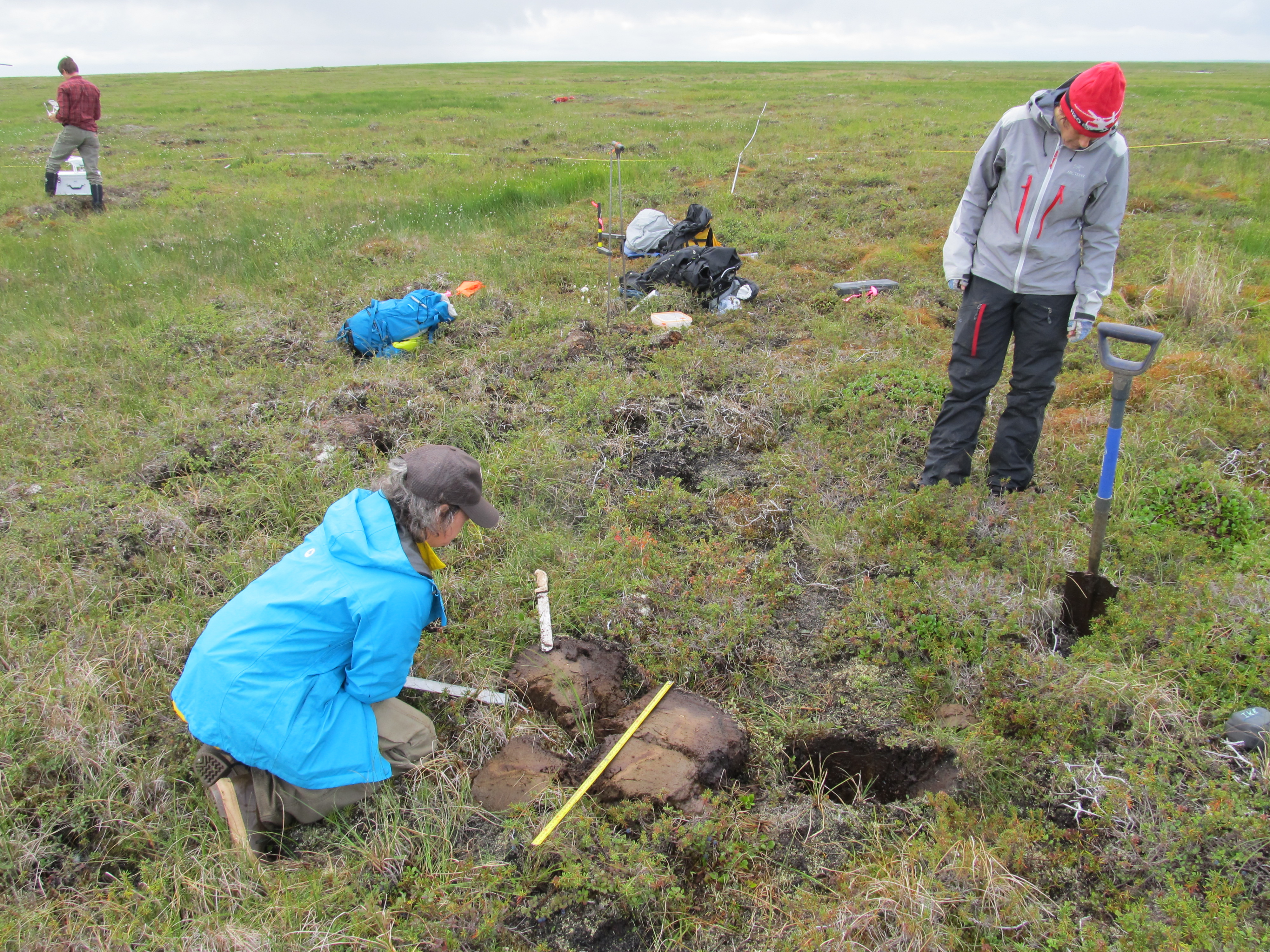
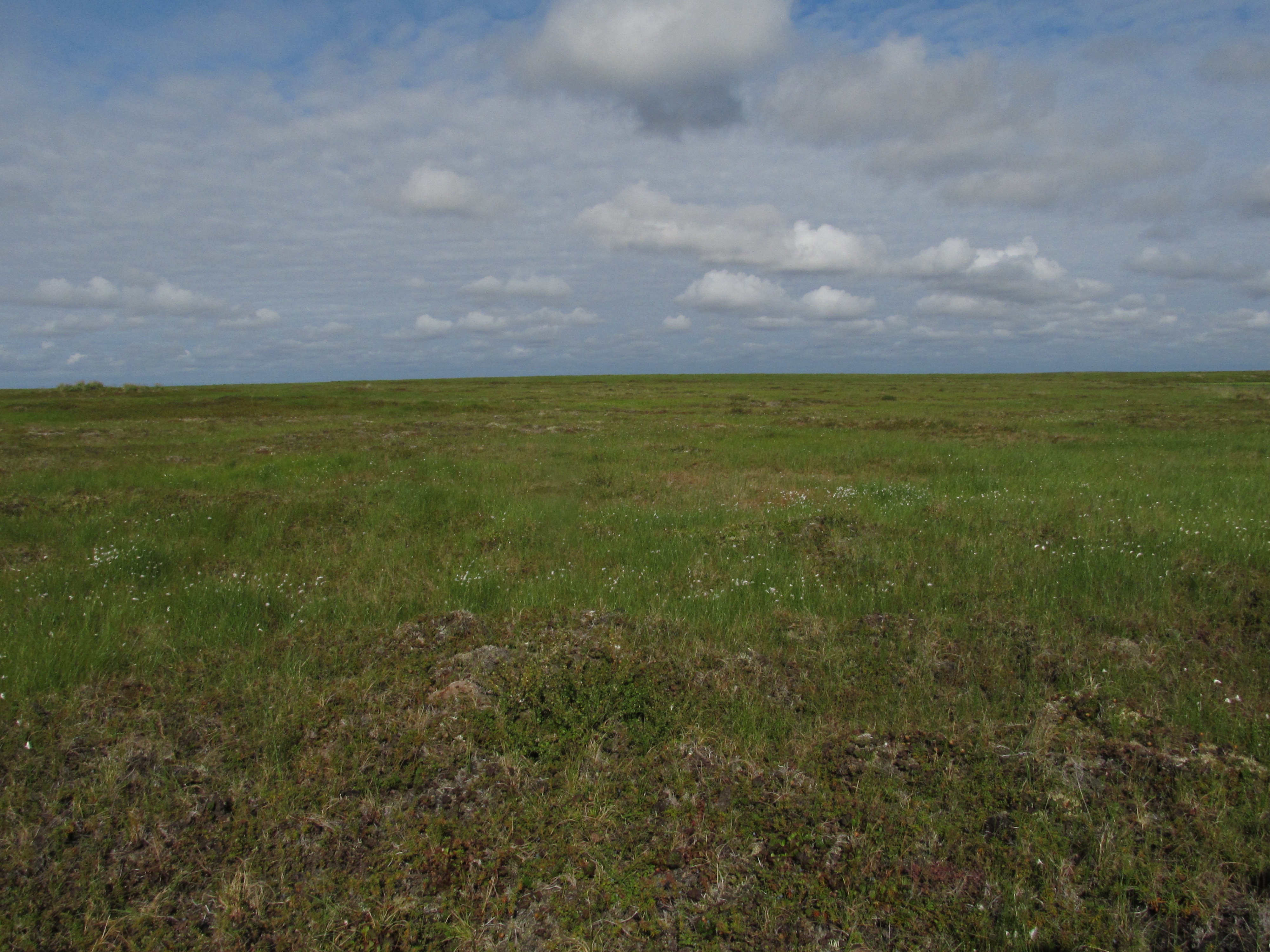
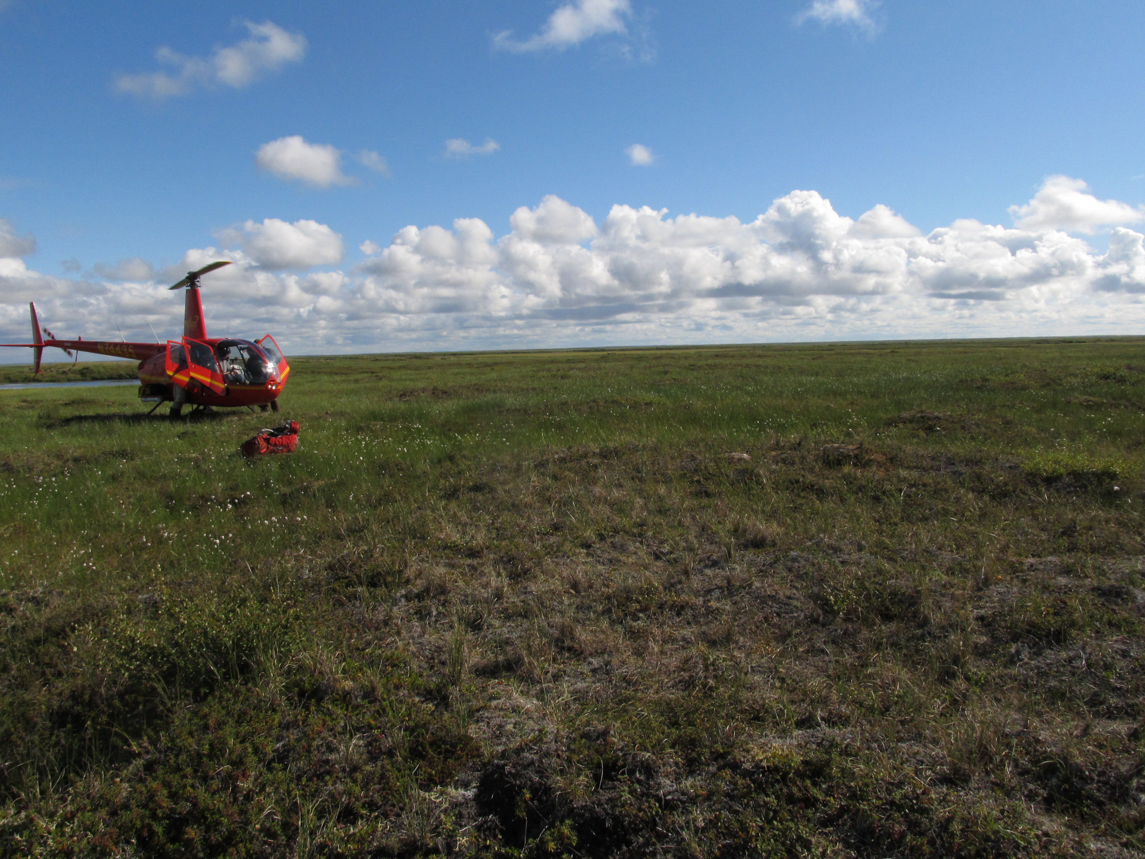
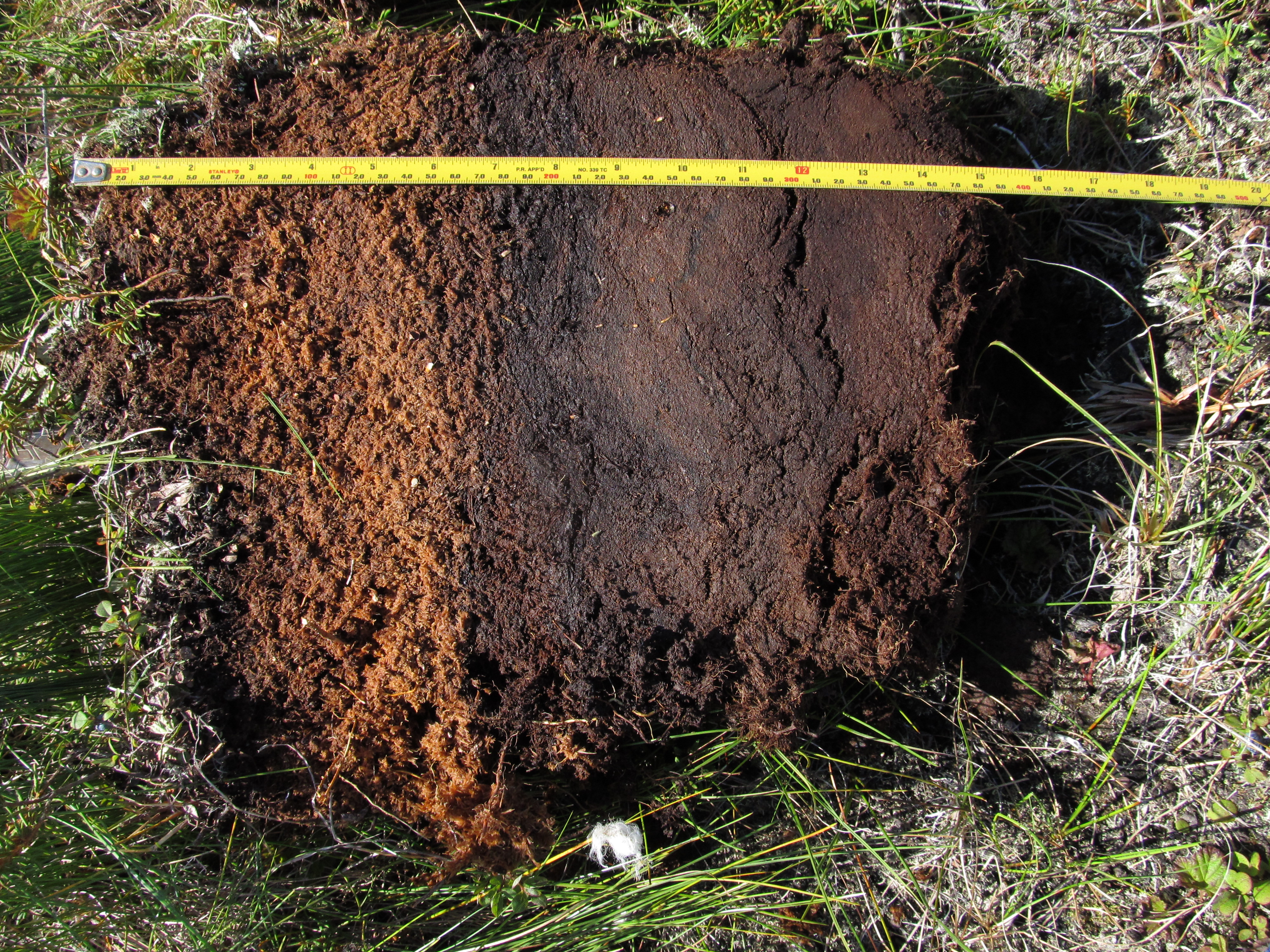
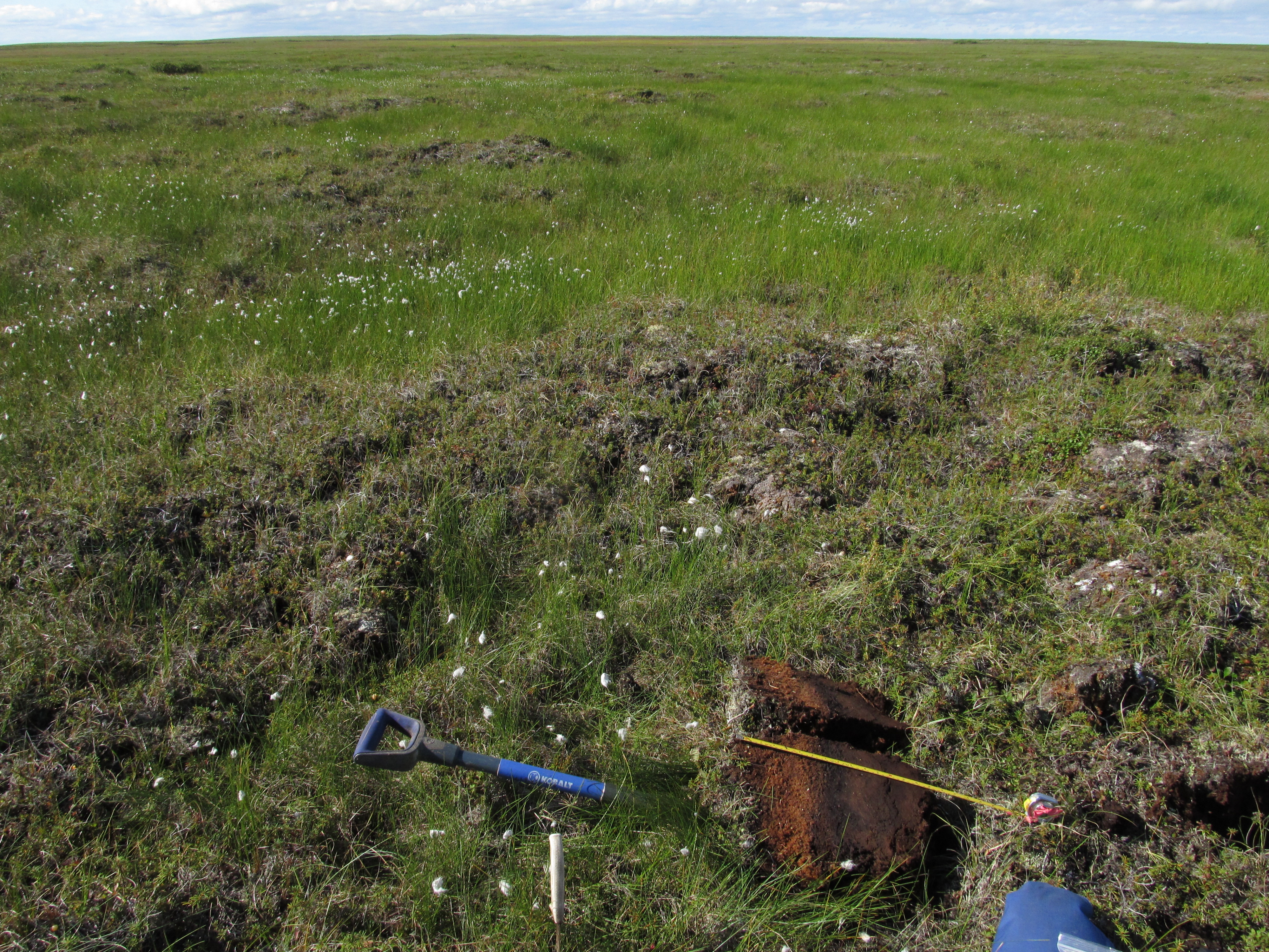
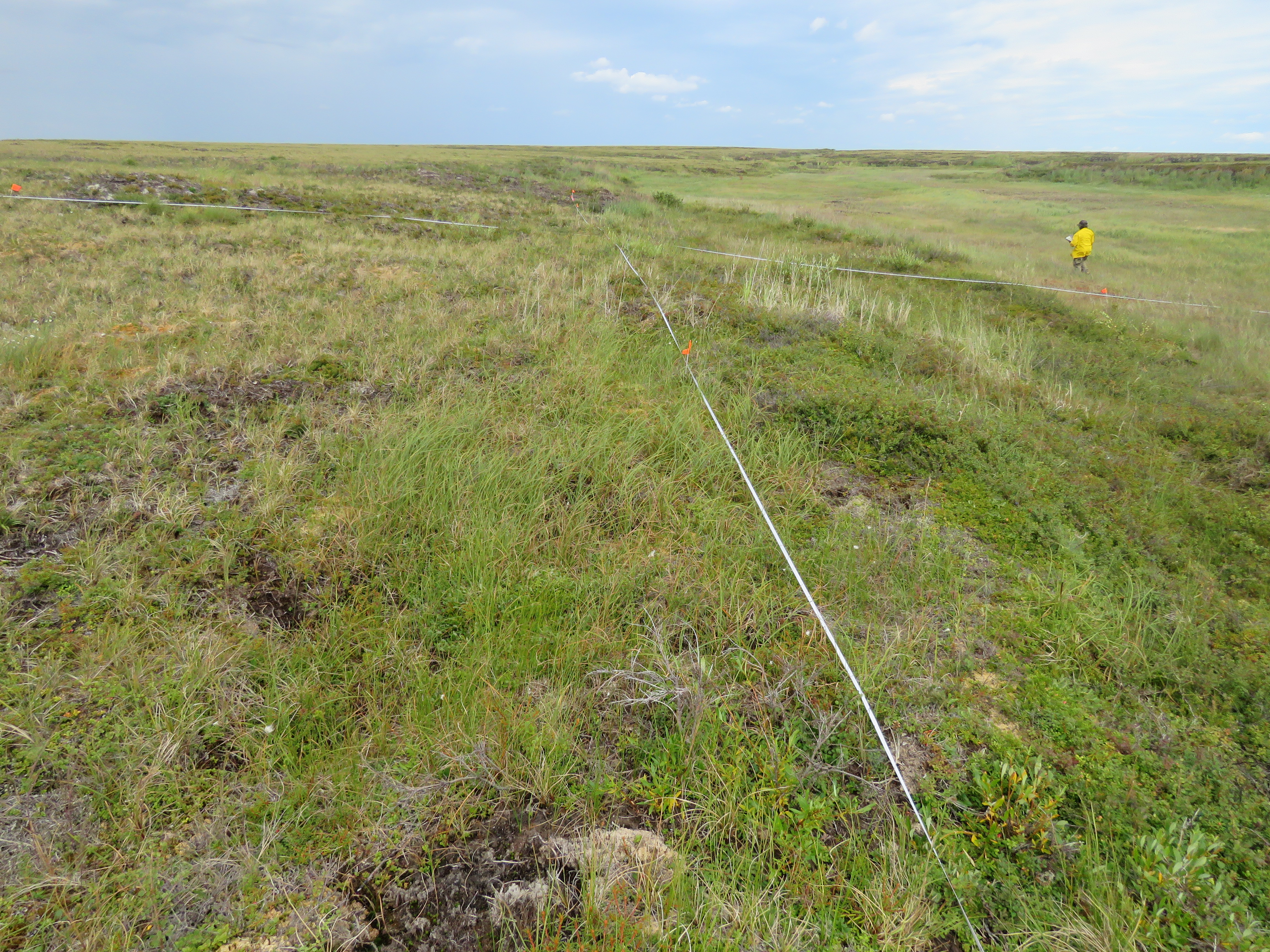
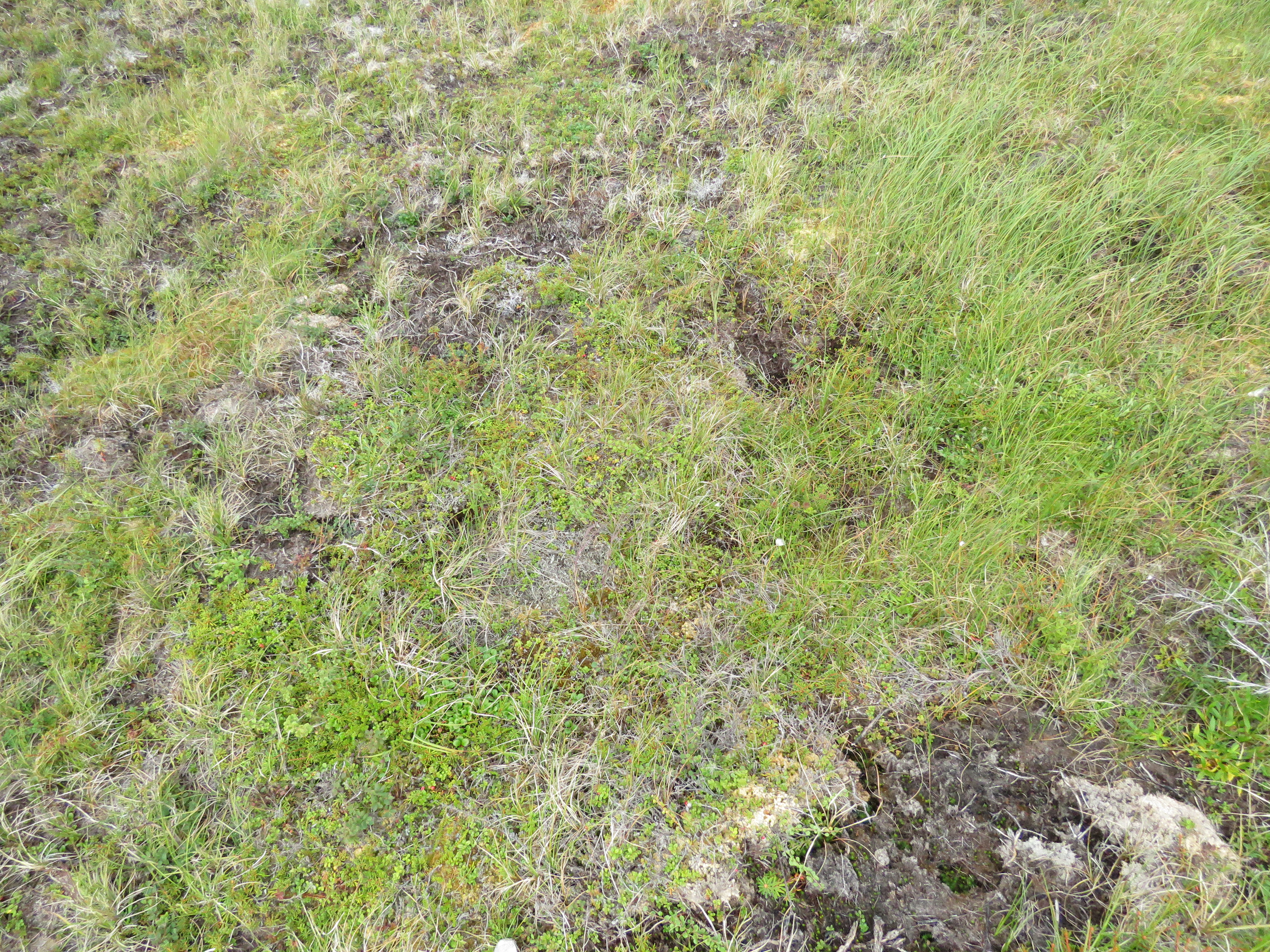
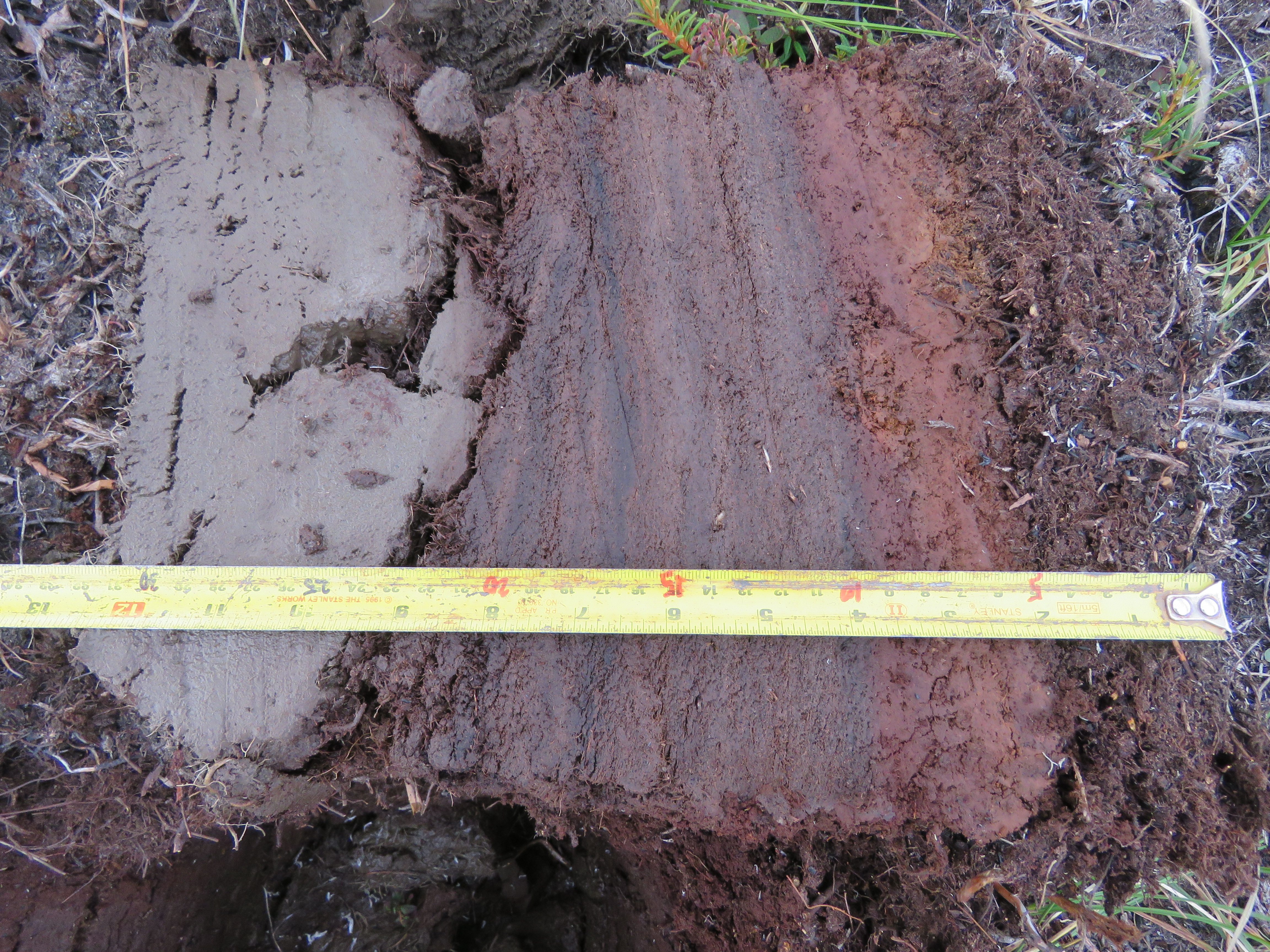
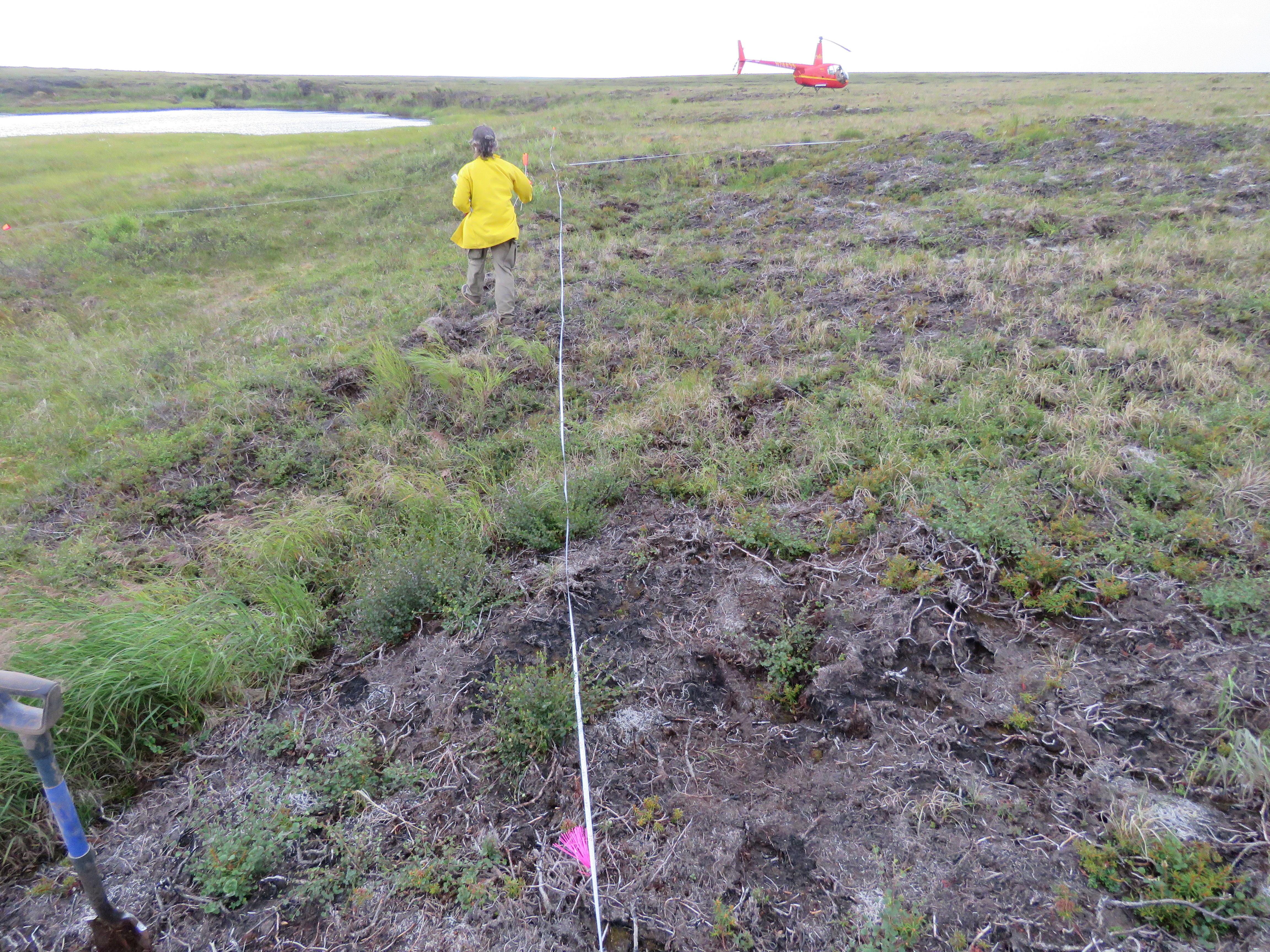
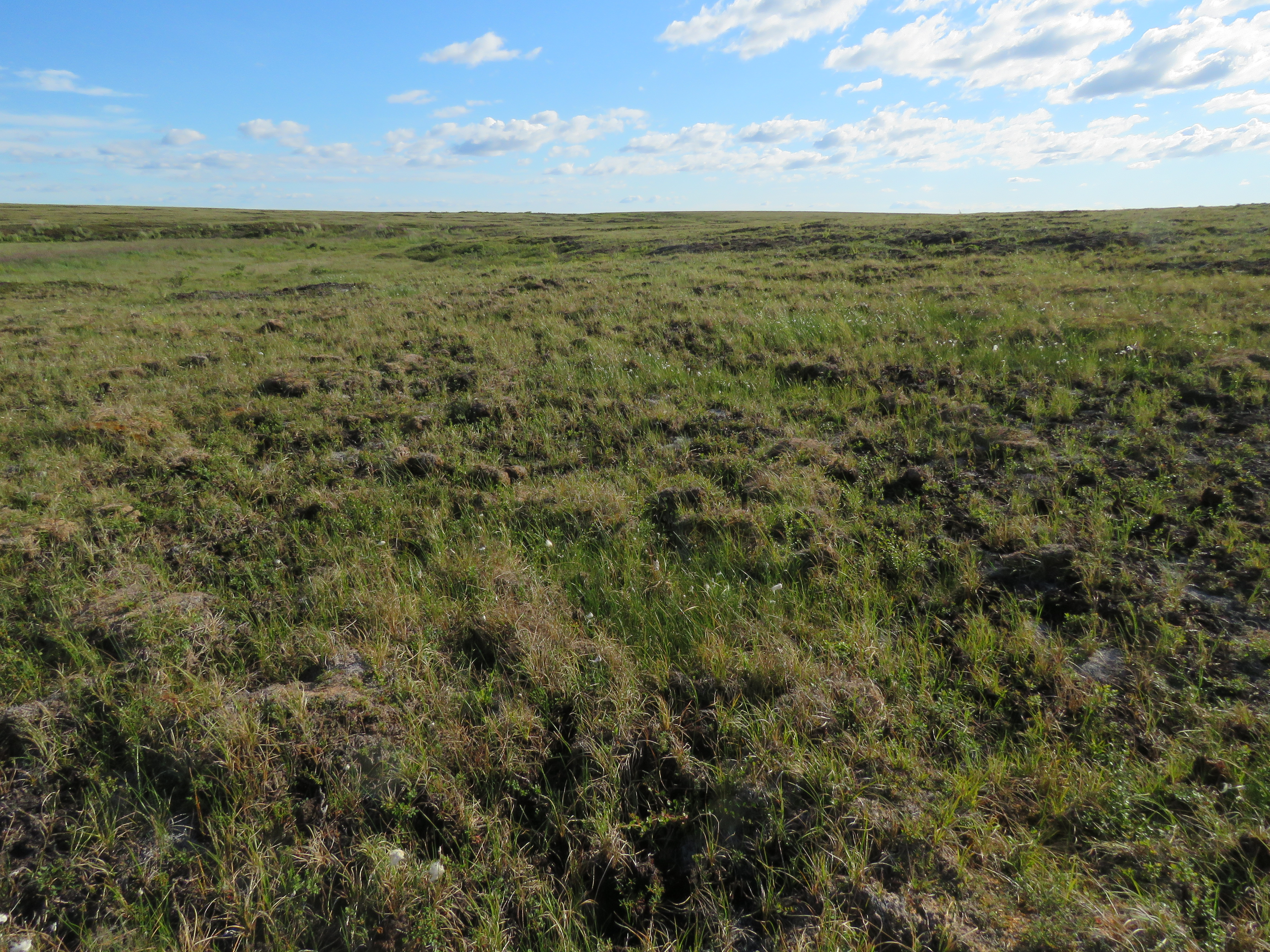
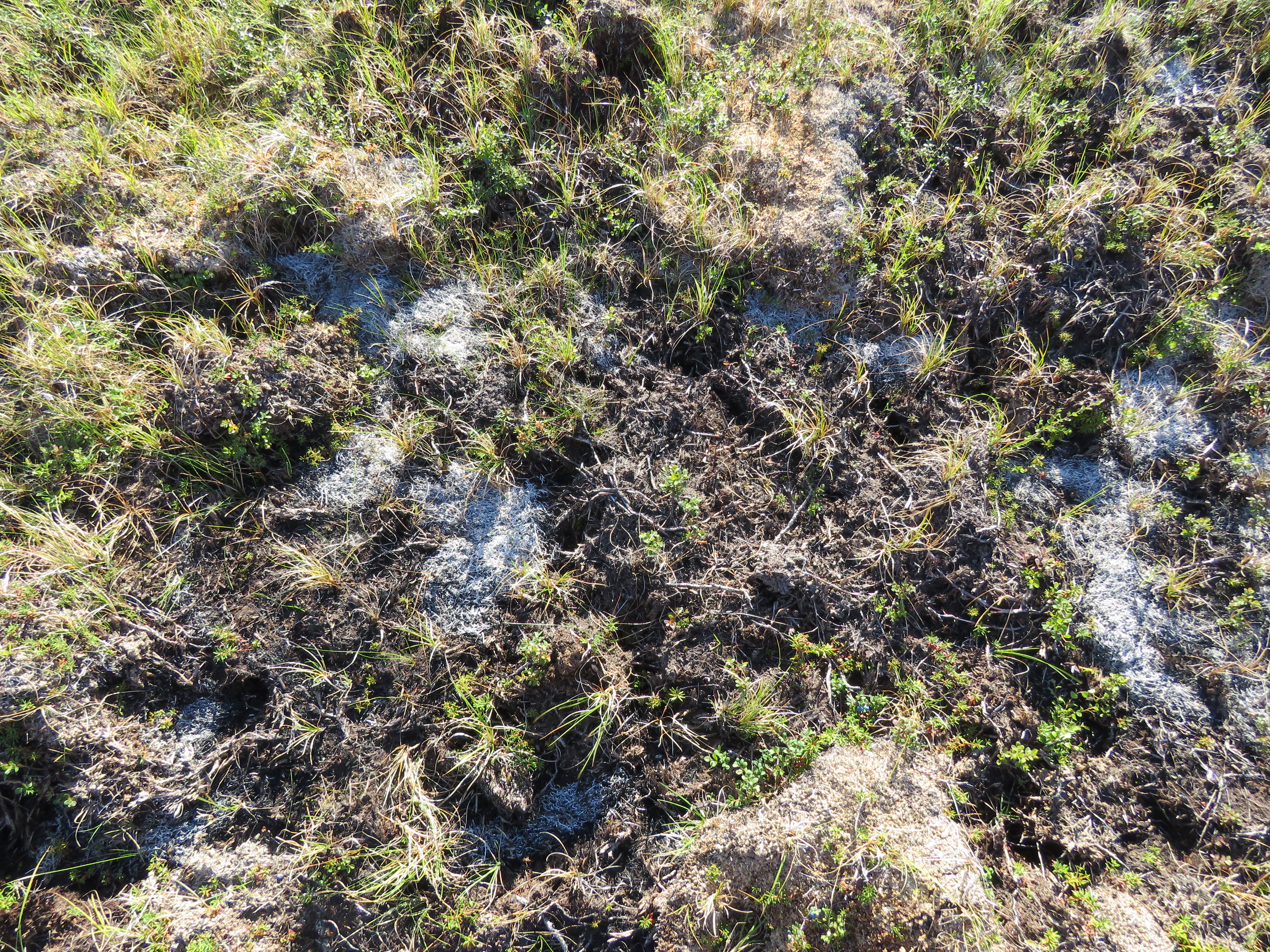
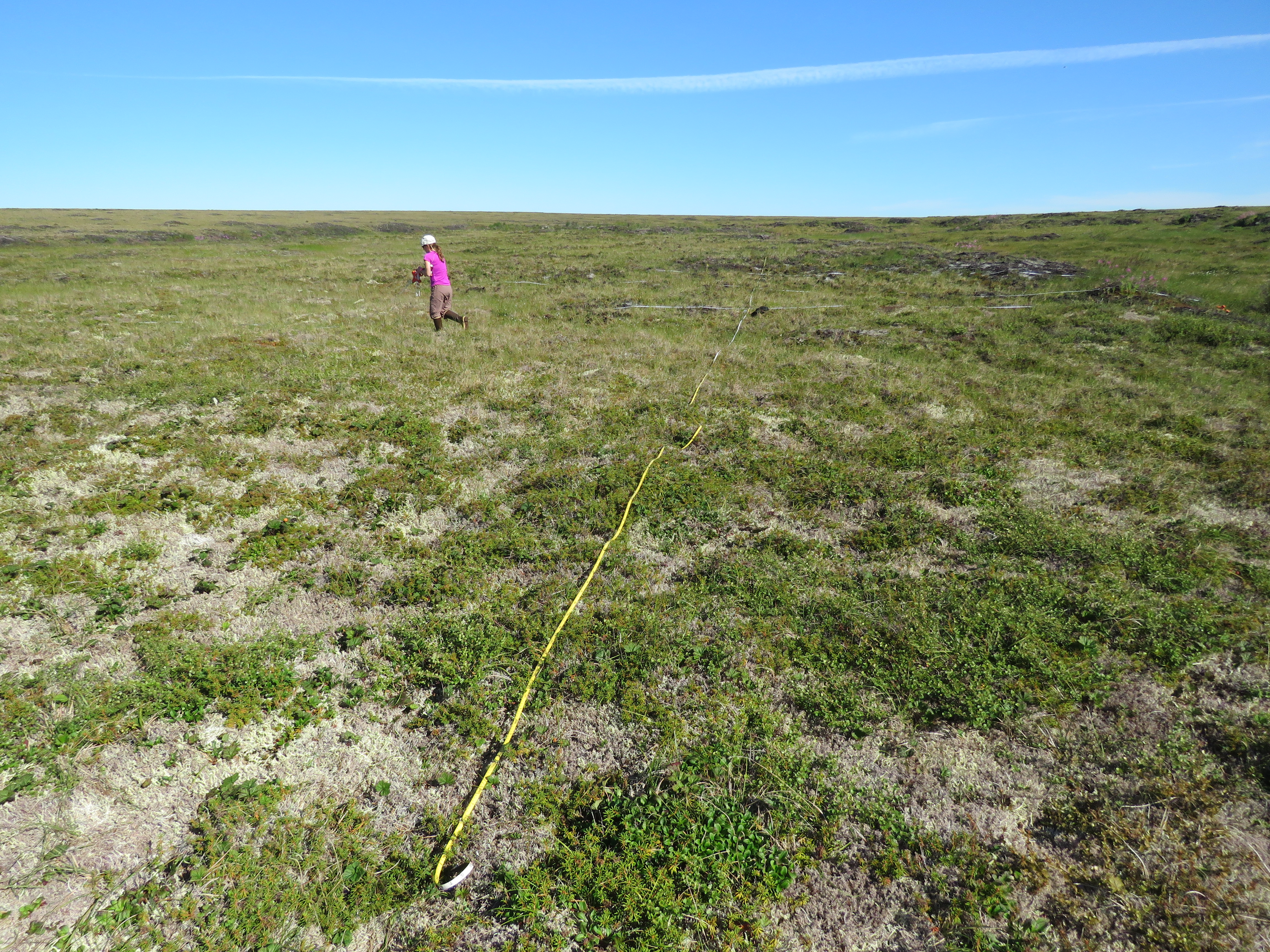
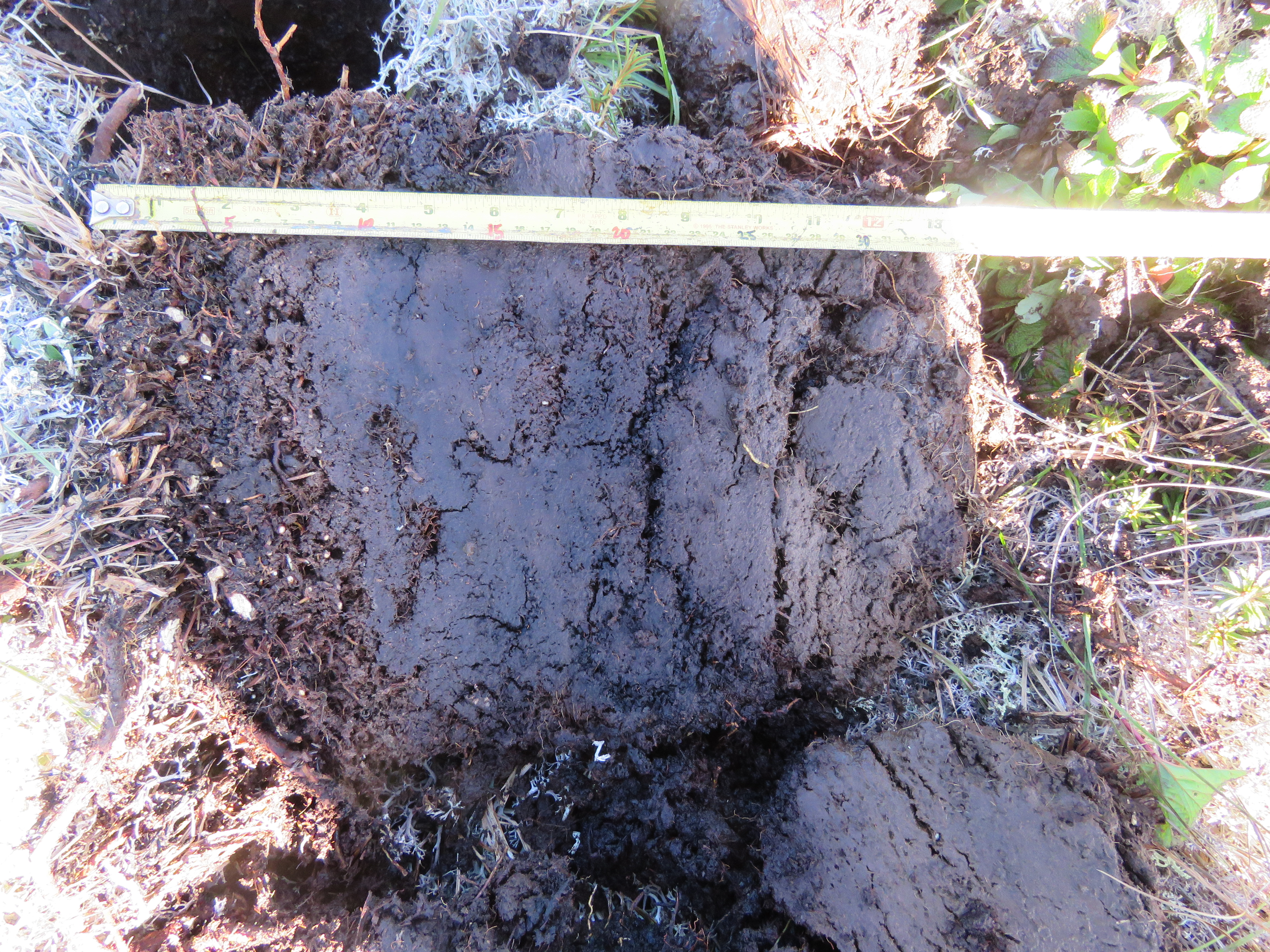
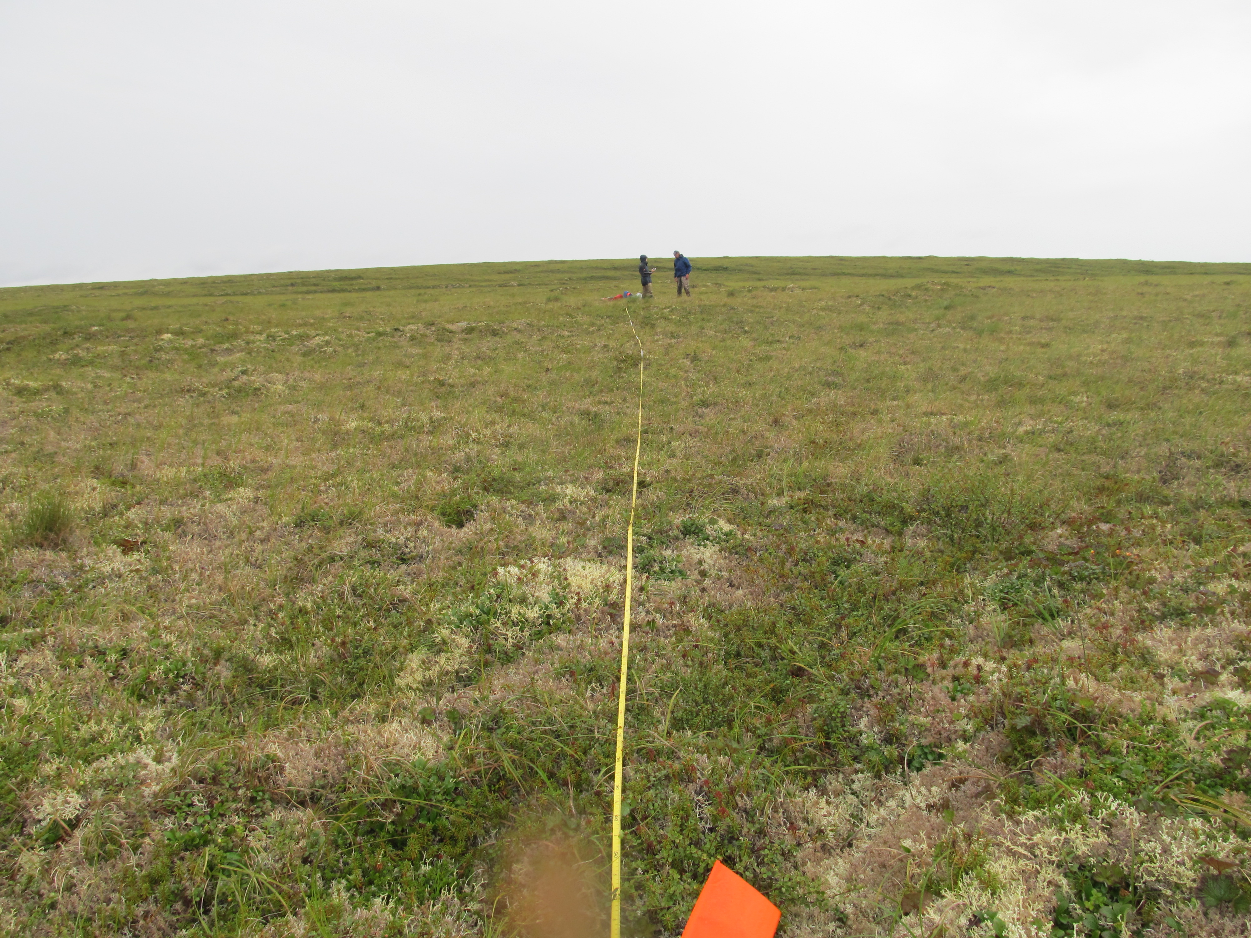
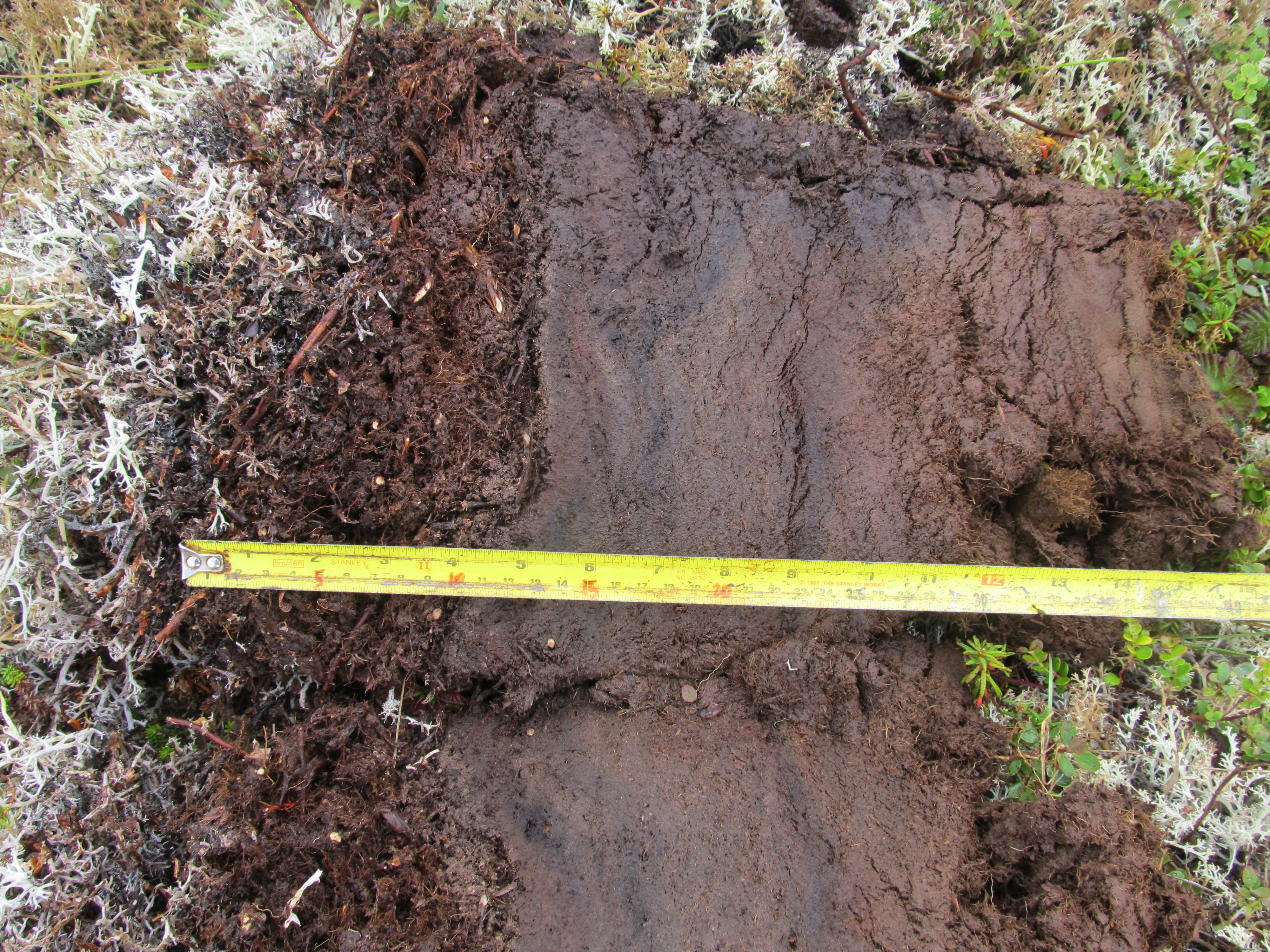
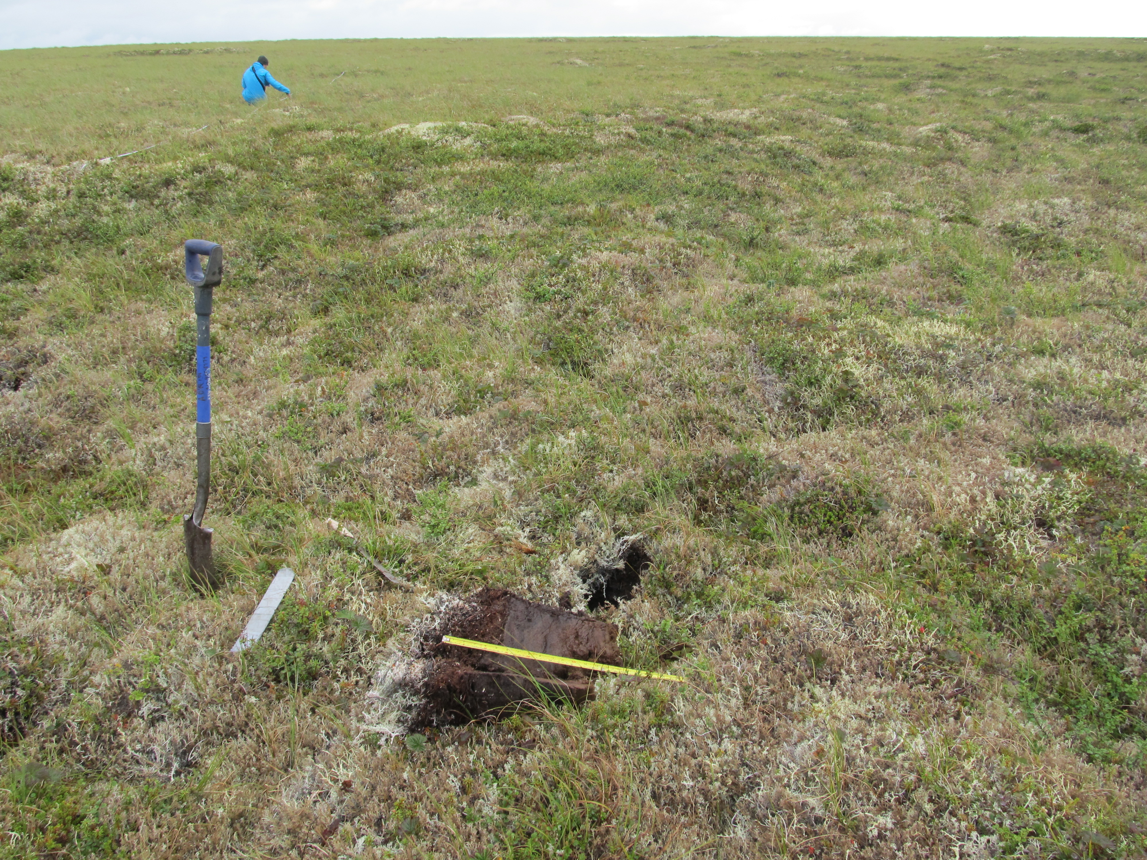
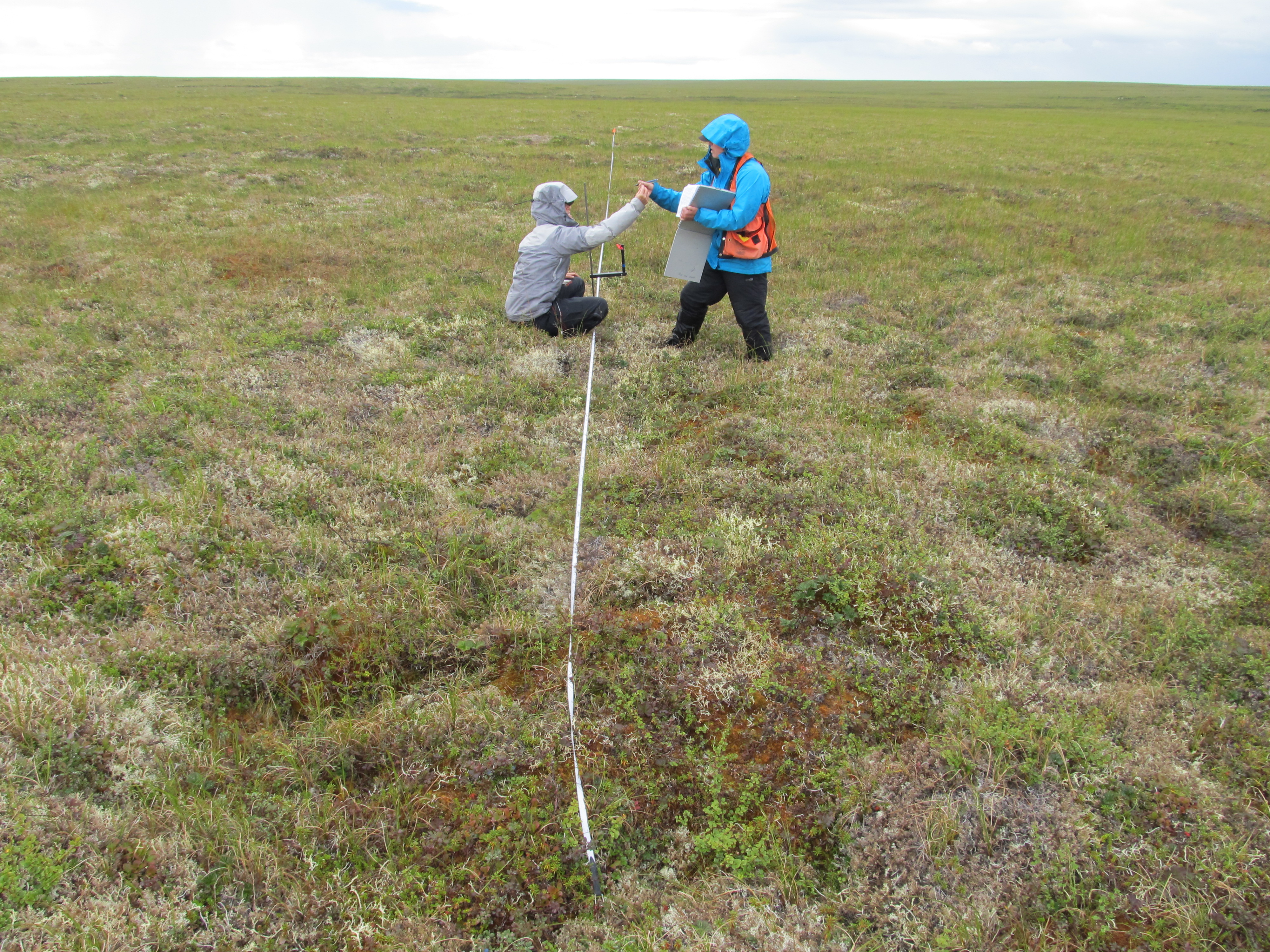
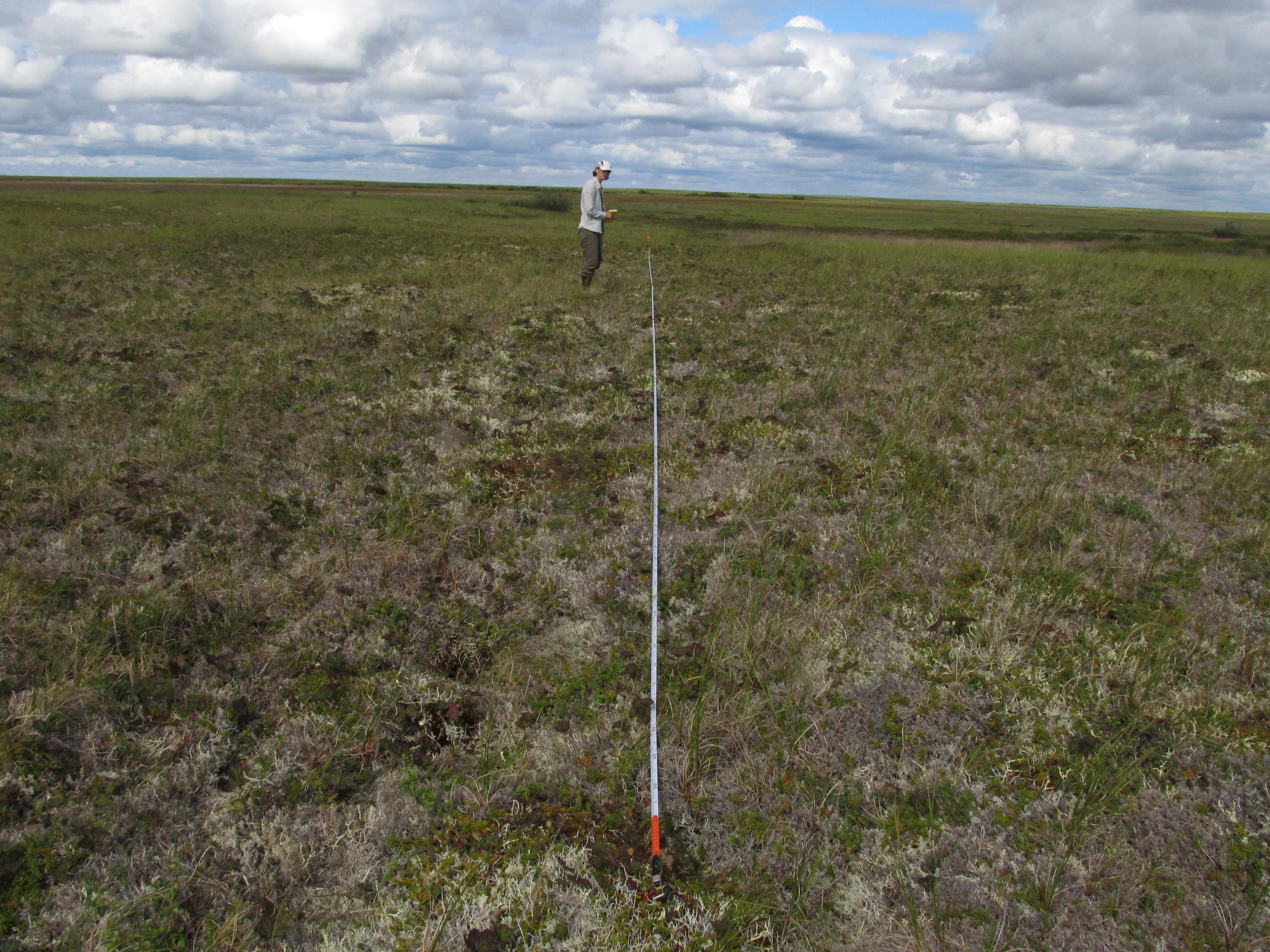
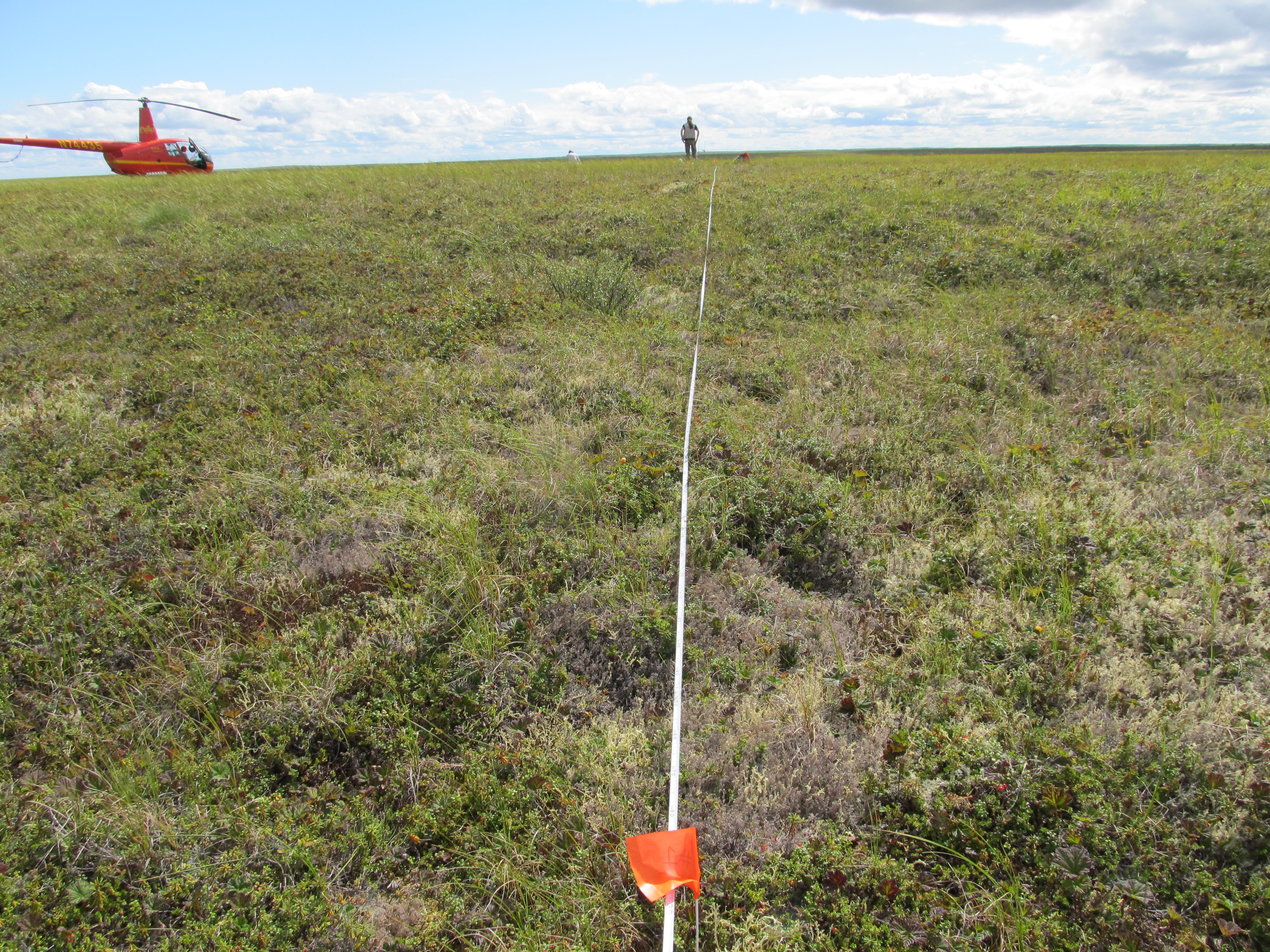
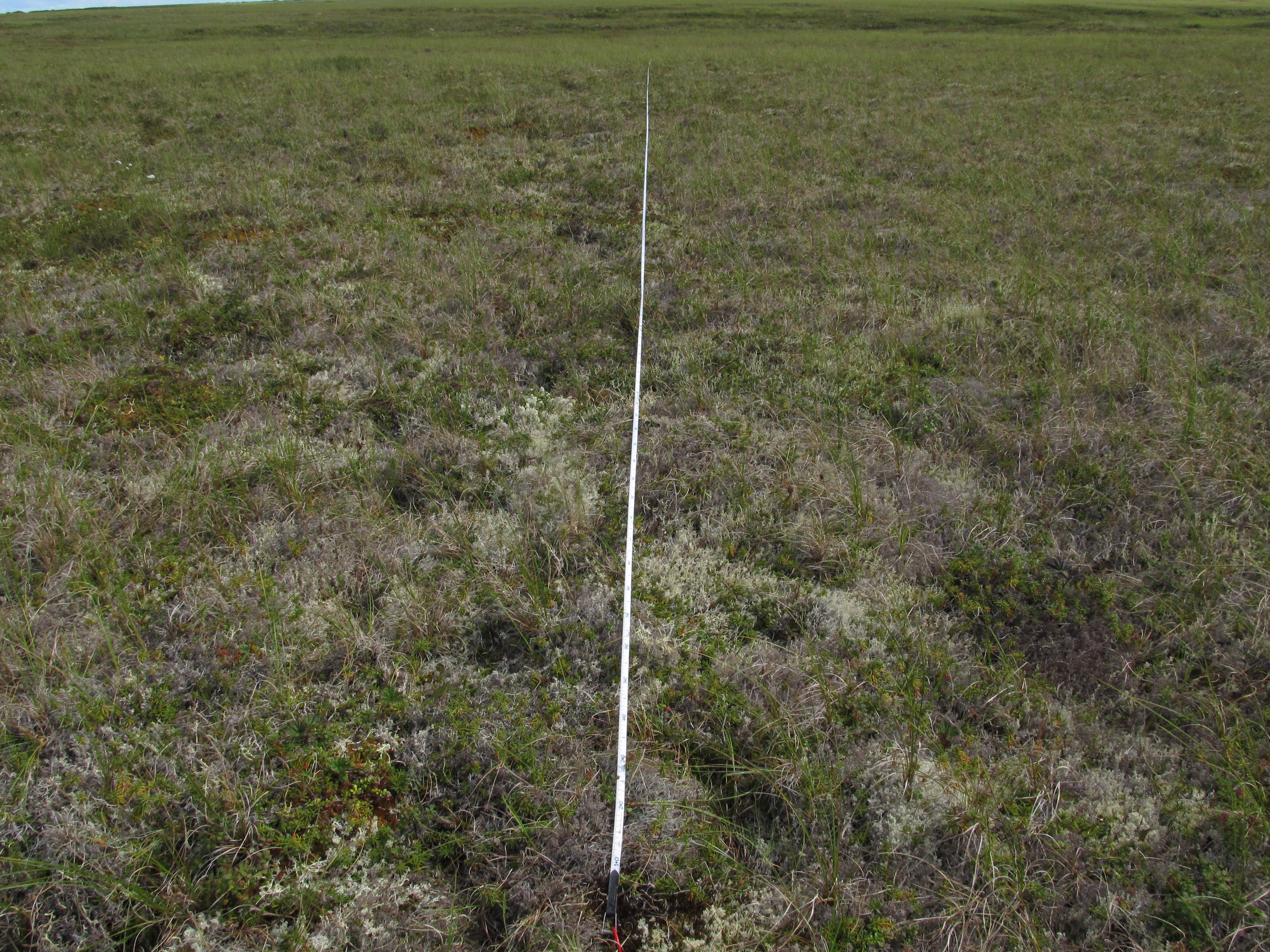
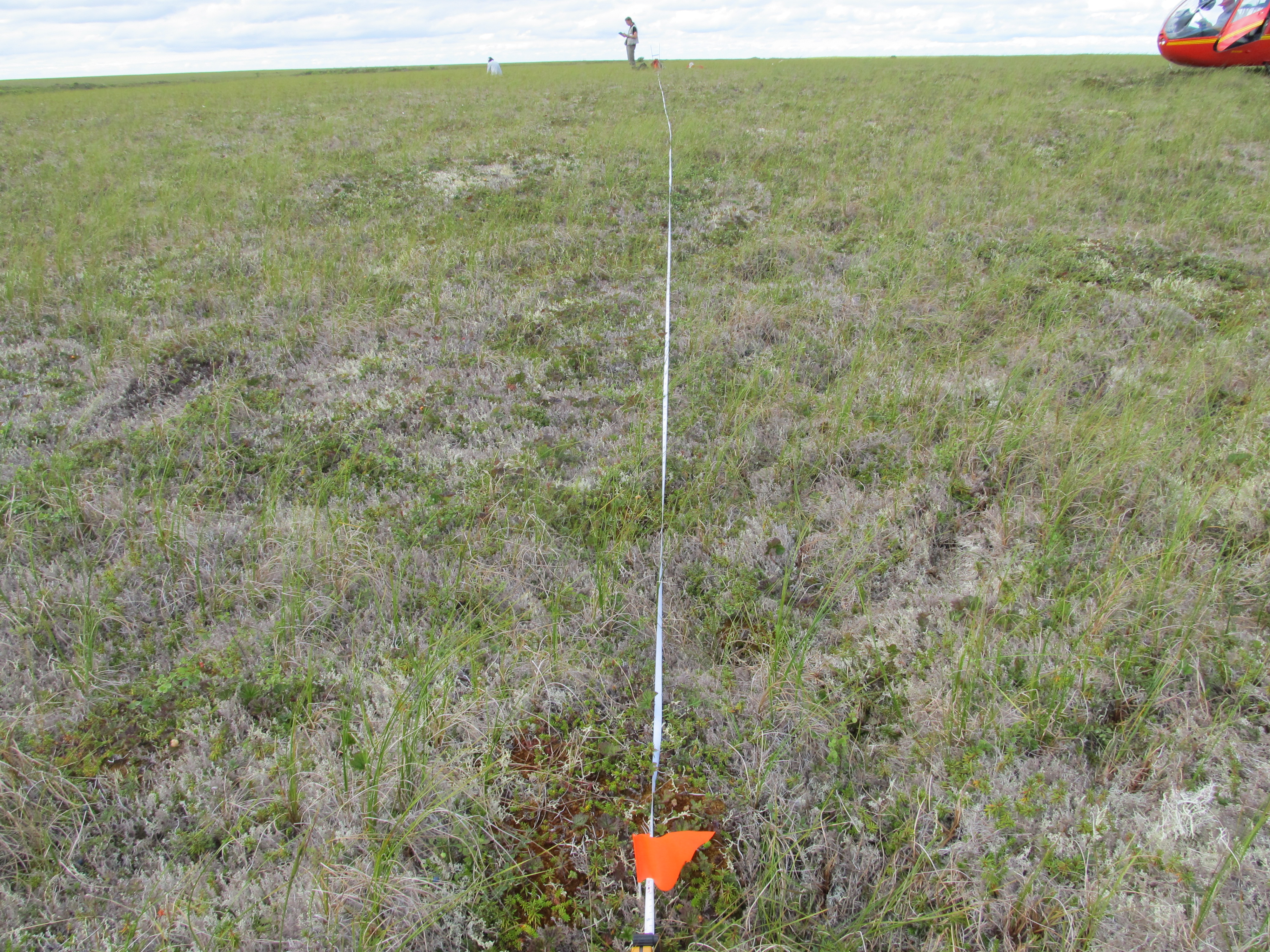
ABoVE: Vegetation Composition across Fire History Gradients on the Y-K Delta, Alaska
Access & Use Information
Downloads & Resources
-
Google Scholar search resultsHTML
Search results for publications that cite this dataset by its DOI.
-
Download this datasetHTML
This link allows direct data access via Earthdata login
-
View documentation related to this datasetHTML
ORNL DAAC Data Set Documentation
-
This dataset's landing pageHTML
Data set Landing Page DOI URL
-
View documentation related to this datasetPDF
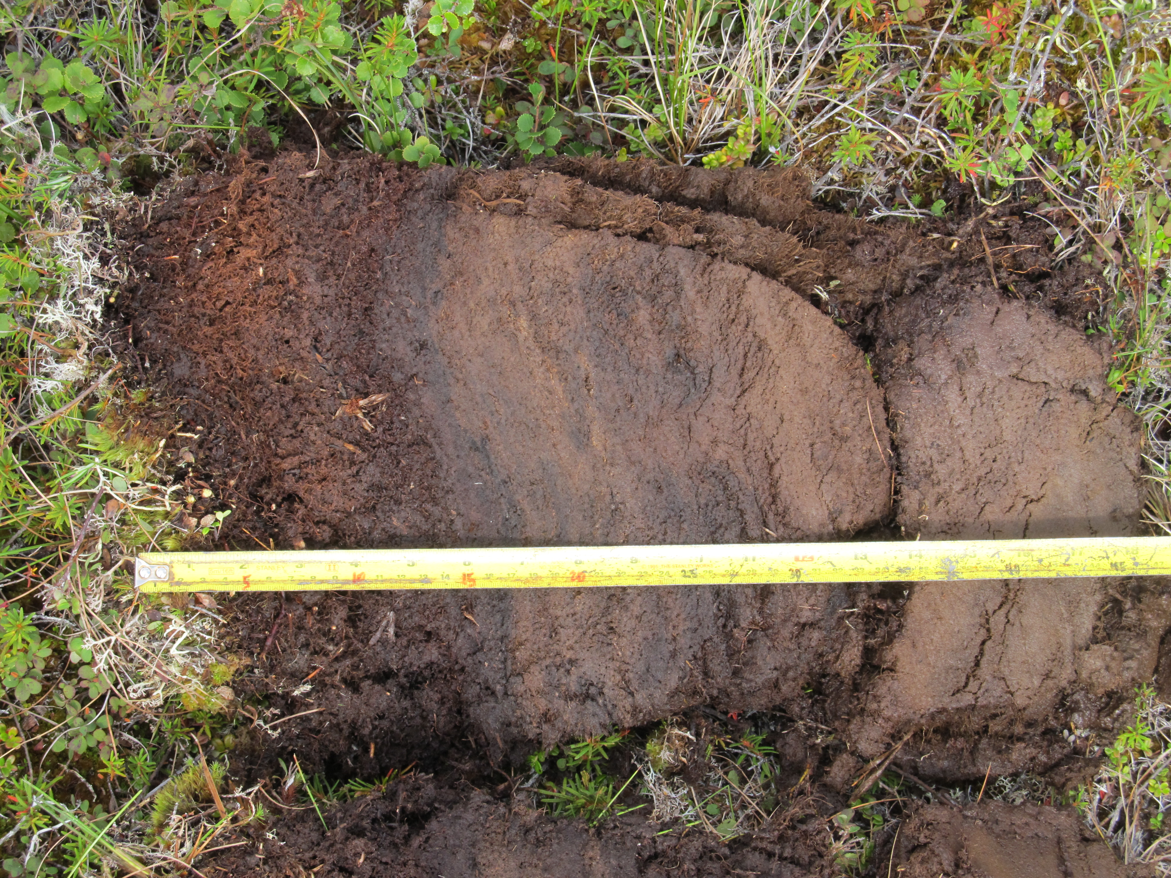
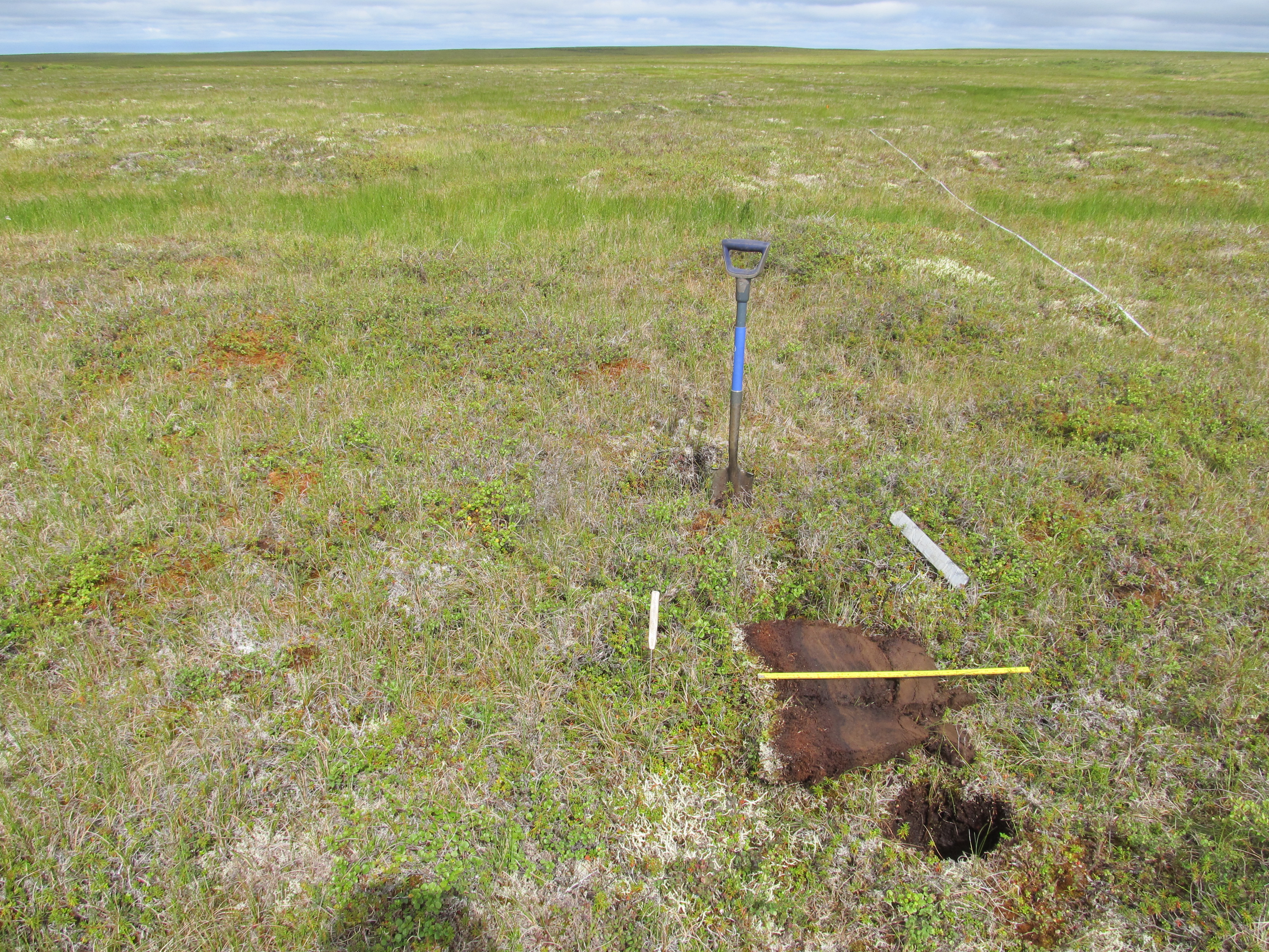
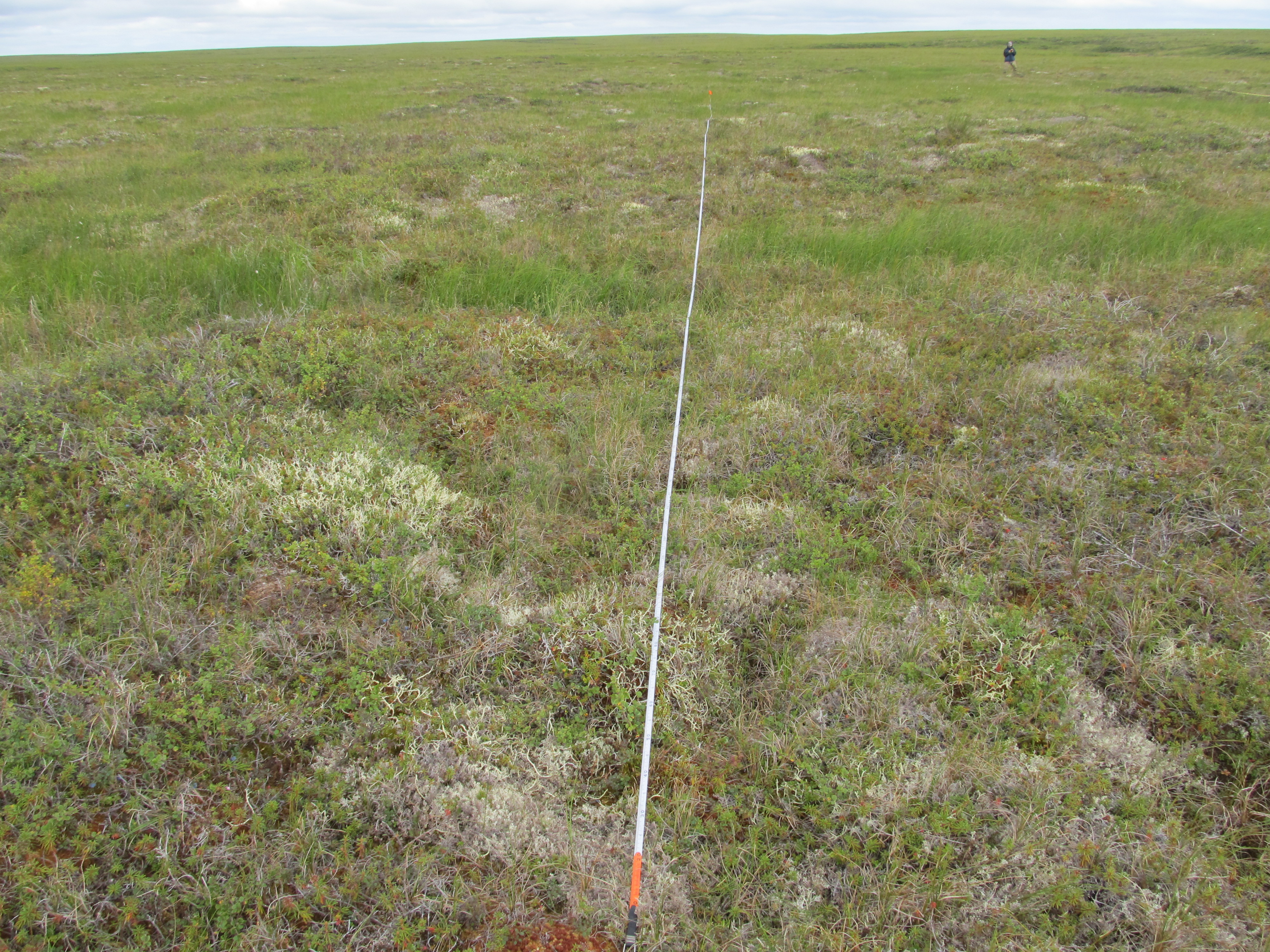
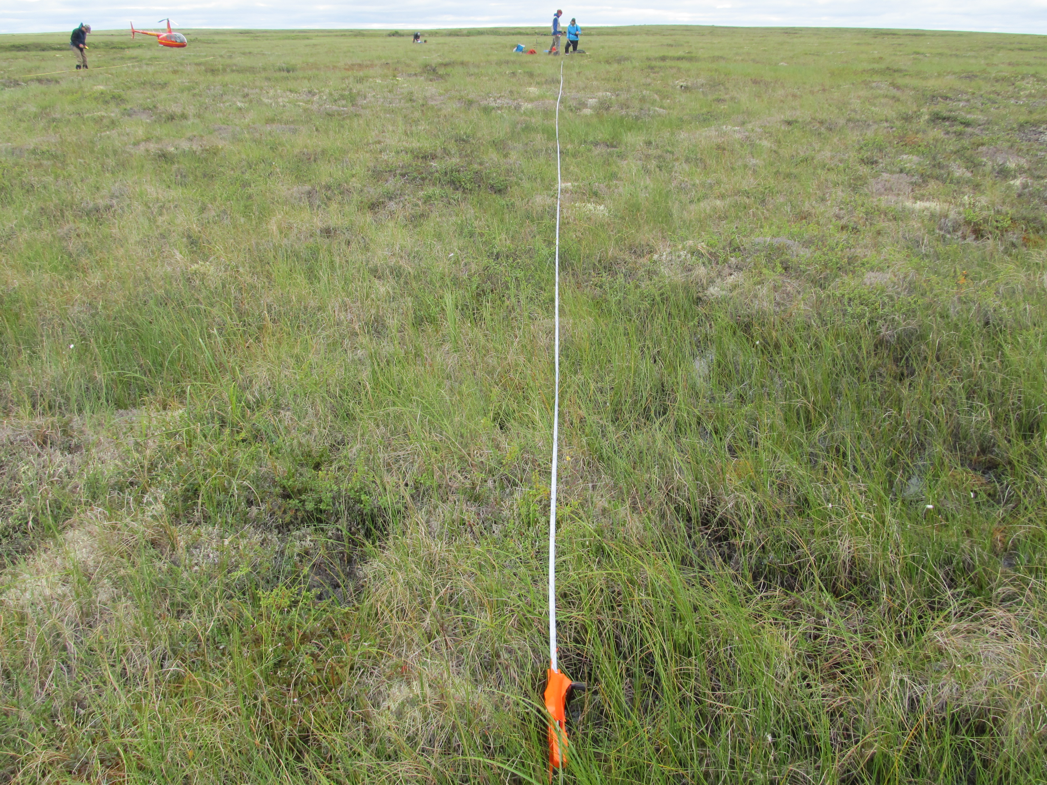
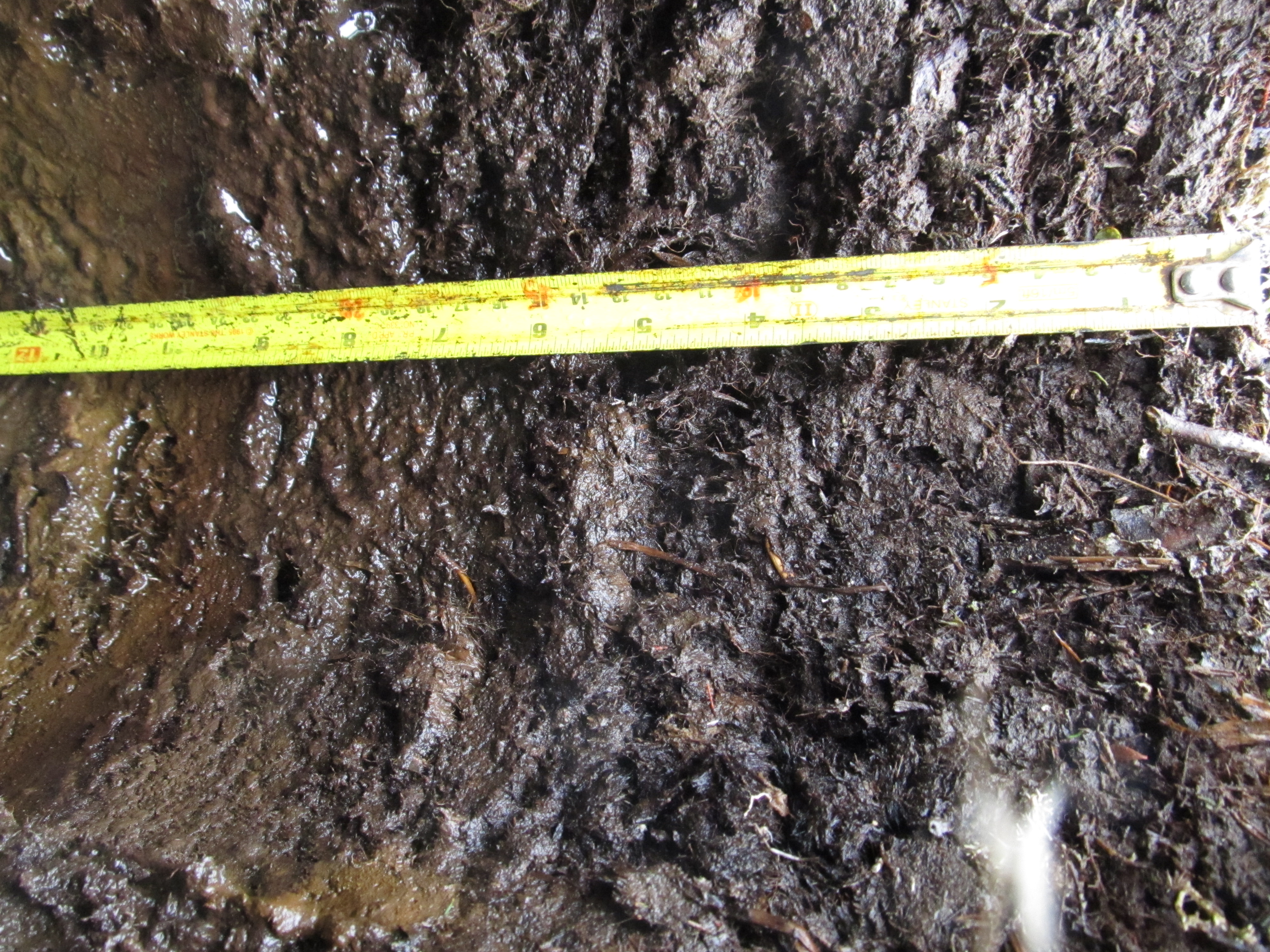
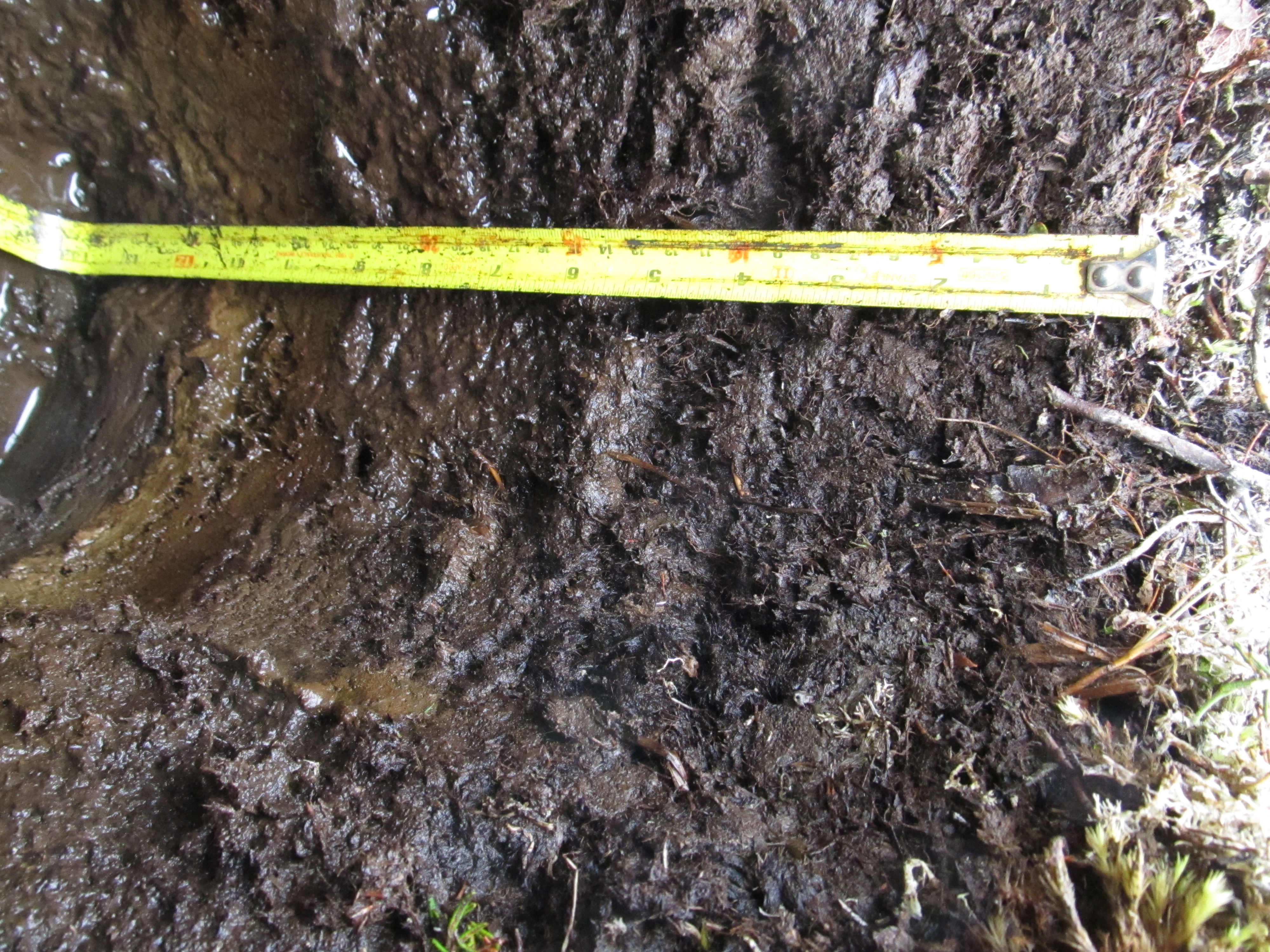
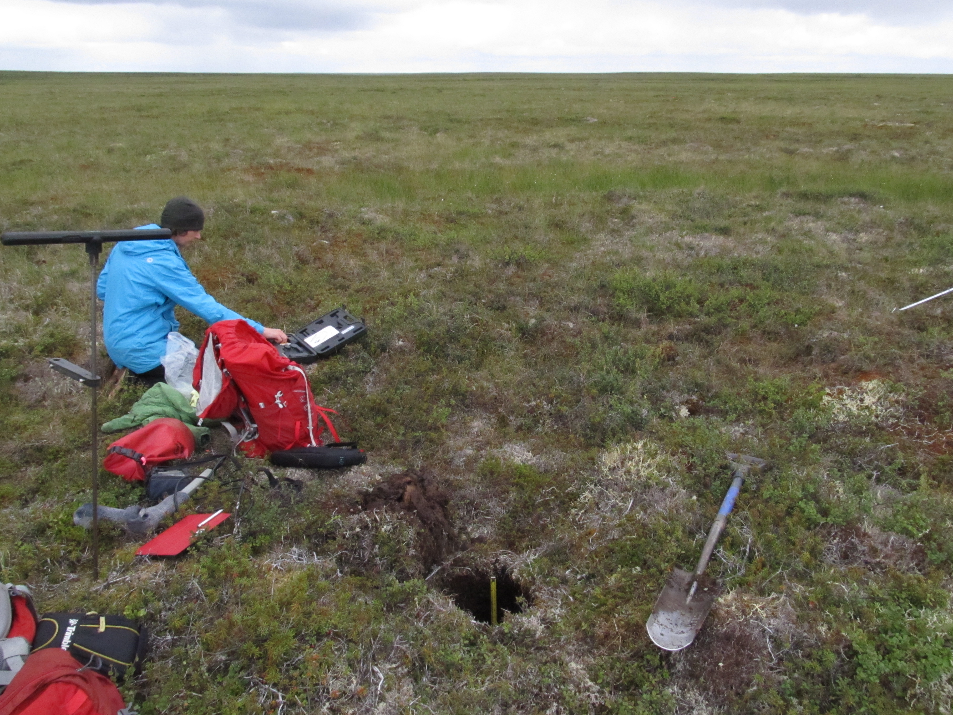
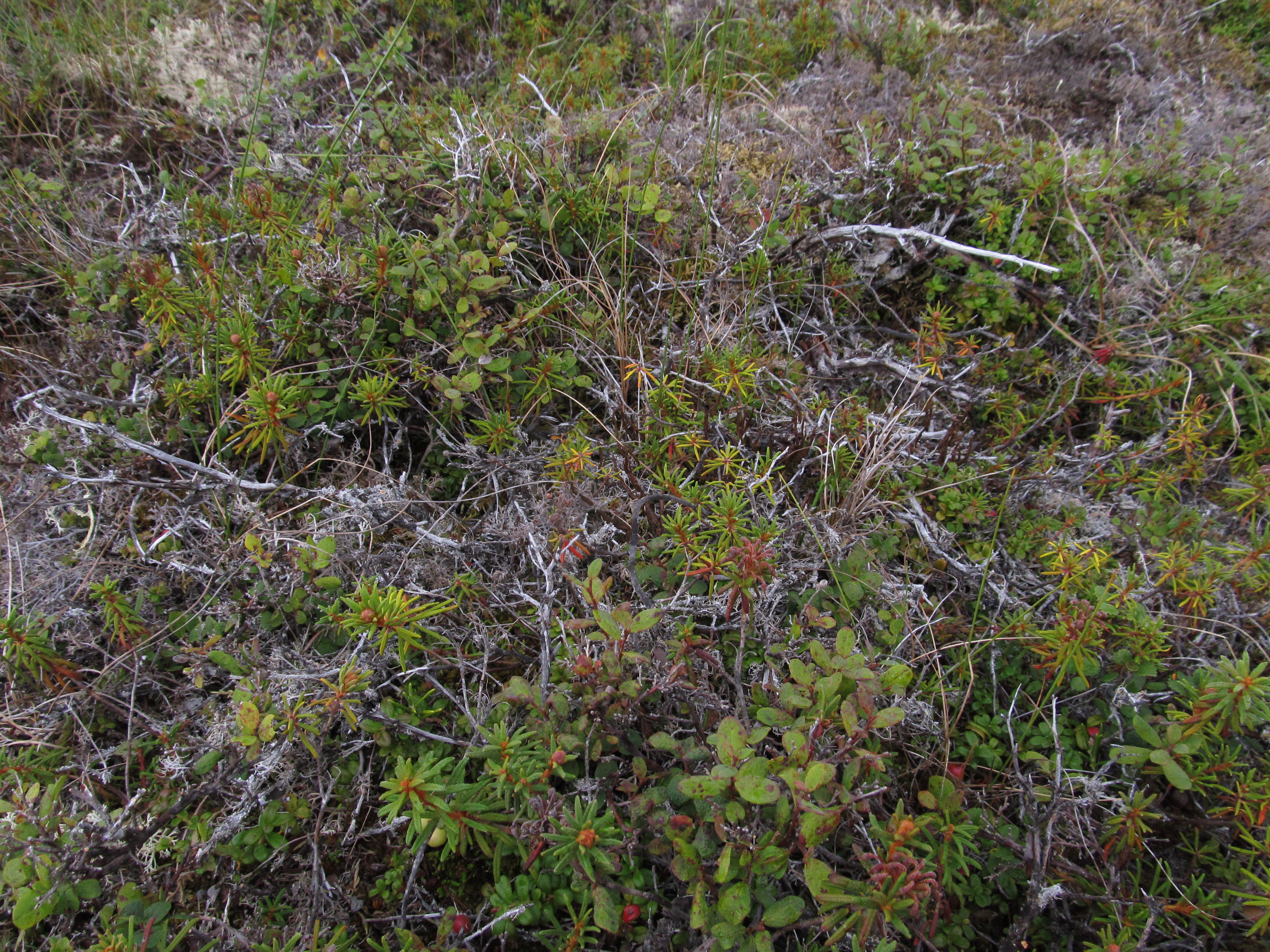
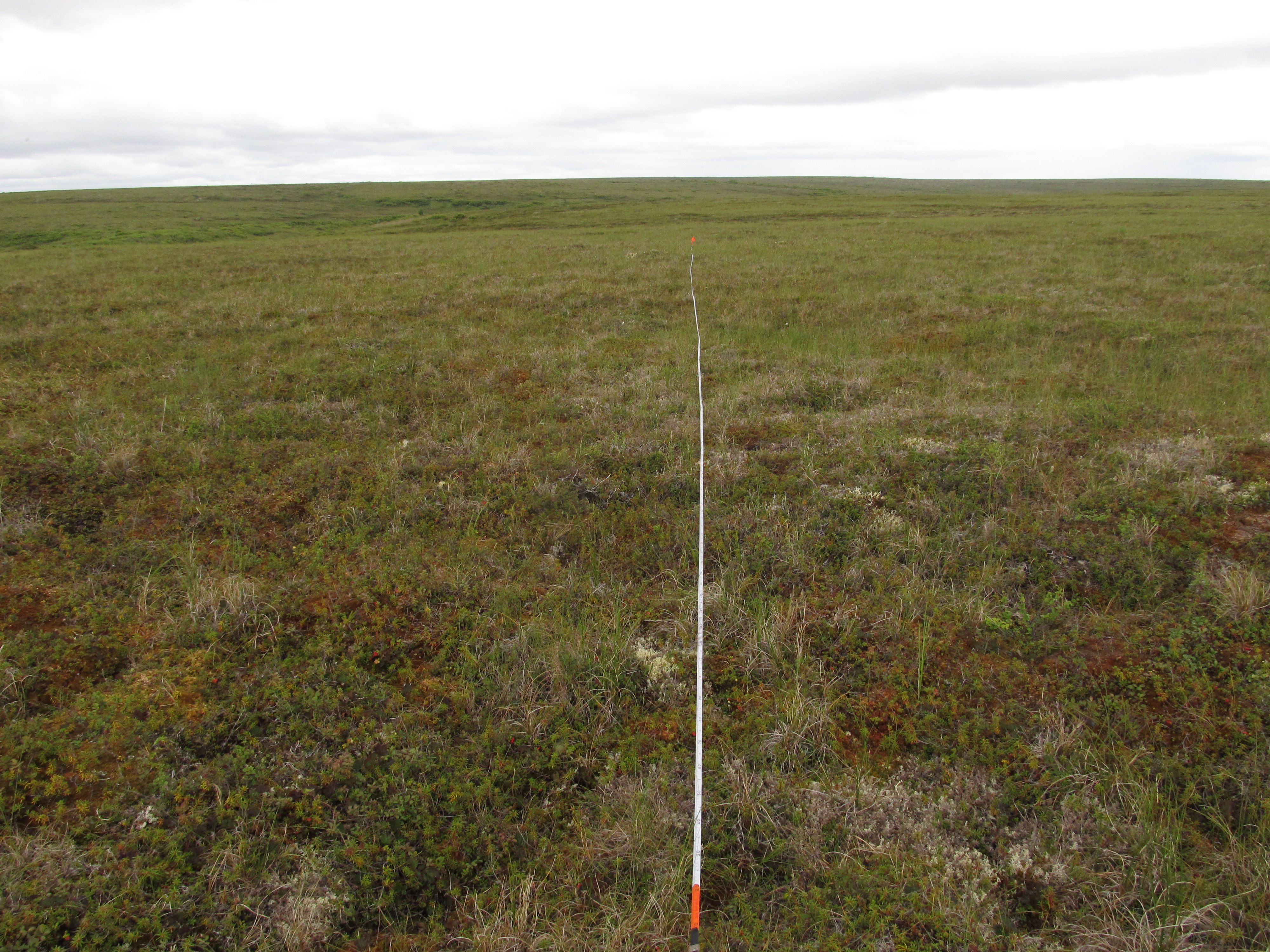
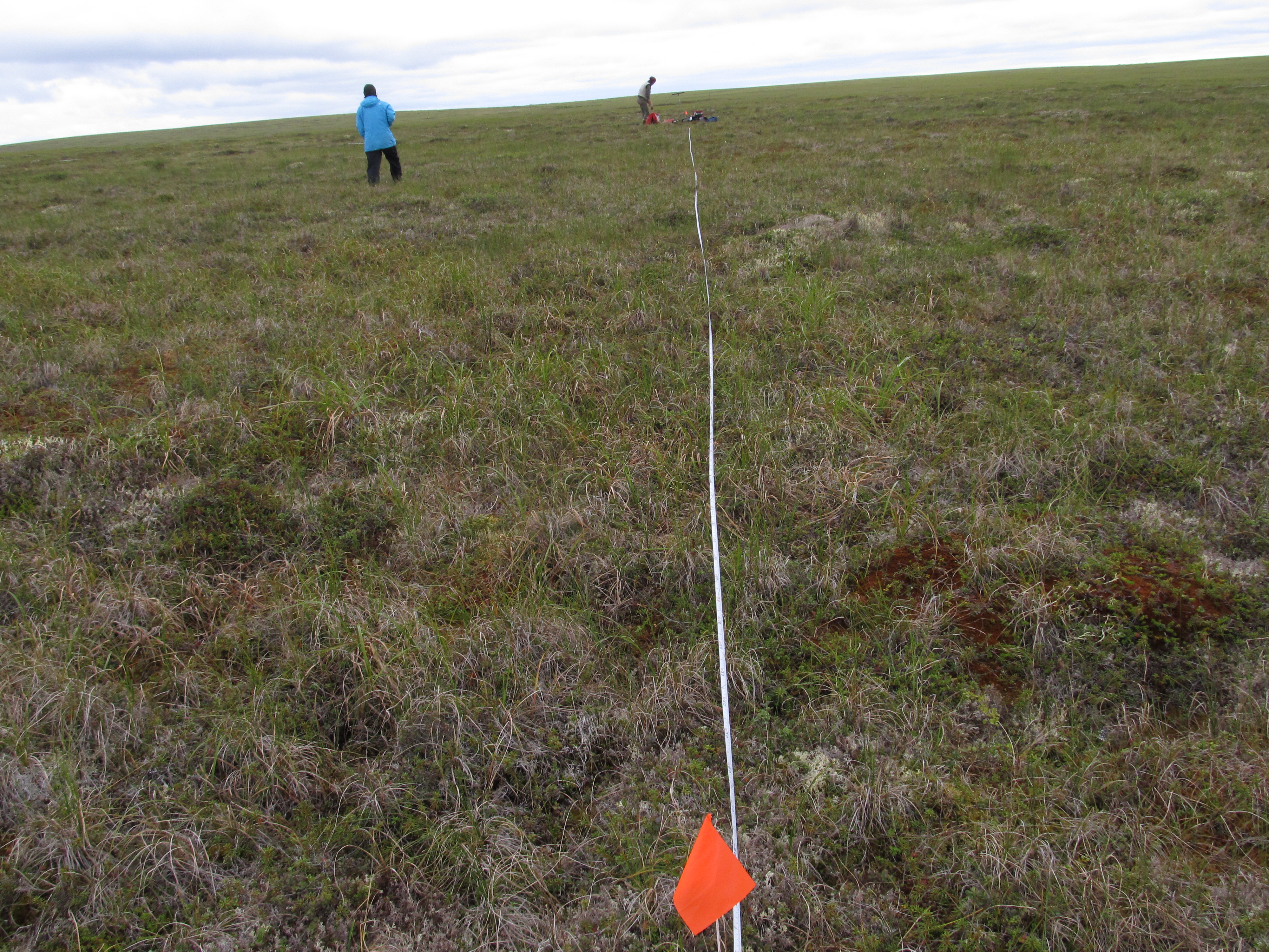
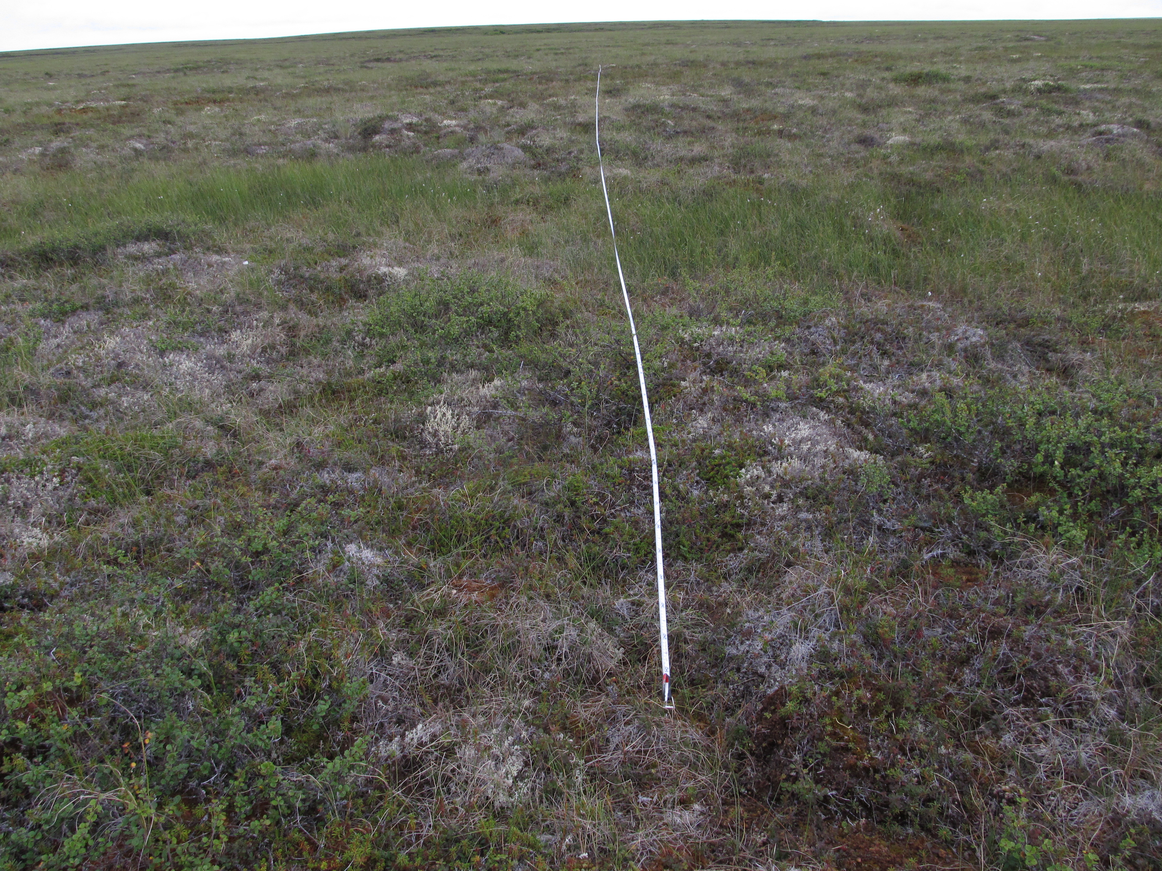
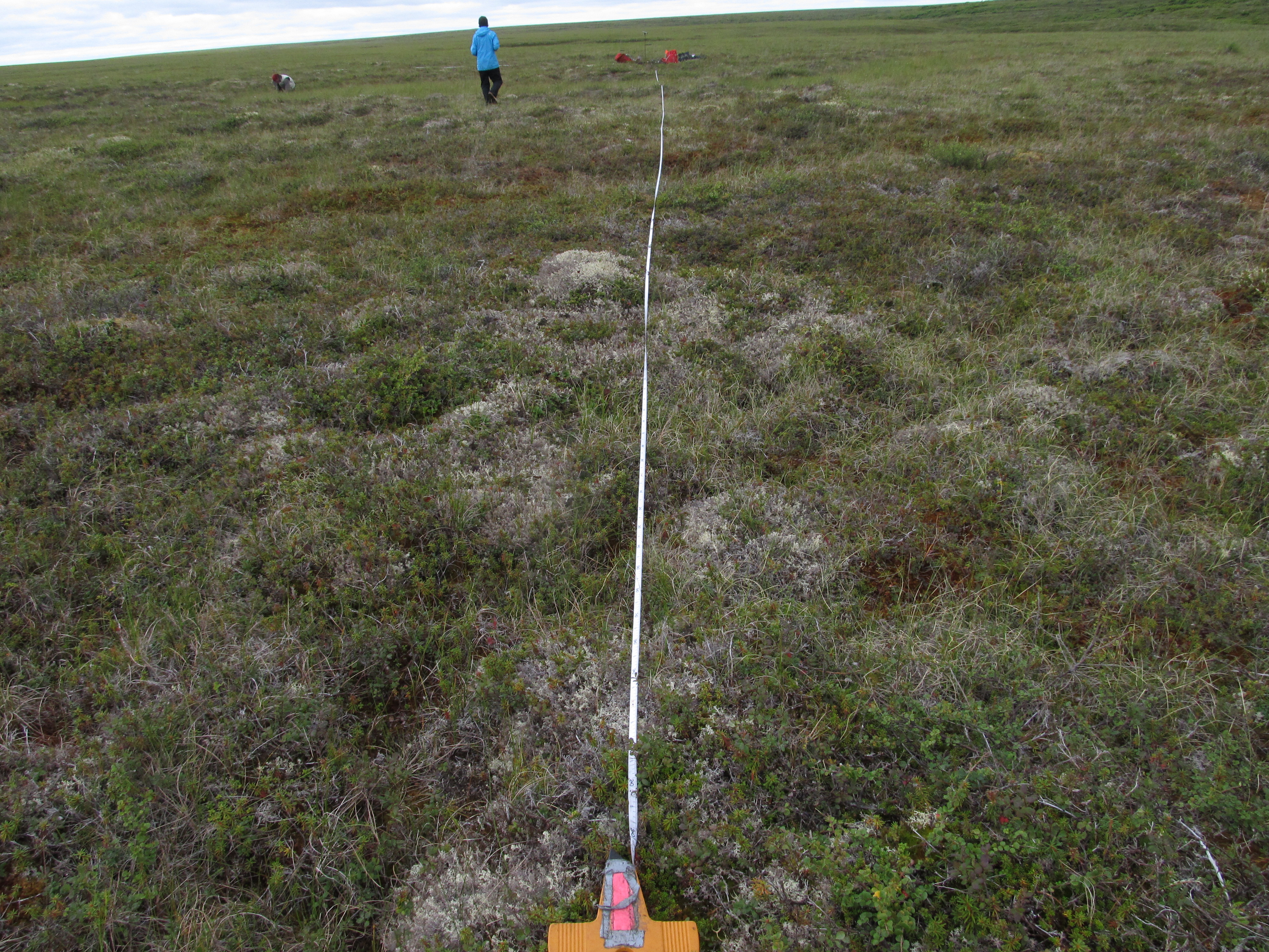
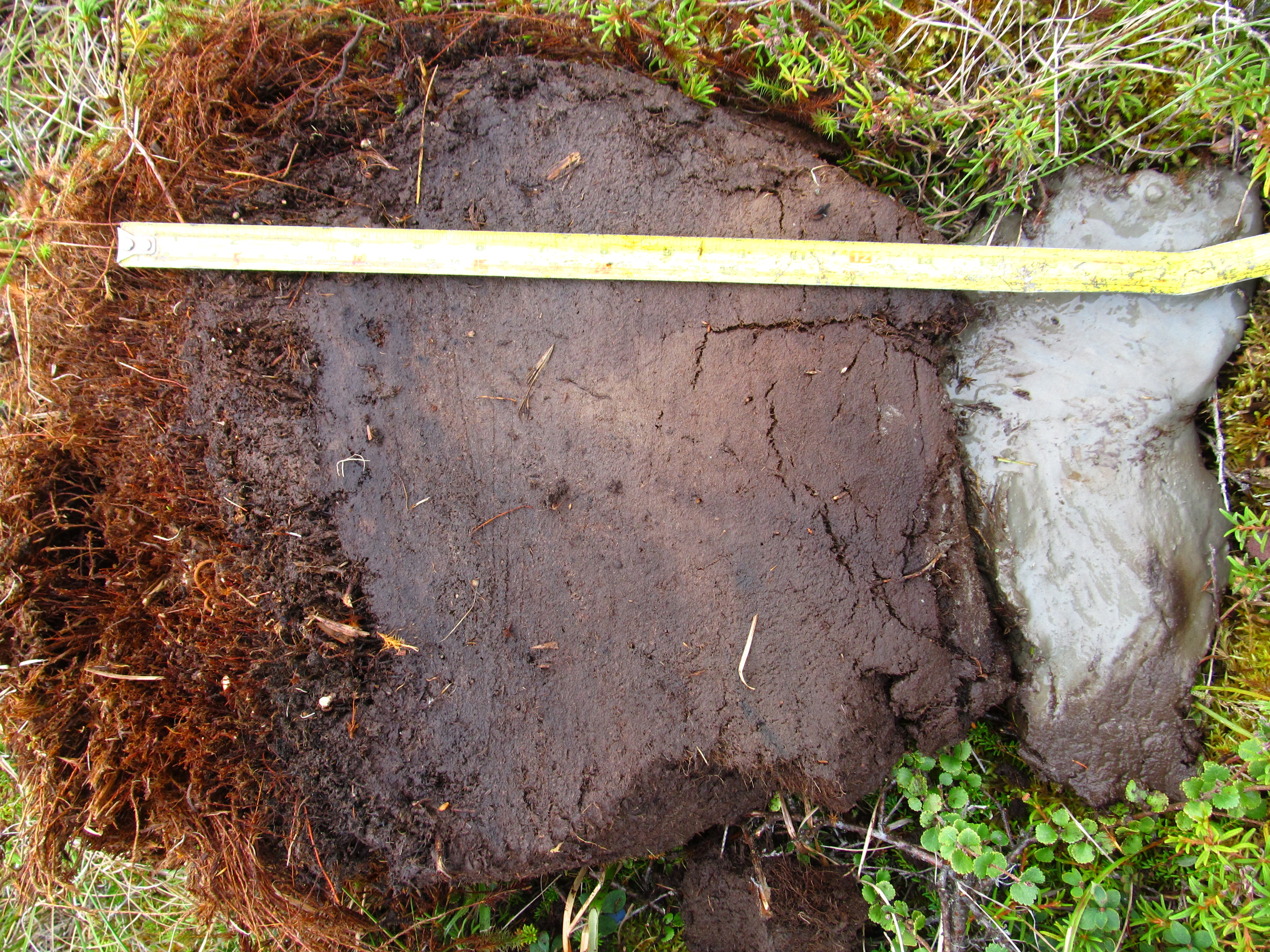
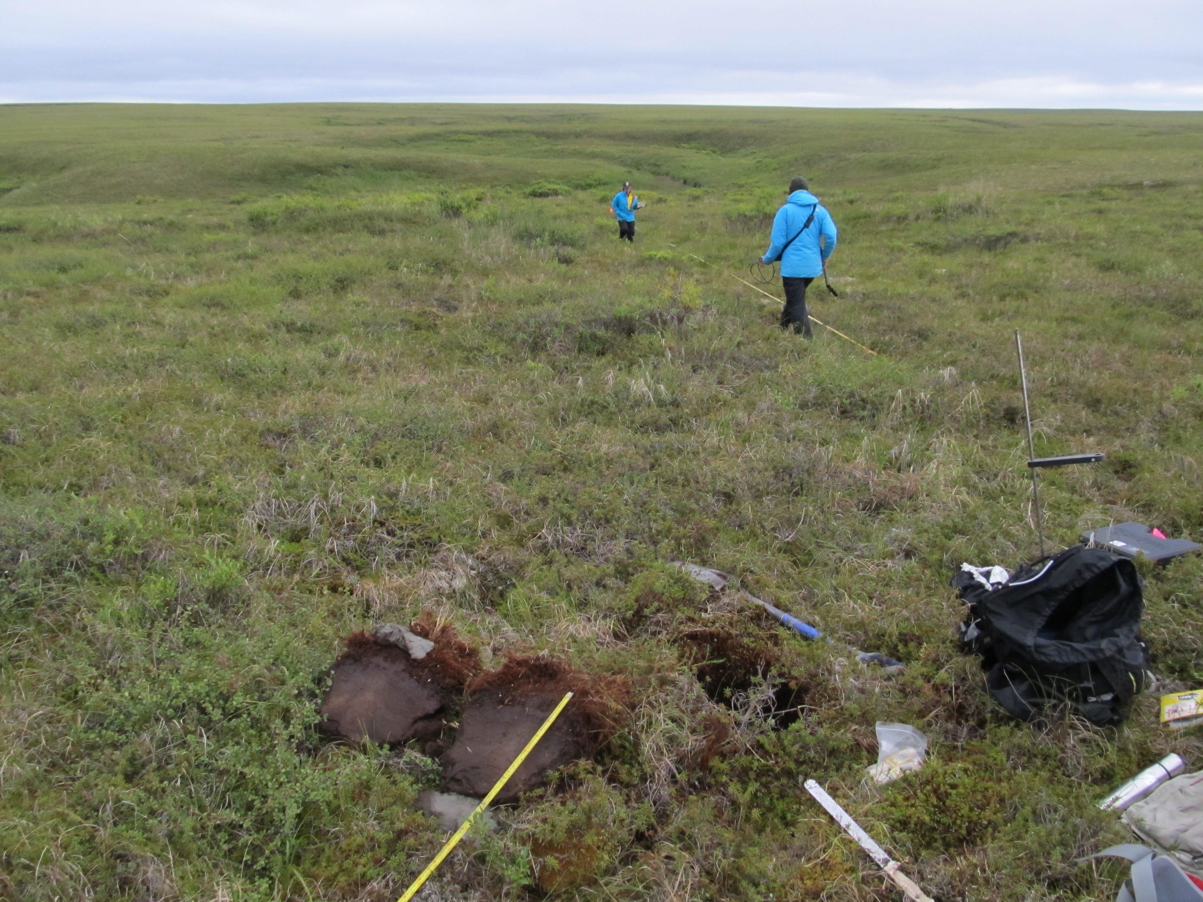
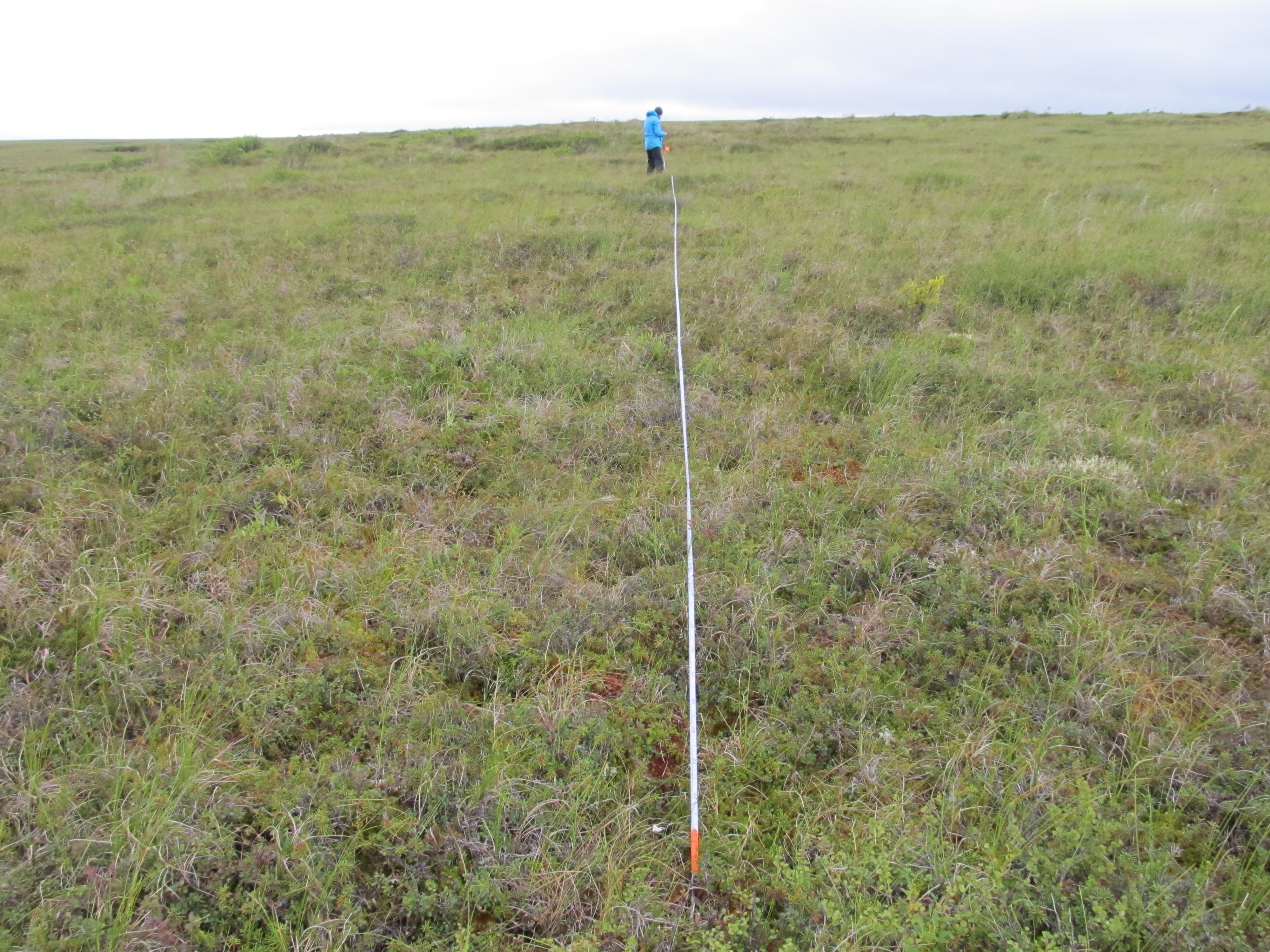
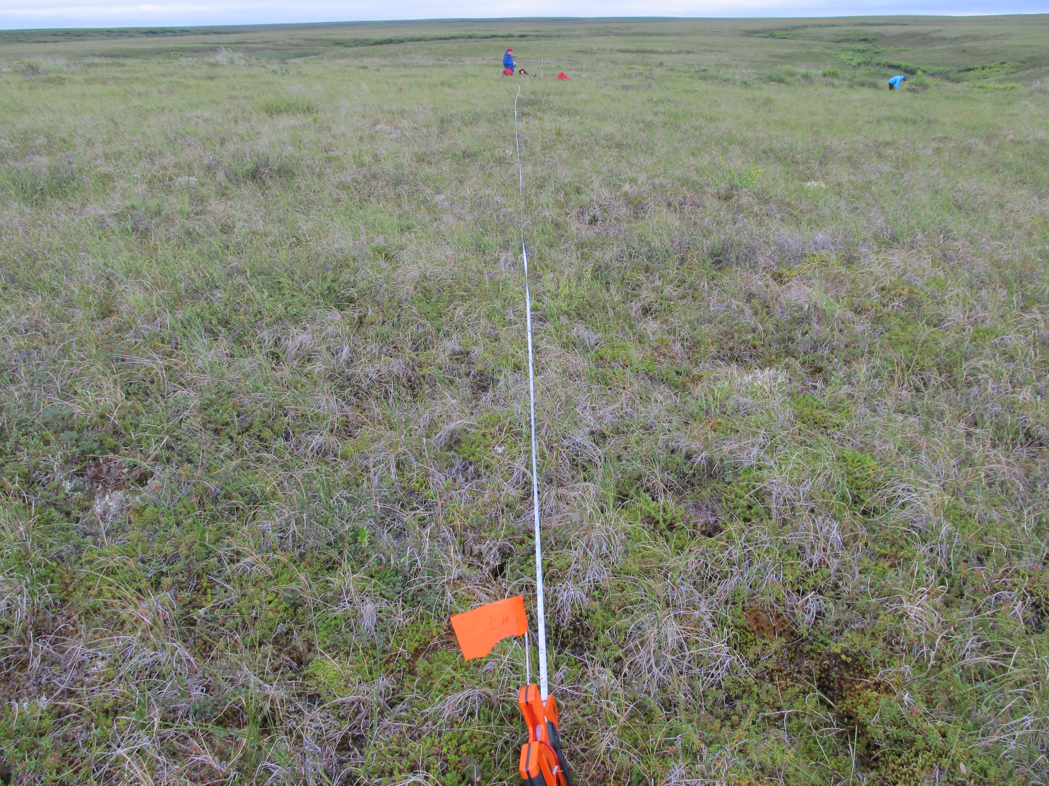
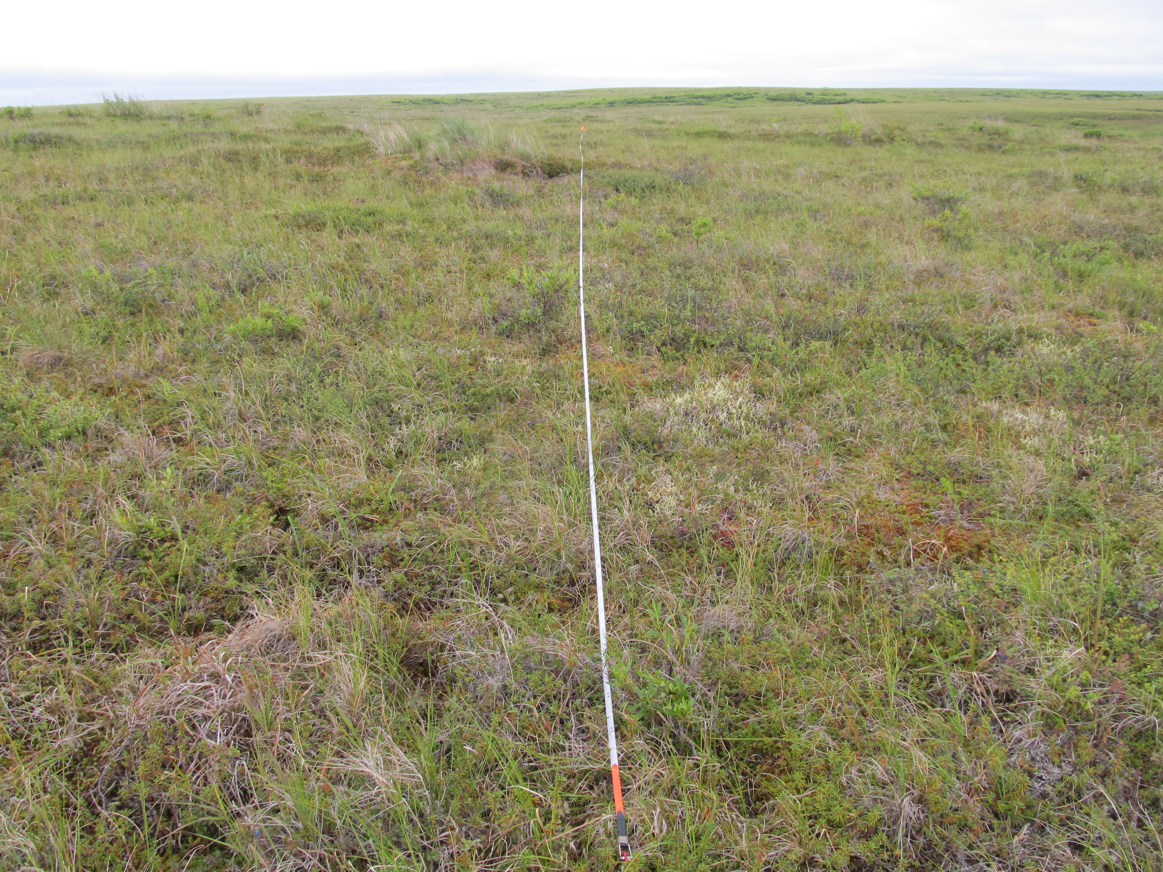
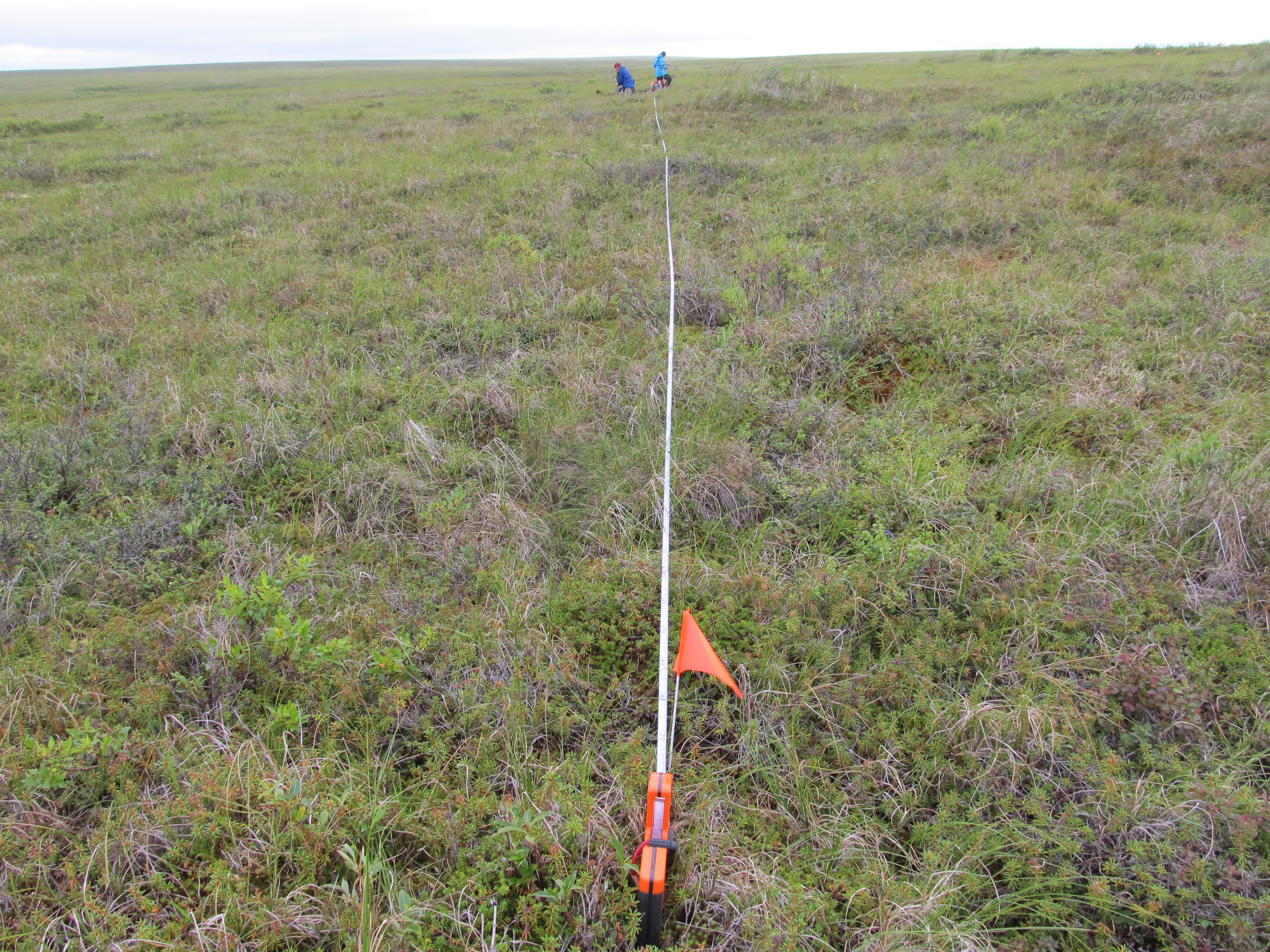
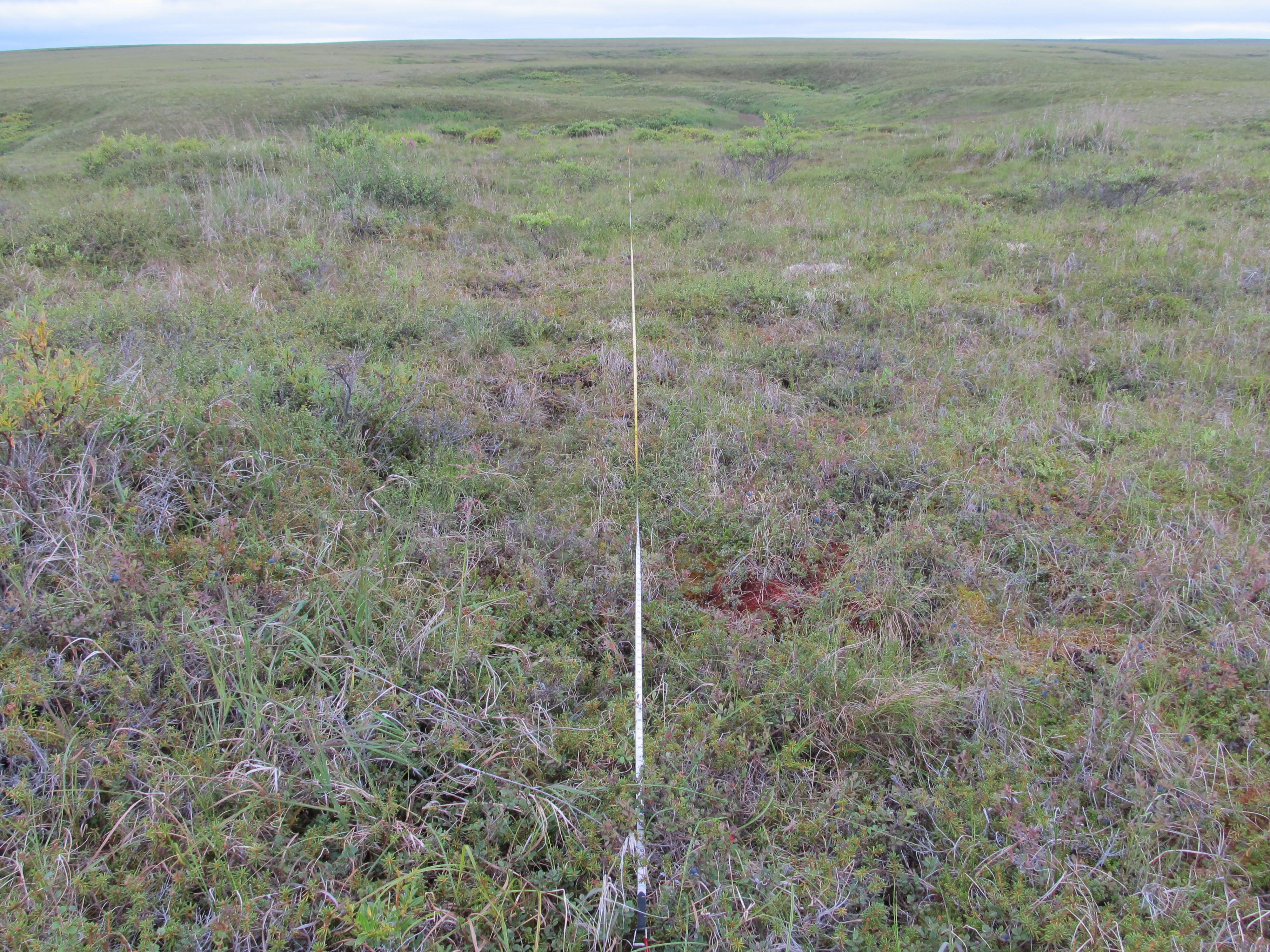
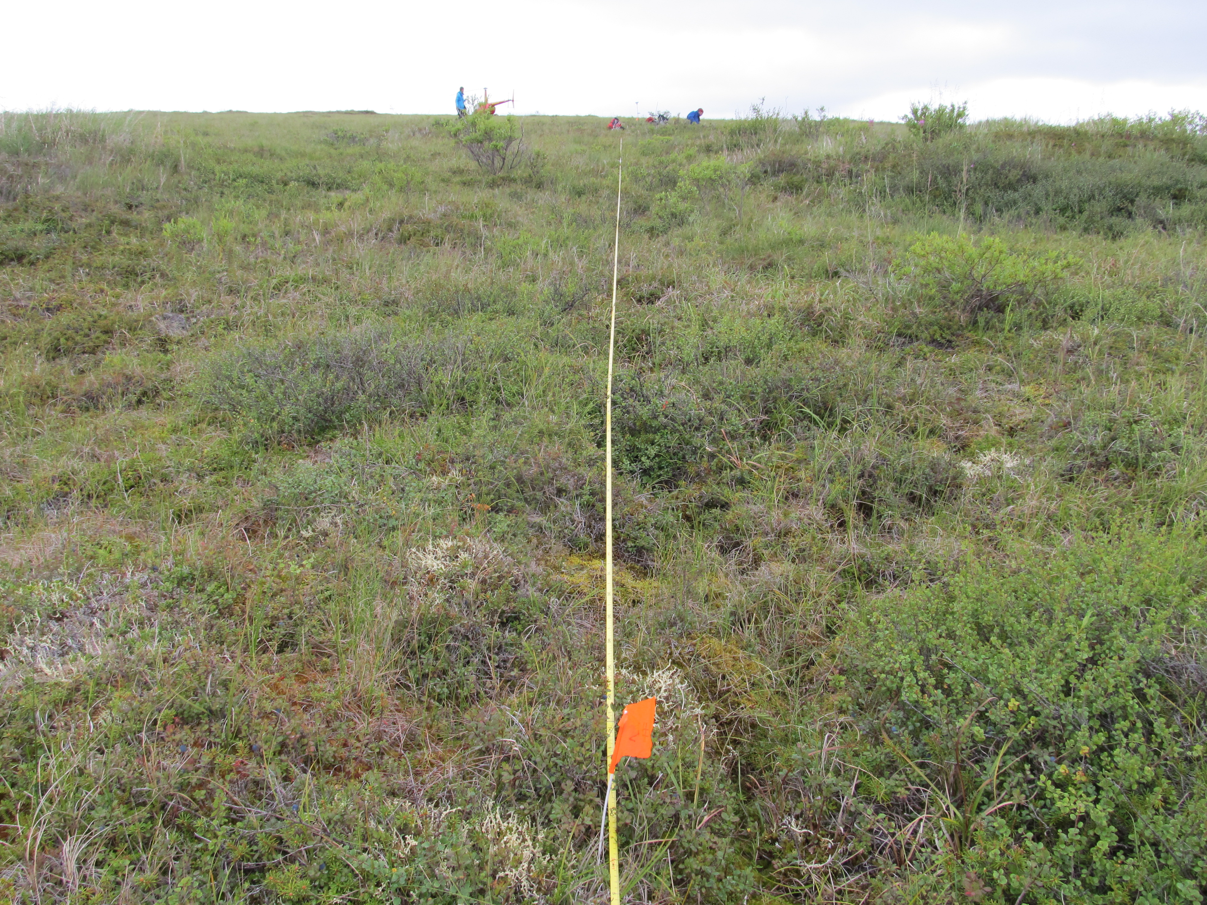
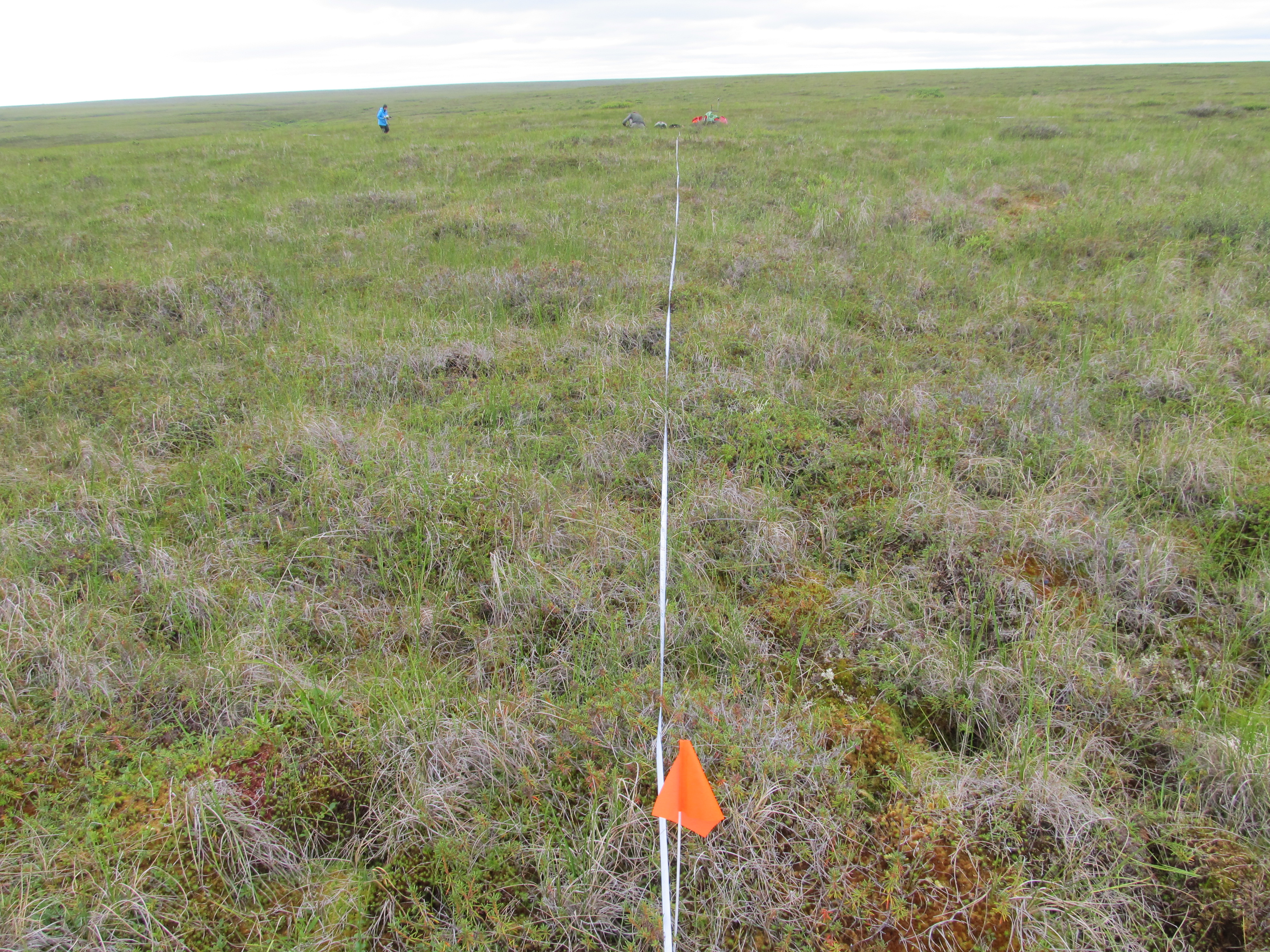
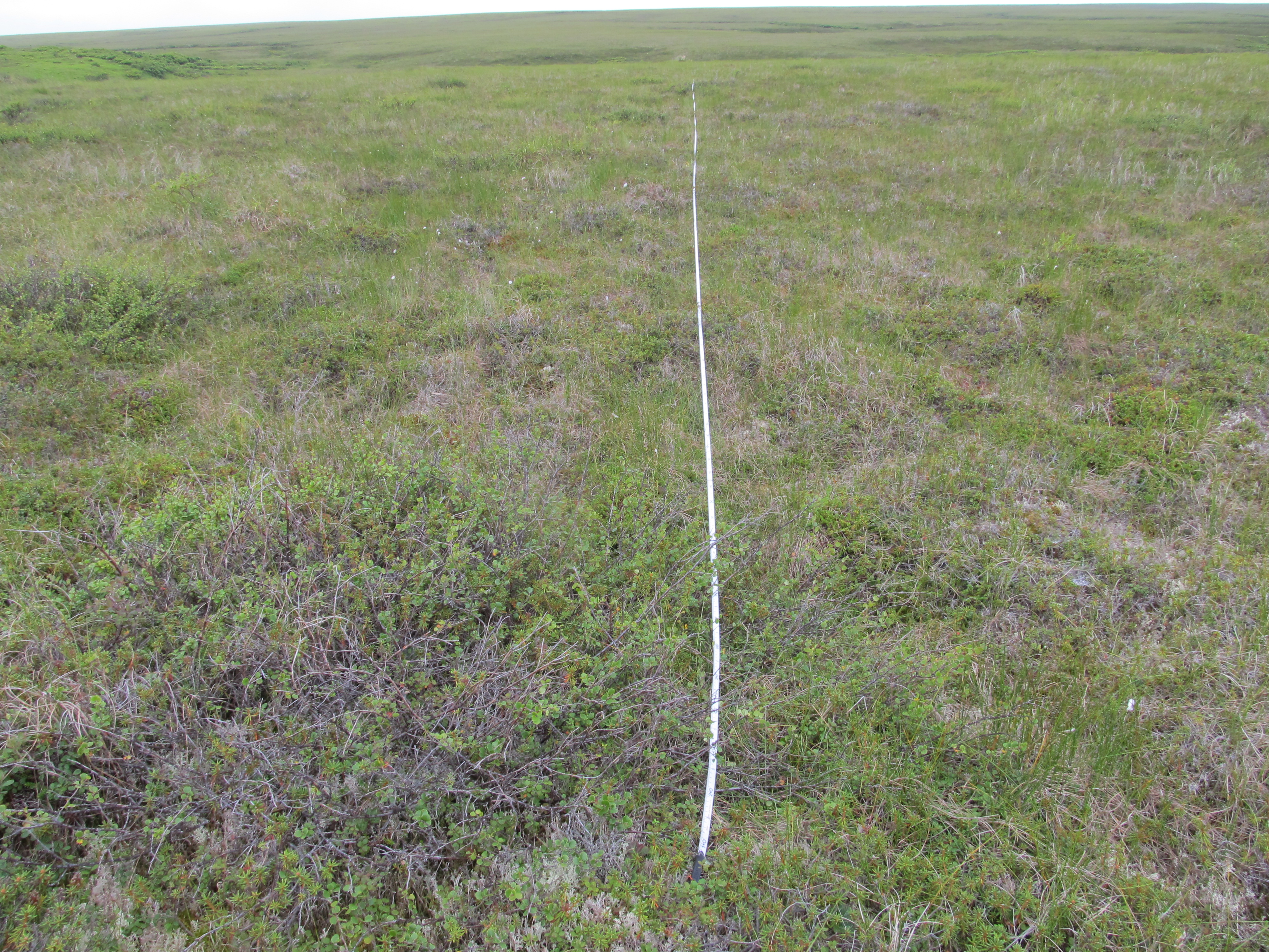
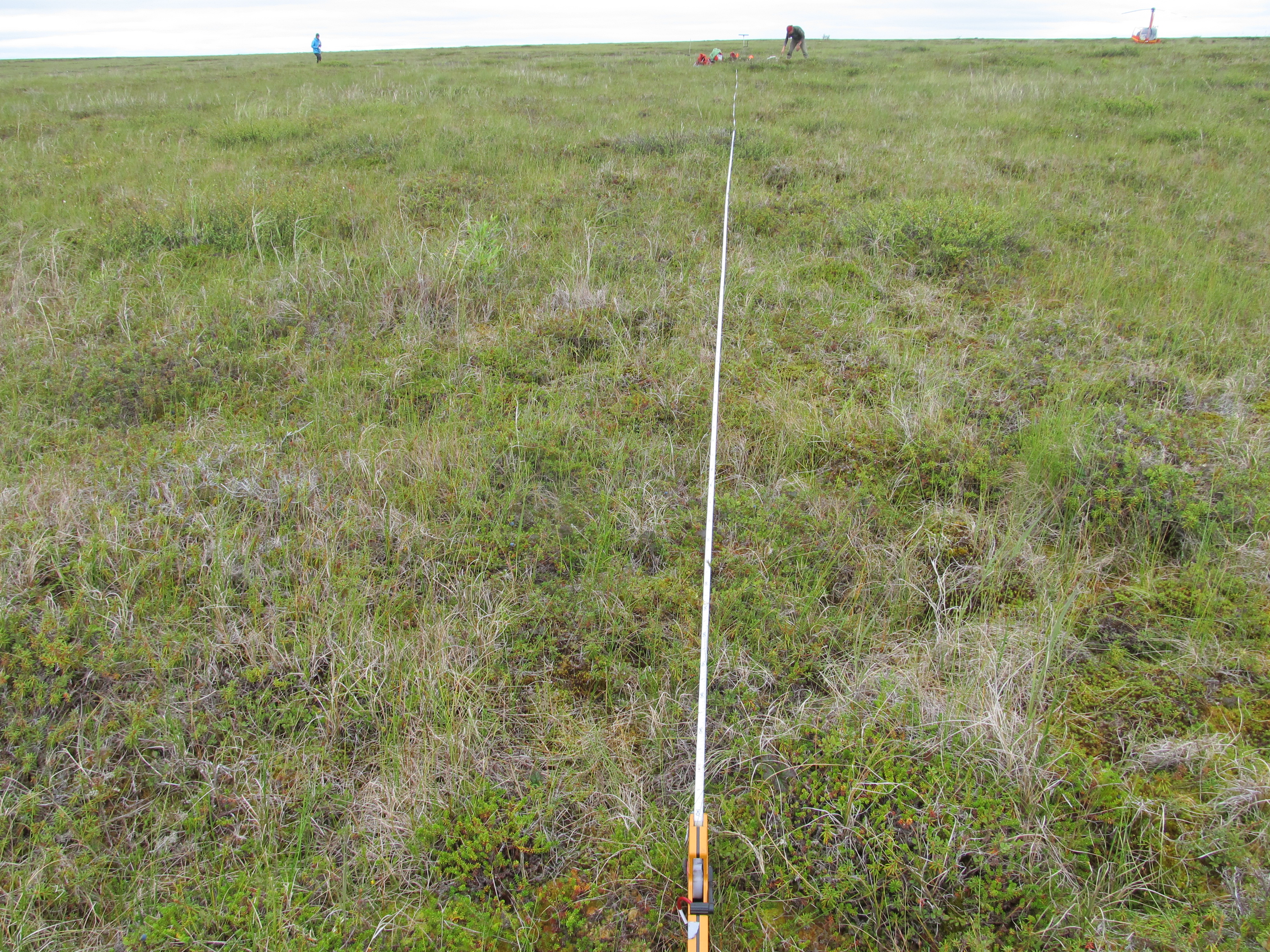
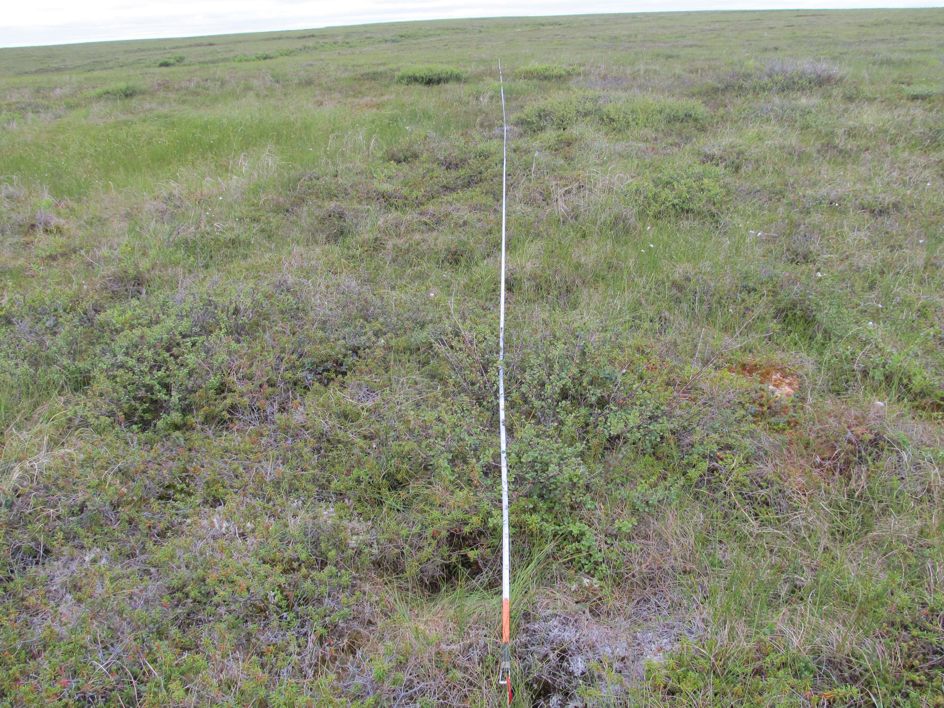
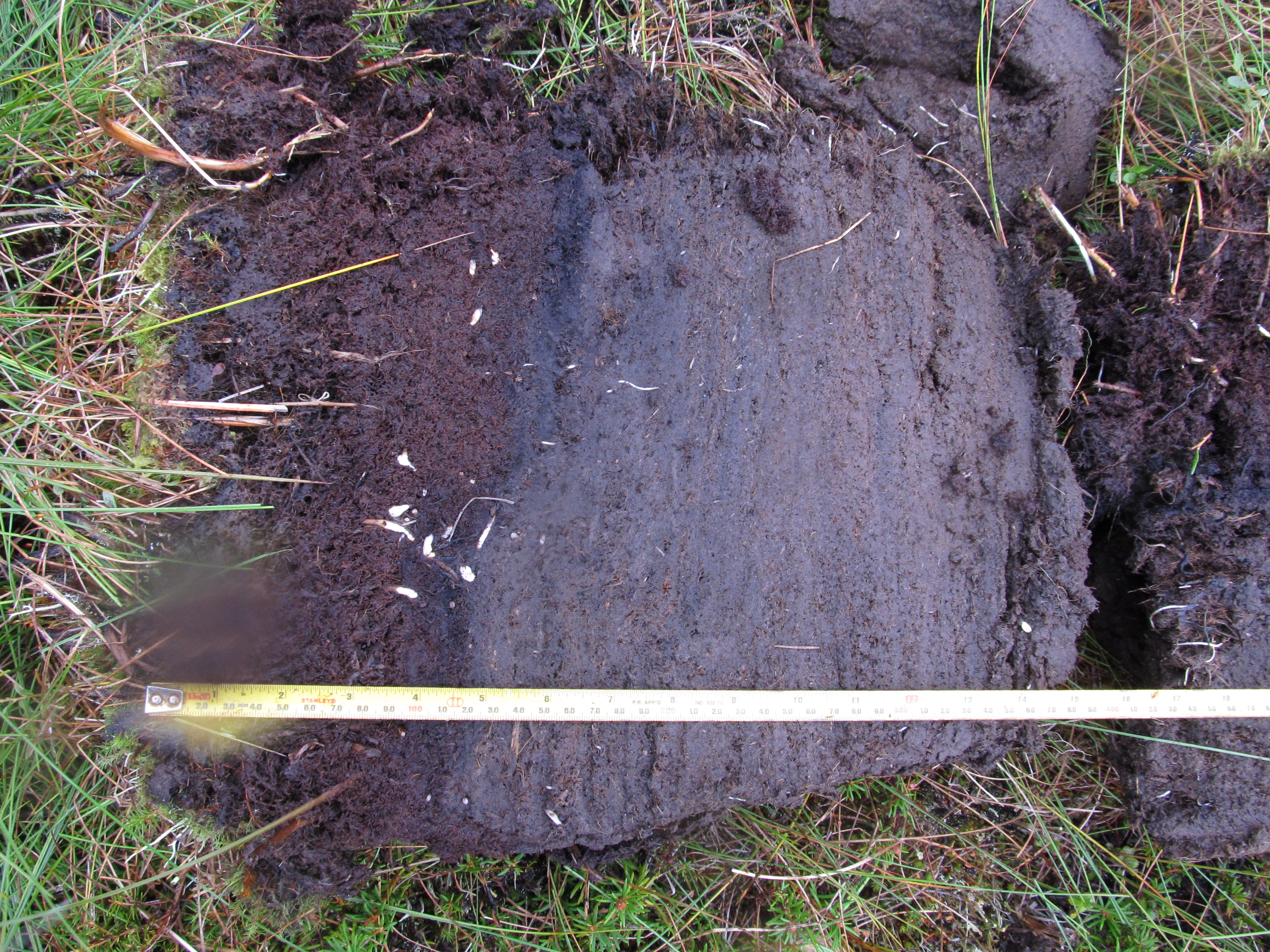
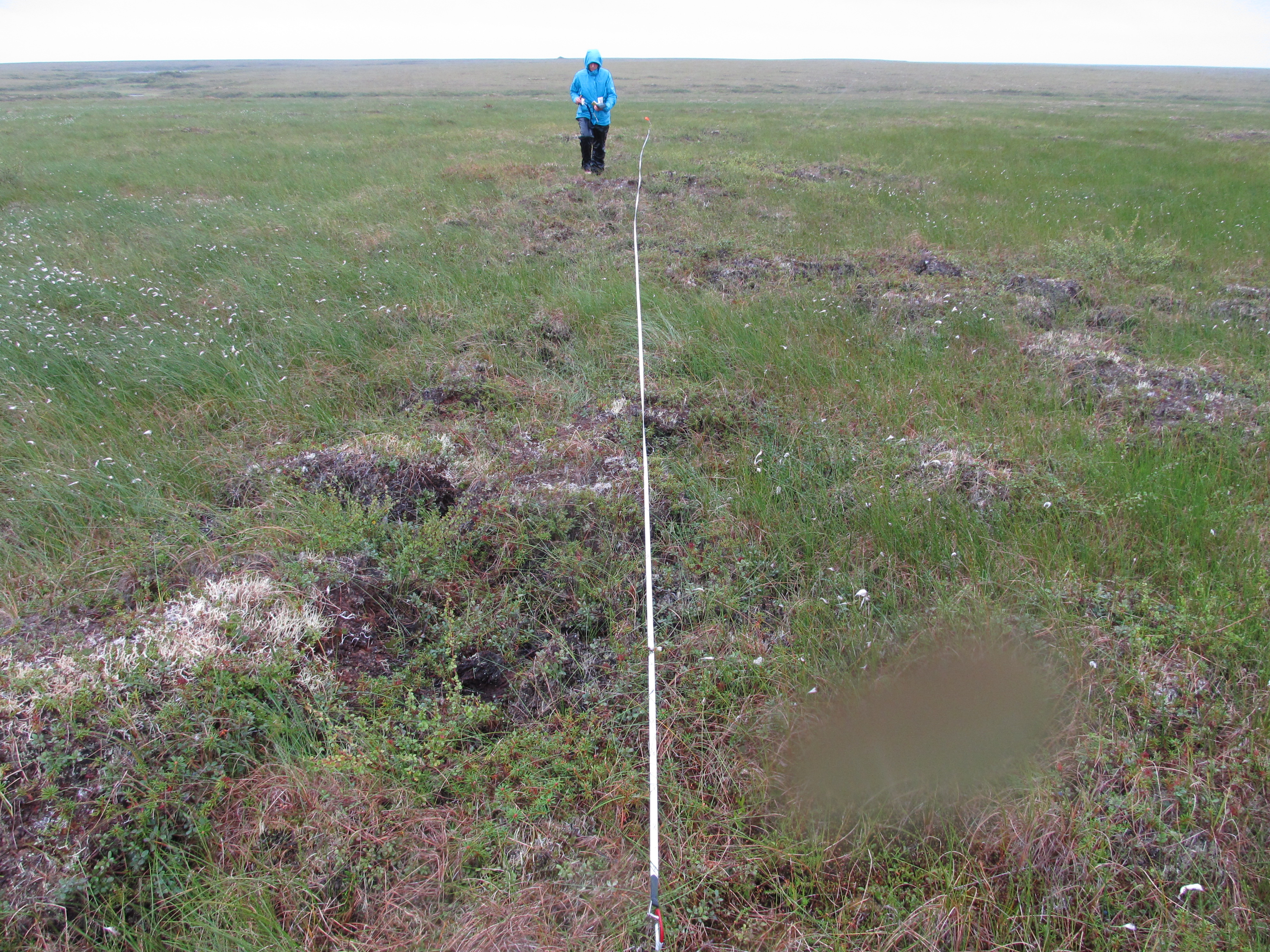
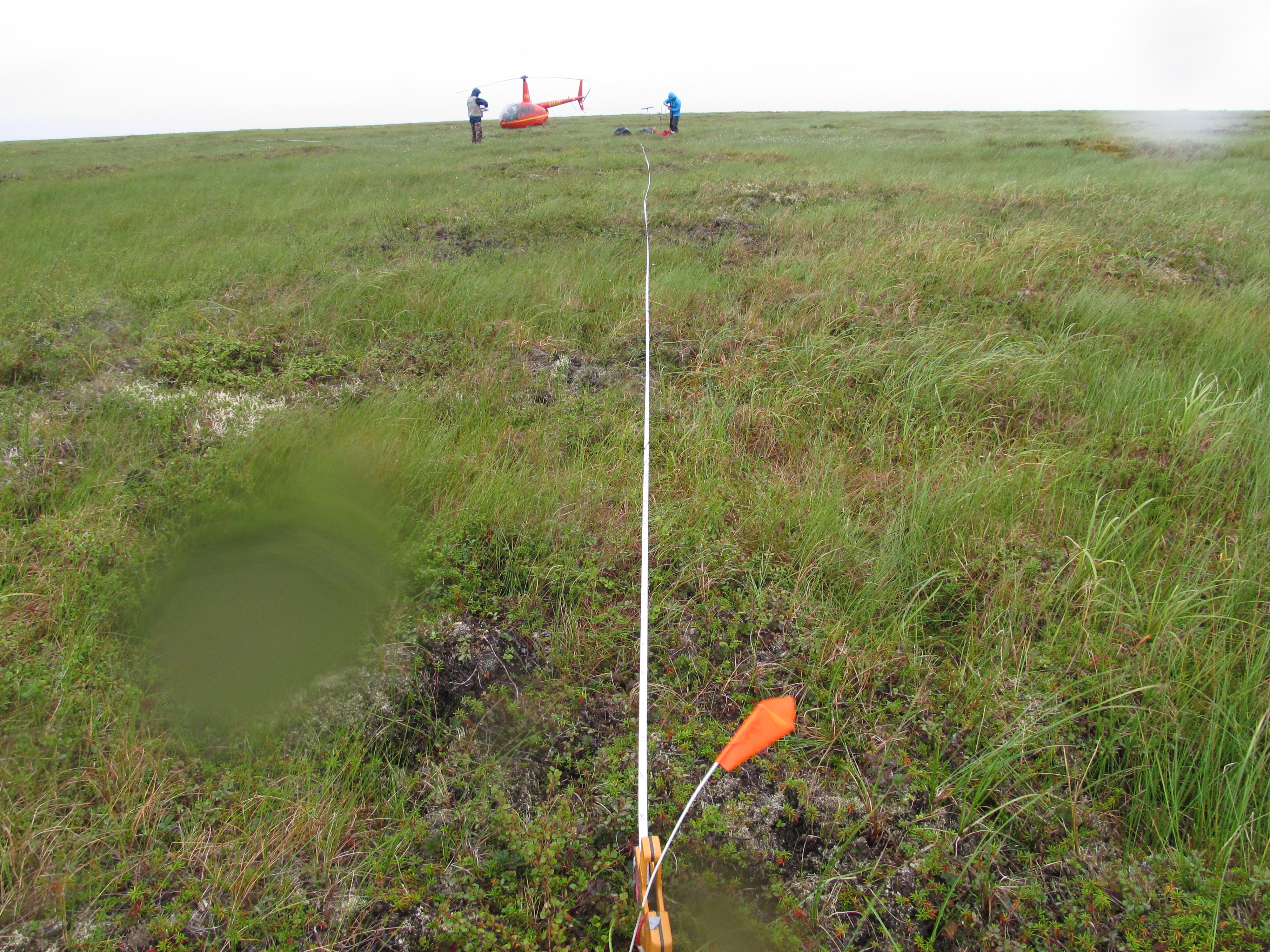
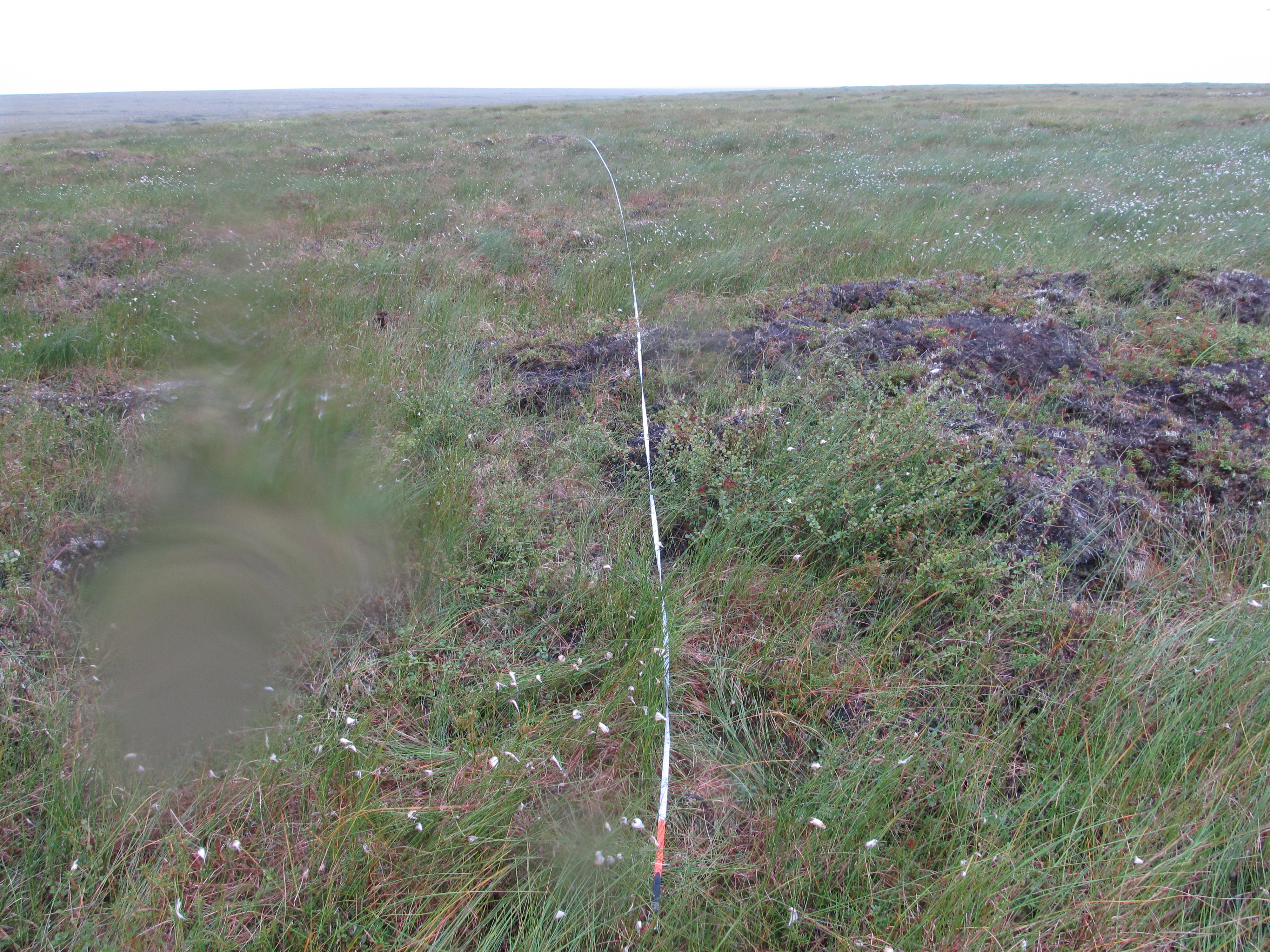
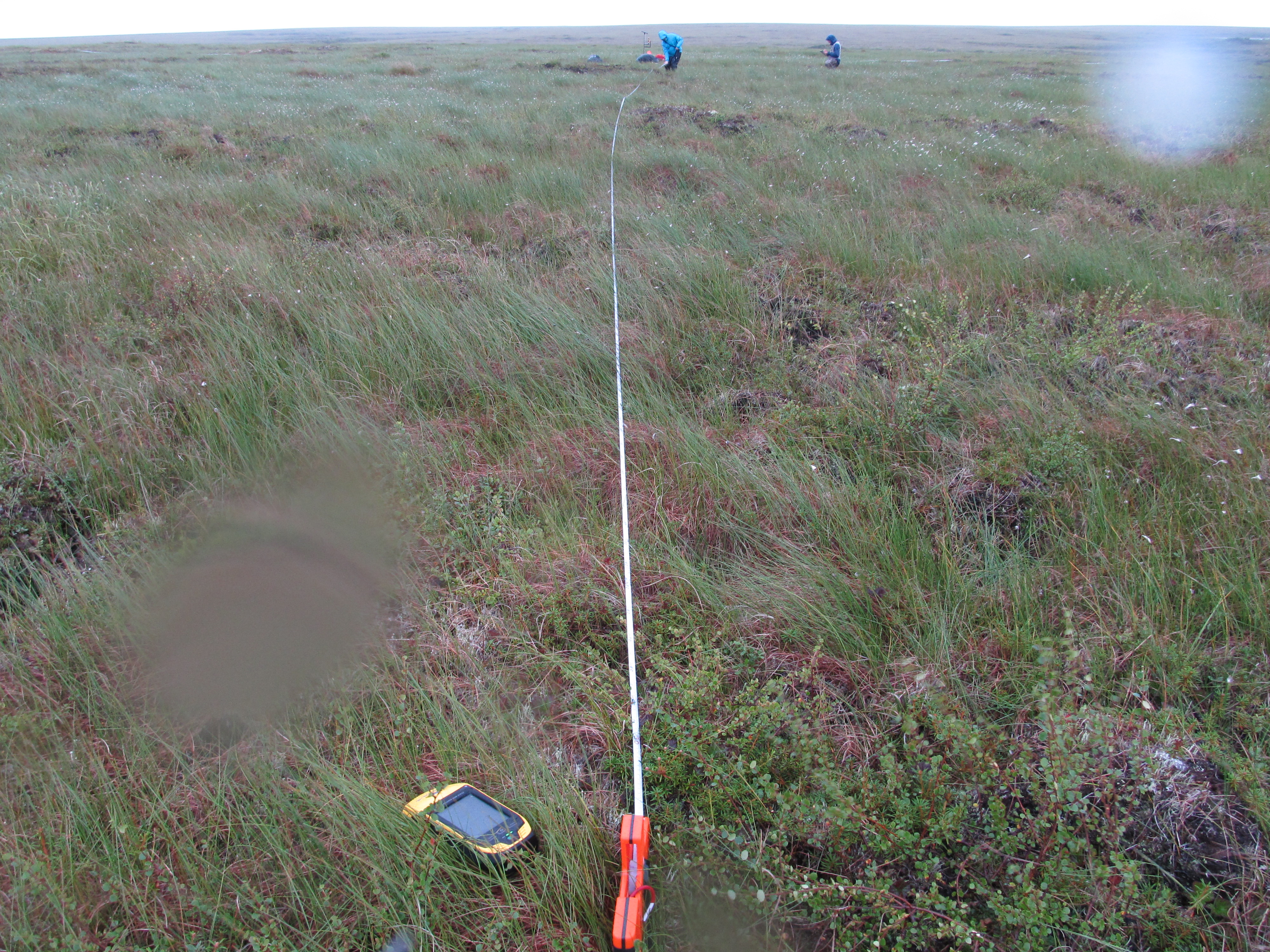
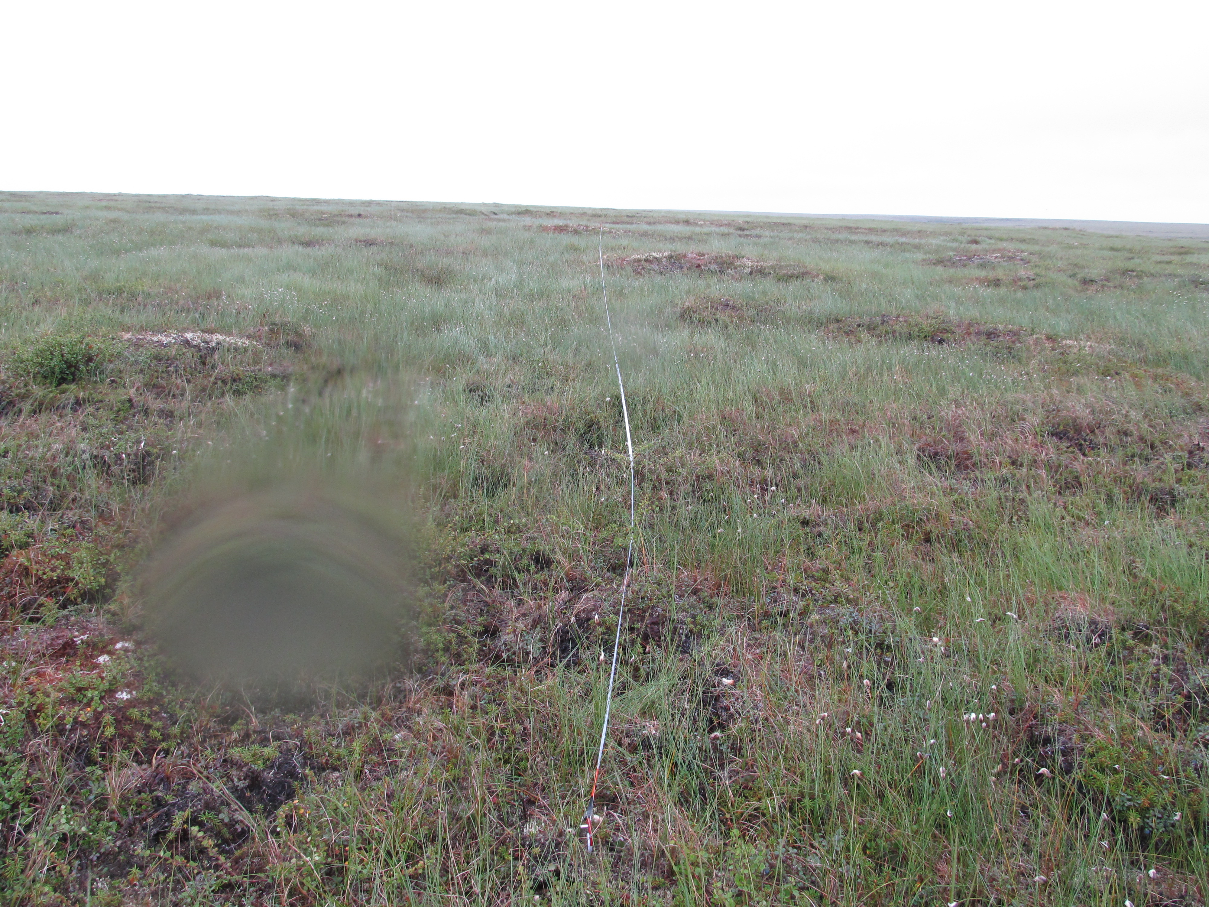
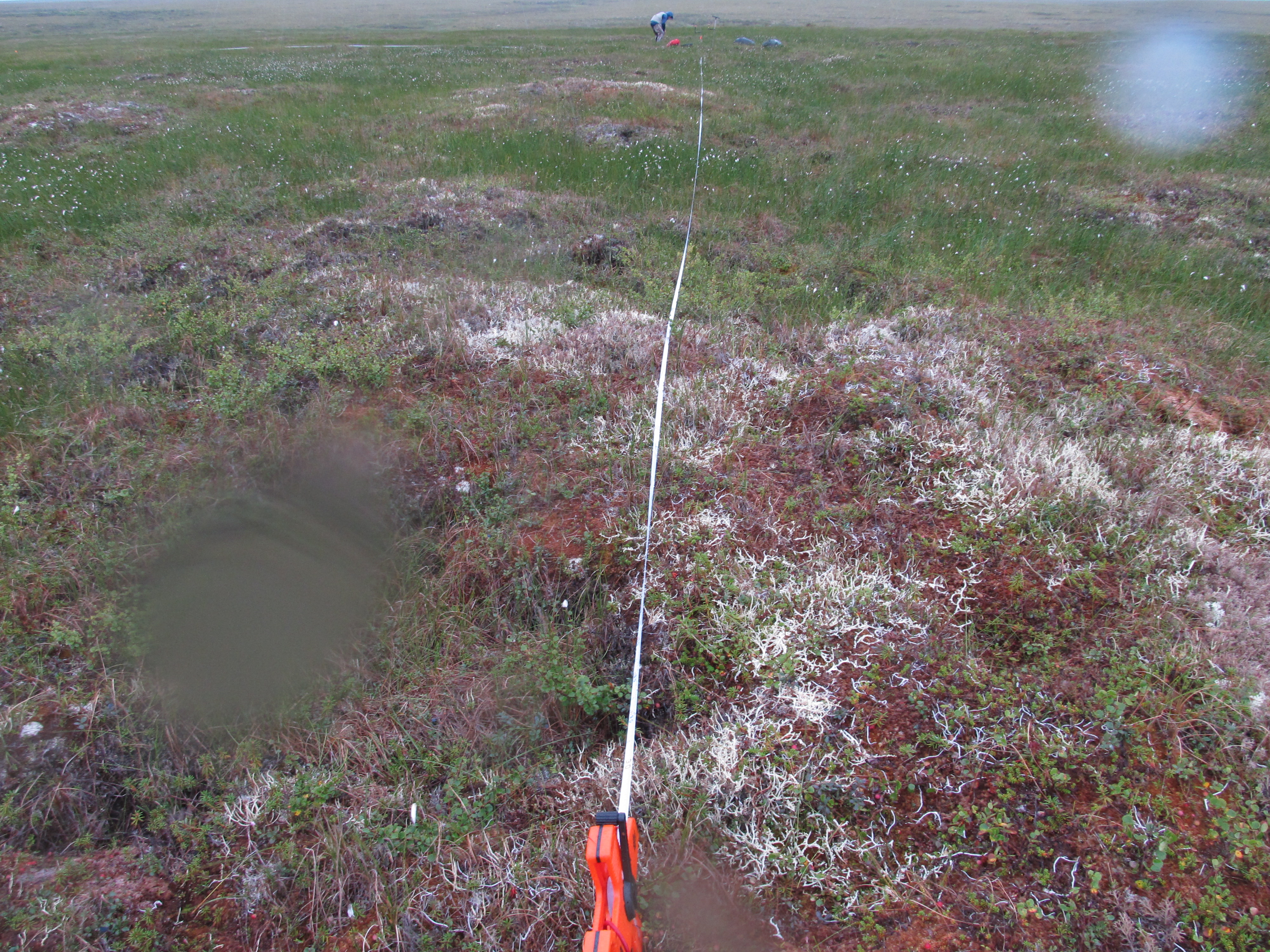
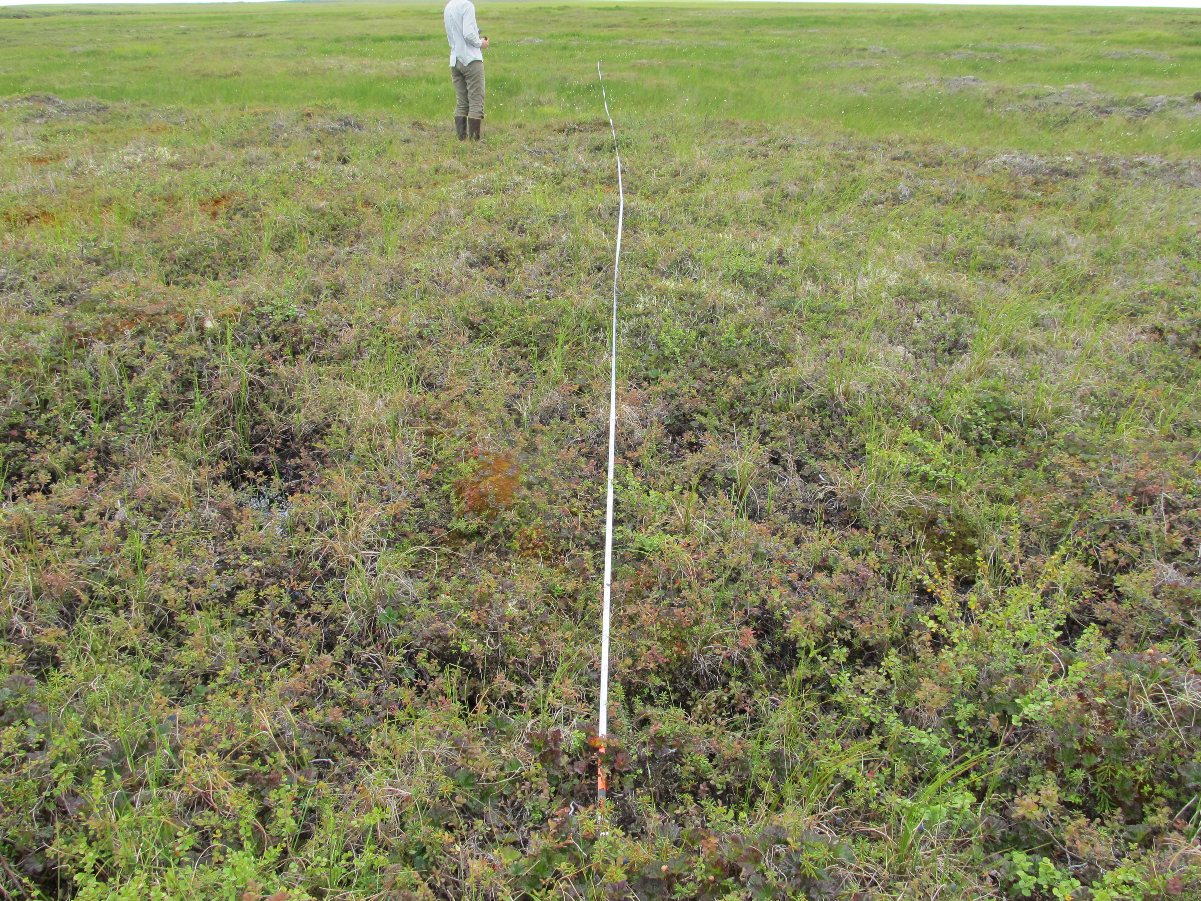
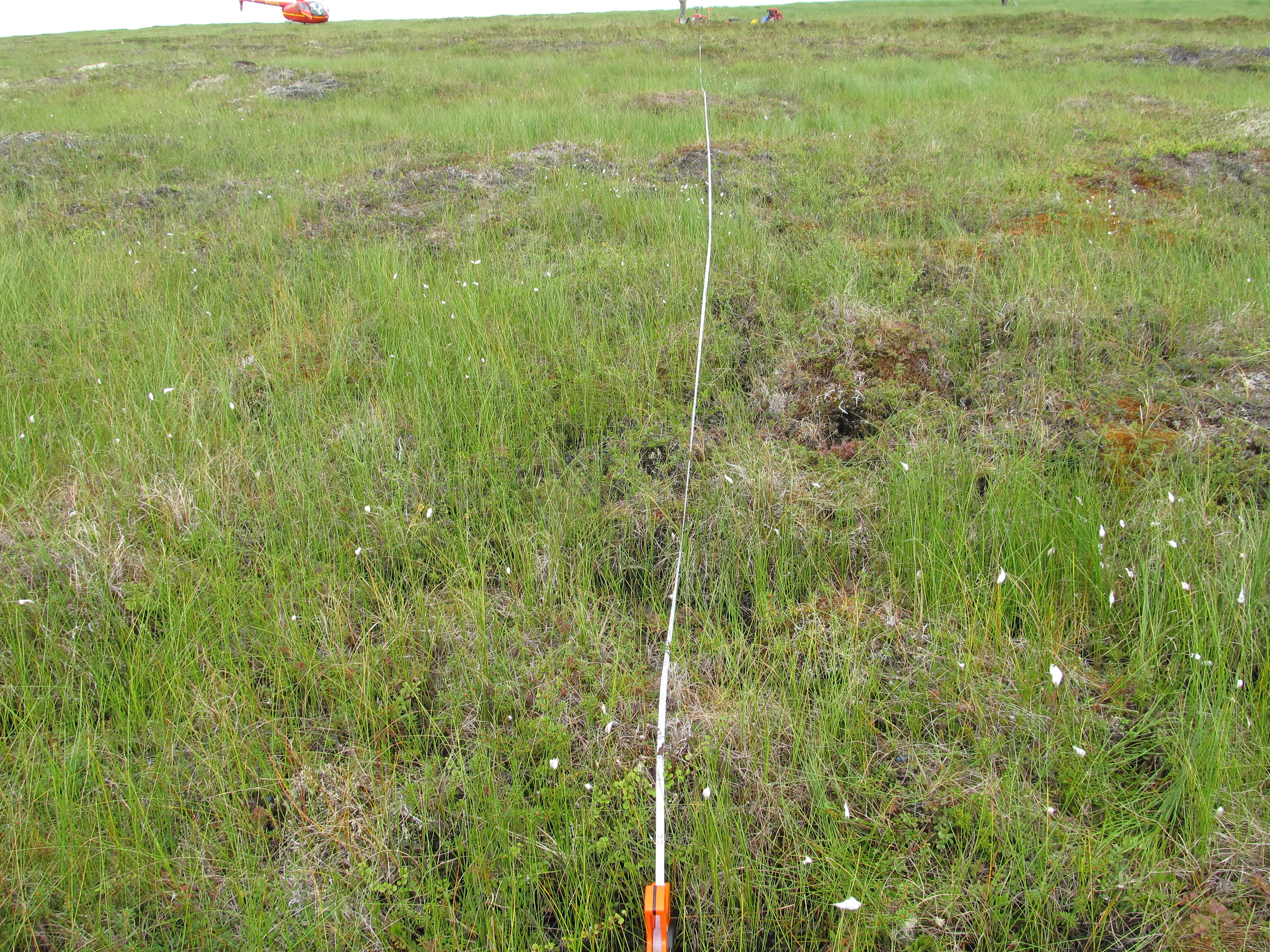
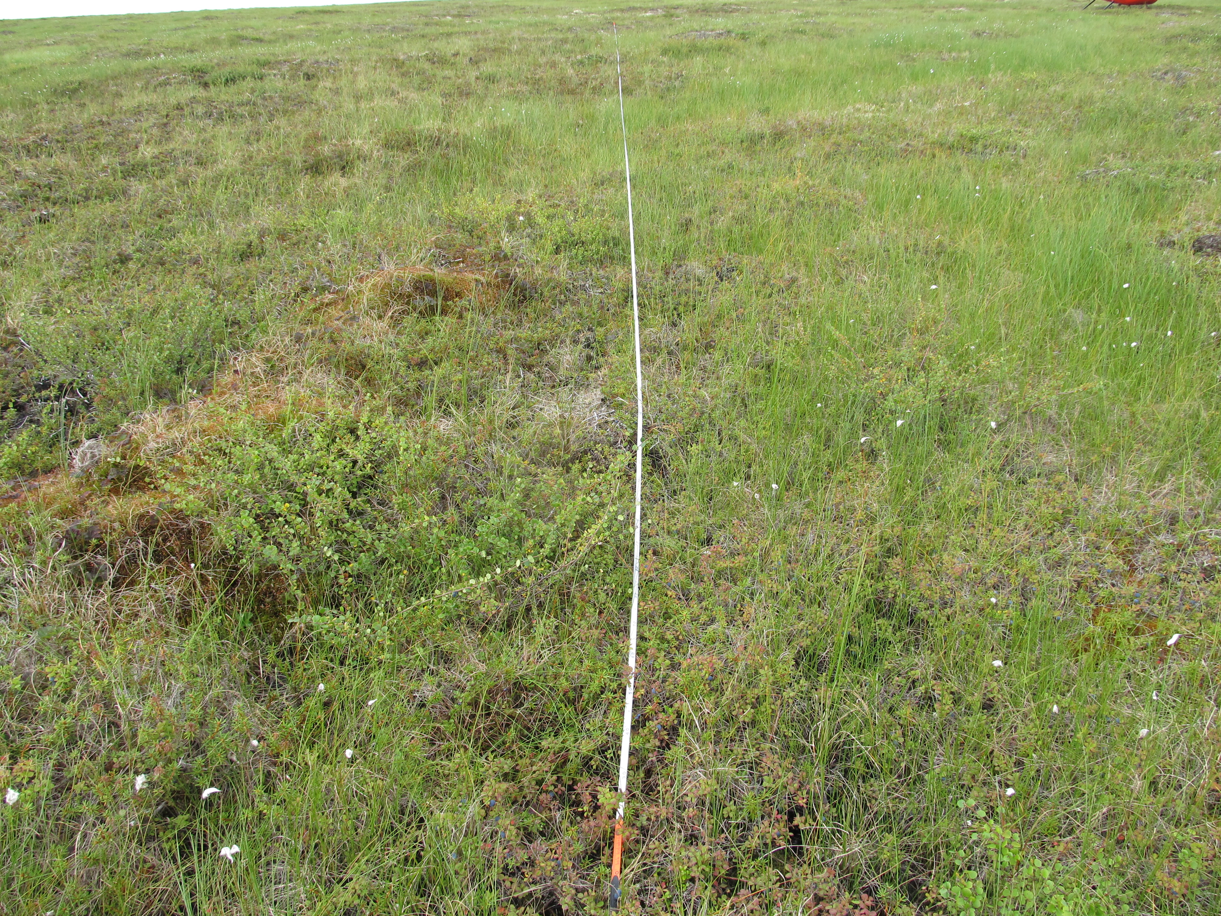
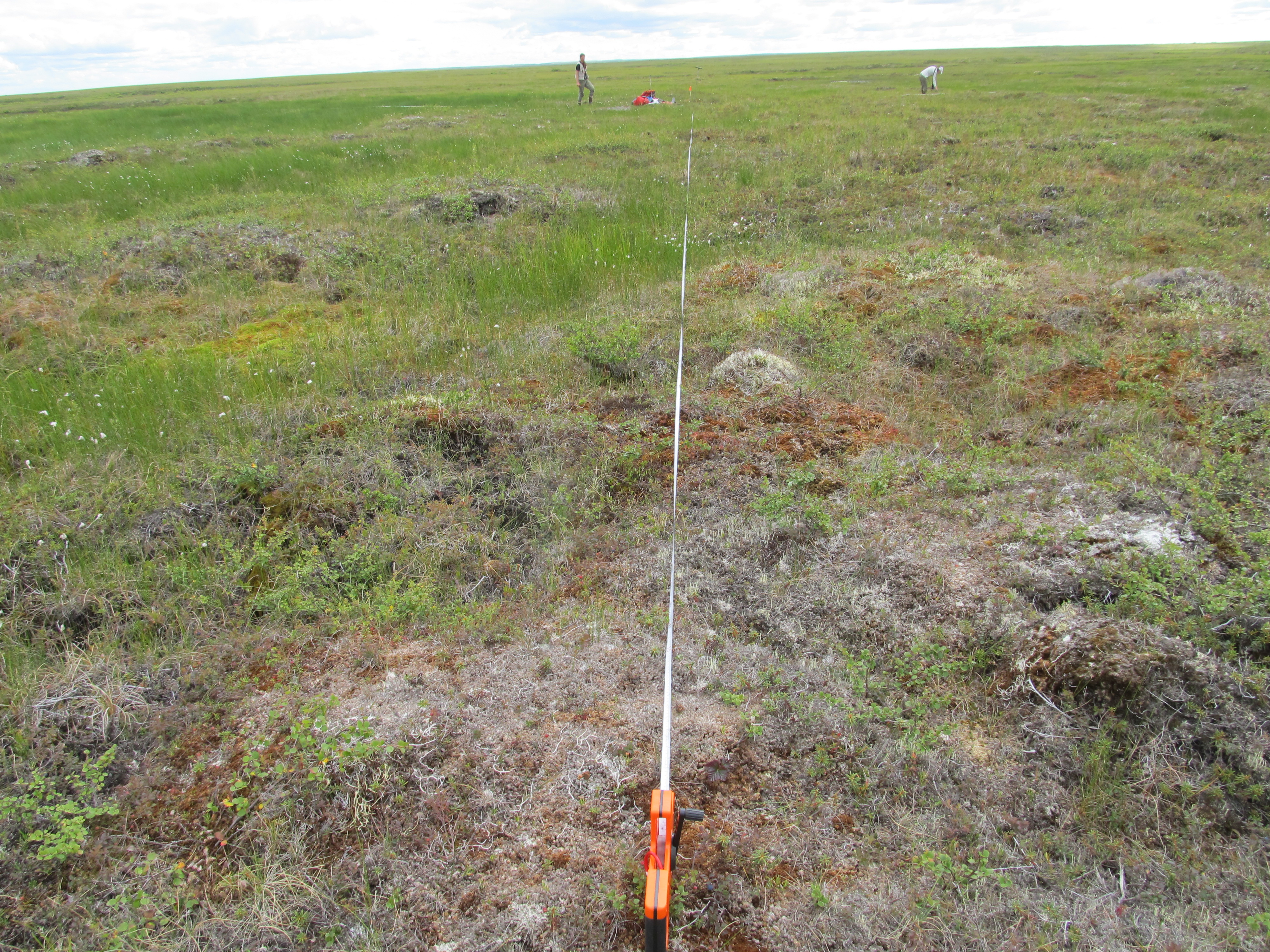
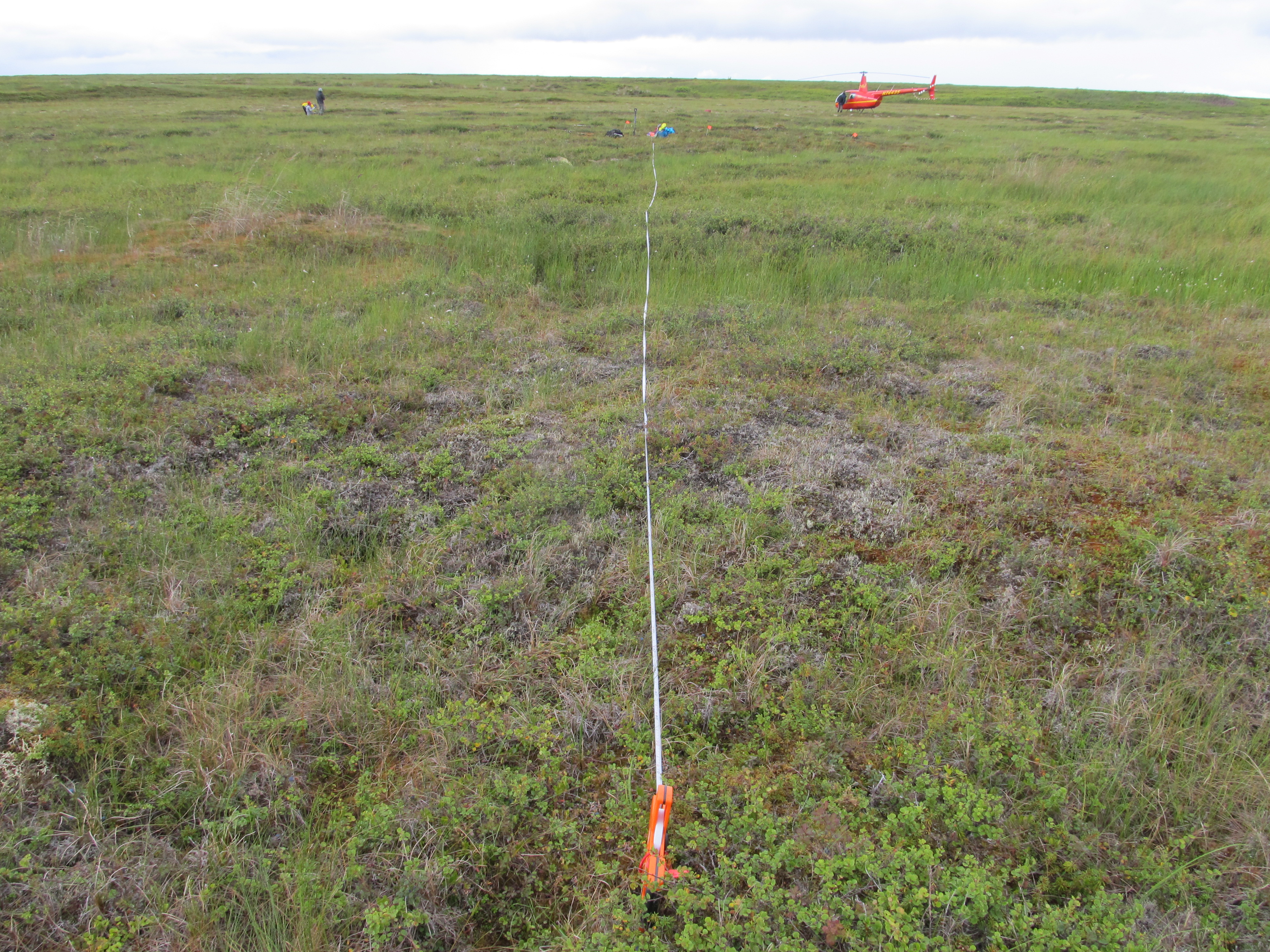
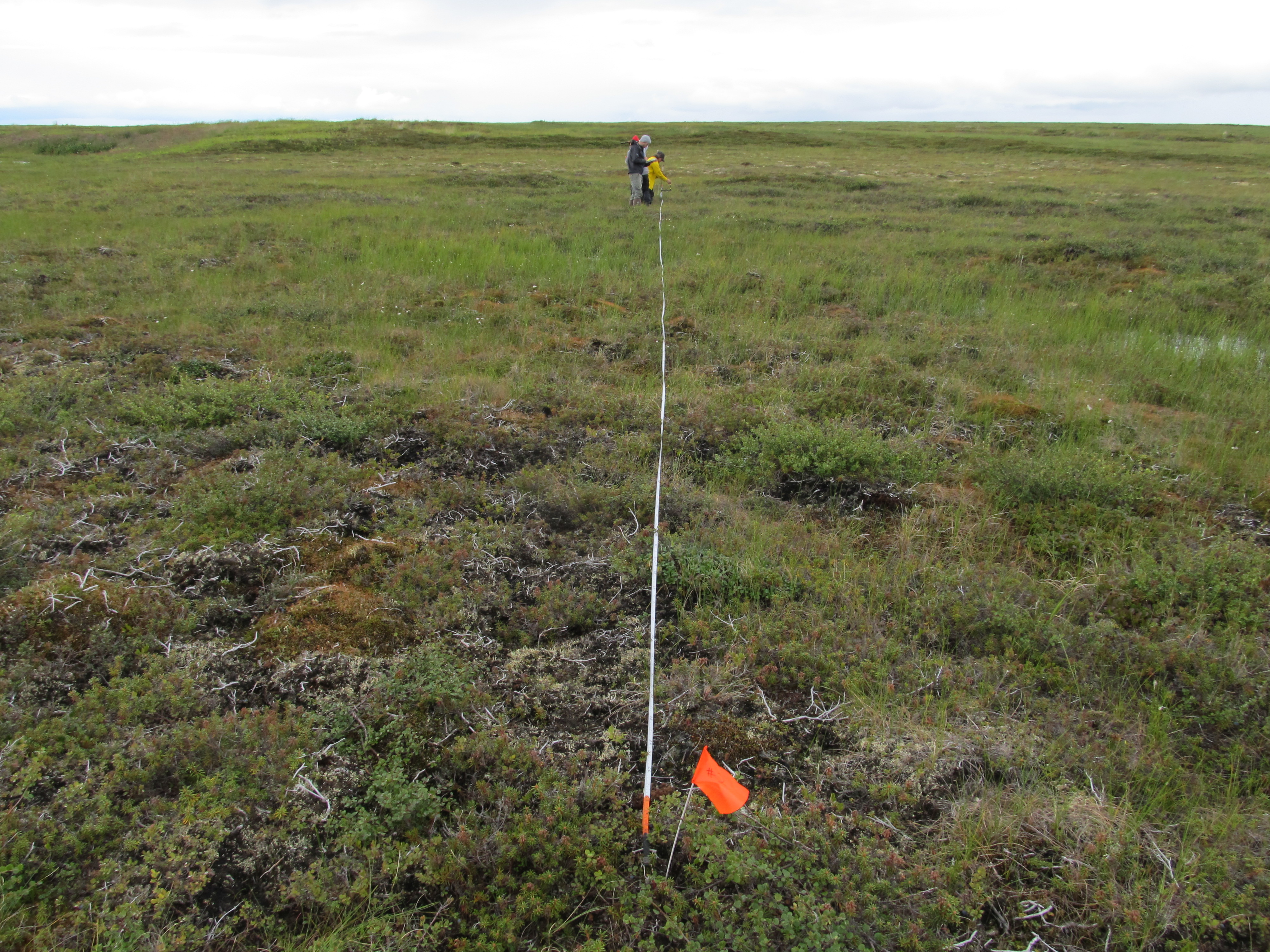
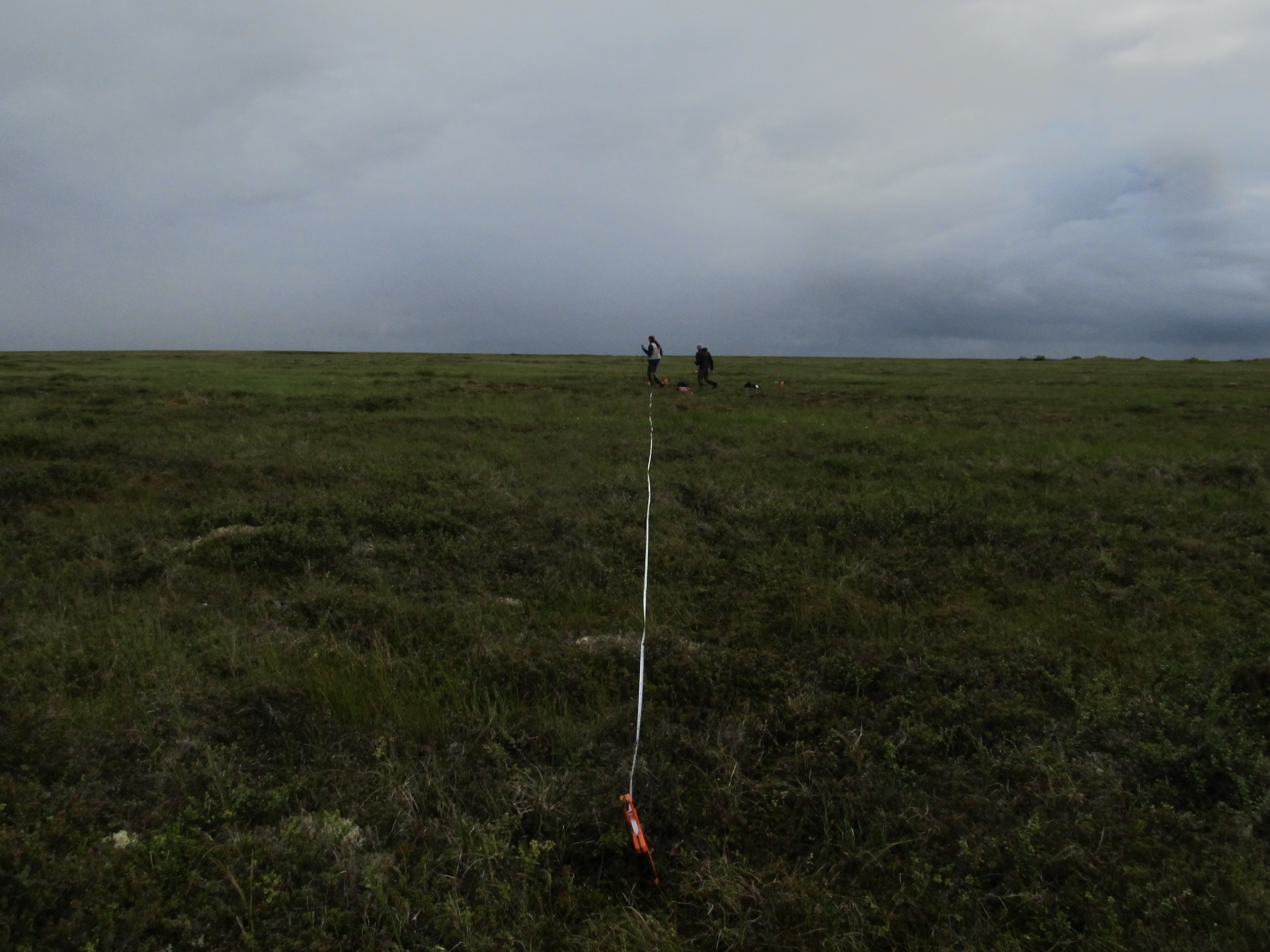
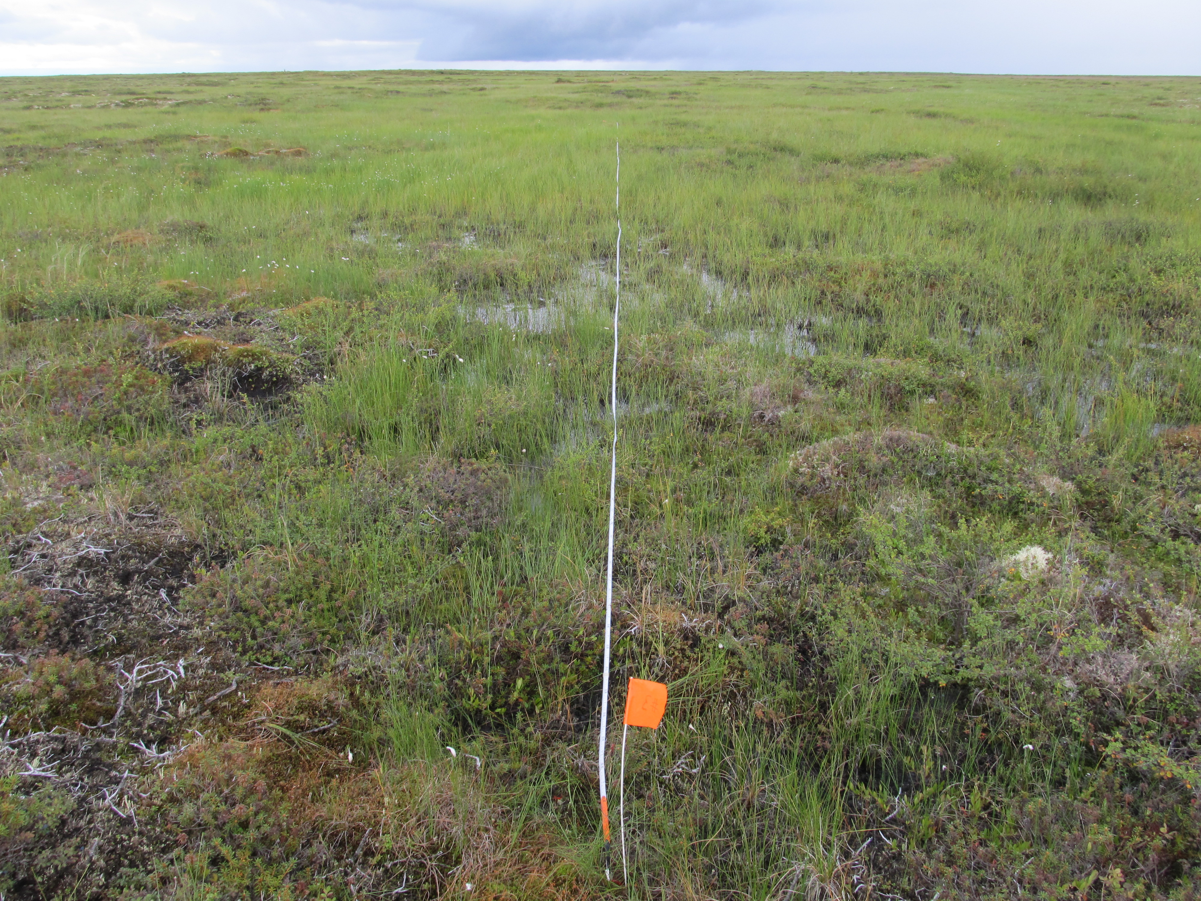
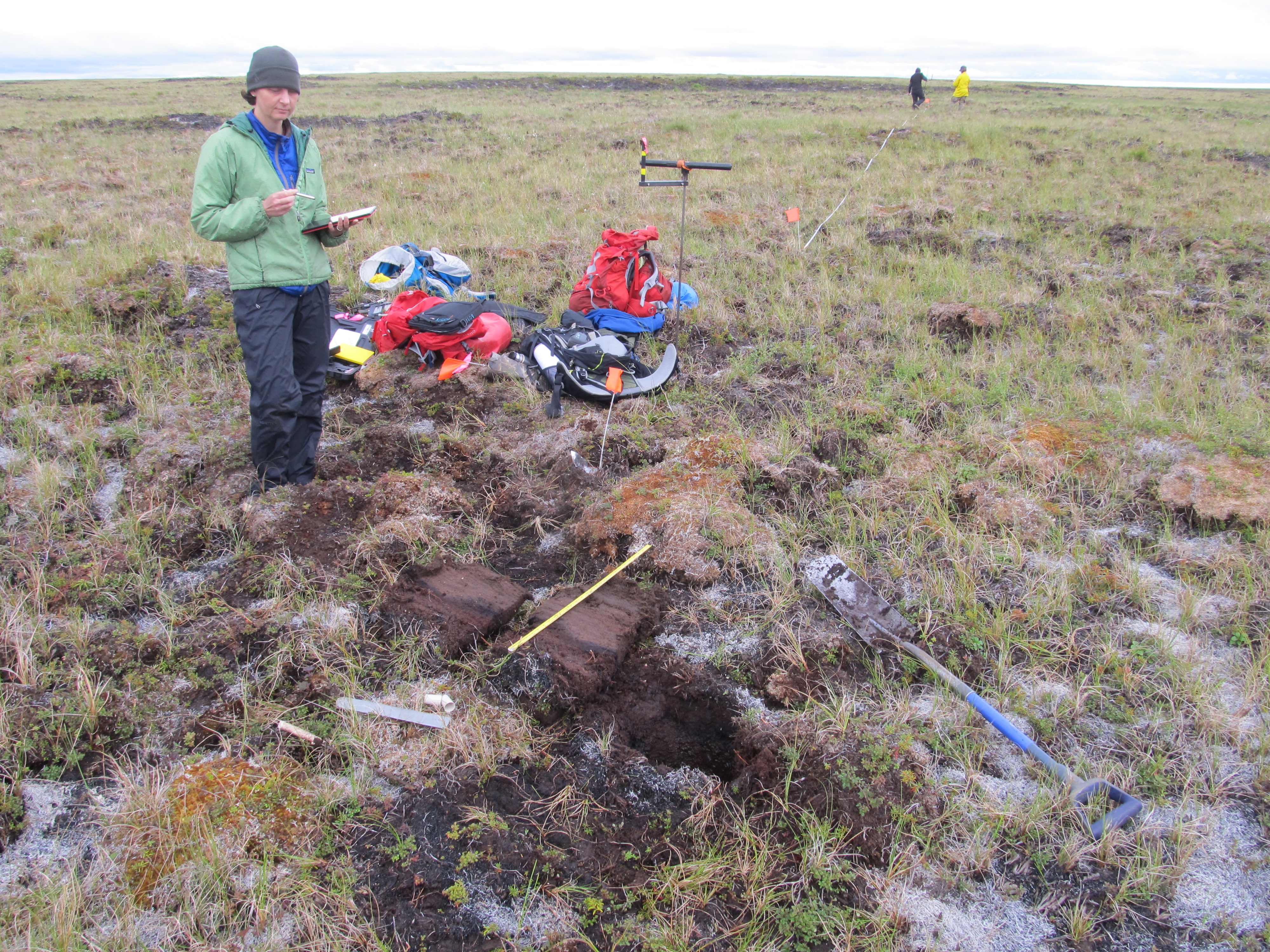
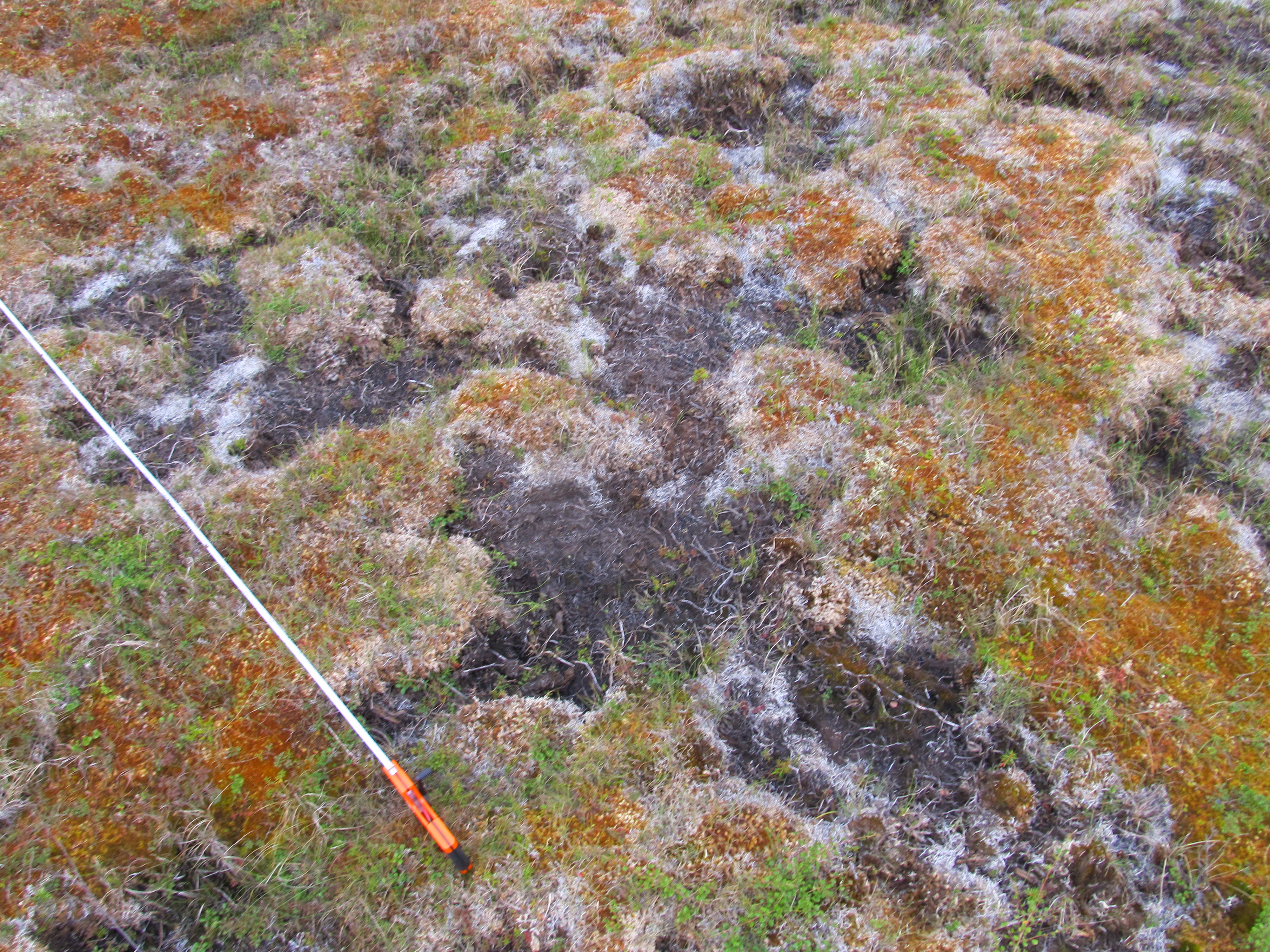
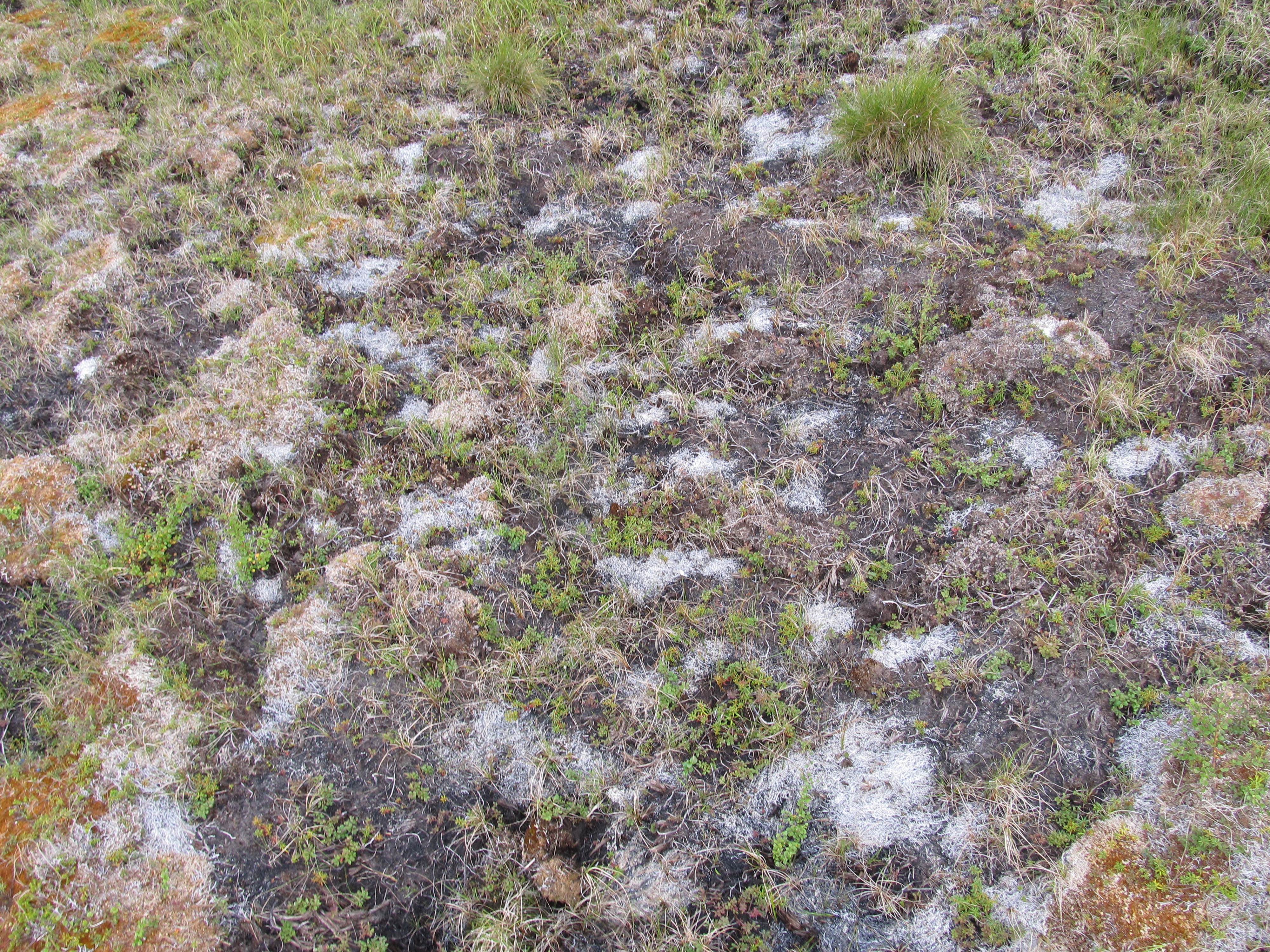
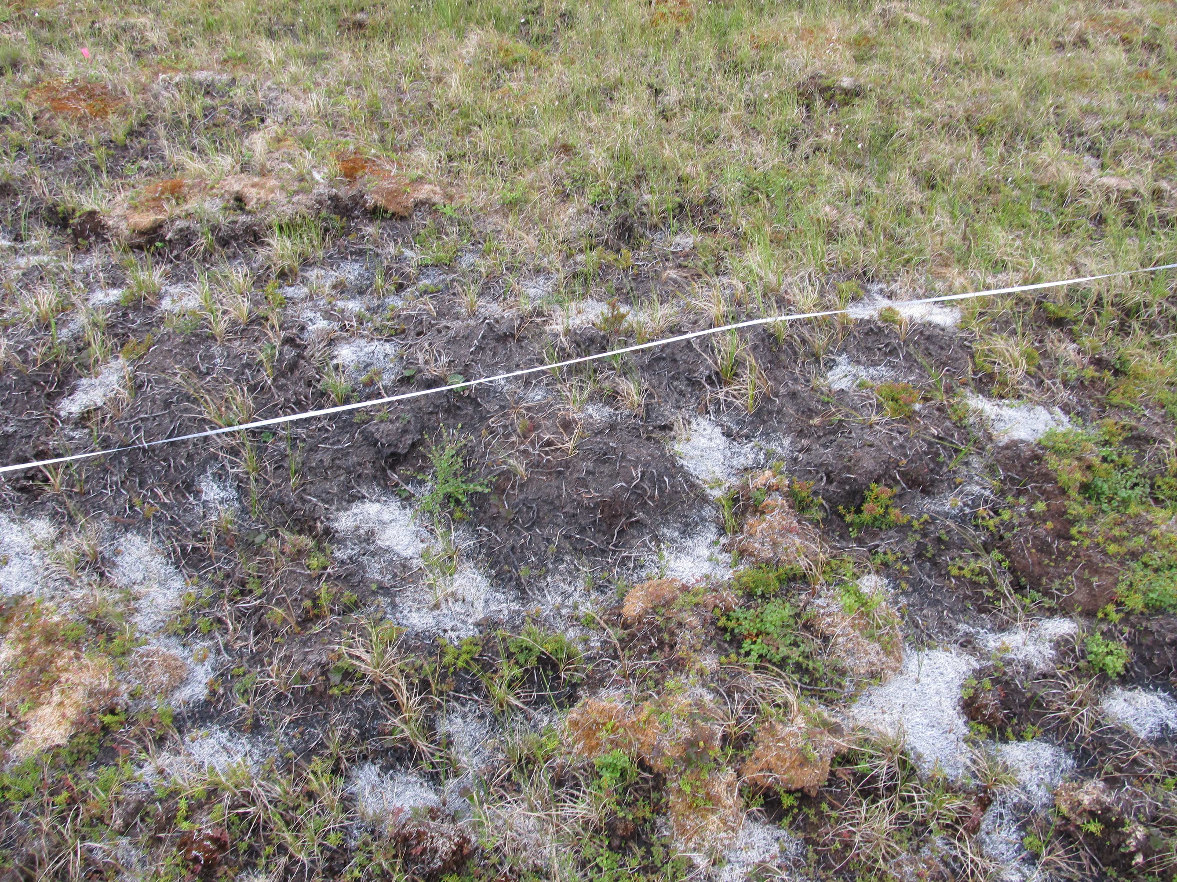
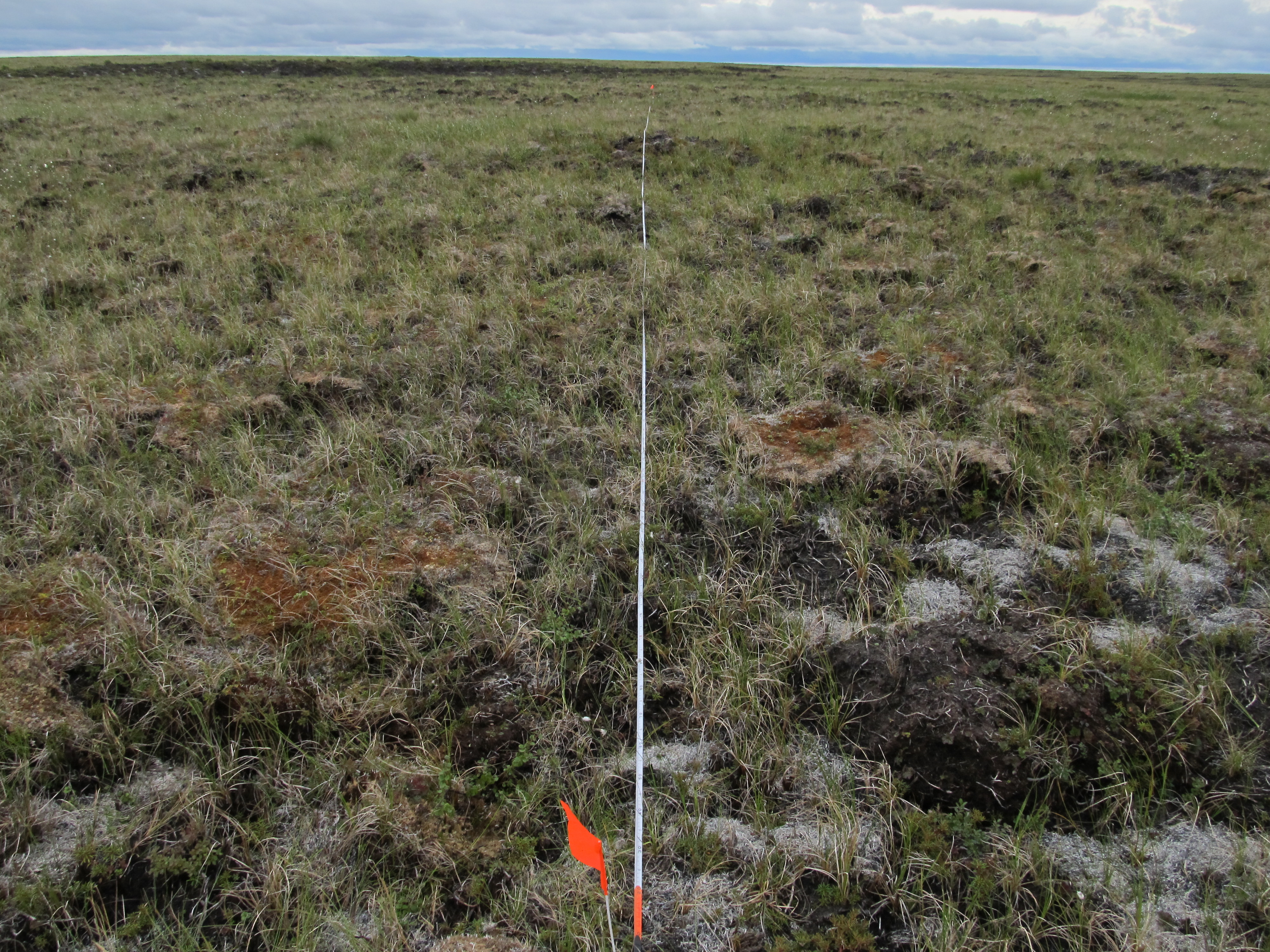
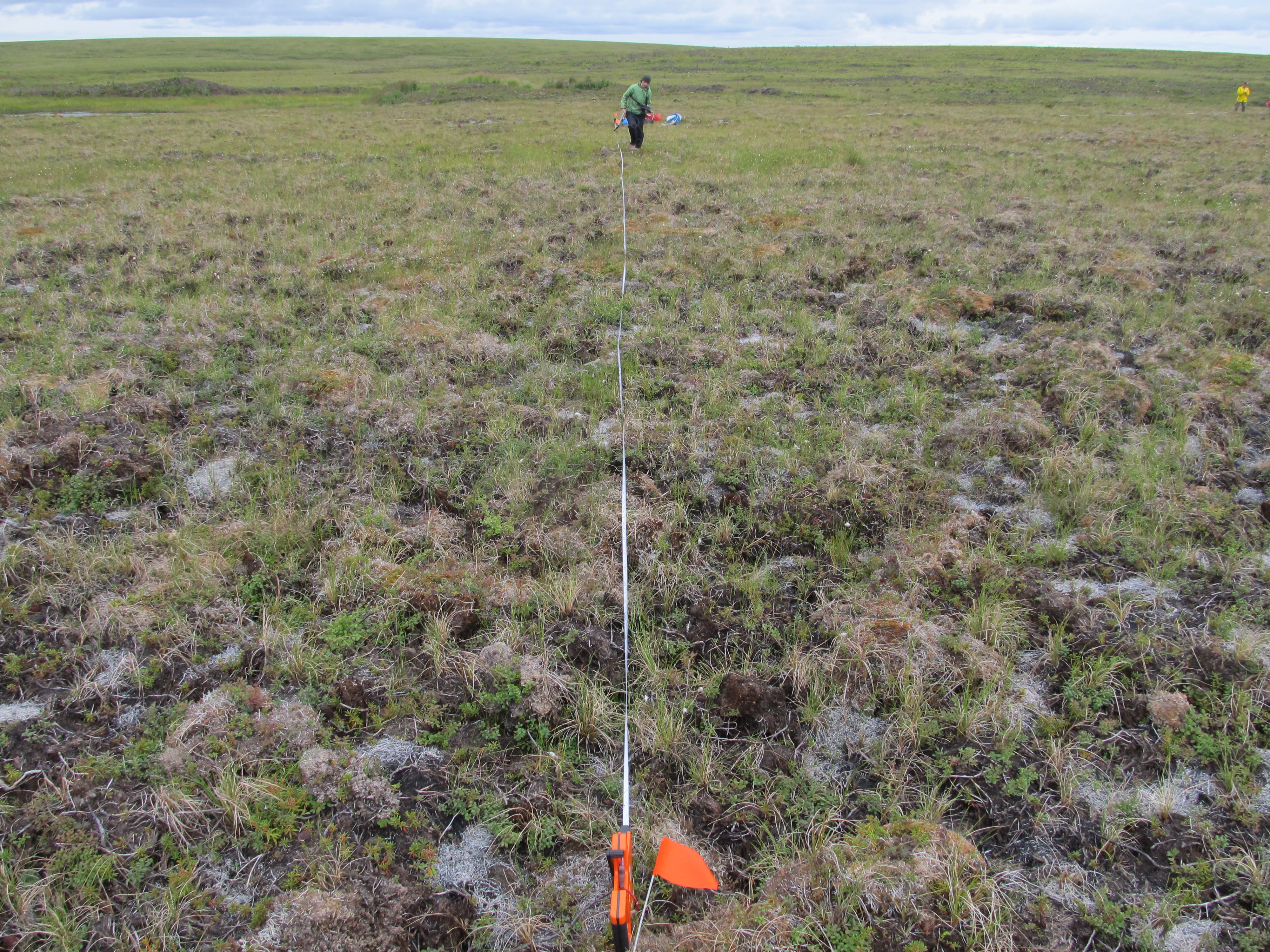
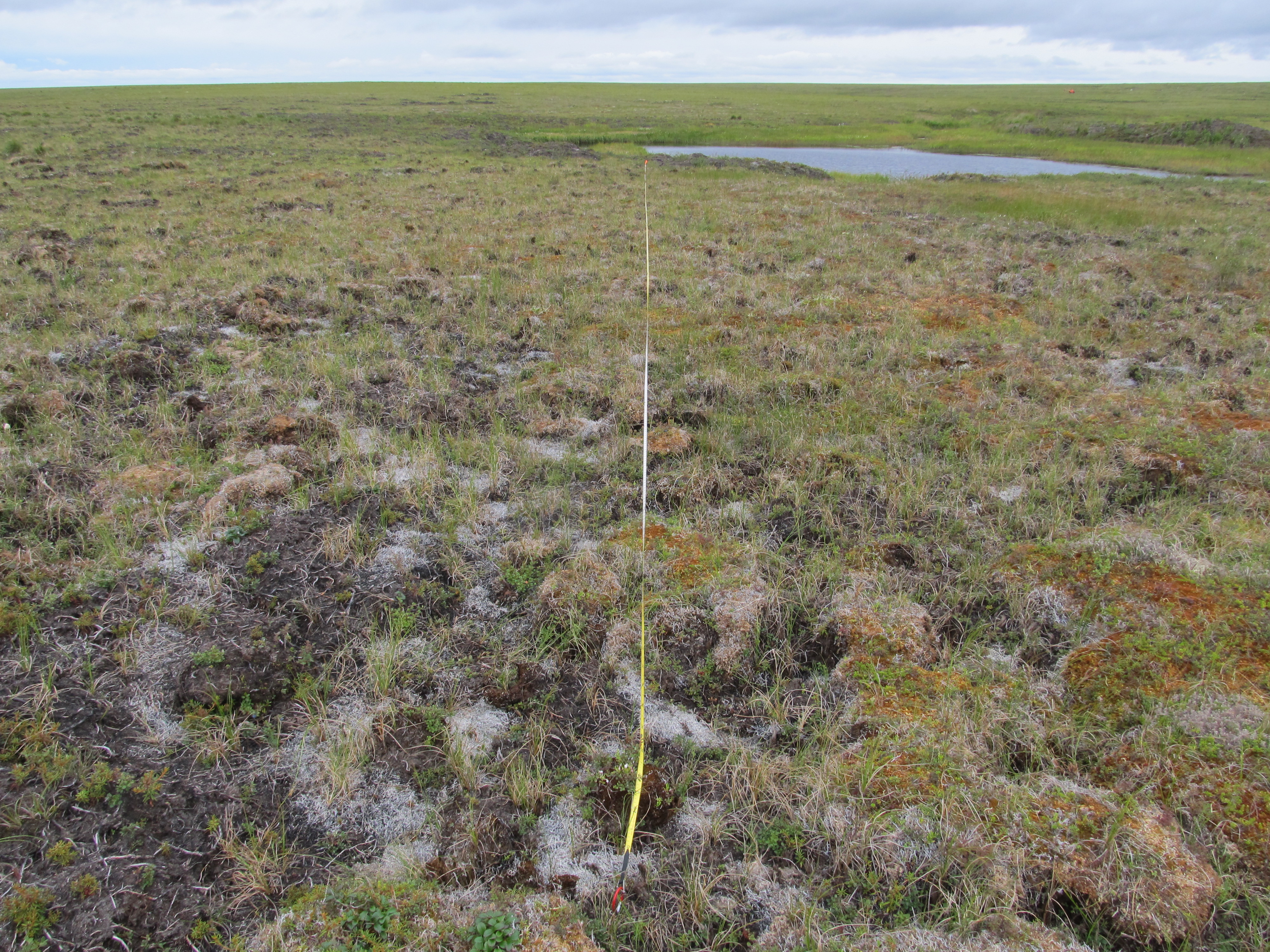
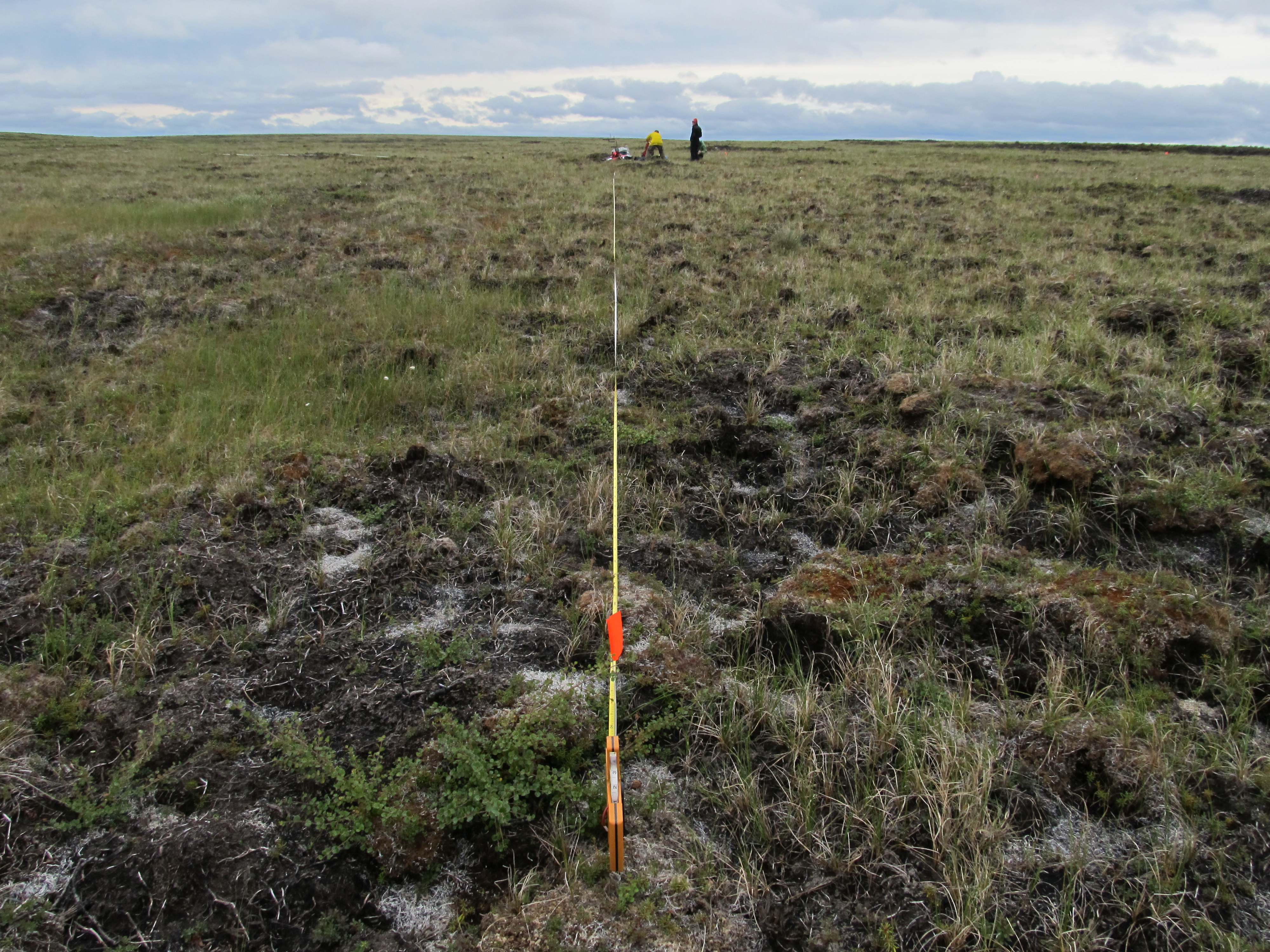
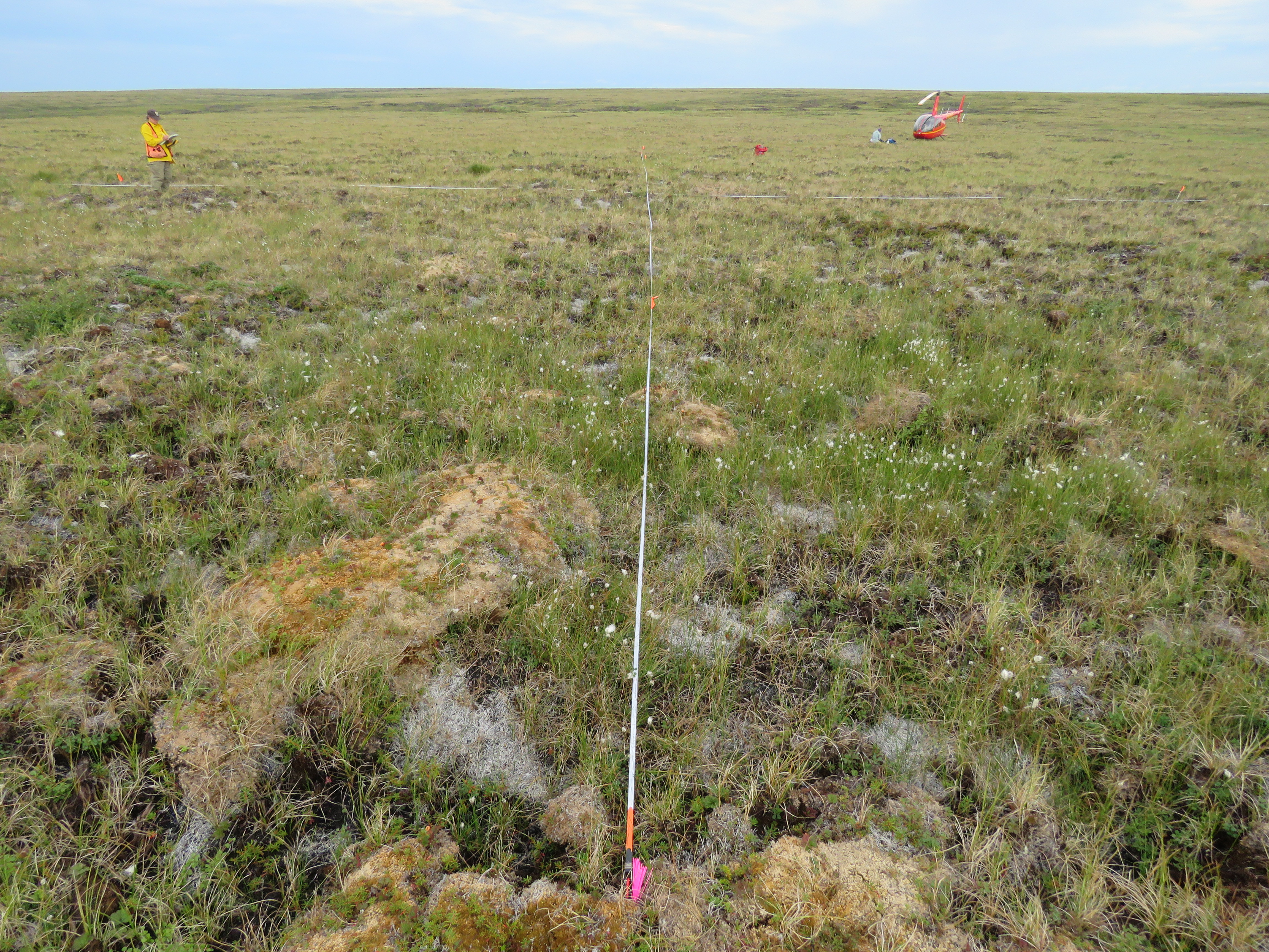
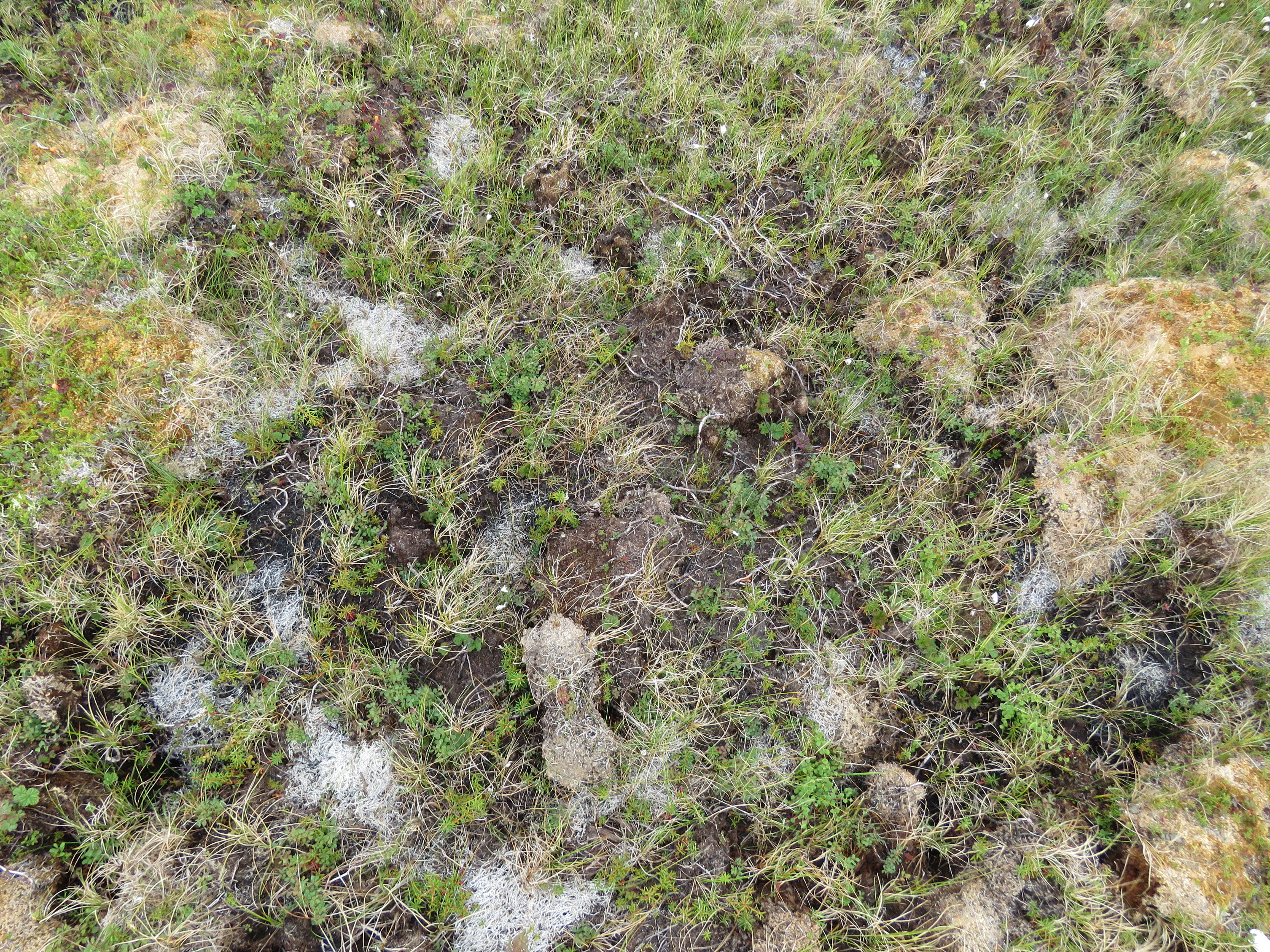
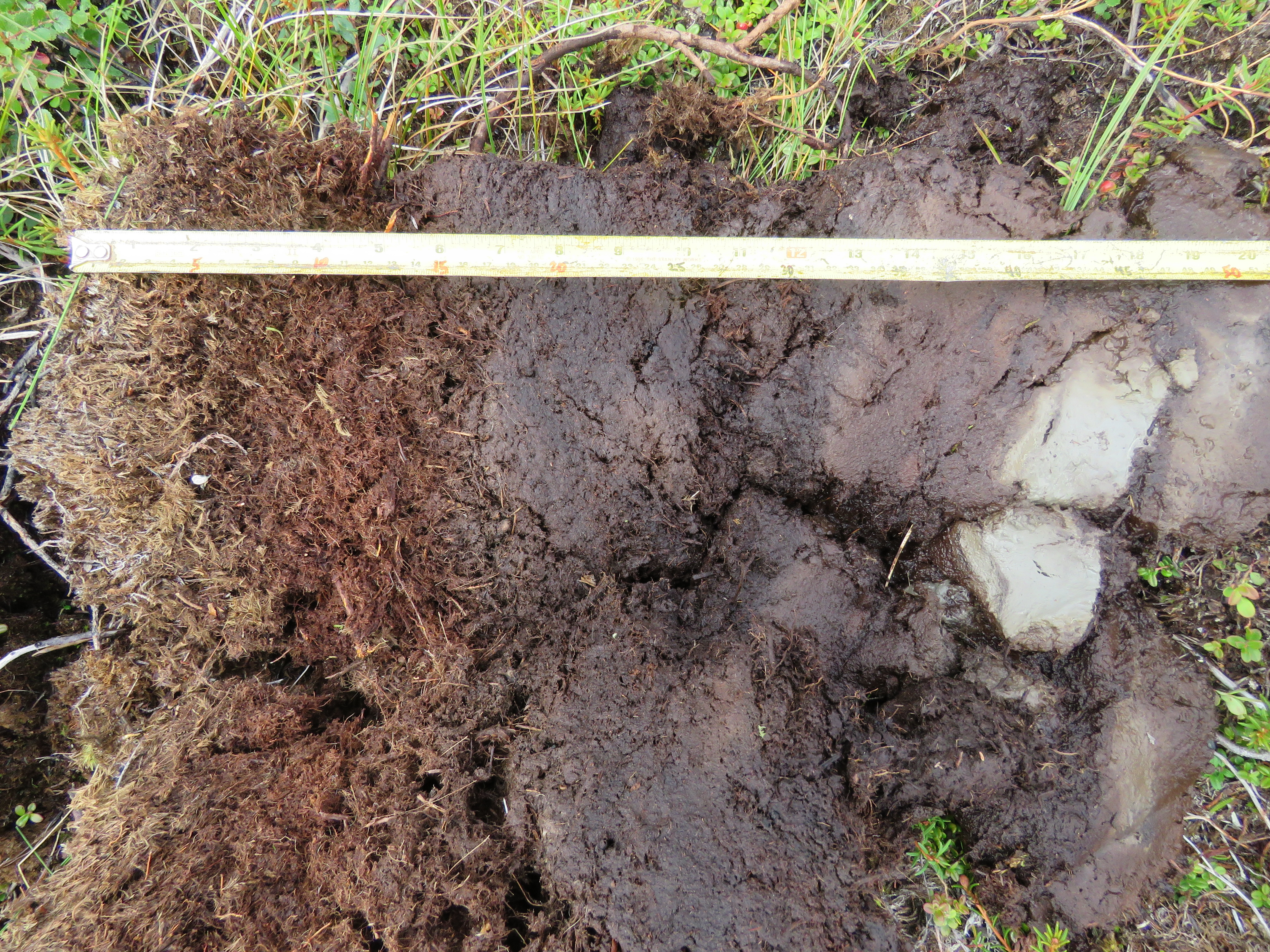
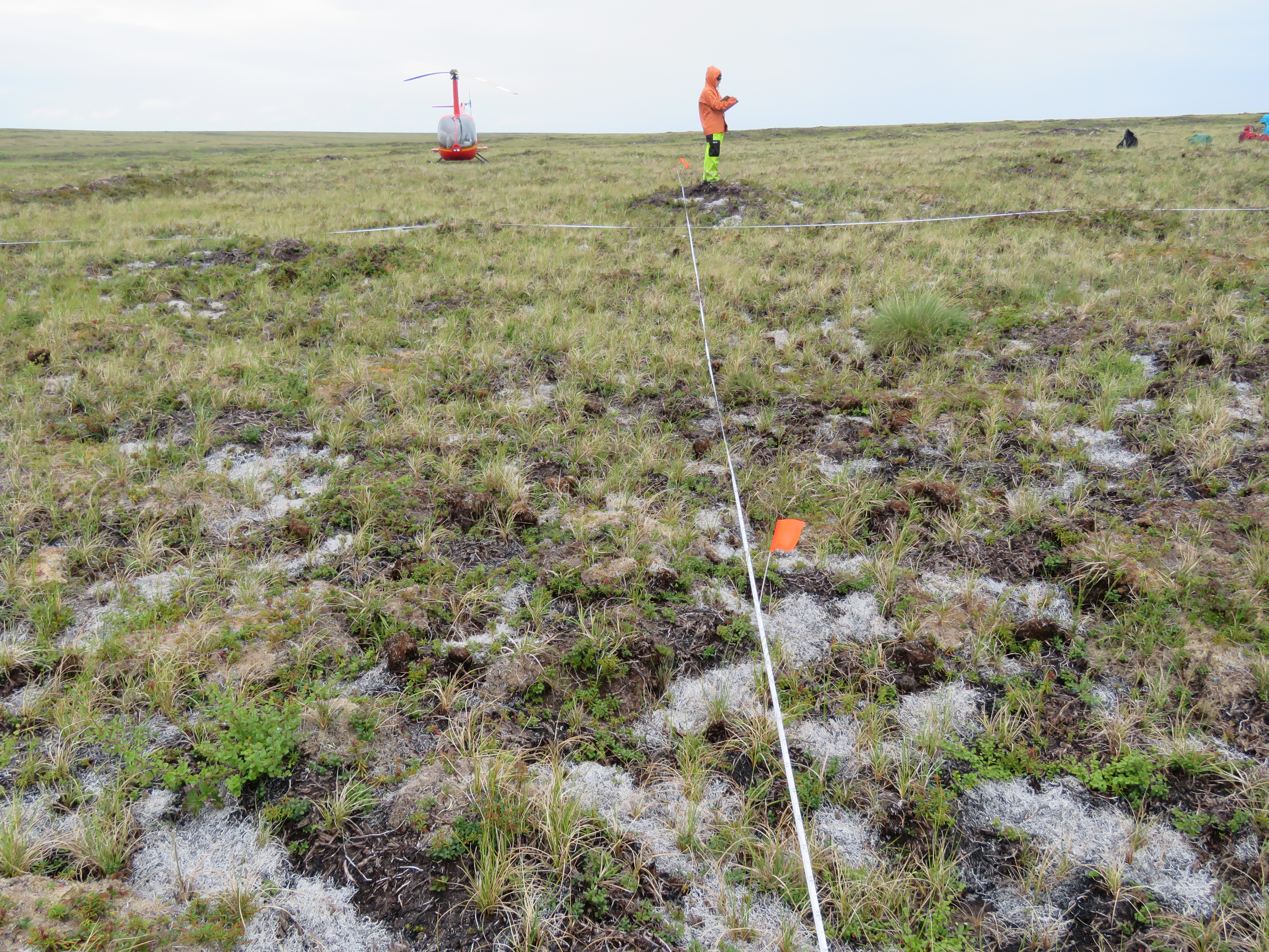
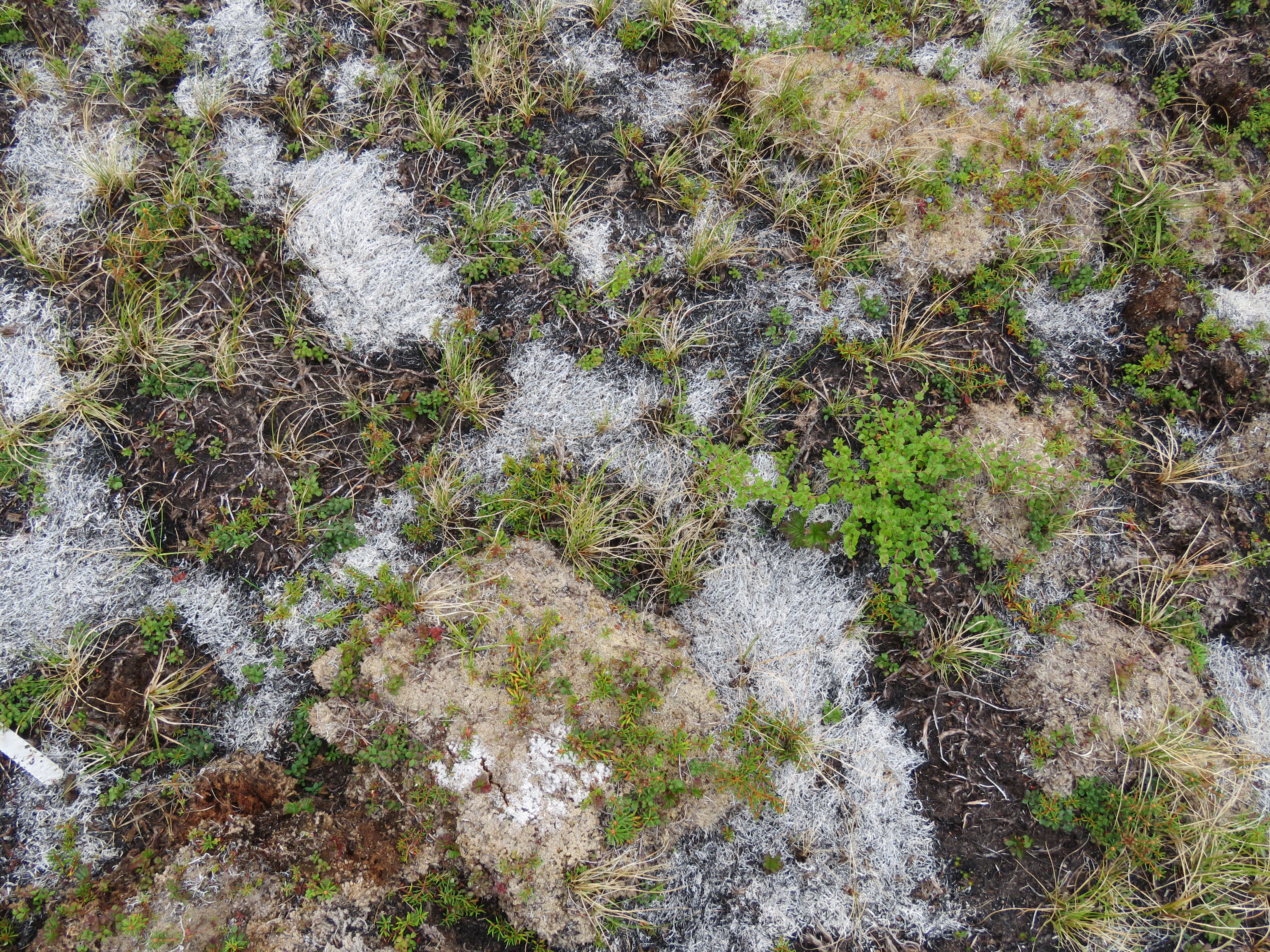
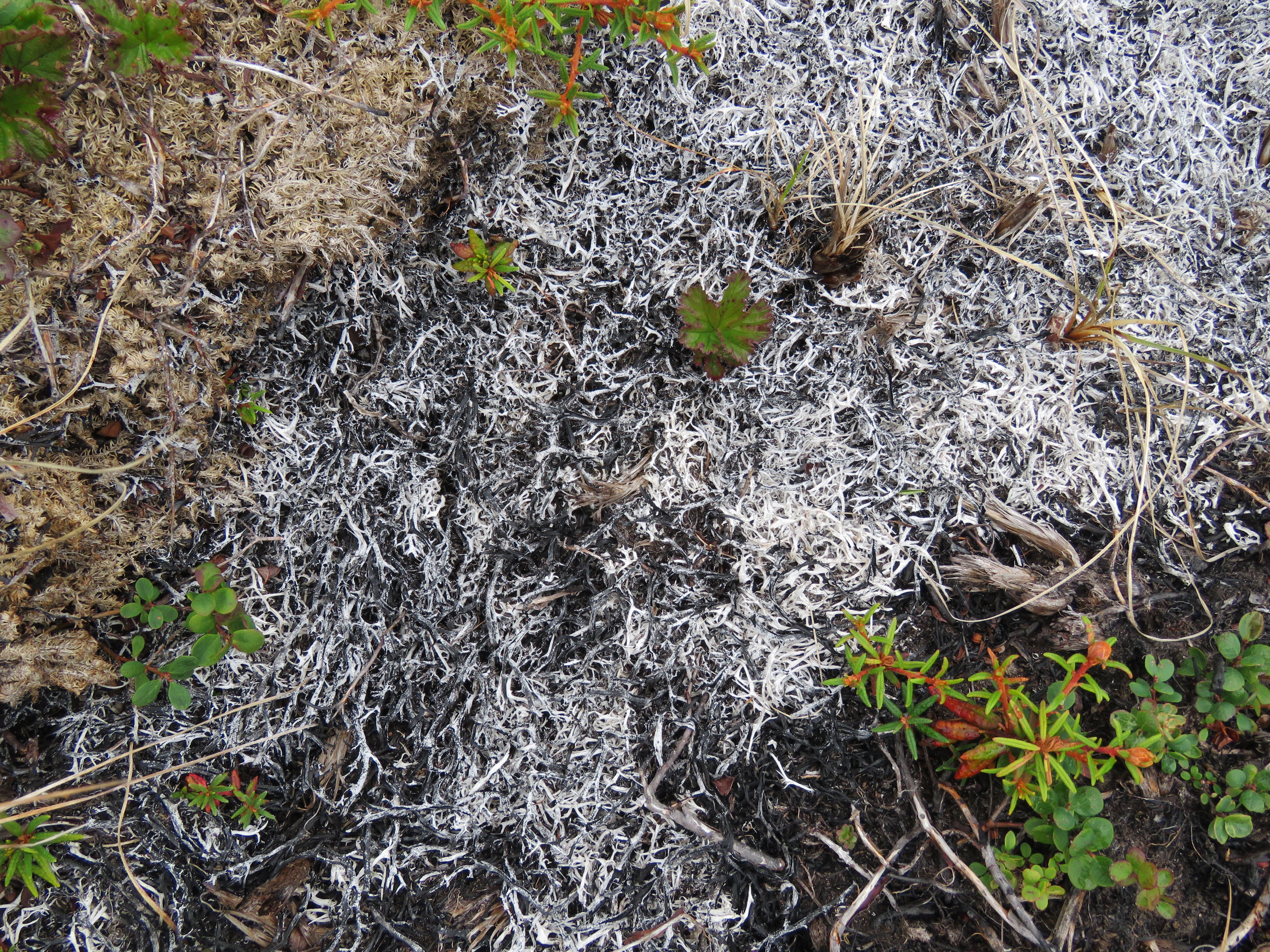
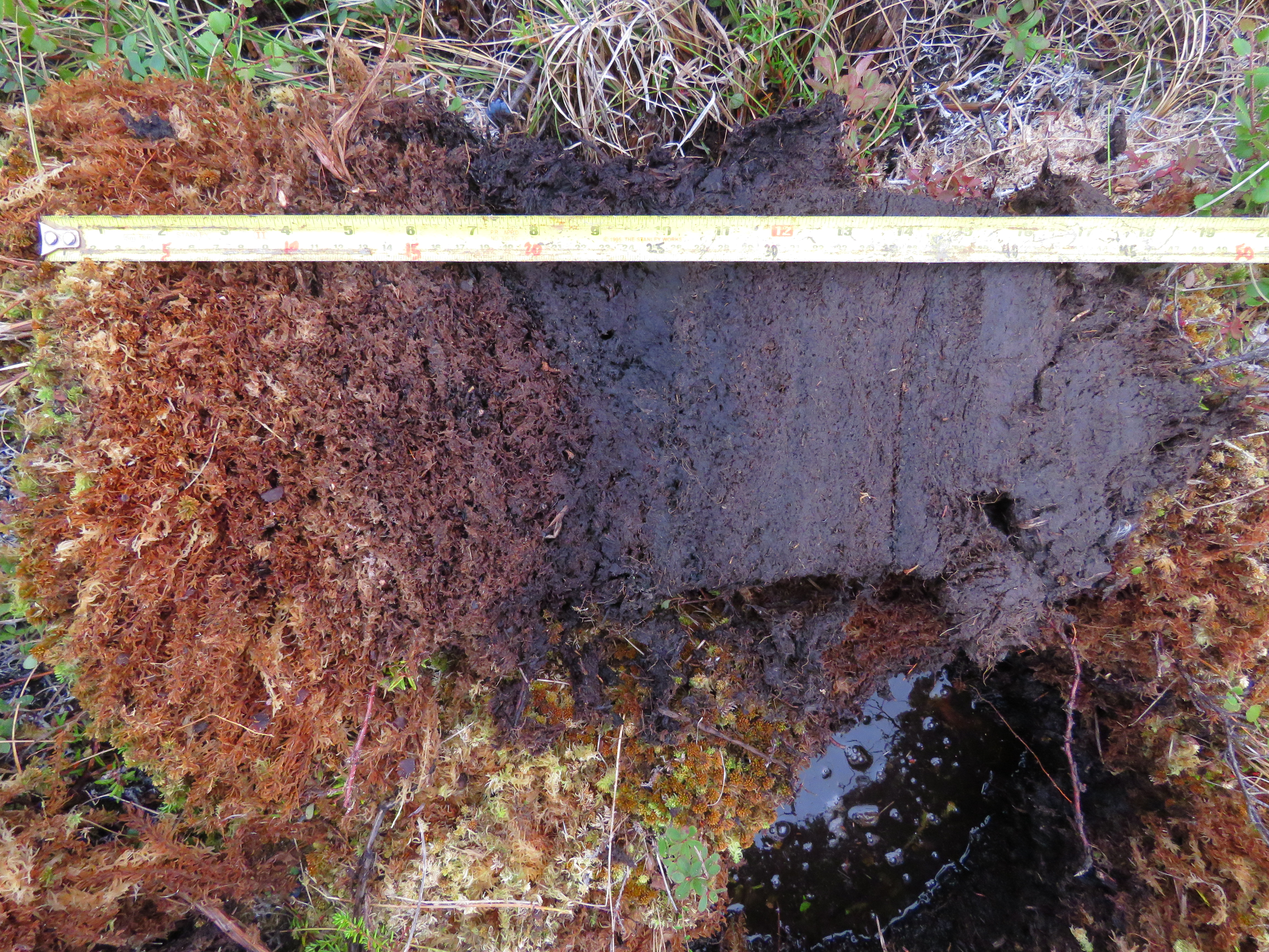
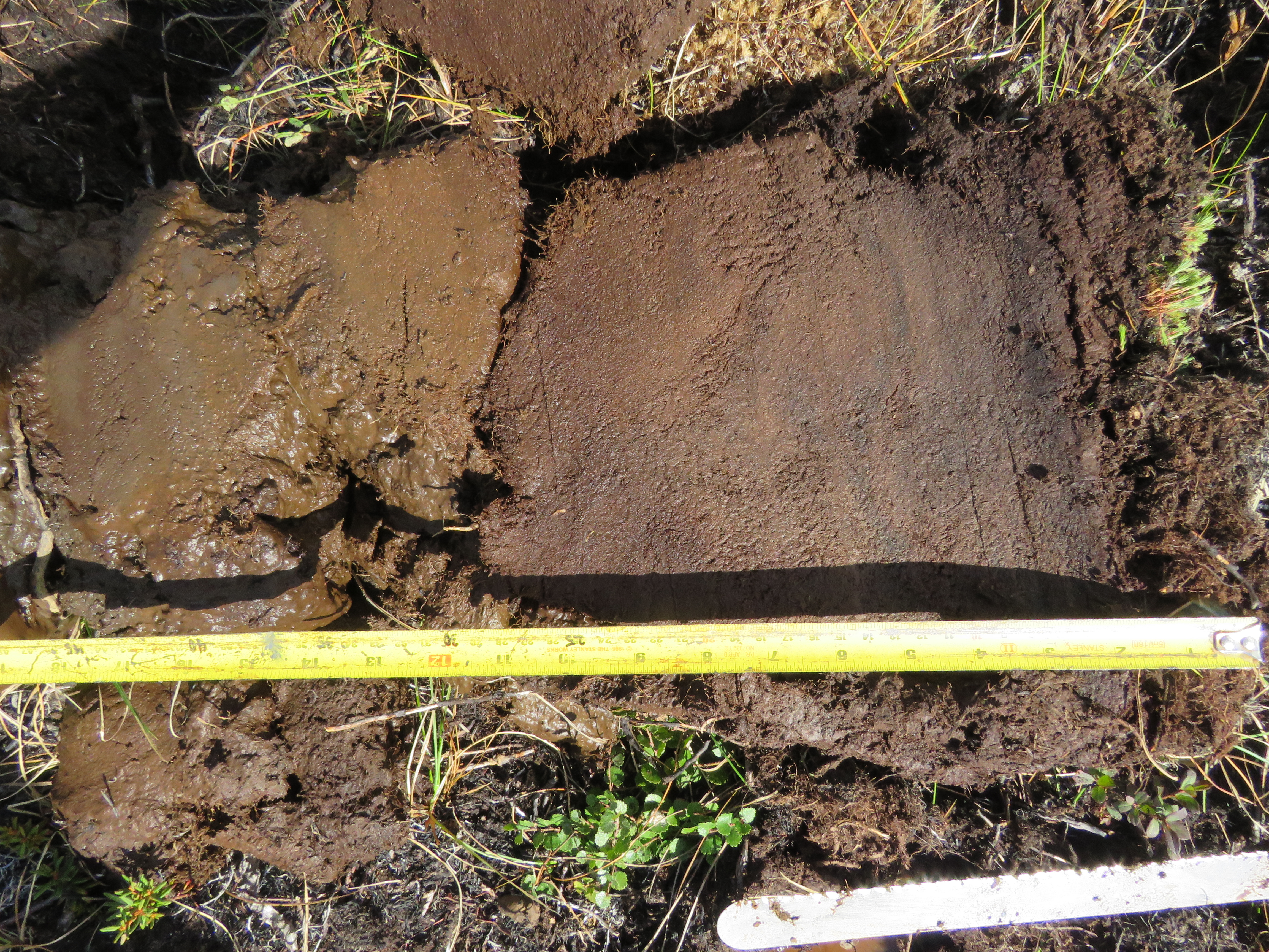
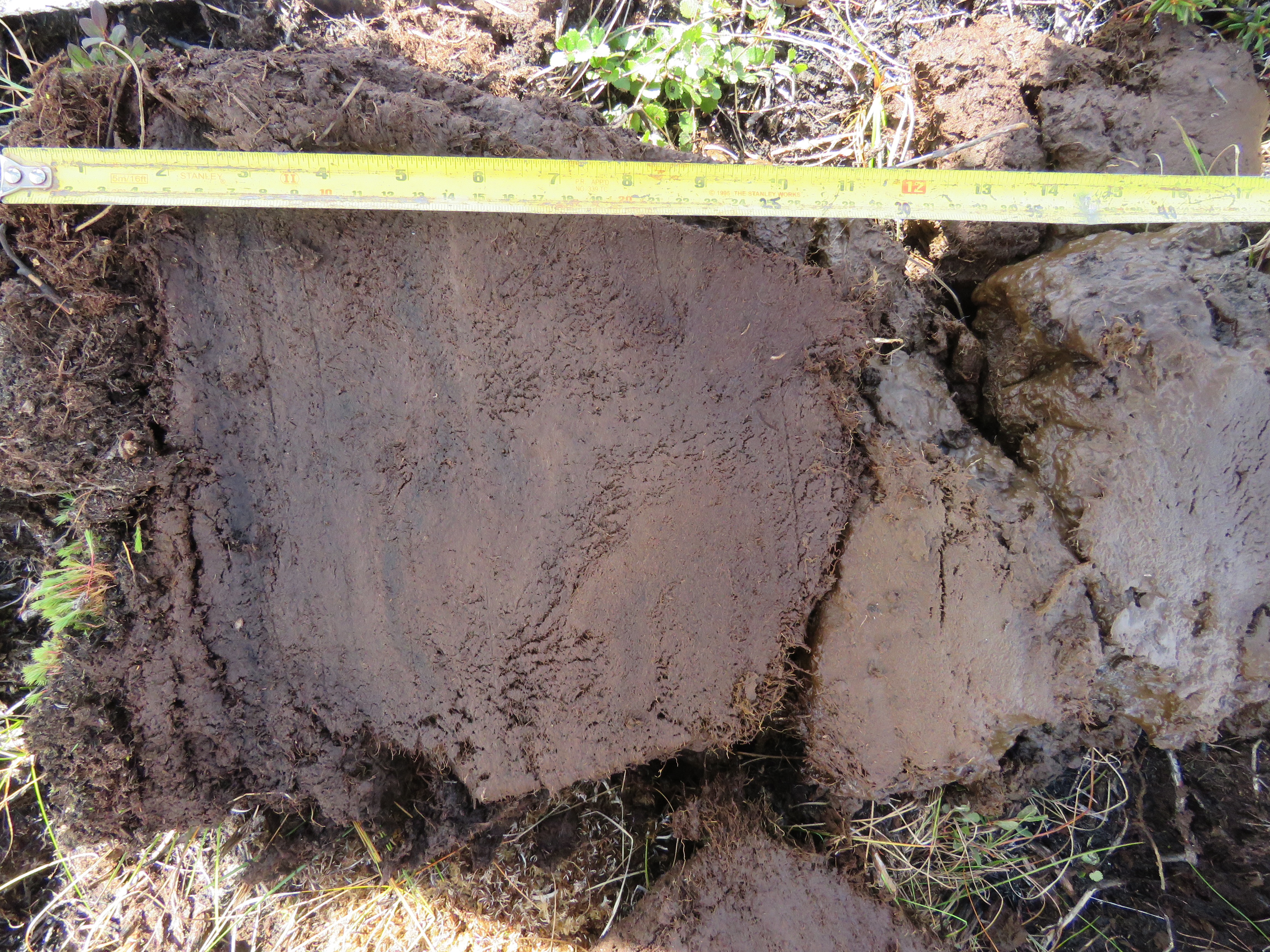
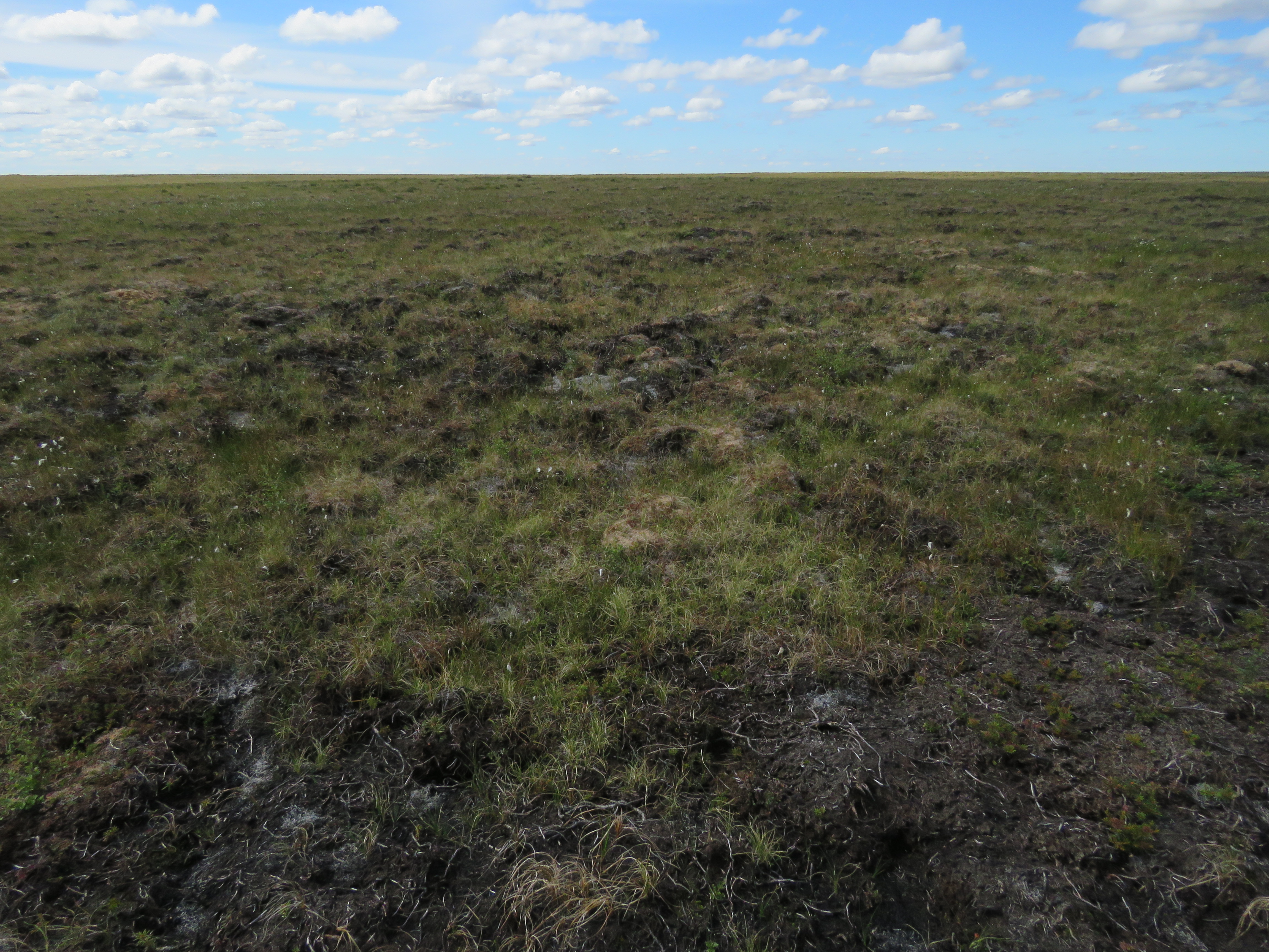
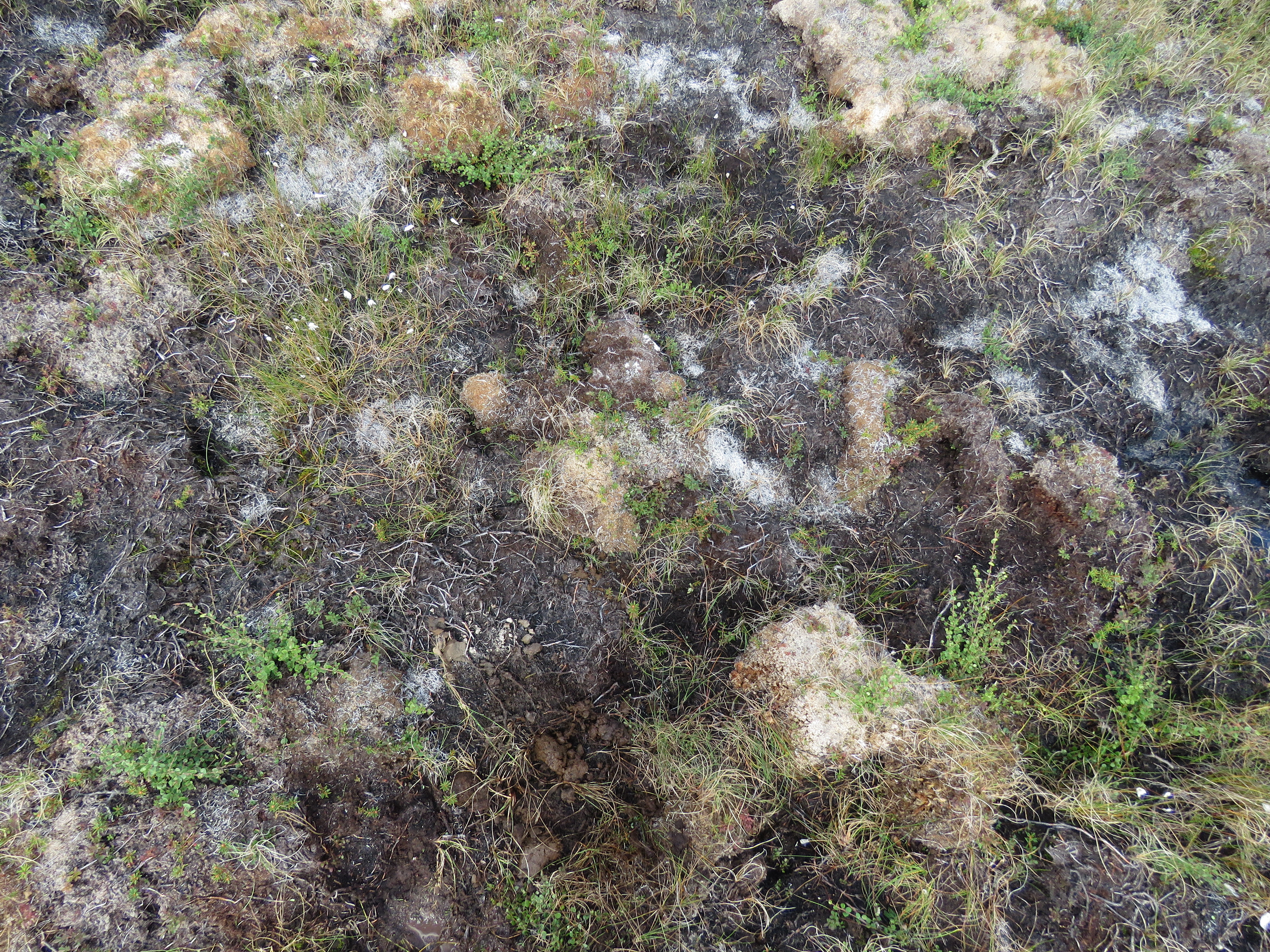
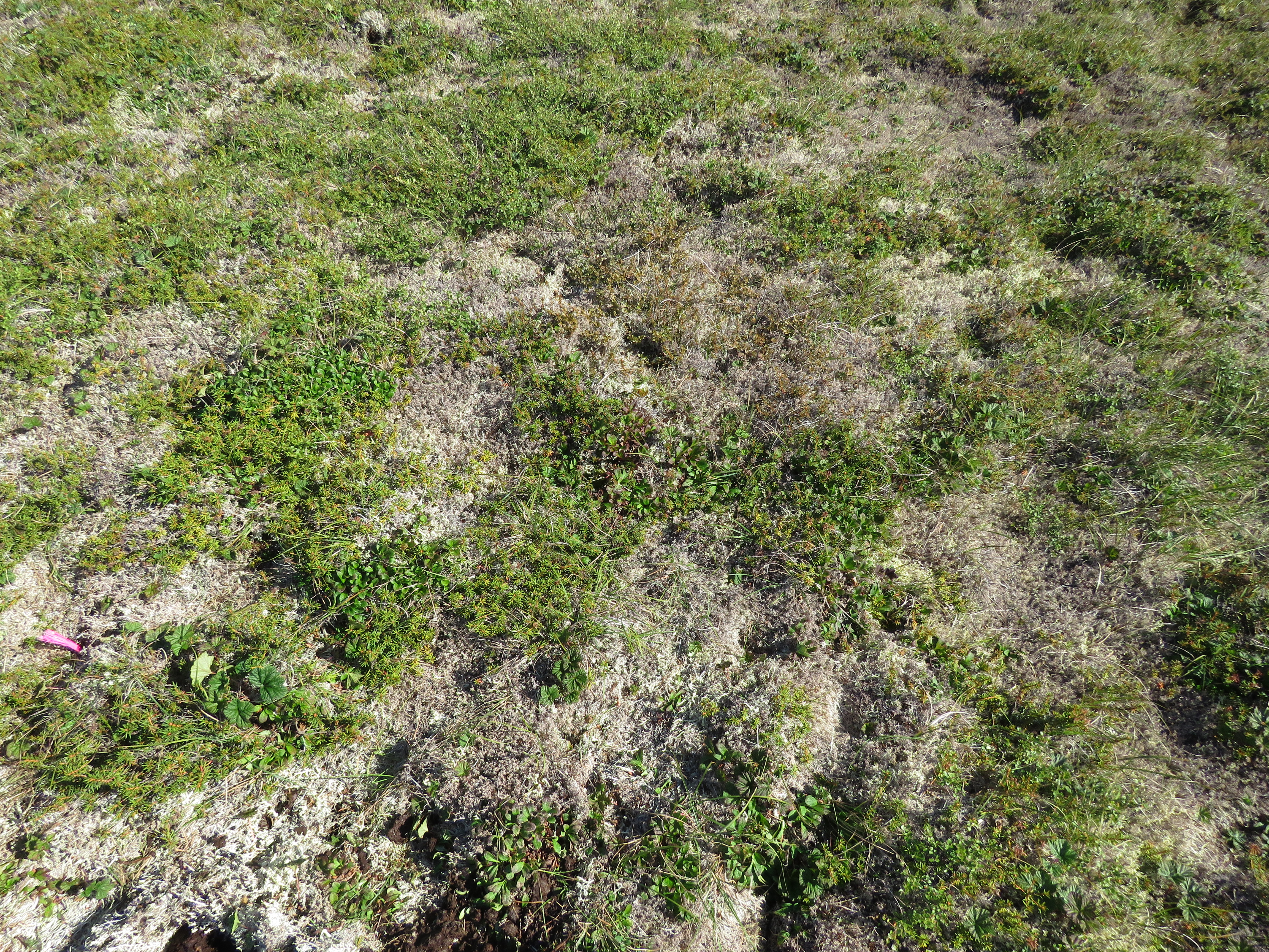
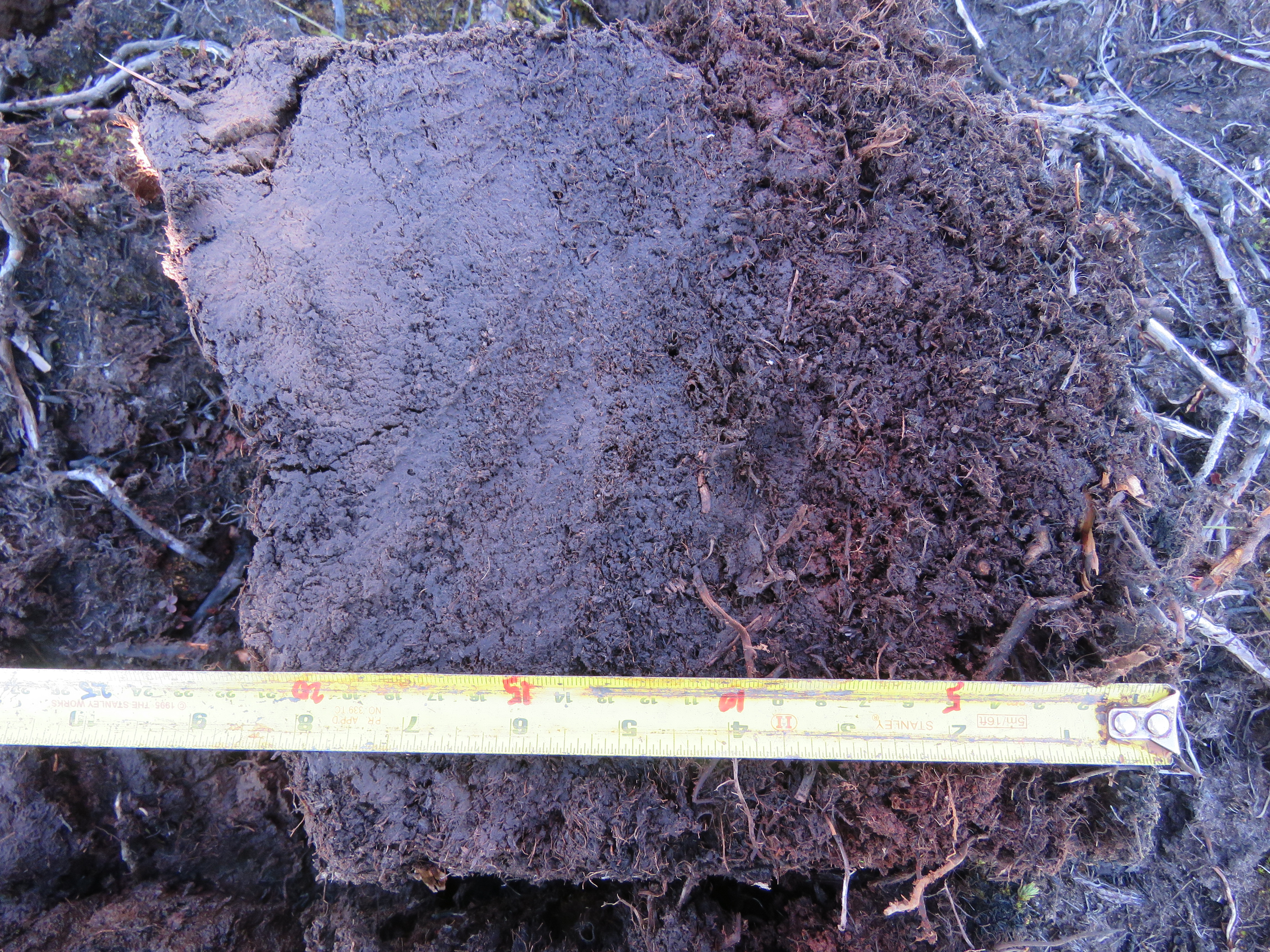
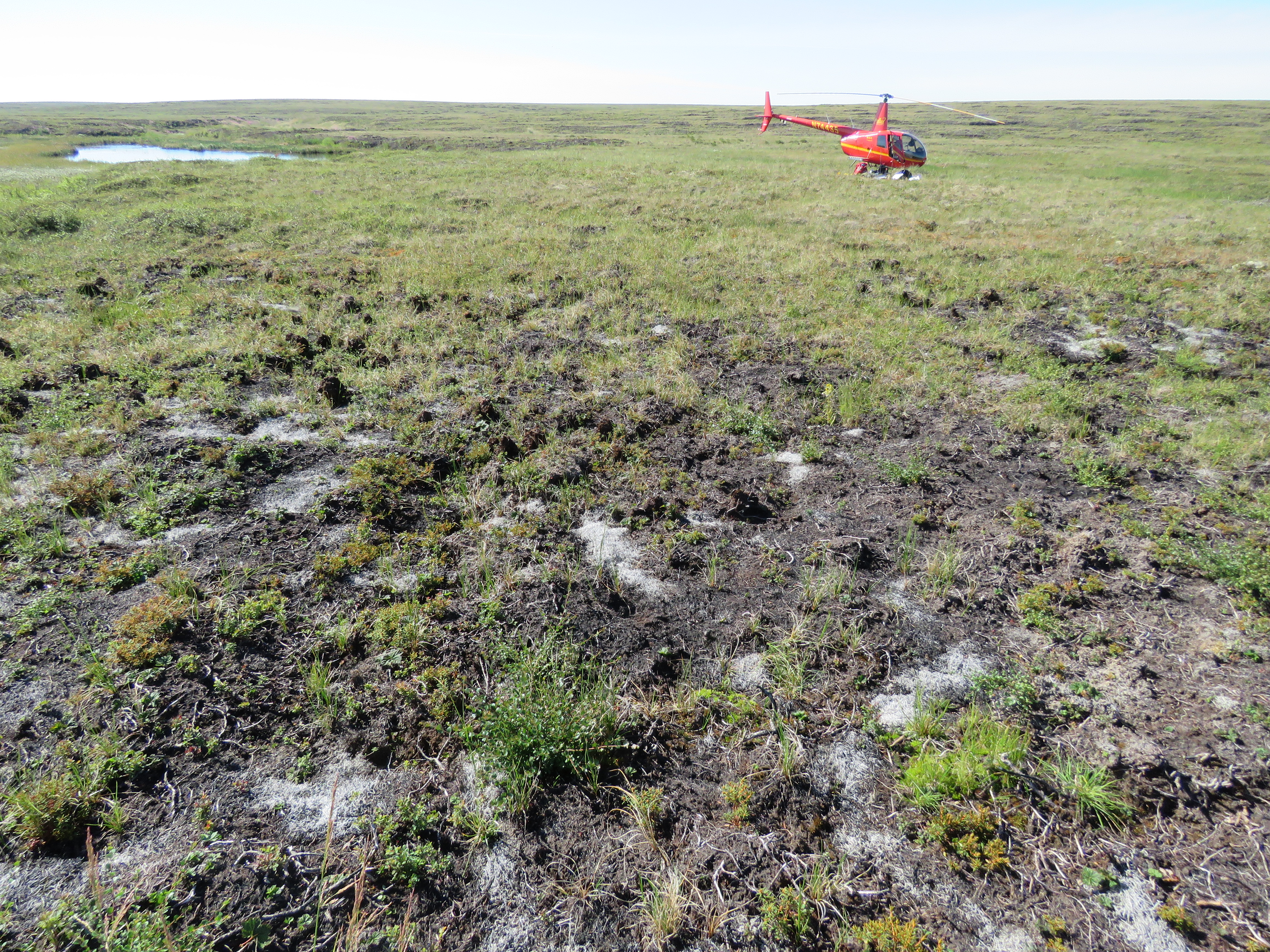
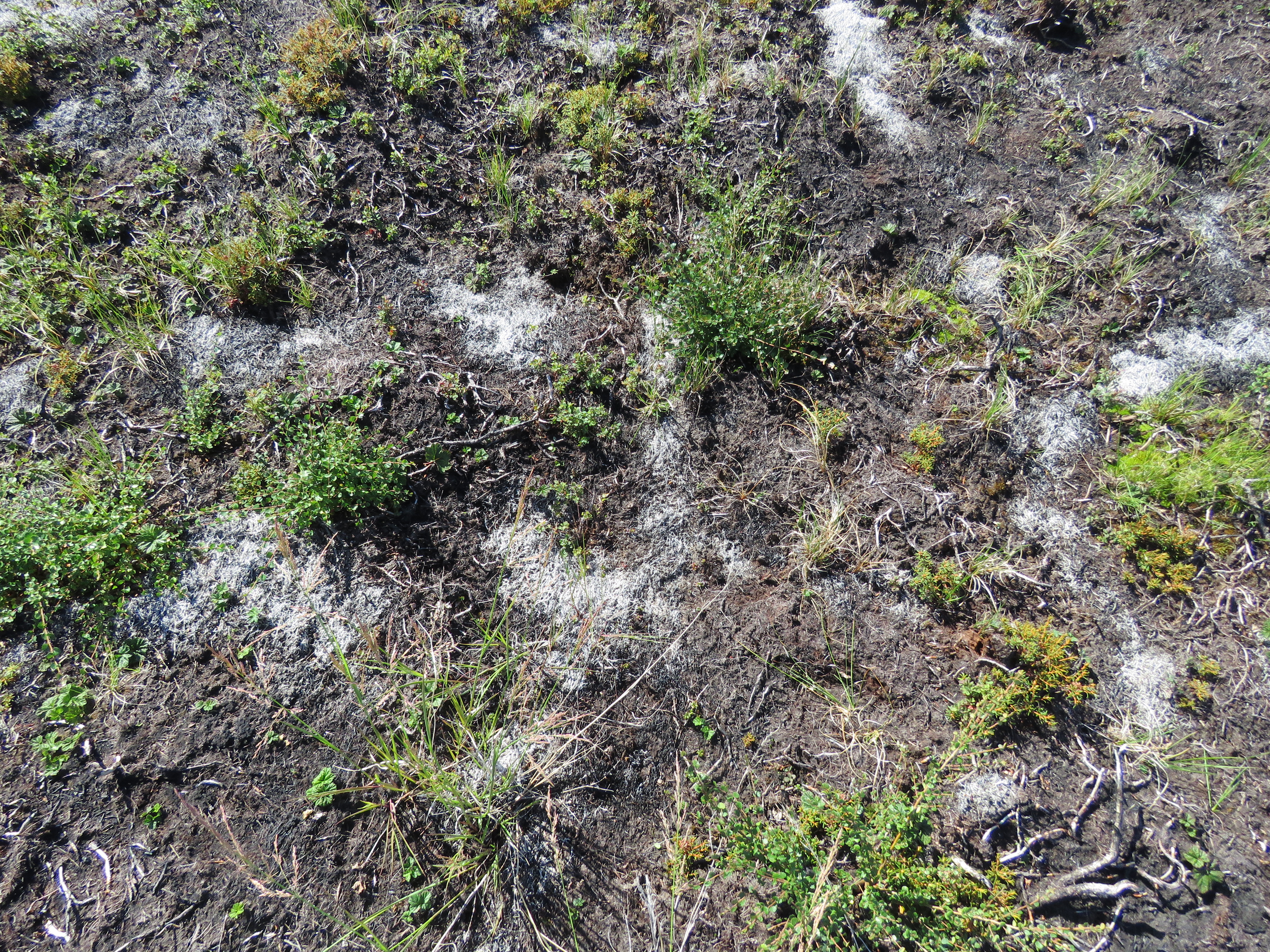
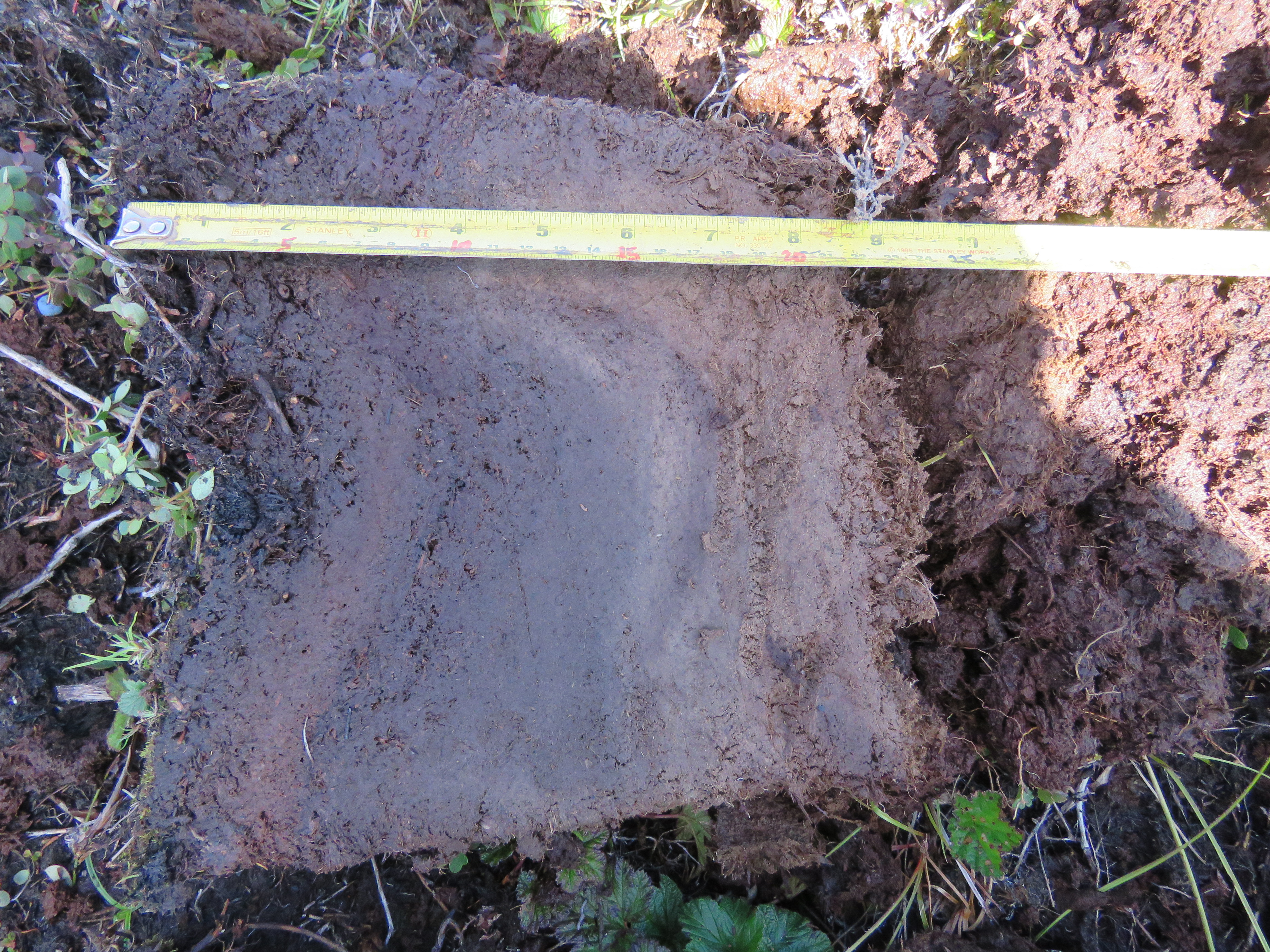
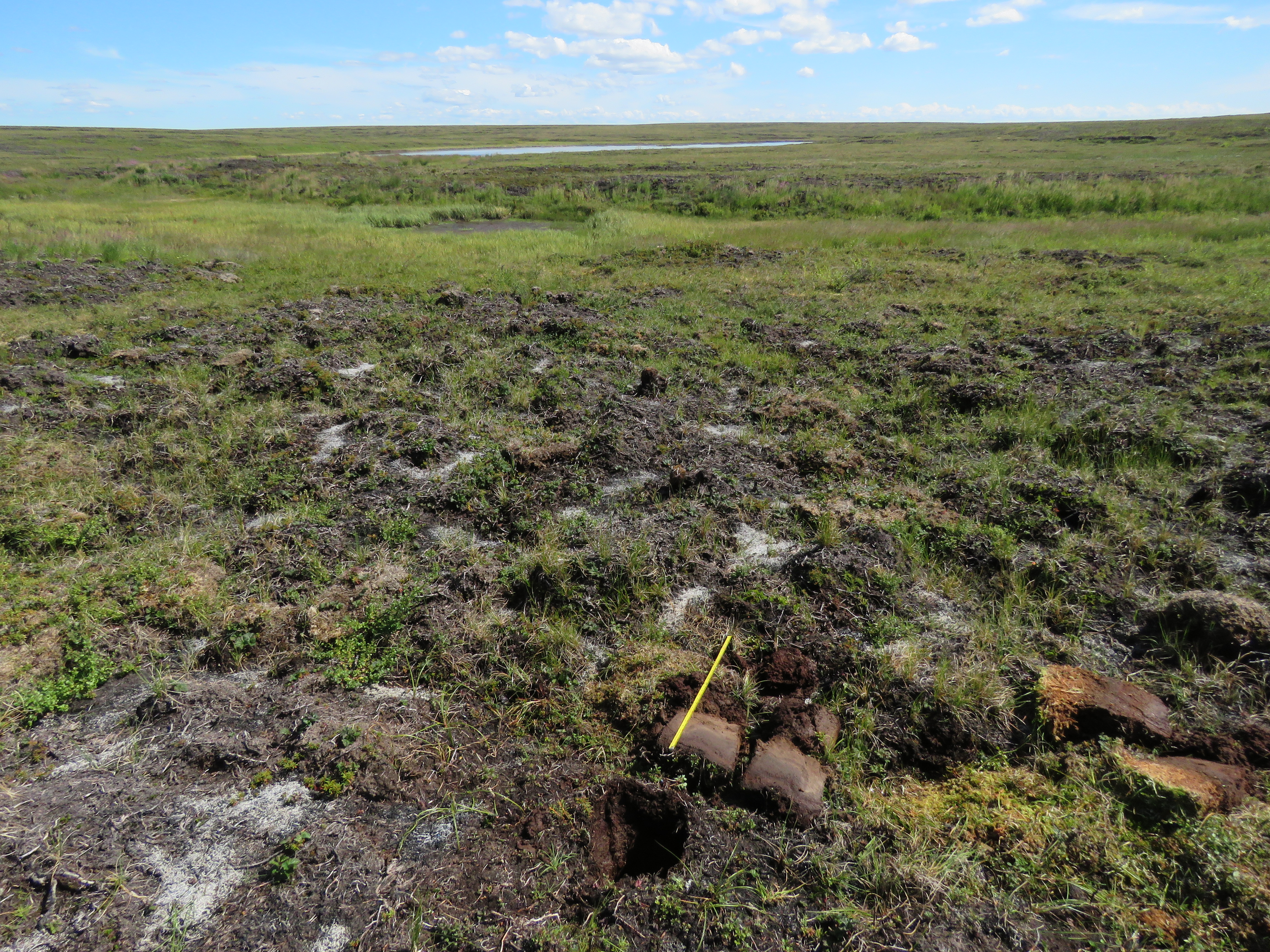
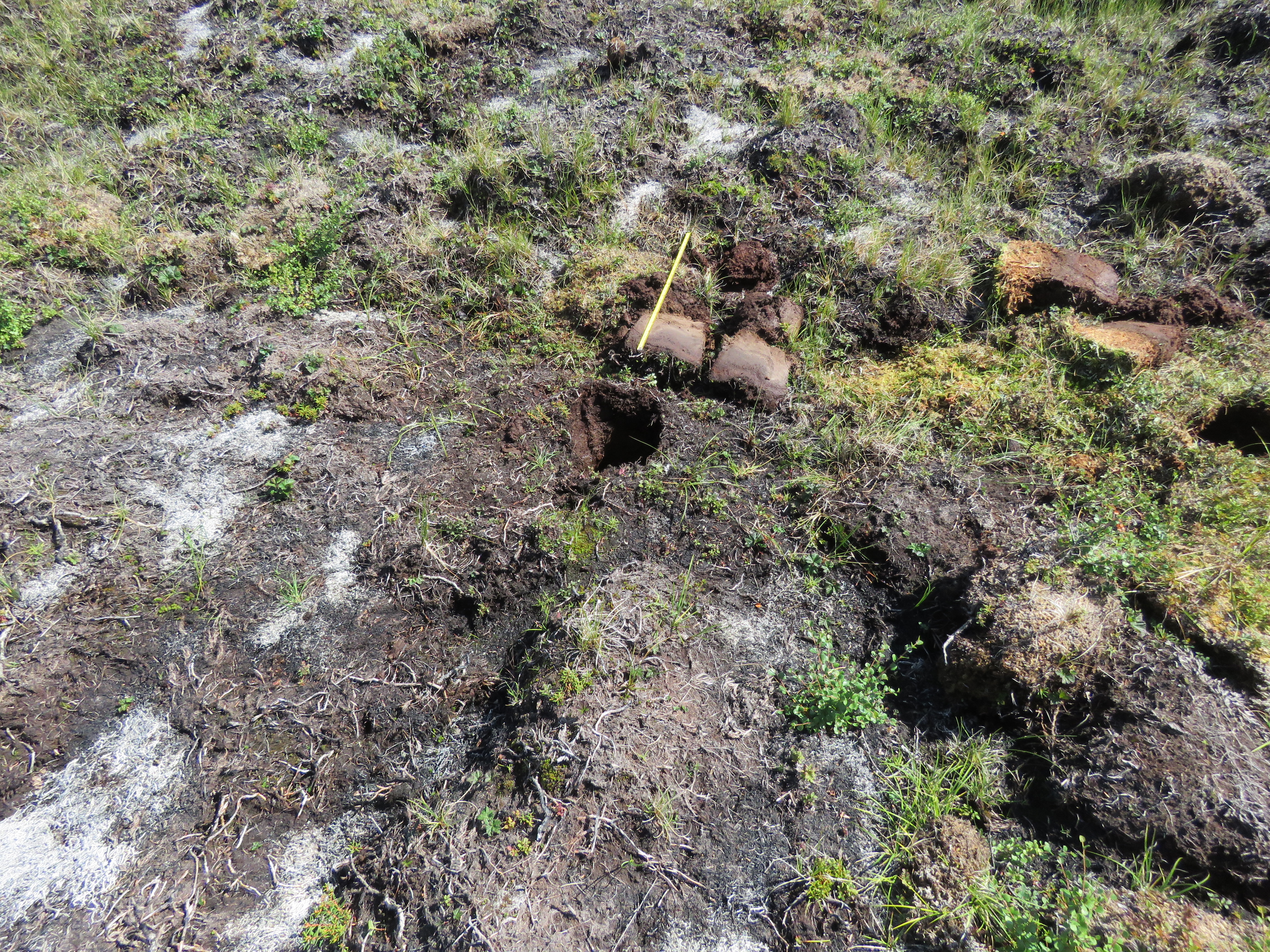
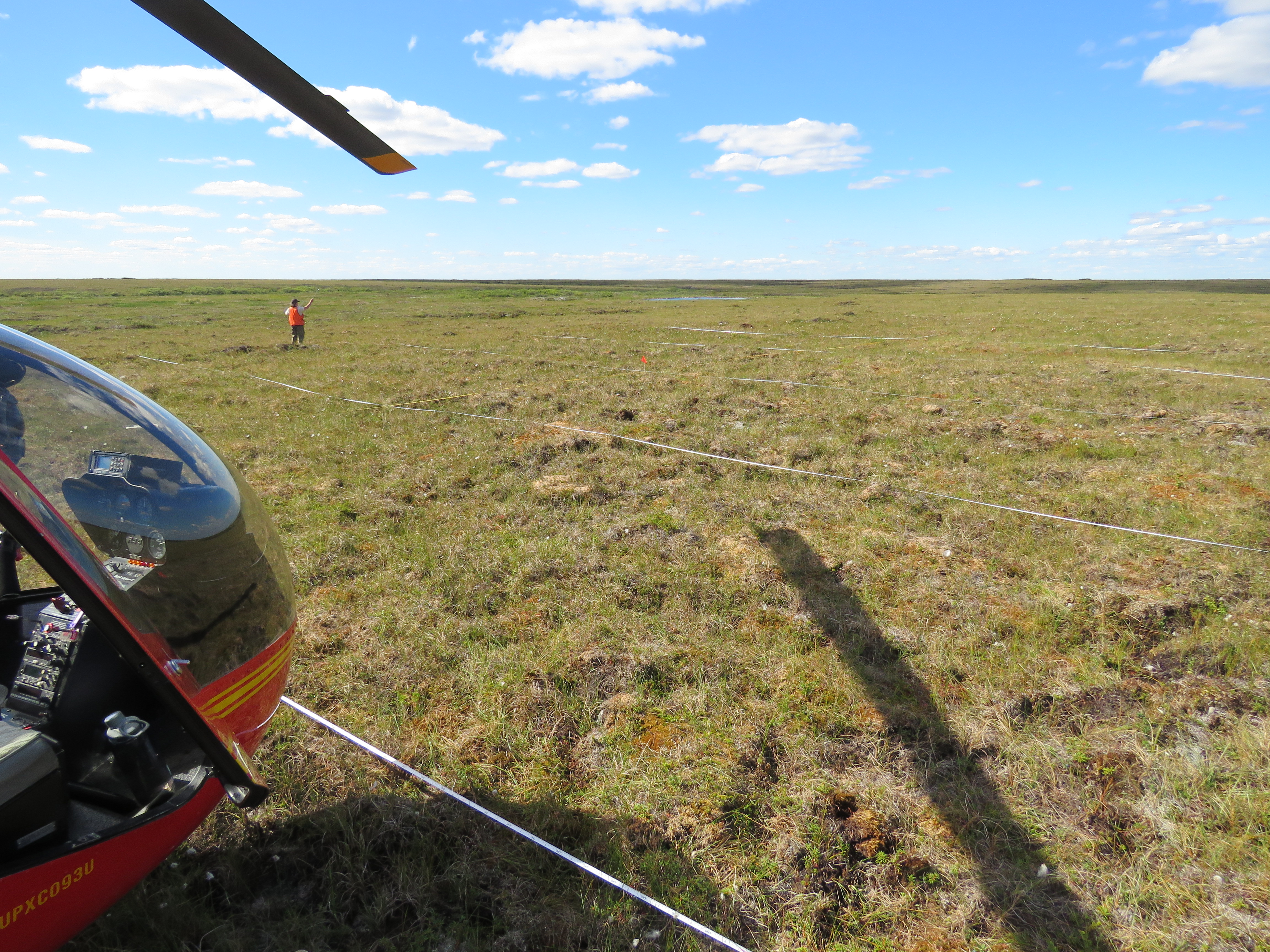
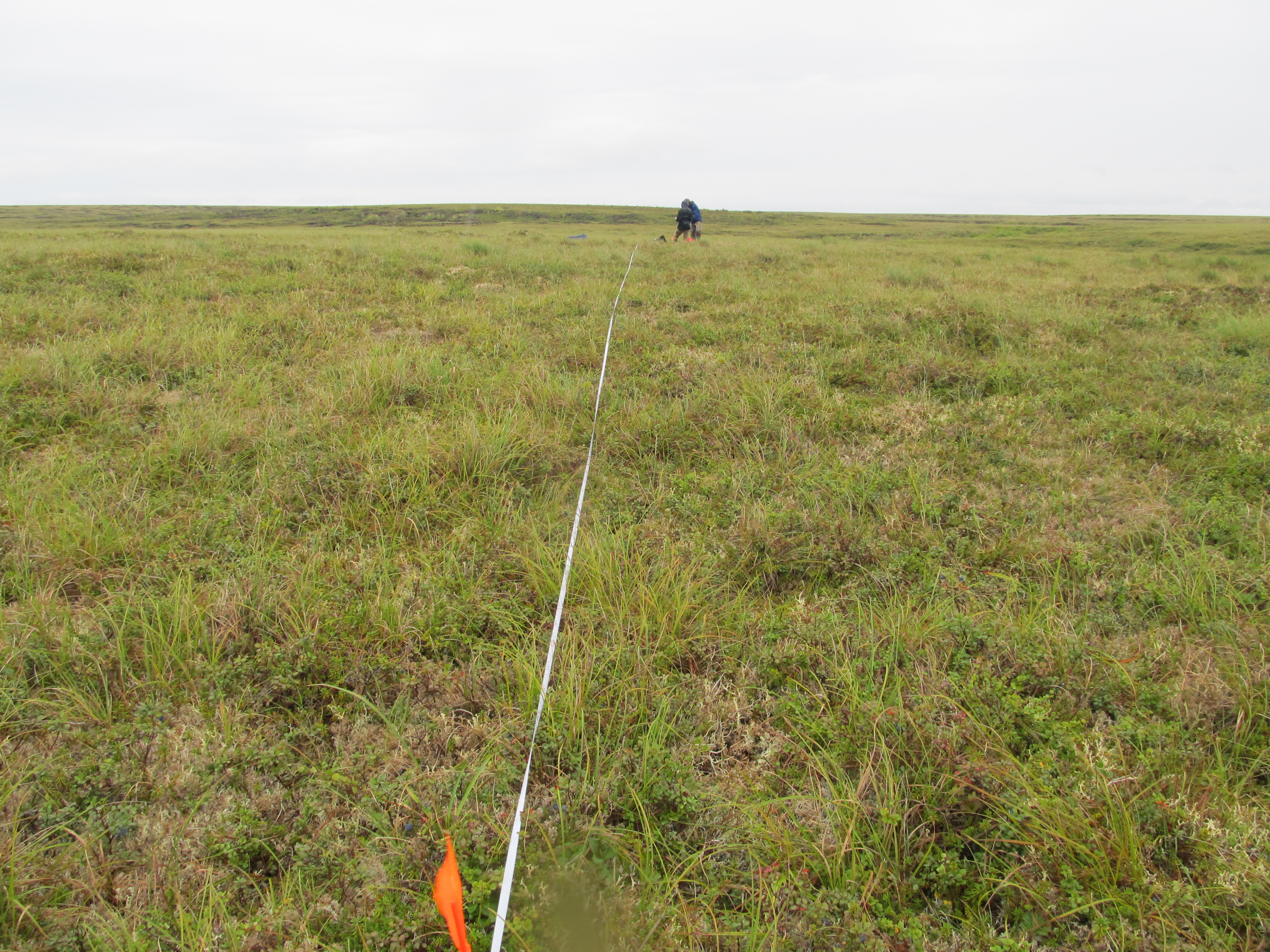
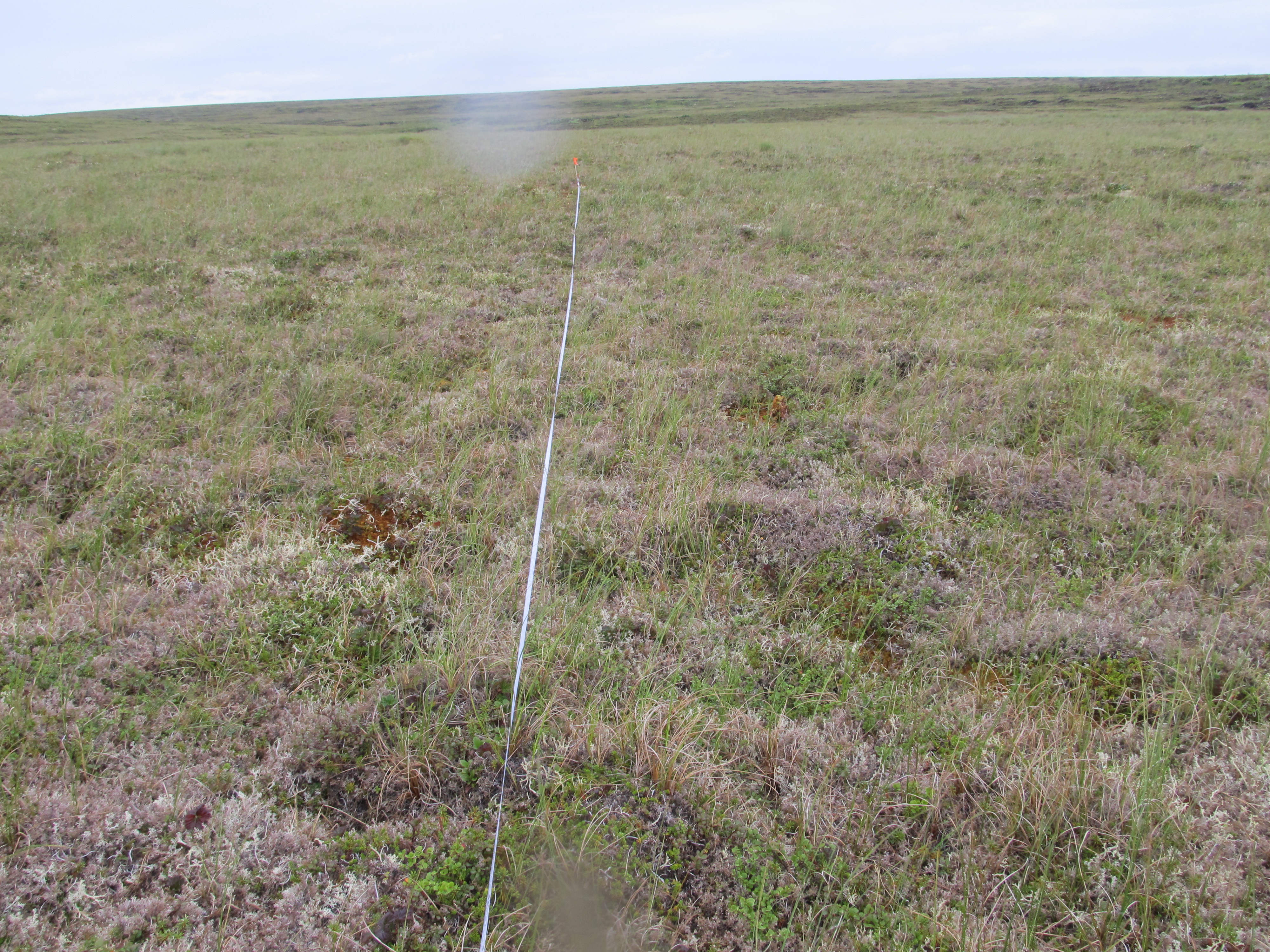
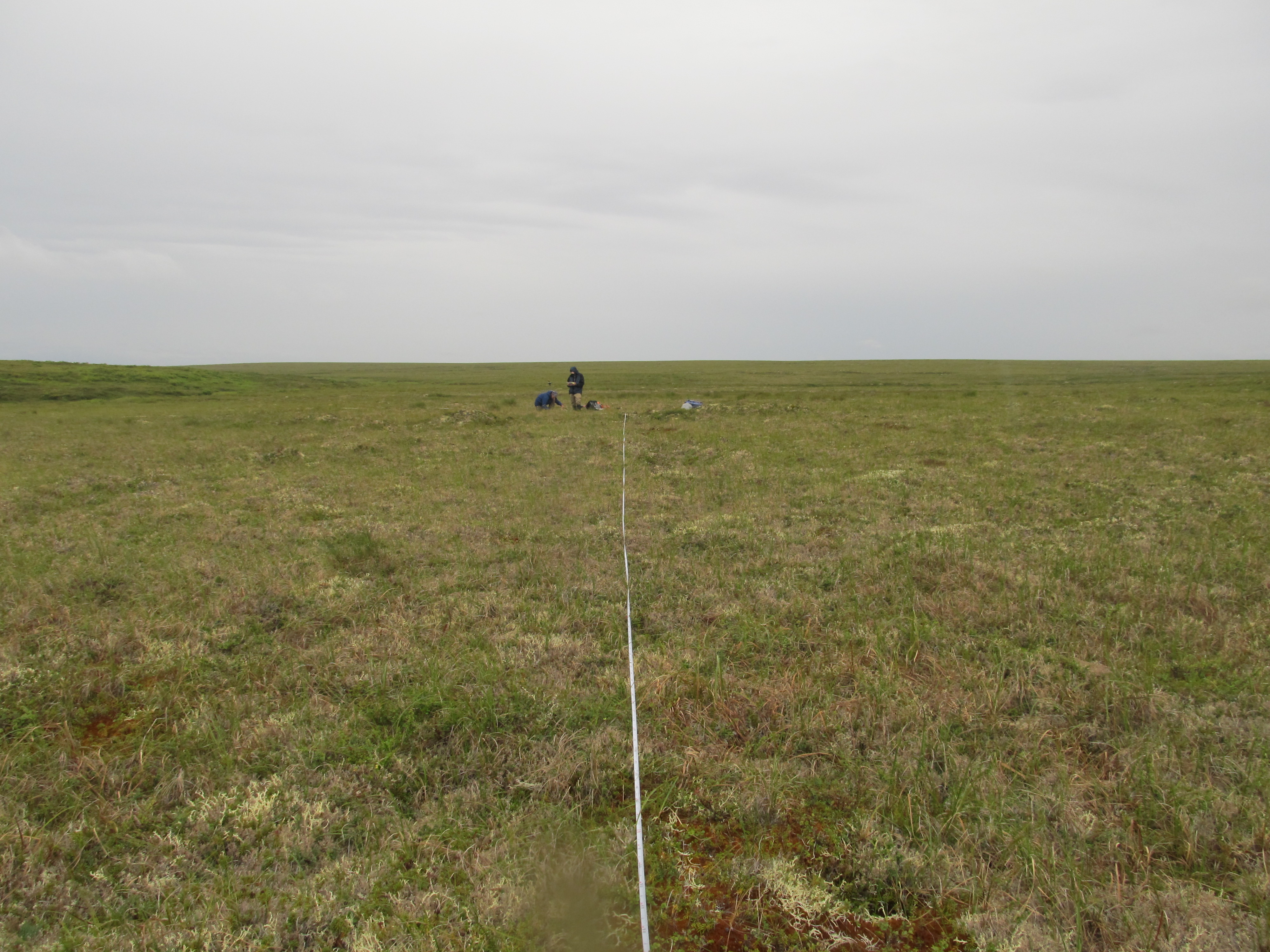
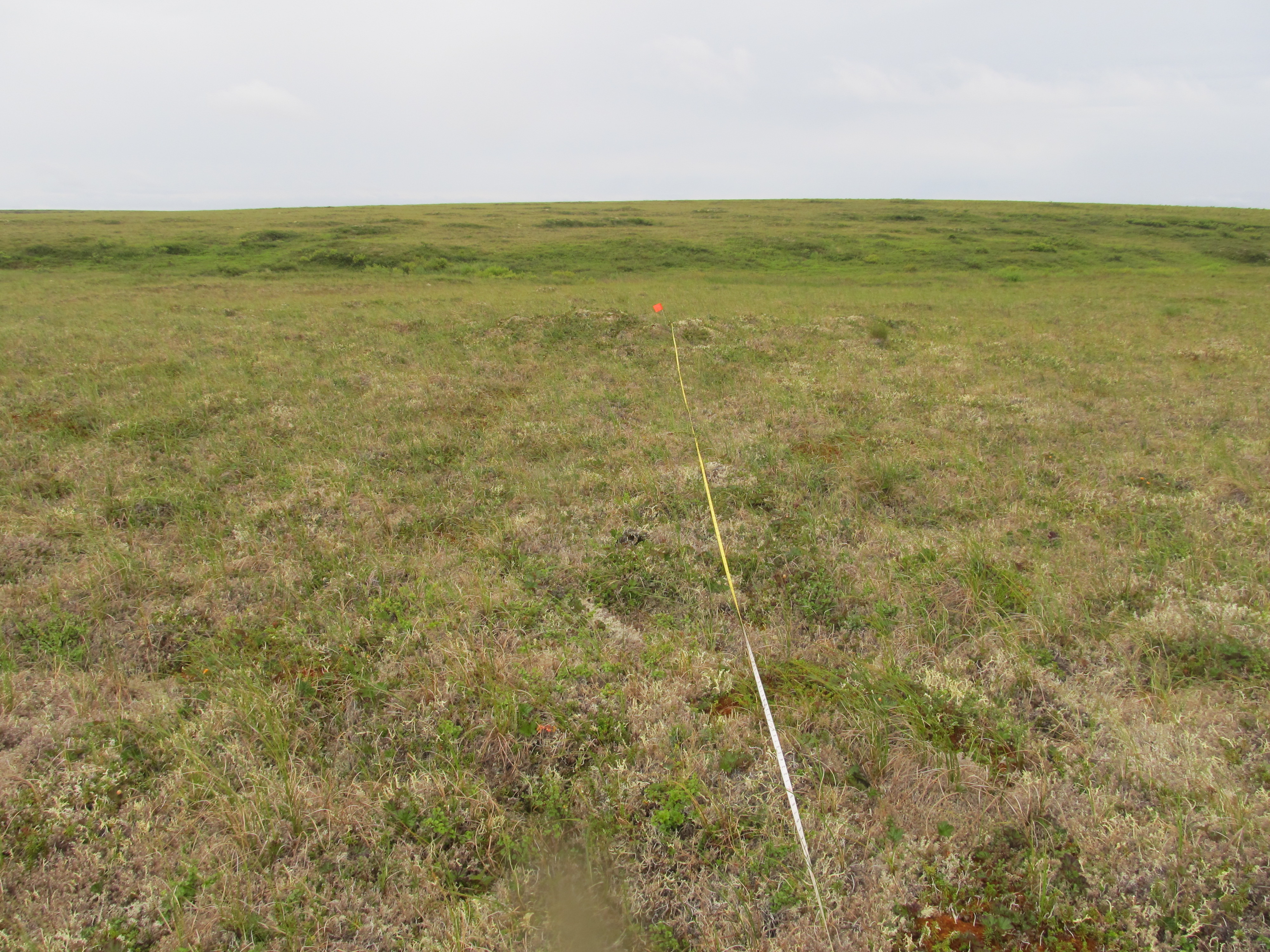
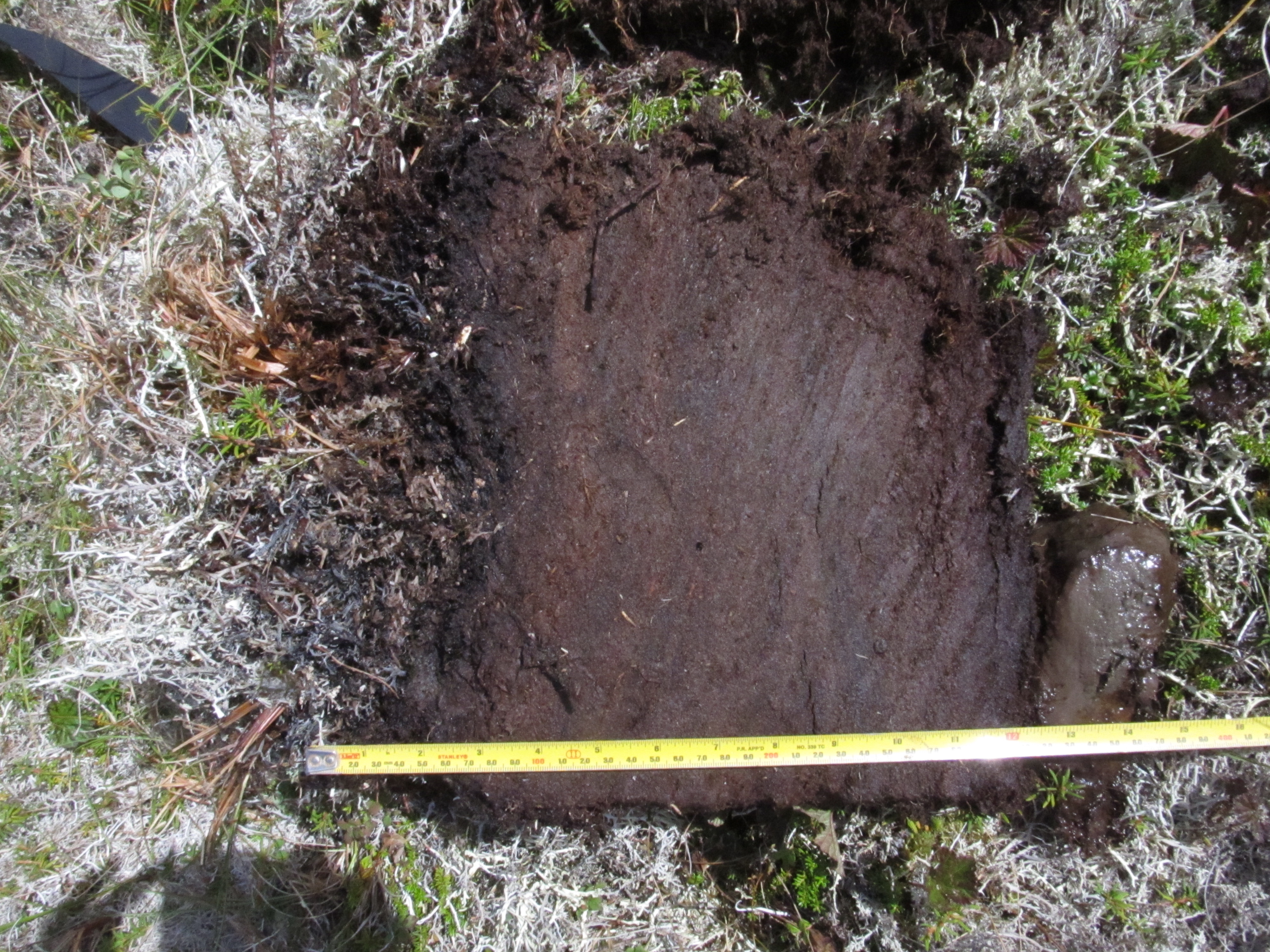
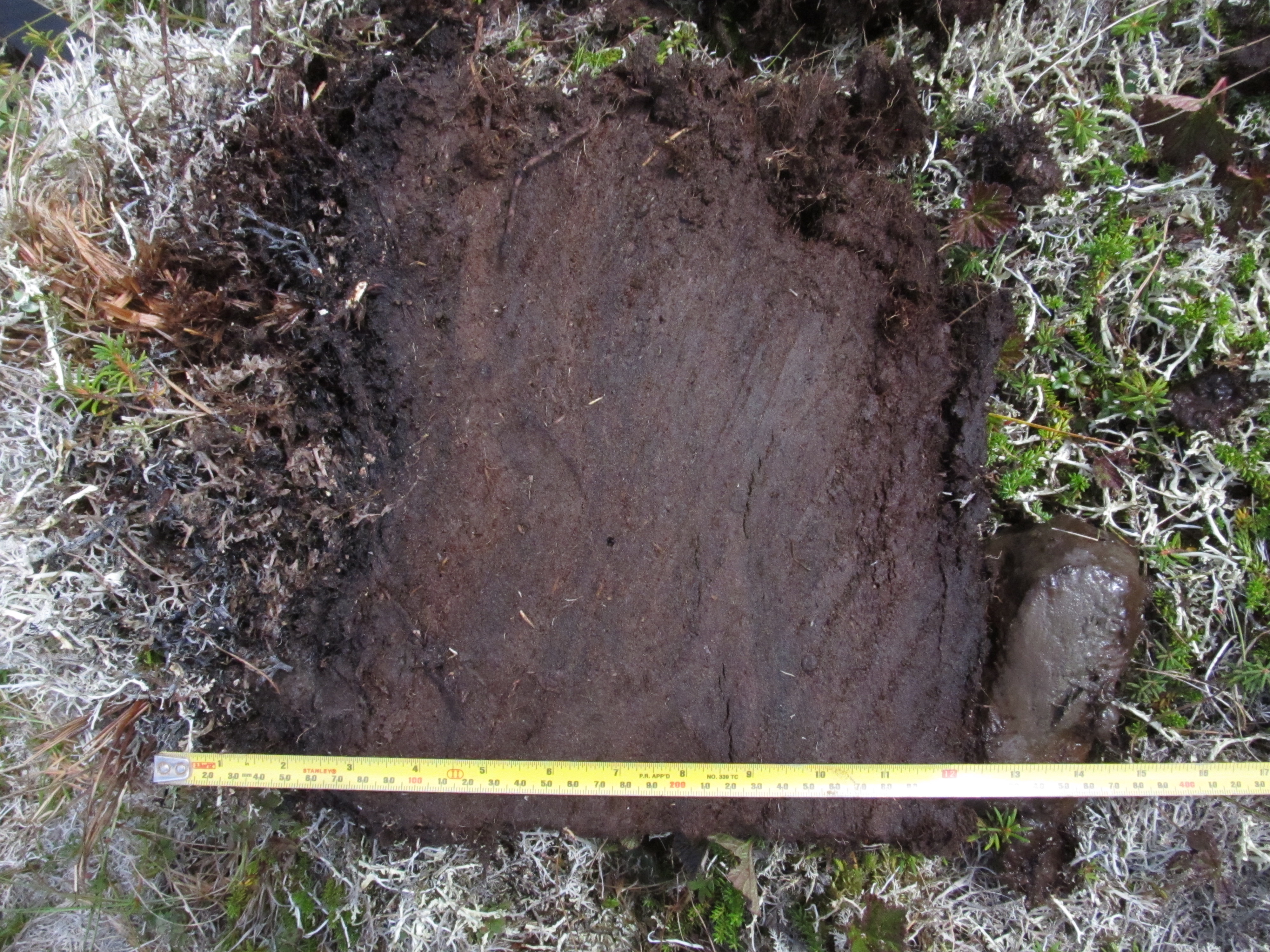
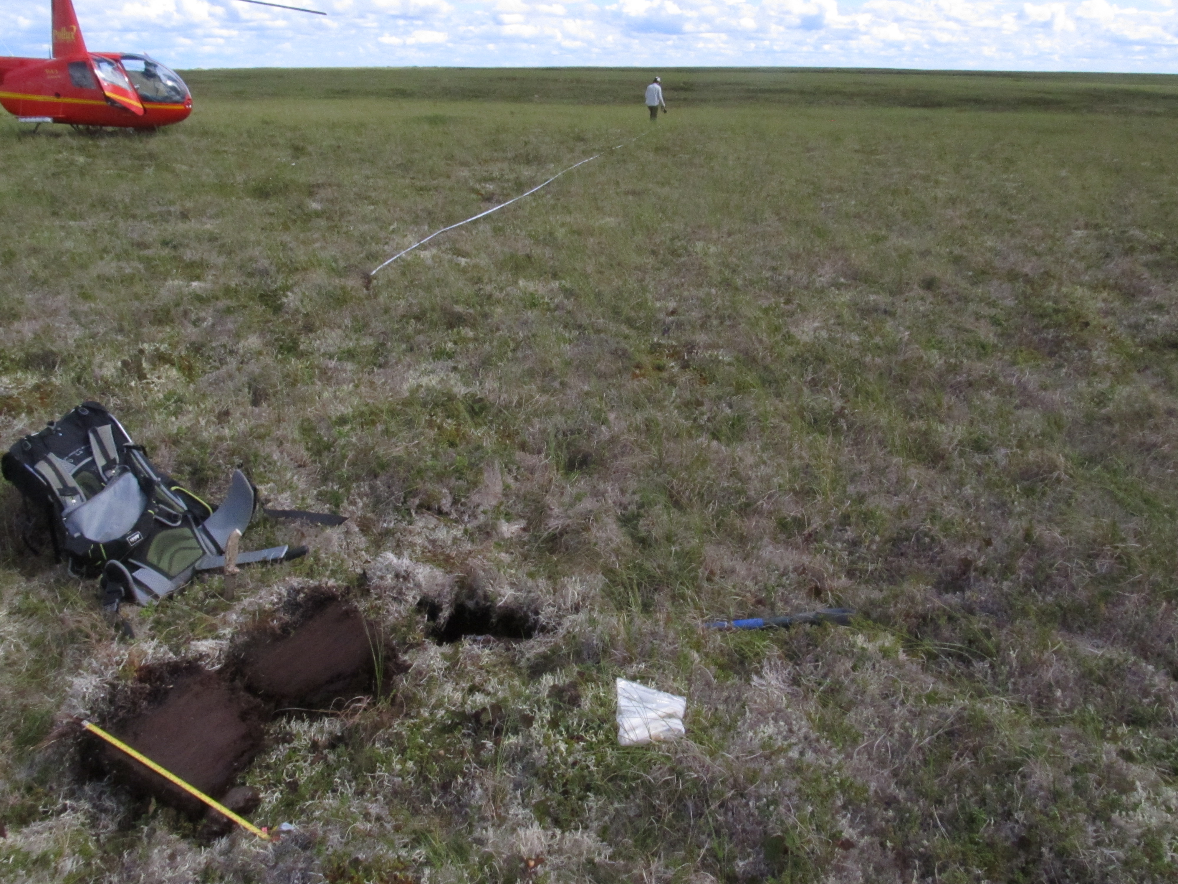
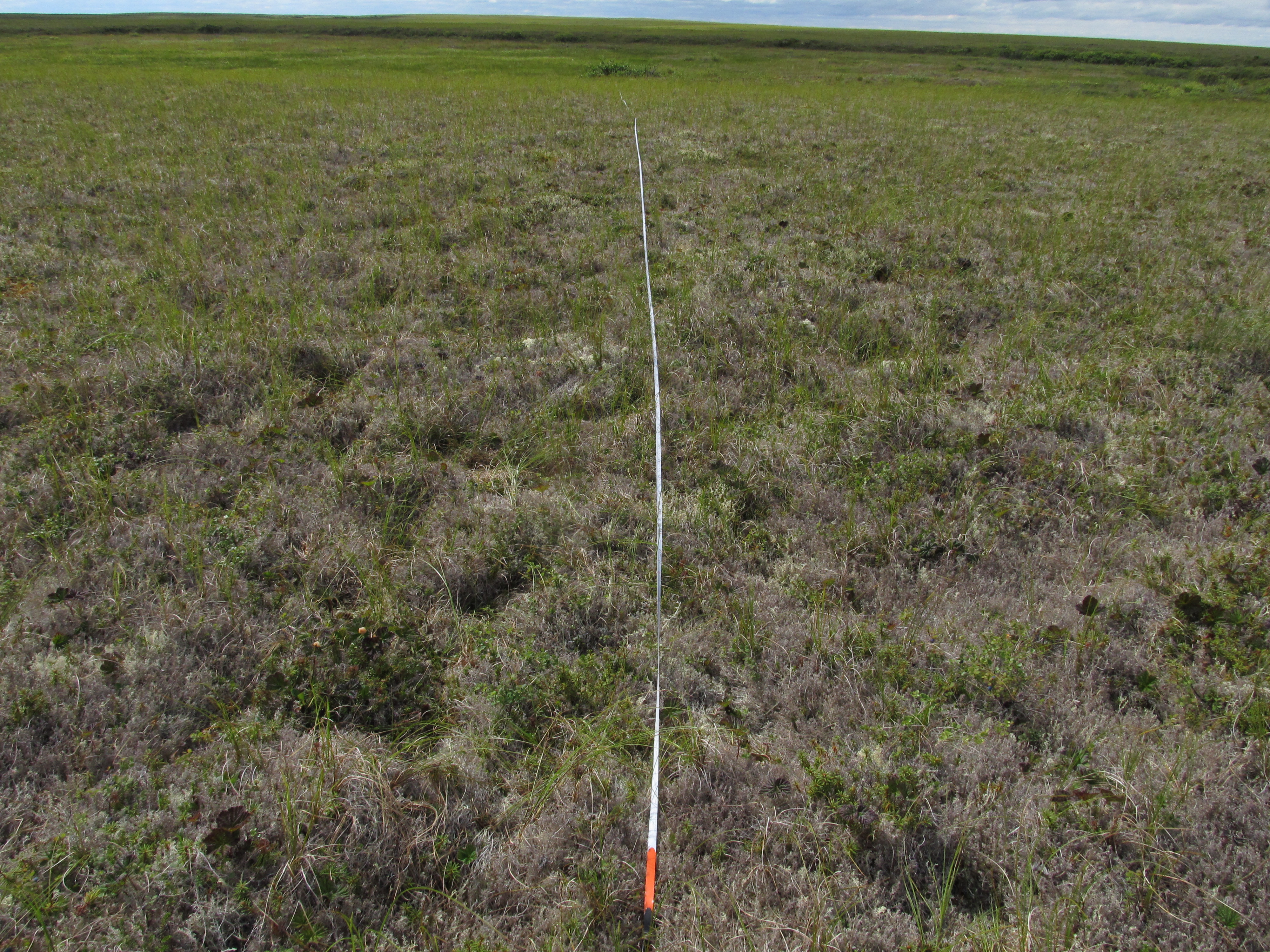
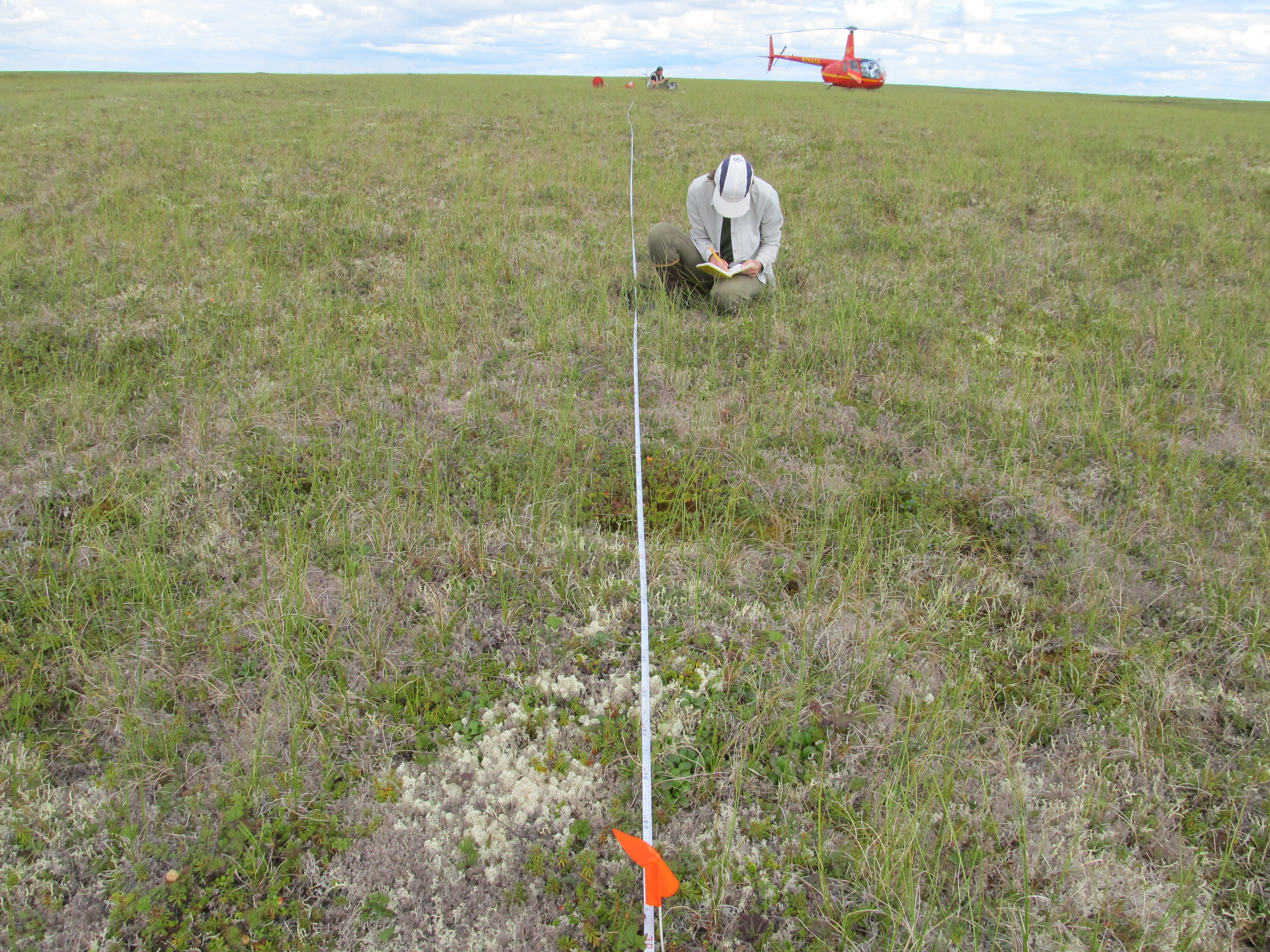
Field data and fractional cover maps of vegetation across tundra fire...
-
View documentation related to this datasetCSV
ABoVE: Vegetation Composition across Fire History Gradients on the Y-K Delta,...
-
View documentation related to this datasetCSV
ABoVE: Vegetation Composition across Fire History Gradients on the Y-K Delta,...
-
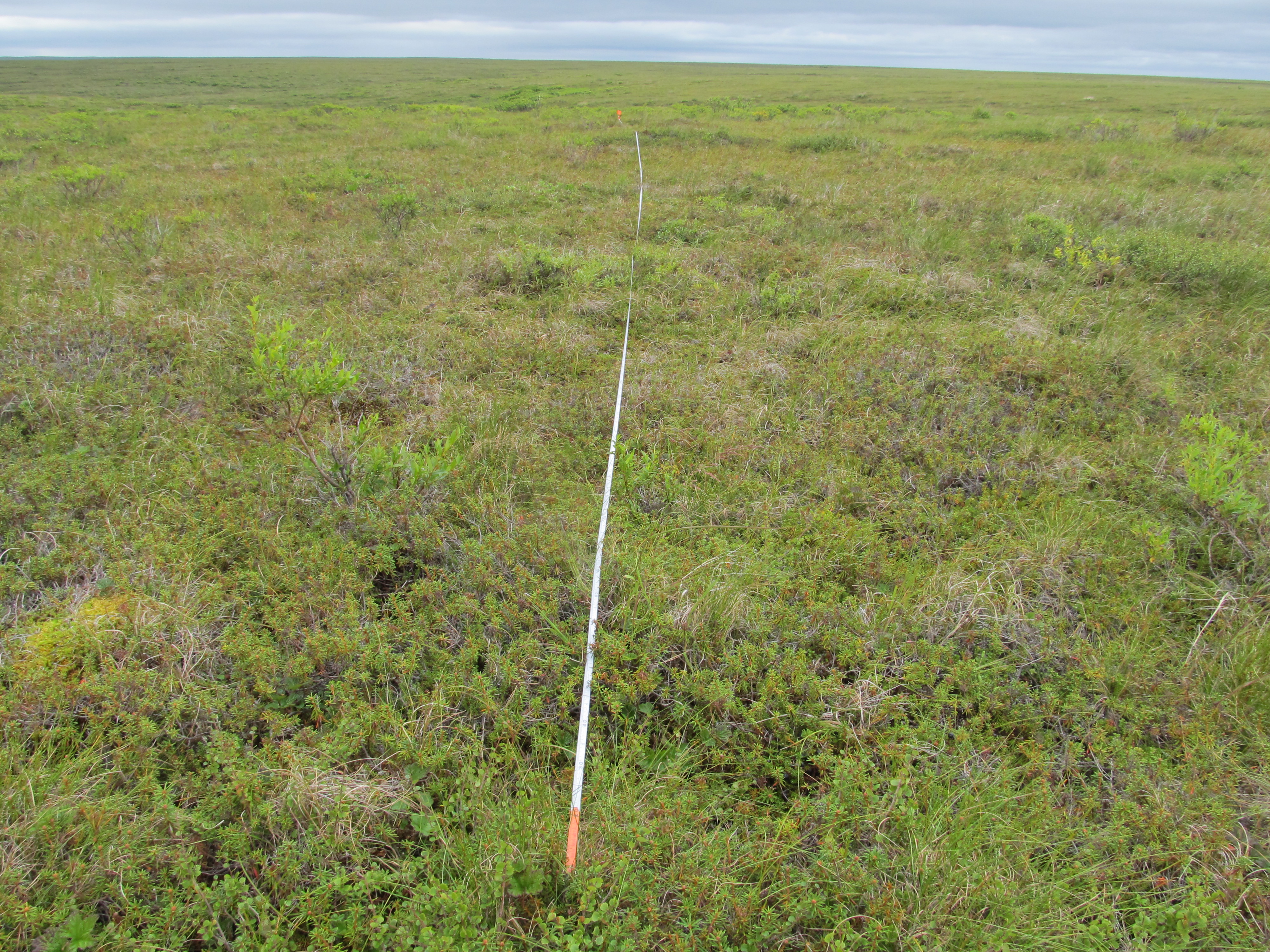
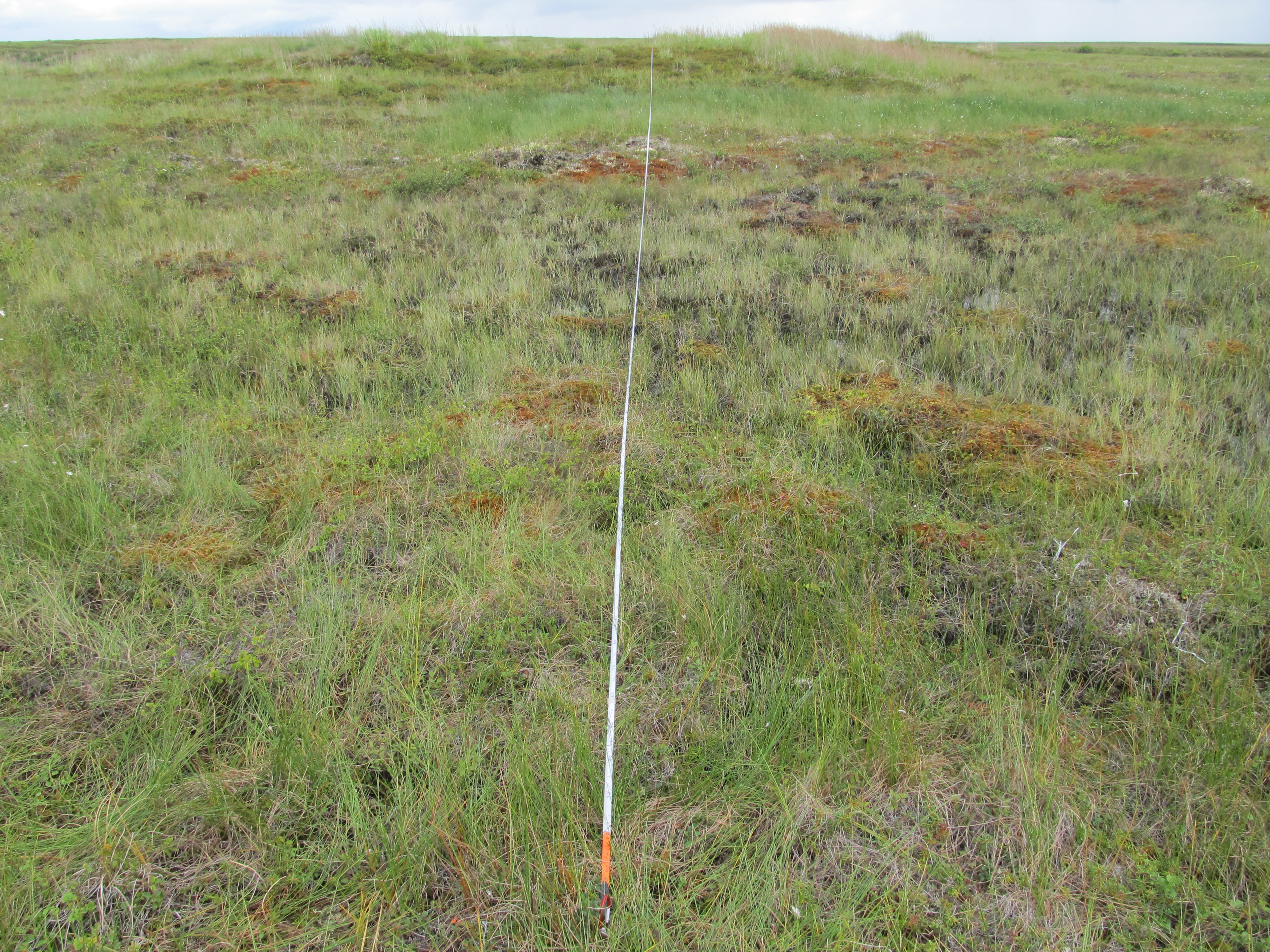
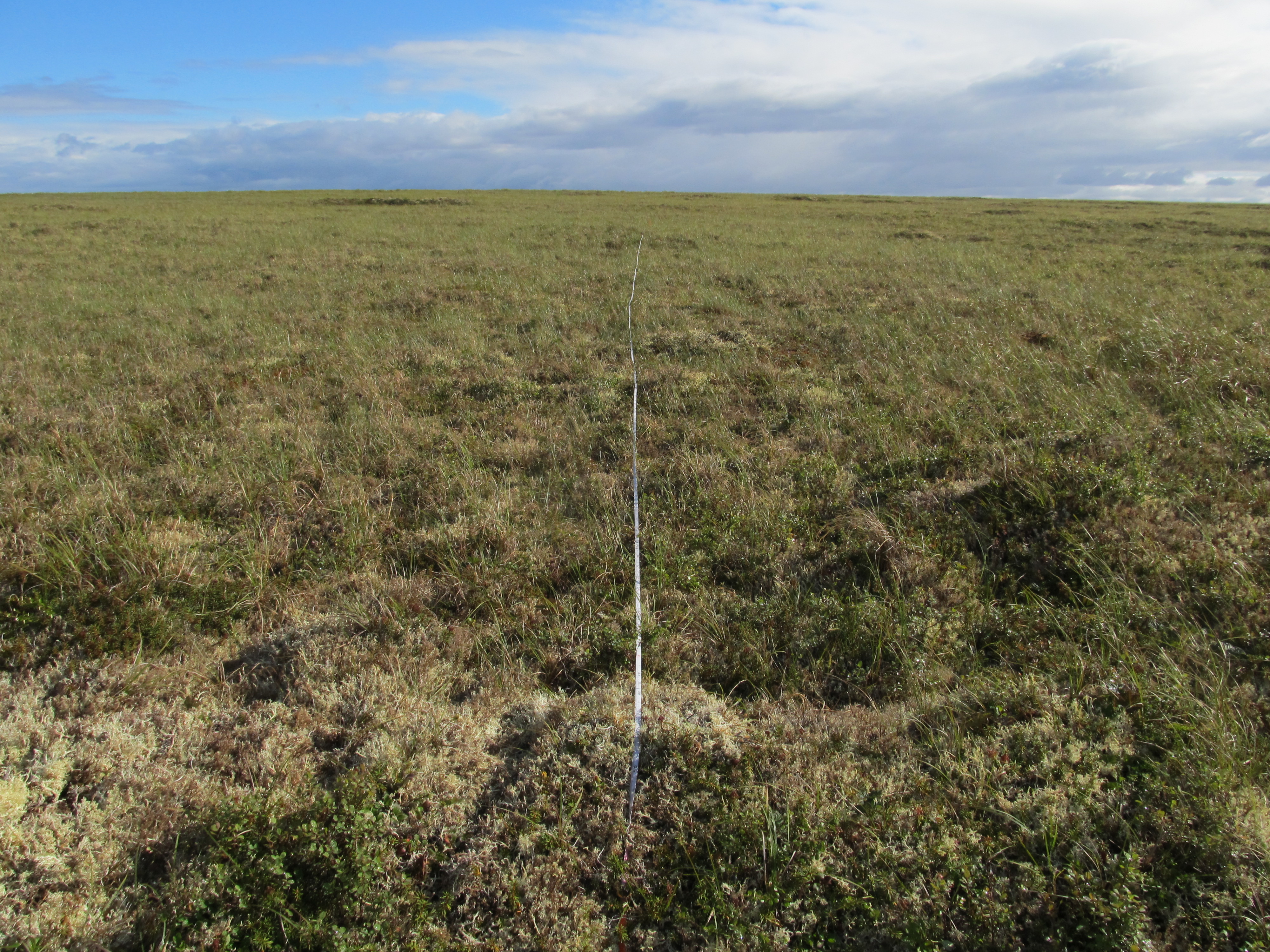
View documentation related to this datasetJPEG
ABoVE: Vegetation Composition across Fire History Gradients on the Y-K Delta,...
-
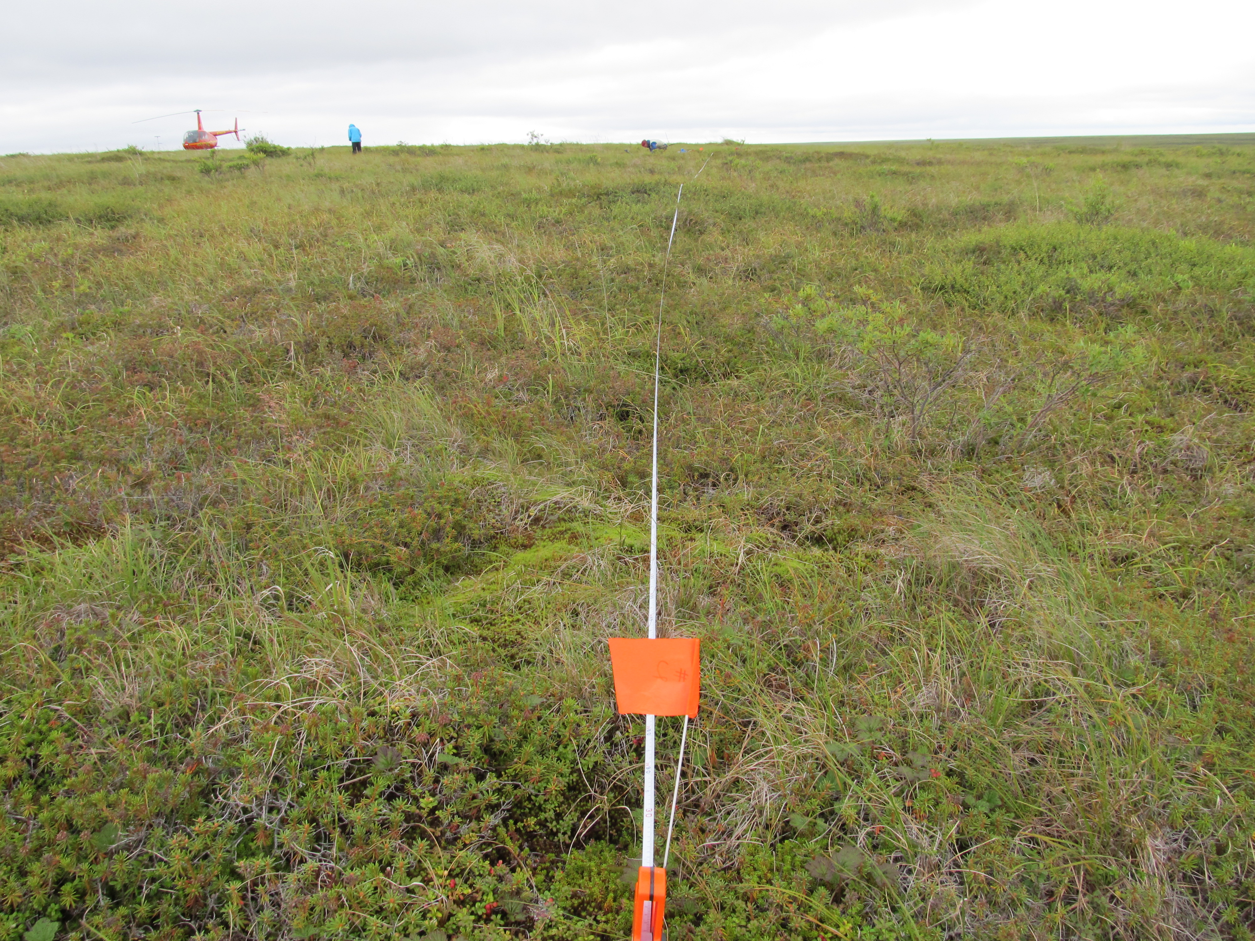
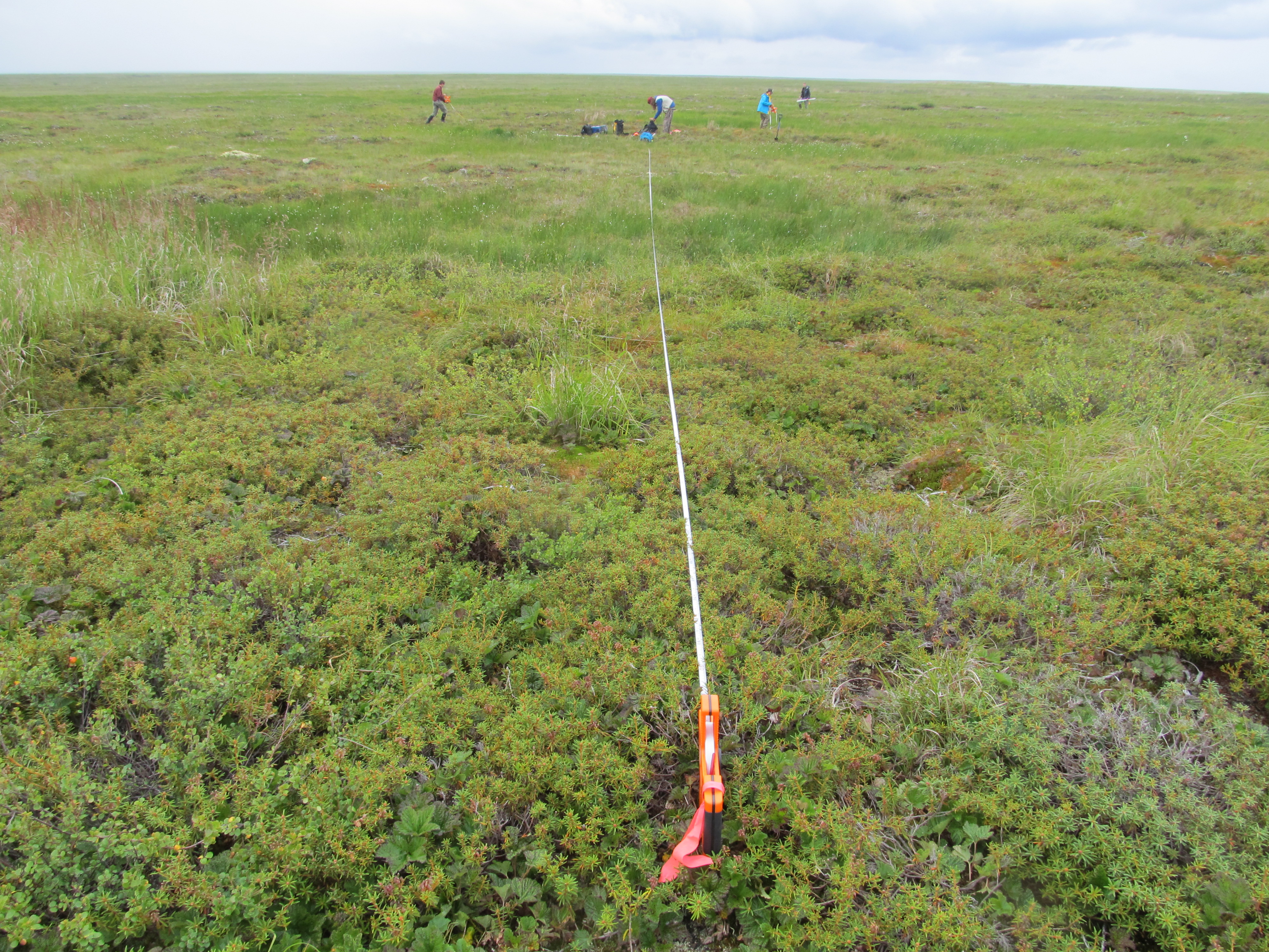
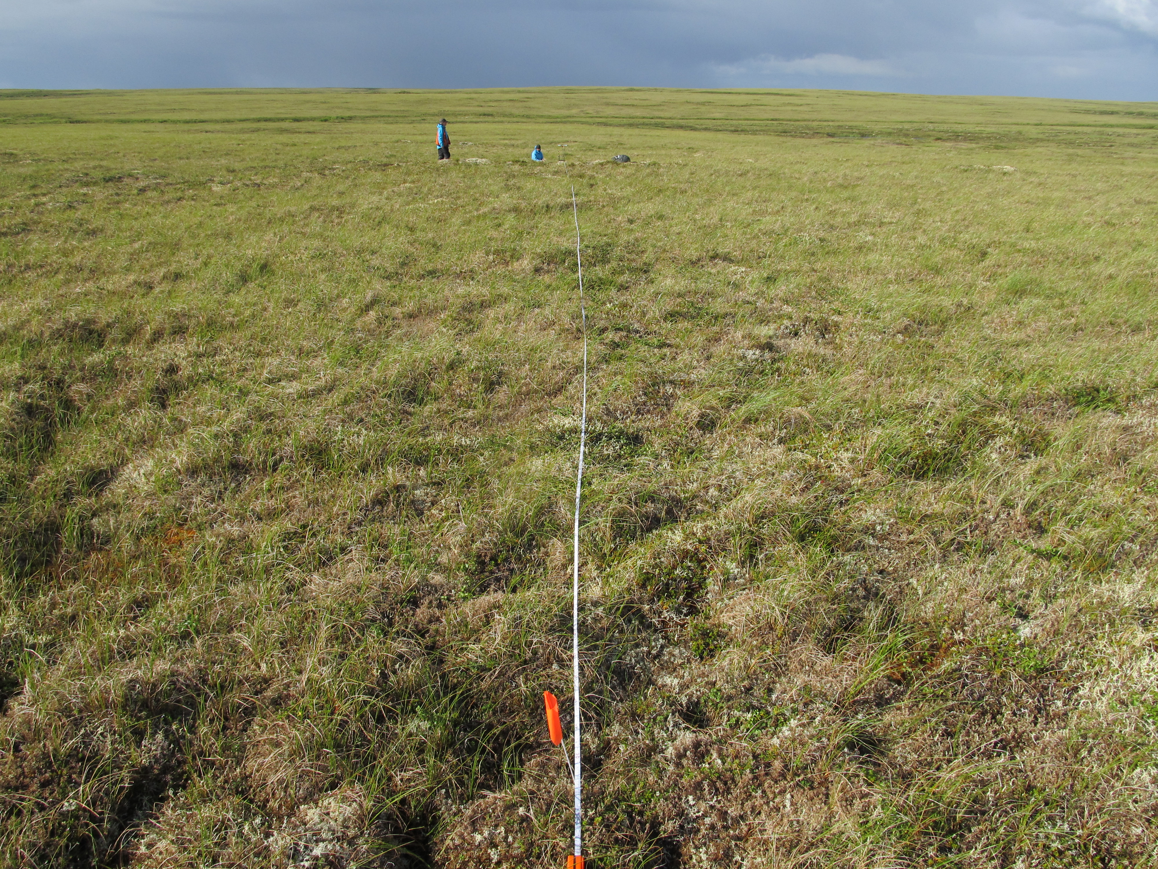
View documentation related to this datasetJPEG
ABoVE: Vegetation Composition across Fire History Gradients on the Y-K Delta,...
-
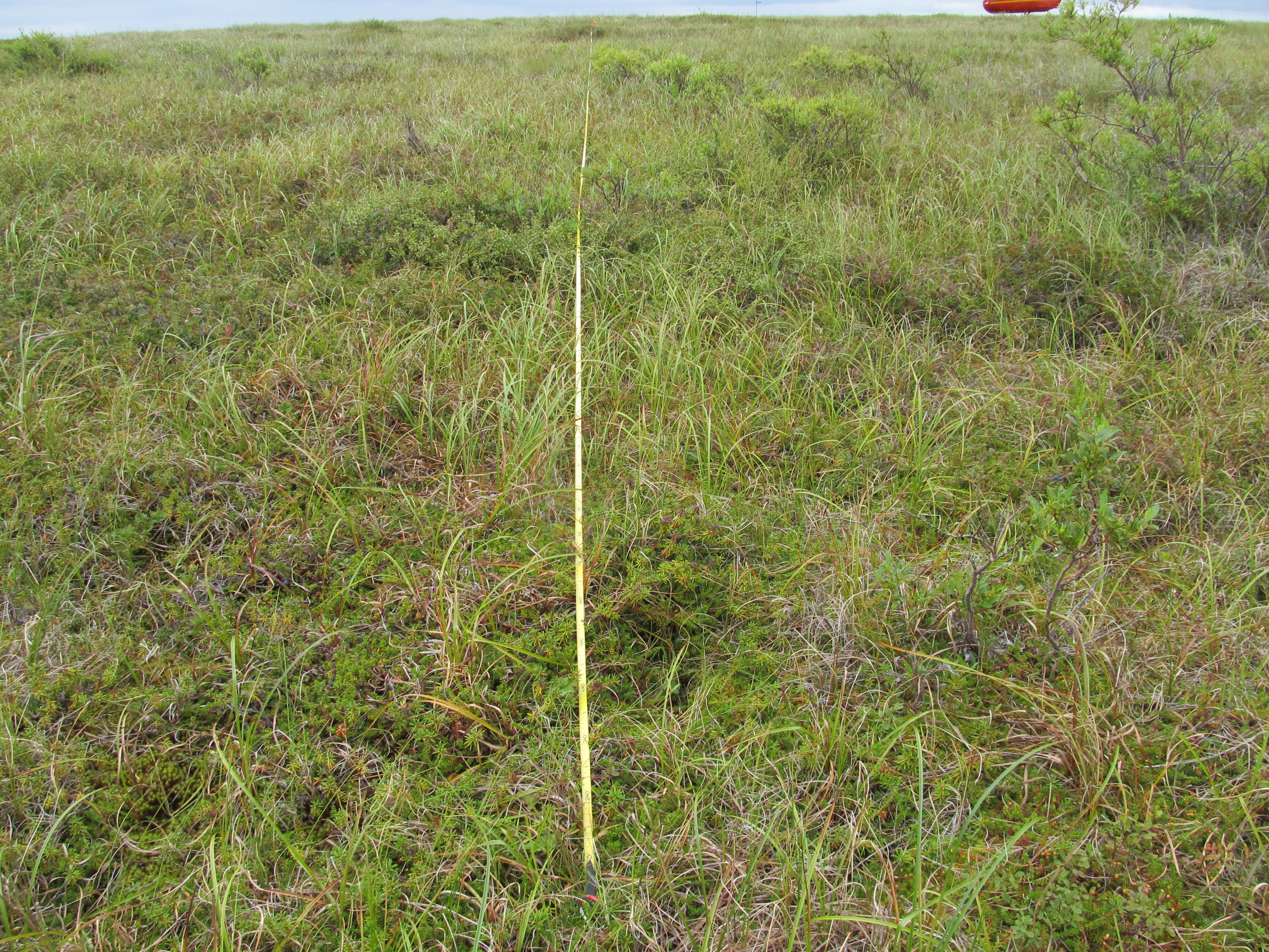
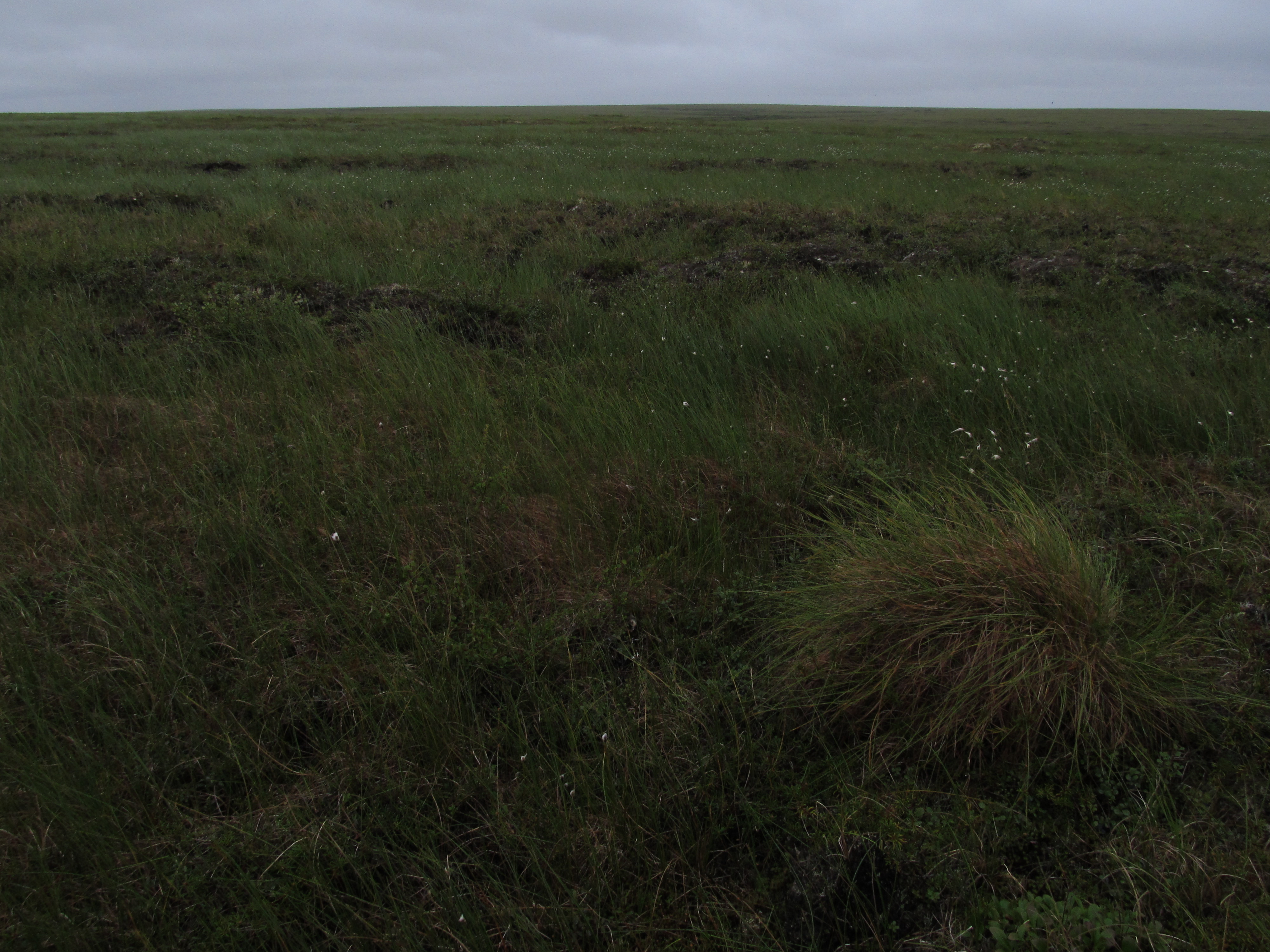
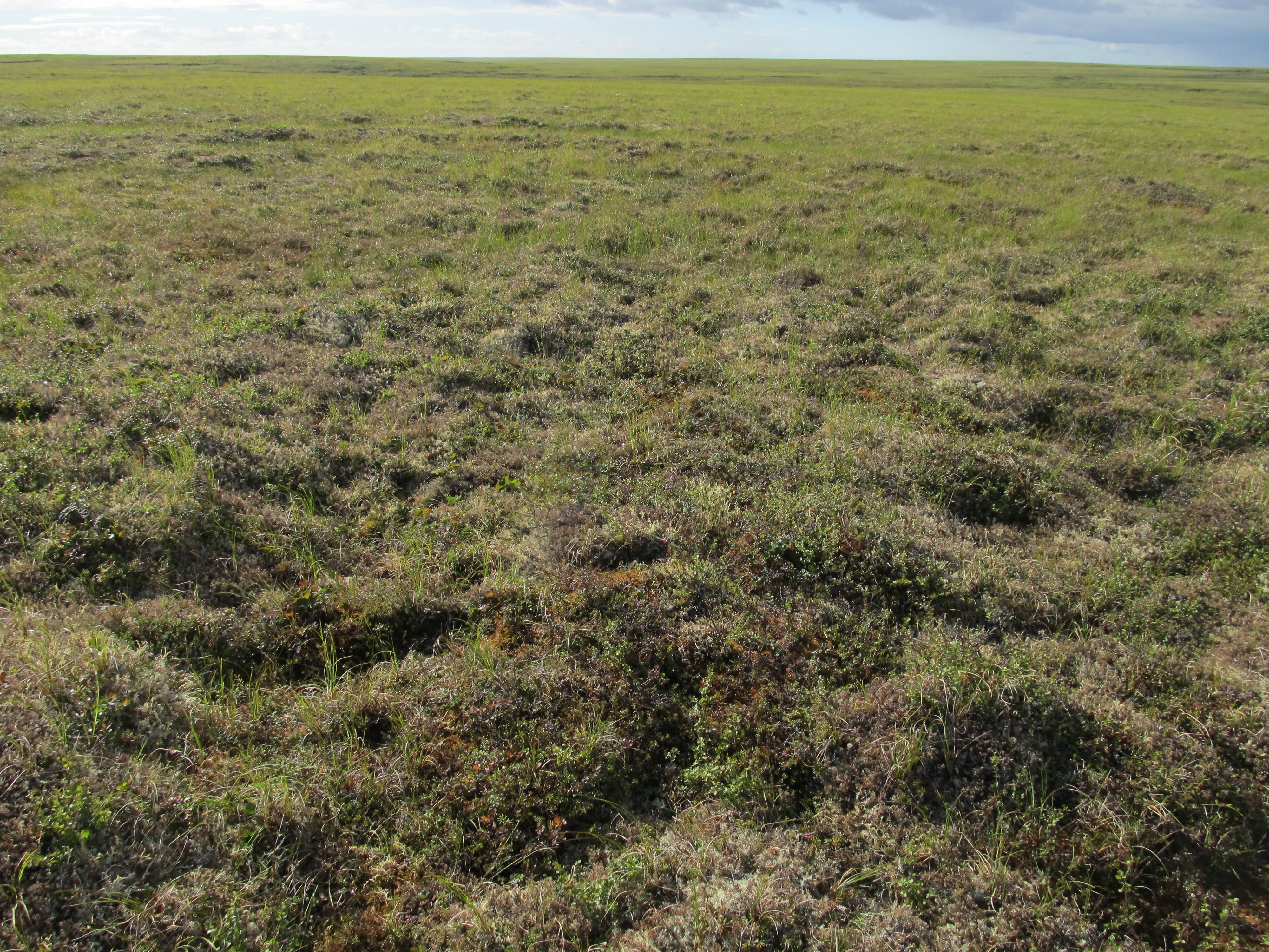
View documentation related to this datasetJPEG
ABoVE: Vegetation Composition across Fire History Gradients on the Y-K Delta,...
-
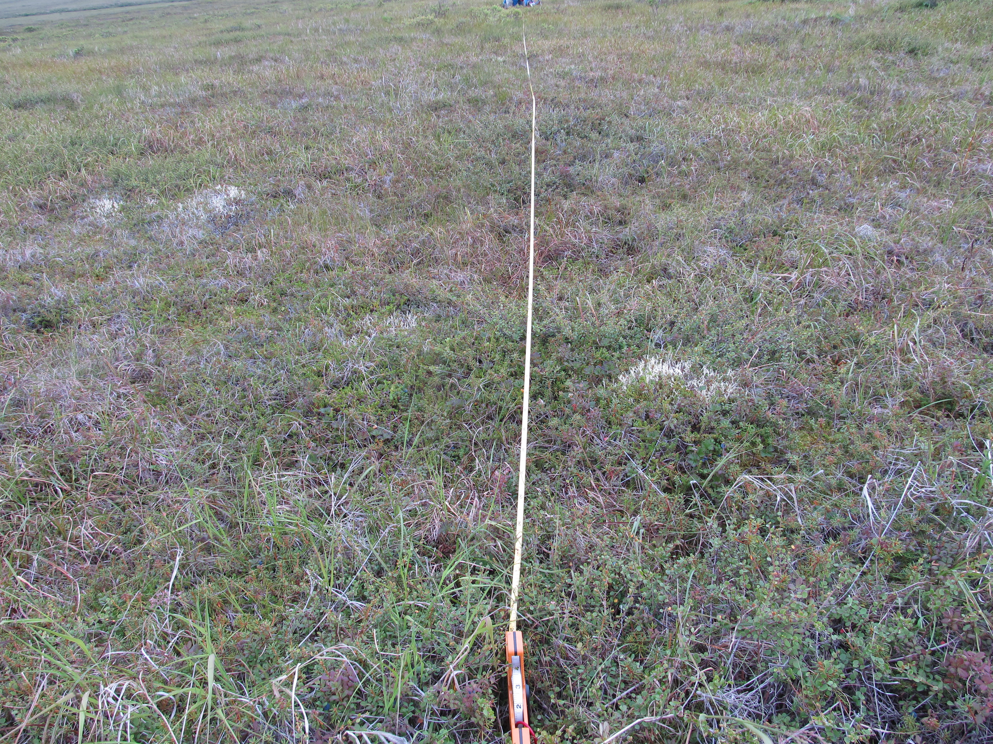
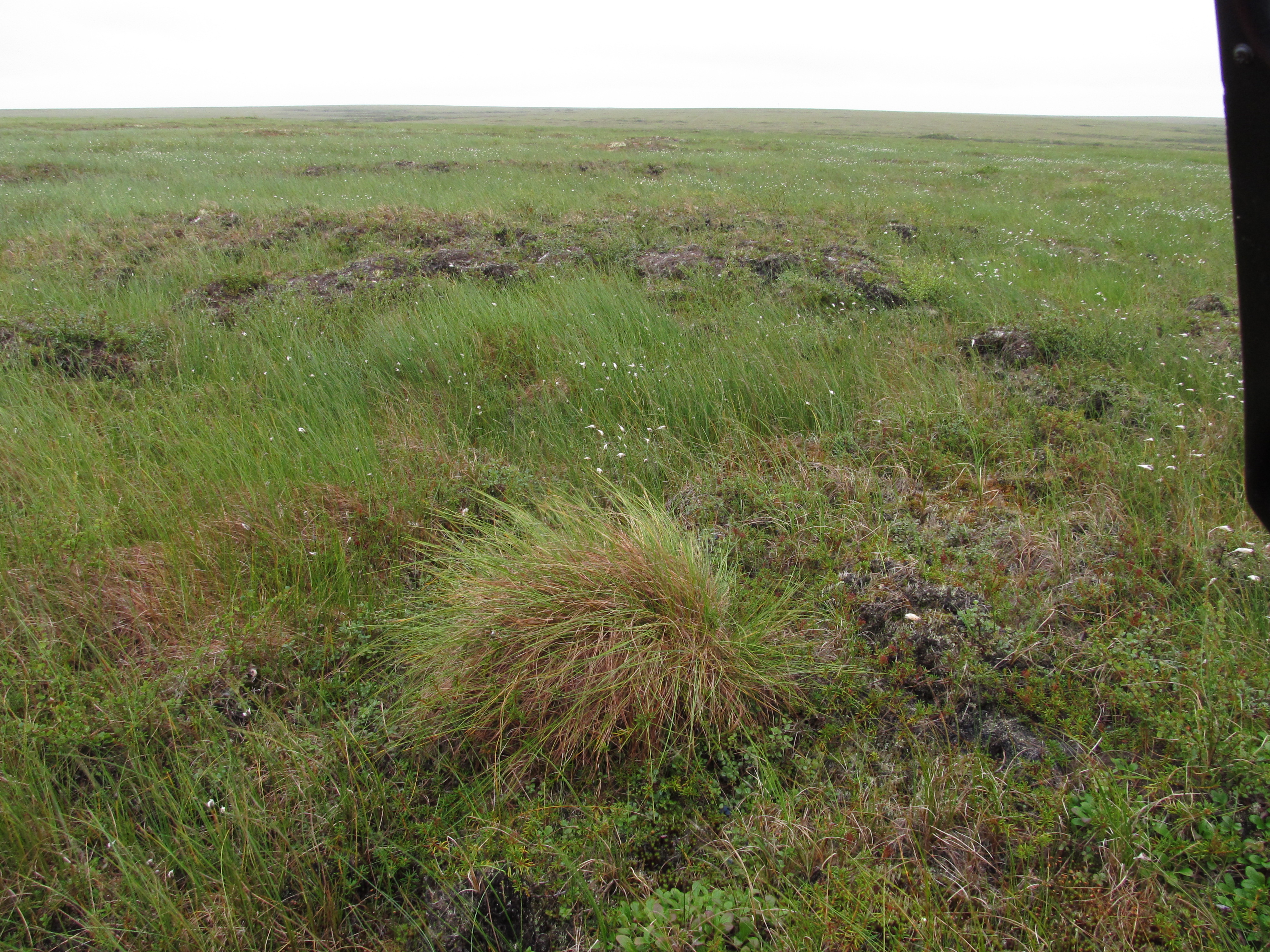
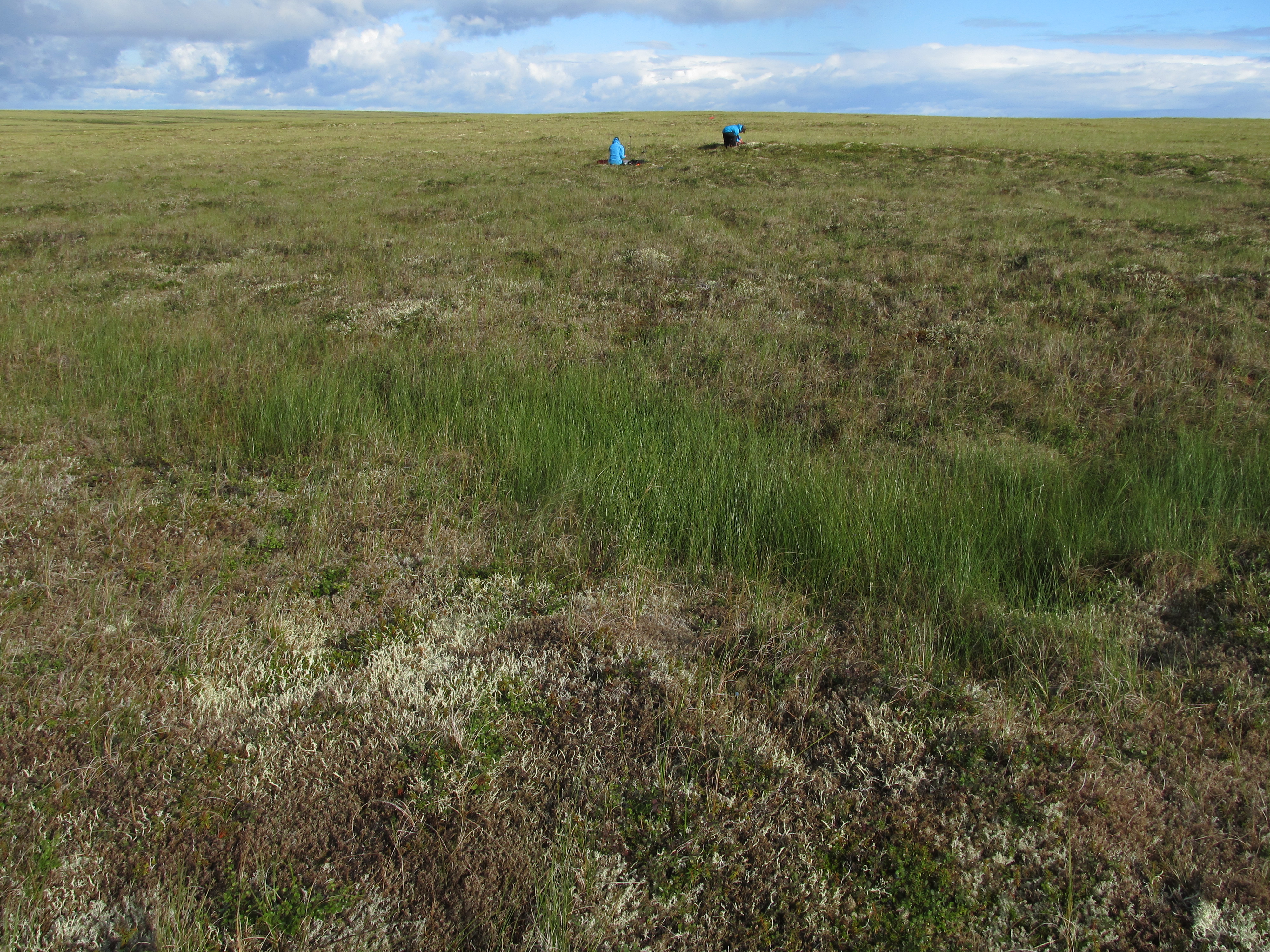
View documentation related to this datasetJPEG
ABoVE: Vegetation Composition across Fire History Gradients on the Y-K Delta,...
-
View documentation related to this datasetJPEG
ABoVE: Vegetation Composition across Fire History Gradients on the Y-K Delta,...
-
View documentation related to this datasetJPEG
ABoVE: Vegetation Composition across Fire History Gradients on the Y-K Delta,...
-
View documentation related to this datasetJPEG
ABoVE: Vegetation Composition across Fire History Gradients on the Y-K Delta,...
-
View documentation related to this datasetJPEG
ABoVE: Vegetation Composition across Fire History Gradients on the Y-K Delta,...
-
View documentation related to this datasetJPEG
ABoVE: Vegetation Composition across Fire History Gradients on the Y-K Delta,...
-
View documentation related to this datasetJPEG
ABoVE: Vegetation Composition across Fire History Gradients on the Y-K Delta,...
-
View documentation related to this datasetJPEG
ABoVE: Vegetation Composition across Fire History Gradients on the Y-K Delta,...
-
View documentation related to this datasetJPEG
ABoVE: Vegetation Composition across Fire History Gradients on the Y-K Delta,...
-
View documentation related to this datasetJPEG
ABoVE: Vegetation Composition across Fire History Gradients on the Y-K Delta,...
-
View documentation related to this datasetJPEG
ABoVE: Vegetation Composition across Fire History Gradients on the Y-K Delta,...
-
View documentation related to this datasetJPEG
ABoVE: Vegetation Composition across Fire History Gradients on the Y-K Delta,...
-
View documentation related to this datasetJPEG
ABoVE: Vegetation Composition across Fire History Gradients on the Y-K Delta,...
-
View documentation related to this datasetJPEG
ABoVE: Vegetation Composition across Fire History Gradients on the Y-K Delta,...
-
View documentation related to this datasetJPEG
ABoVE: Vegetation Composition across Fire History Gradients on the Y-K Delta,...
-
View documentation related to this datasetJPEG
ABoVE: Vegetation Composition across Fire History Gradients on the Y-K Delta,...
-
View documentation related to this datasetJPEG
ABoVE: Vegetation Composition across Fire History Gradients on the Y-K Delta,...
-
View documentation related to this datasetJPEG
ABoVE: Vegetation Composition across Fire History Gradients on the Y-K Delta,...
-
View documentation related to this datasetJPEG
ABoVE: Vegetation Composition across Fire History Gradients on the Y-K Delta,...
-
View documentation related to this datasetJPEG
ABoVE: Vegetation Composition across Fire History Gradients on the Y-K Delta,...
-
View documentation related to this datasetJPEG
ABoVE: Vegetation Composition across Fire History Gradients on the Y-K Delta,...
-
View documentation related to this datasetJPEG
ABoVE: Vegetation Composition across Fire History Gradients on the Y-K Delta,...
-
View documentation related to this datasetJPEG
ABoVE: Vegetation Composition across Fire History Gradients on the Y-K Delta,...
-
View documentation related to this datasetJPEG
ABoVE: Vegetation Composition across Fire History Gradients on the Y-K Delta,...
-
View documentation related to this datasetJPEG
ABoVE: Vegetation Composition across Fire History Gradients on the Y-K Delta,...
-
View documentation related to this datasetJPEG
ABoVE: Vegetation Composition across Fire History Gradients on the Y-K Delta,...
-
View documentation related to this datasetJPEG
ABoVE: Vegetation Composition across Fire History Gradients on the Y-K Delta,...
-
View documentation related to this datasetJPEG
ABoVE: Vegetation Composition across Fire History Gradients on the Y-K Delta,...
-
View documentation related to this datasetJPEG
ABoVE: Vegetation Composition across Fire History Gradients on the Y-K Delta,...
-
View documentation related to this datasetJPEG
ABoVE: Vegetation Composition across Fire History Gradients on the Y-K Delta,...
-
View documentation related to this datasetJPEG
ABoVE: Vegetation Composition across Fire History Gradients on the Y-K Delta,...
-
View documentation related to this datasetJPEG
ABoVE: Vegetation Composition across Fire History Gradients on the Y-K Delta,...
-
View documentation related to this datasetJPEG
ABoVE: Vegetation Composition across Fire History Gradients on the Y-K Delta,...
-
View documentation related to this datasetJPEG
ABoVE: Vegetation Composition across Fire History Gradients on the Y-K Delta,...
-
View documentation related to this datasetJPEG
ABoVE: Vegetation Composition across Fire History Gradients on the Y-K Delta,...
-
View documentation related to this datasetJPEG
ABoVE: Vegetation Composition across Fire History Gradients on the Y-K Delta,...
-
View documentation related to this datasetJPEG
ABoVE: Vegetation Composition across Fire History Gradients on the Y-K Delta,...
-
View documentation related to this datasetJPEG
ABoVE: Vegetation Composition across Fire History Gradients on the Y-K Delta,...
-
View documentation related to this datasetJPEG
ABoVE: Vegetation Composition across Fire History Gradients on the Y-K Delta,...
-
View documentation related to this datasetJPEG
ABoVE: Vegetation Composition across Fire History Gradients on the Y-K Delta,...
-
View documentation related to this datasetJPEG
ABoVE: Vegetation Composition across Fire History Gradients on the Y-K Delta,...
-
View documentation related to this datasetJPEG
ABoVE: Vegetation Composition across Fire History Gradients on the Y-K Delta,...
-
View documentation related to this datasetJPEG
ABoVE: Vegetation Composition across Fire History Gradients on the Y-K Delta,...
-
View documentation related to this datasetJPEG
ABoVE: Vegetation Composition across Fire History Gradients on the Y-K Delta,...
-
View documentation related to this datasetJPEG
ABoVE: Vegetation Composition across Fire History Gradients on the Y-K Delta,...
-
View documentation related to this datasetJPEG
ABoVE: Vegetation Composition across Fire History Gradients on the Y-K Delta,...
-
View documentation related to this datasetJPEG
ABoVE: Vegetation Composition across Fire History Gradients on the Y-K Delta,...
-
View documentation related to this datasetJPEG
ABoVE: Vegetation Composition across Fire History Gradients on the Y-K Delta,...
-
View documentation related to this datasetJPEG
ABoVE: Vegetation Composition across Fire History Gradients on the Y-K Delta,...
-
View documentation related to this datasetJPEG
ABoVE: Vegetation Composition across Fire History Gradients on the Y-K Delta,...
-
View documentation related to this datasetJPEG
ABoVE: Vegetation Composition across Fire History Gradients on the Y-K Delta,...
-
View documentation related to this datasetJPEG
ABoVE: Vegetation Composition across Fire History Gradients on the Y-K Delta,...
-
View documentation related to this datasetJPEG
ABoVE: Vegetation Composition across Fire History Gradients on the Y-K Delta,...
-
View documentation related to this datasetJPEG
ABoVE: Vegetation Composition across Fire History Gradients on the Y-K Delta,...
-
View documentation related to this datasetJPEG
ABoVE: Vegetation Composition across Fire History Gradients on the Y-K Delta,...
-
View documentation related to this datasetJPEG
ABoVE: Vegetation Composition across Fire History Gradients on the Y-K Delta,...
-
View documentation related to this datasetJPEG
ABoVE: Vegetation Composition across Fire History Gradients on the Y-K Delta,...
-
View documentation related to this datasetJPEG
ABoVE: Vegetation Composition across Fire History Gradients on the Y-K Delta,...
-
View documentation related to this datasetJPEG
ABoVE: Vegetation Composition across Fire History Gradients on the Y-K Delta,...
-
View documentation related to this datasetJPEG
ABoVE: Vegetation Composition across Fire History Gradients on the Y-K Delta,...
-
View documentation related to this datasetJPEG
ABoVE: Vegetation Composition across Fire History Gradients on the Y-K Delta,...
-
View documentation related to this datasetJPEG
ABoVE: Vegetation Composition across Fire History Gradients on the Y-K Delta,...
-
View documentation related to this datasetJPEG
ABoVE: Vegetation Composition across Fire History Gradients on the Y-K Delta,...
-
View documentation related to this datasetJPEG
ABoVE: Vegetation Composition across Fire History Gradients on the Y-K Delta,...
-
View documentation related to this datasetJPEG
ABoVE: Vegetation Composition across Fire History Gradients on the Y-K Delta,...
-
View documentation related to this datasetJPEG
ABoVE: Vegetation Composition across Fire History Gradients on the Y-K Delta,...
-
View documentation related to this datasetJPEG
ABoVE: Vegetation Composition across Fire History Gradients on the Y-K Delta,...
-
View documentation related to this datasetJPEG
ABoVE: Vegetation Composition across Fire History Gradients on the Y-K Delta,...
-
View documentation related to this datasetJPEG
ABoVE: Vegetation Composition across Fire History Gradients on the Y-K Delta,...
-
View documentation related to this datasetJPEG
ABoVE: Vegetation Composition across Fire History Gradients on the Y-K Delta,...
-
View documentation related to this datasetJPEG
ABoVE: Vegetation Composition across Fire History Gradients on the Y-K Delta,...
-
View documentation related to this datasetJPEG
ABoVE: Vegetation Composition across Fire History Gradients on the Y-K Delta,...
-
View documentation related to this datasetJPEG
ABoVE: Vegetation Composition across Fire History Gradients on the Y-K Delta,...
-
View documentation related to this datasetJPEG
ABoVE: Vegetation Composition across Fire History Gradients on the Y-K Delta,...
-
View documentation related to this datasetJPEG
ABoVE: Vegetation Composition across Fire History Gradients on the Y-K Delta,...
-
View documentation related to this datasetJPEG
ABoVE: Vegetation Composition across Fire History Gradients on the Y-K Delta,...
-
View documentation related to this datasetJPEG
ABoVE: Vegetation Composition across Fire History Gradients on the Y-K Delta,...
-
View documentation related to this datasetJPEG
ABoVE: Vegetation Composition across Fire History Gradients on the Y-K Delta,...
-
View documentation related to this datasetJPEG
ABoVE: Vegetation Composition across Fire History Gradients on the Y-K Delta,...
-
View documentation related to this datasetJPEG
ABoVE: Vegetation Composition across Fire History Gradients on the Y-K Delta,...
-
View documentation related to this datasetJPEG
ABoVE: Vegetation Composition across Fire History Gradients on the Y-K Delta,...
-
View documentation related to this datasetJPEG
ABoVE: Vegetation Composition across Fire History Gradients on the Y-K Delta,...
-
View documentation related to this datasetJPEG
ABoVE: Vegetation Composition across Fire History Gradients on the Y-K Delta,...
-
View documentation related to this datasetJPEG
ABoVE: Vegetation Composition across Fire History Gradients on the Y-K Delta,...
-
View documentation related to this datasetJPEG
ABoVE: Vegetation Composition across Fire History Gradients on the Y-K Delta,...
-
View documentation related to this datasetJPEG
ABoVE: Vegetation Composition across Fire History Gradients on the Y-K Delta,...
-
View documentation related to this datasetJPEG
ABoVE: Vegetation Composition across Fire History Gradients on the Y-K Delta,...
-
View documentation related to this datasetJPEG
ABoVE: Vegetation Composition across Fire History Gradients on the Y-K Delta,...
-
View documentation related to this datasetJPEG
ABoVE: Vegetation Composition across Fire History Gradients on the Y-K Delta,...
-
View documentation related to this datasetJPEG
ABoVE: Vegetation Composition across Fire History Gradients on the Y-K Delta,...
-
View documentation related to this datasetJPEG
ABoVE: Vegetation Composition across Fire History Gradients on the Y-K Delta,...
-
View documentation related to this datasetJPEG
ABoVE: Vegetation Composition across Fire History Gradients on the Y-K Delta,...
-
View documentation related to this datasetJPEG
ABoVE: Vegetation Composition across Fire History Gradients on the Y-K Delta,...
-
View documentation related to this datasetJPEG
ABoVE: Vegetation Composition across Fire History Gradients on the Y-K Delta,...
-
View documentation related to this datasetJPEG
ABoVE: Vegetation Composition across Fire History Gradients on the Y-K Delta,...
-
View documentation related to this datasetJPEG
ABoVE: Vegetation Composition across Fire History Gradients on the Y-K Delta,...
-
View documentation related to this datasetJPEG
ABoVE: Vegetation Composition across Fire History Gradients on the Y-K Delta,...
-
View documentation related to this datasetJPEG
ABoVE: Vegetation Composition across Fire History Gradients on the Y-K Delta,...
-
View documentation related to this datasetJPEG
ABoVE: Vegetation Composition across Fire History Gradients on the Y-K Delta,...
-
View documentation related to this datasetJPEG
ABoVE: Vegetation Composition across Fire History Gradients on the Y-K Delta,...
-
View documentation related to this datasetJPEG
ABoVE: Vegetation Composition across Fire History Gradients on the Y-K Delta,...
-
View documentation related to this datasetJPEG
ABoVE: Vegetation Composition across Fire History Gradients on the Y-K Delta,...
-
View documentation related to this datasetJPEG
ABoVE: Vegetation Composition across Fire History Gradients on the Y-K Delta,...
-
View documentation related to this datasetJPEG
ABoVE: Vegetation Composition across Fire History Gradients on the Y-K Delta,...
-
View documentation related to this datasetJPEG
ABoVE: Vegetation Composition across Fire History Gradients on the Y-K Delta,...
-
View documentation related to this datasetJPEG
ABoVE: Vegetation Composition across Fire History Gradients on the Y-K Delta,...
-
View documentation related to this datasetJPEG
ABoVE: Vegetation Composition across Fire History Gradients on the Y-K Delta,...
-
View documentation related to this datasetJPEG
ABoVE: Vegetation Composition across Fire History Gradients on the Y-K Delta,...
-
View documentation related to this datasetJPEG
ABoVE: Vegetation Composition across Fire History Gradients on the Y-K Delta,...
-
View documentation related to this datasetJPEG
ABoVE: Vegetation Composition across Fire History Gradients on the Y-K Delta,...
-
View documentation related to this datasetJPEG
ABoVE: Vegetation Composition across Fire History Gradients on the Y-K Delta,...
-
View documentation related to this datasetJPEG
ABoVE: Vegetation Composition across Fire History Gradients on the Y-K Delta,...
-
View documentation related to this datasetJPEG
ABoVE: Vegetation Composition across Fire History Gradients on the Y-K Delta,...
-
View documentation related to this datasetJPEG
ABoVE: Vegetation Composition across Fire History Gradients on the Y-K Delta,...
-
View documentation related to this datasetJPEG
ABoVE: Vegetation Composition across Fire History Gradients on the Y-K Delta,...
-
View documentation related to this datasetJPEG
ABoVE: Vegetation Composition across Fire History Gradients on the Y-K Delta,...
-
View documentation related to this datasetJPEG
ABoVE: Vegetation Composition across Fire History Gradients on the Y-K Delta,...
-
View documentation related to this datasetJPEG
ABoVE: Vegetation Composition across Fire History Gradients on the Y-K Delta,...
-
View documentation related to this datasetJPEG
ABoVE: Vegetation Composition across Fire History Gradients on the Y-K Delta,...
-
View documentation related to this datasetJPEG
ABoVE: Vegetation Composition across Fire History Gradients on the Y-K Delta,...
-
View documentation related to this datasetJPEG
ABoVE: Vegetation Composition across Fire History Gradients on the Y-K Delta,...
-
View documentation related to this datasetJPEG
ABoVE: Vegetation Composition across Fire History Gradients on the Y-K Delta,...
-
View documentation related to this datasetJPEG
ABoVE: Vegetation Composition across Fire History Gradients on the Y-K Delta,...
-
View documentation related to this datasetJPEG
ABoVE: Vegetation Composition across Fire History Gradients on the Y-K Delta,...
-
View documentation related to this datasetJPEG
ABoVE: Vegetation Composition across Fire History Gradients on the Y-K Delta,...
-
View documentation related to this datasetJPEG
ABoVE: Vegetation Composition across Fire History Gradients on the Y-K Delta,...
-
View documentation related to this datasetJPEG
ABoVE: Vegetation Composition across Fire History Gradients on the Y-K Delta,...
-
View documentation related to this datasetJPEG
ABoVE: Vegetation Composition across Fire History Gradients on the Y-K Delta,...
-
View documentation related to this datasetJPEG
ABoVE: Vegetation Composition across Fire History Gradients on the Y-K Delta,...
-
View documentation related to this datasetJPEG
ABoVE: Vegetation Composition across Fire History Gradients on the Y-K Delta,...
-
View documentation related to this datasetJPEG
ABoVE: Vegetation Composition across Fire History Gradients on the Y-K Delta,...
-
View documentation related to this datasetJPEG
ABoVE: Vegetation Composition across Fire History Gradients on the Y-K Delta,...
-
View documentation related to this datasetJPEG
ABoVE: Vegetation Composition across Fire History Gradients on the Y-K Delta,...
-
View documentation related to this datasetJPEG
ABoVE: Vegetation Composition across Fire History Gradients on the Y-K Delta,...
-
View documentation related to this datasetJPEG
ABoVE: Vegetation Composition across Fire History Gradients on the Y-K Delta,...
-
View documentation related to this datasetJPEG
ABoVE: Vegetation Composition across Fire History Gradients on the Y-K Delta,...
-
View documentation related to this datasetJPEG
ABoVE: Vegetation Composition across Fire History Gradients on the Y-K Delta,...
-
View documentation related to this datasetJPEG
ABoVE: Vegetation Composition across Fire History Gradients on the Y-K Delta,...
-
View documentation related to this datasetJPEG
ABoVE: Vegetation Composition across Fire History Gradients on the Y-K Delta,...
-
View documentation related to this datasetJPEG
ABoVE: Vegetation Composition across Fire History Gradients on the Y-K Delta,...
-
View documentation related to this datasetJPEG
ABoVE: Vegetation Composition across Fire History Gradients on the Y-K Delta,...
-
View documentation related to this datasetJPEG
ABoVE: Vegetation Composition across Fire History Gradients on the Y-K Delta,...
-
View documentation related to this datasetJPEG
ABoVE: Vegetation Composition across Fire History Gradients on the Y-K Delta,...
-
View documentation related to this datasetJPEG
ABoVE: Vegetation Composition across Fire History Gradients on the Y-K Delta,...
-
View documentation related to this datasetJPEG
ABoVE: Vegetation Composition across Fire History Gradients on the Y-K Delta,...
-
View documentation related to this datasetJPEG
ABoVE: Vegetation Composition across Fire History Gradients on the Y-K Delta,...
-
View documentation related to this datasetJPEG
ABoVE: Vegetation Composition across Fire History Gradients on the Y-K Delta,...
-
View documentation related to this datasetJPEG
ABoVE: Vegetation Composition across Fire History Gradients on the Y-K Delta,...
-
View documentation related to this datasetJPEG
ABoVE: Vegetation Composition across Fire History Gradients on the Y-K Delta,...
-
View documentation related to this datasetJPEG
ABoVE: Vegetation Composition across Fire History Gradients on the Y-K Delta,...
-
View documentation related to this datasetJPEG
ABoVE: Vegetation Composition across Fire History Gradients on the Y-K Delta,...
-
View documentation related to this datasetJPEG
ABoVE: Vegetation Composition across Fire History Gradients on the Y-K Delta,...
-
View documentation related to this datasetJPEG
ABoVE: Vegetation Composition across Fire History Gradients on the Y-K Delta,...
-
View documentation related to this datasetJPEG
ABoVE: Vegetation Composition across Fire History Gradients on the Y-K Delta,...
-
View documentation related to this datasetJPEG
ABoVE: Vegetation Composition across Fire History Gradients on the Y-K Delta,...
-
View documentation related to this datasetJPEG
ABoVE: Vegetation Composition across Fire History Gradients on the Y-K Delta,...
-
View documentation related to this datasetJPEG
ABoVE: Vegetation Composition across Fire History Gradients on the Y-K Delta,...
-
View documentation related to this datasetJPEG
ABoVE: Vegetation Composition across Fire History Gradients on the Y-K Delta,...
-
View documentation related to this datasetJPEG
ABoVE: Vegetation Composition across Fire History Gradients on the Y-K Delta,...
-
View documentation related to this datasetJPEG
ABoVE: Vegetation Composition across Fire History Gradients on the Y-K Delta,...
-
View documentation related to this datasetJPEG
ABoVE: Vegetation Composition across Fire History Gradients on the Y-K Delta,...
-
View documentation related to this datasetJPEG
ABoVE: Vegetation Composition across Fire History Gradients on the Y-K Delta,...
-
View documentation related to this datasetJPEG
ABoVE: Vegetation Composition across Fire History Gradients on the Y-K Delta,...
-
View documentation related to this datasetJPEG
ABoVE: Vegetation Composition across Fire History Gradients on the Y-K Delta,...
-
View documentation related to this datasetJPEG
ABoVE: Vegetation Composition across Fire History Gradients on the Y-K Delta,...
-
View documentation related to this datasetJPEG
ABoVE: Vegetation Composition across Fire History Gradients on the Y-K Delta,...
-
View documentation related to this datasetJPEG
ABoVE: Vegetation Composition across Fire History Gradients on the Y-K Delta,...
-
View documentation related to this datasetJPEG
ABoVE: Vegetation Composition across Fire History Gradients on the Y-K Delta,...
-
View documentation related to this datasetJPEG
ABoVE: Vegetation Composition across Fire History Gradients on the Y-K Delta,...
-
View documentation related to this datasetJPEG
ABoVE: Vegetation Composition across Fire History Gradients on the Y-K Delta,...
-
View documentation related to this datasetJPEG
ABoVE: Vegetation Composition across Fire History Gradients on the Y-K Delta,...
-
View documentation related to this datasetJPEG
ABoVE: Vegetation Composition across Fire History Gradients on the Y-K Delta,...
-
View documentation related to this datasetJPEG
ABoVE: Vegetation Composition across Fire History Gradients on the Y-K Delta,...
-
View documentation related to this datasetJPEG
ABoVE: Vegetation Composition across Fire History Gradients on the Y-K Delta,...
-
View documentation related to this datasetJPEG
ABoVE: Vegetation Composition across Fire History Gradients on the Y-K Delta,...
-
View documentation related to this datasetJPEG
ABoVE: Vegetation Composition across Fire History Gradients on the Y-K Delta,...
-
View documentation related to this datasetJPEG
ABoVE: Vegetation Composition across Fire History Gradients on the Y-K Delta,...
-
View documentation related to this datasetJPEG
ABoVE: Vegetation Composition across Fire History Gradients on the Y-K Delta,...
-
View documentation related to this datasetJPEG
ABoVE: Vegetation Composition across Fire History Gradients on the Y-K Delta,...
-
View documentation related to this datasetJPEG
ABoVE: Vegetation Composition across Fire History Gradients on the Y-K Delta,...
-
View documentation related to this datasetJPEG
ABoVE: Vegetation Composition across Fire History Gradients on the Y-K Delta,...
-
View documentation related to this datasetJPEG
ABoVE: Vegetation Composition across Fire History Gradients on the Y-K Delta,...
-
View documentation related to this datasetJPEG
ABoVE: Vegetation Composition across Fire History Gradients on the Y-K Delta,...
-
View documentation related to this datasetJPEG
ABoVE: Vegetation Composition across Fire History Gradients on the Y-K Delta,...
-
View documentation related to this datasetJPEG
ABoVE: Vegetation Composition across Fire History Gradients on the Y-K Delta,...
-
View documentation related to this datasetJPEG
ABoVE: Vegetation Composition across Fire History Gradients on the Y-K Delta,...
-
View documentation related to this datasetJPEG
ABoVE: Vegetation Composition across Fire History Gradients on the Y-K Delta,...
-
View documentation related to this datasetJPEG
ABoVE: Vegetation Composition across Fire History Gradients on the Y-K Delta,...
-
View documentation related to this datasetJPEG
ABoVE: Vegetation Composition across Fire History Gradients on the Y-K Delta,...
-
View documentation related to this datasetJPEG
ABoVE: Vegetation Composition across Fire History Gradients on the Y-K Delta,...
-
View documentation related to this datasetJPEG
ABoVE: Vegetation Composition across Fire History Gradients on the Y-K Delta,...
-
View documentation related to this datasetJPEG
ABoVE: Vegetation Composition across Fire History Gradients on the Y-K Delta,...
-
View documentation related to this datasetJPEG
ABoVE: Vegetation Composition across Fire History Gradients on the Y-K Delta,...
-
View documentation related to this datasetJPEG
ABoVE: Vegetation Composition across Fire History Gradients on the Y-K Delta,...
-
View documentation related to this datasetJPEG
ABoVE: Vegetation Composition across Fire History Gradients on the Y-K Delta,...
-
View documentation related to this datasetJPEG
ABoVE: Vegetation Composition across Fire History Gradients on the Y-K Delta,...
-
View documentation related to this datasetJPEG
ABoVE: Vegetation Composition across Fire History Gradients on the Y-K Delta,...
-
View documentation related to this datasetJPEG
ABoVE: Vegetation Composition across Fire History Gradients on the Y-K Delta,...
-
View documentation related to this datasetJPEG
ABoVE: Vegetation Composition across Fire History Gradients on the Y-K Delta,...
-
View documentation related to this datasetJPEG
ABoVE: Vegetation Composition across Fire History Gradients on the Y-K Delta,...
-
View documentation related to this datasetJPEG
ABoVE: Vegetation Composition across Fire History Gradients on the Y-K Delta,...
-
View documentation related to this datasetJPEG
ABoVE: Vegetation Composition across Fire History Gradients on the Y-K Delta,...
-
View documentation related to this datasetJPEG
ABoVE: Vegetation Composition across Fire History Gradients on the Y-K Delta,...
-
View documentation related to this datasetJPEG
ABoVE: Vegetation Composition across Fire History Gradients on the Y-K Delta,...
-
View documentation related to this datasetJPEG
ABoVE: Vegetation Composition across Fire History Gradients on the Y-K Delta,...
-
View documentation related to this datasetJPEG
ABoVE: Vegetation Composition across Fire History Gradients on the Y-K Delta,...
-
View documentation related to this datasetJPEG
ABoVE: Vegetation Composition across Fire History Gradients on the Y-K Delta,...
-
View documentation related to this datasetJPEG
ABoVE: Vegetation Composition across Fire History Gradients on the Y-K Delta,...
-
View documentation related to this datasetJPEG
ABoVE: Vegetation Composition across Fire History Gradients on the Y-K Delta,...
-
View documentation related to this datasetJPEG
ABoVE: Vegetation Composition across Fire History Gradients on the Y-K Delta,...
-
View documentation related to this datasetJPEG
ABoVE: Vegetation Composition across Fire History Gradients on the Y-K Delta,...
-
View documentation related to this datasetJPEG
ABoVE: Vegetation Composition across Fire History Gradients on the Y-K Delta,...
-
View documentation related to this datasetJPEG
ABoVE: Vegetation Composition across Fire History Gradients on the Y-K Delta,...
-
View documentation related to this datasetJPEG
ABoVE: Vegetation Composition across Fire History Gradients on the Y-K Delta,...
-
View documentation related to this datasetJPEG
ABoVE: Vegetation Composition across Fire History Gradients on the Y-K Delta,...
-
View documentation related to this datasetJPEG
ABoVE: Vegetation Composition across Fire History Gradients on the Y-K Delta,...
-
View documentation related to this datasetJPEG
ABoVE: Vegetation Composition across Fire History Gradients on the Y-K Delta,...
-
View documentation related to this datasetJPEG
ABoVE: Vegetation Composition across Fire History Gradients on the Y-K Delta,...
-
View documentation related to this datasetJPEG
ABoVE: Vegetation Composition across Fire History Gradients on the Y-K Delta,...
-
View documentation related to this datasetJPEG
ABoVE: Vegetation Composition across Fire History Gradients on the Y-K Delta,...
-
View documentation related to this datasetJPEG
ABoVE: Vegetation Composition across Fire History Gradients on the Y-K Delta,...
-
View documentation related to this datasetJPEG
ABoVE: Vegetation Composition across Fire History Gradients on the Y-K Delta,...
-
View documentation related to this datasetJPEG
ABoVE: Vegetation Composition across Fire History Gradients on the Y-K Delta,...
-
View documentation related to this datasetJPEG
ABoVE: Vegetation Composition across Fire History Gradients on the Y-K Delta,...
-
View documentation related to this datasetJPEG
ABoVE: Vegetation Composition across Fire History Gradients on the Y-K Delta,...
-
View documentation related to this datasetJPEG
ABoVE: Vegetation Composition across Fire History Gradients on the Y-K Delta,...
-
View documentation related to this datasetJPEG
ABoVE: Vegetation Composition across Fire History Gradients on the Y-K Delta,...
-
View documentation related to this datasetJPEG
ABoVE: Vegetation Composition across Fire History Gradients on the Y-K Delta,...
-
View documentation related to this datasetJPEG
ABoVE: Vegetation Composition across Fire History Gradients on the Y-K Delta,...
-
View documentation related to this datasetJPEG
ABoVE: Vegetation Composition across Fire History Gradients on the Y-K Delta,...
-
View documentation related to this datasetJPEG
ABoVE: Vegetation Composition across Fire History Gradients on the Y-K Delta,...
-
View documentation related to this datasetJPEG
ABoVE: Vegetation Composition across Fire History Gradients on the Y-K Delta,...
-
View documentation related to this datasetJPEG
ABoVE: Vegetation Composition across Fire History Gradients on the Y-K Delta,...
-
View documentation related to this datasetJPEG
ABoVE: Vegetation Composition across Fire History Gradients on the Y-K Delta,...
-
View documentation related to this datasetJPEG
ABoVE: Vegetation Composition across Fire History Gradients on the Y-K Delta,...
-
View documentation related to this datasetJPEG
ABoVE: Vegetation Composition across Fire History Gradients on the Y-K Delta,...
-
View documentation related to this datasetJPEG
ABoVE: Vegetation Composition across Fire History Gradients on the Y-K Delta,...
-
View documentation related to this datasetJPEG
ABoVE: Vegetation Composition across Fire History Gradients on the Y-K Delta,...
-
View documentation related to this datasetJPEG
ABoVE: Vegetation Composition across Fire History Gradients on the Y-K Delta,...
-
Get a related visualizationPNG
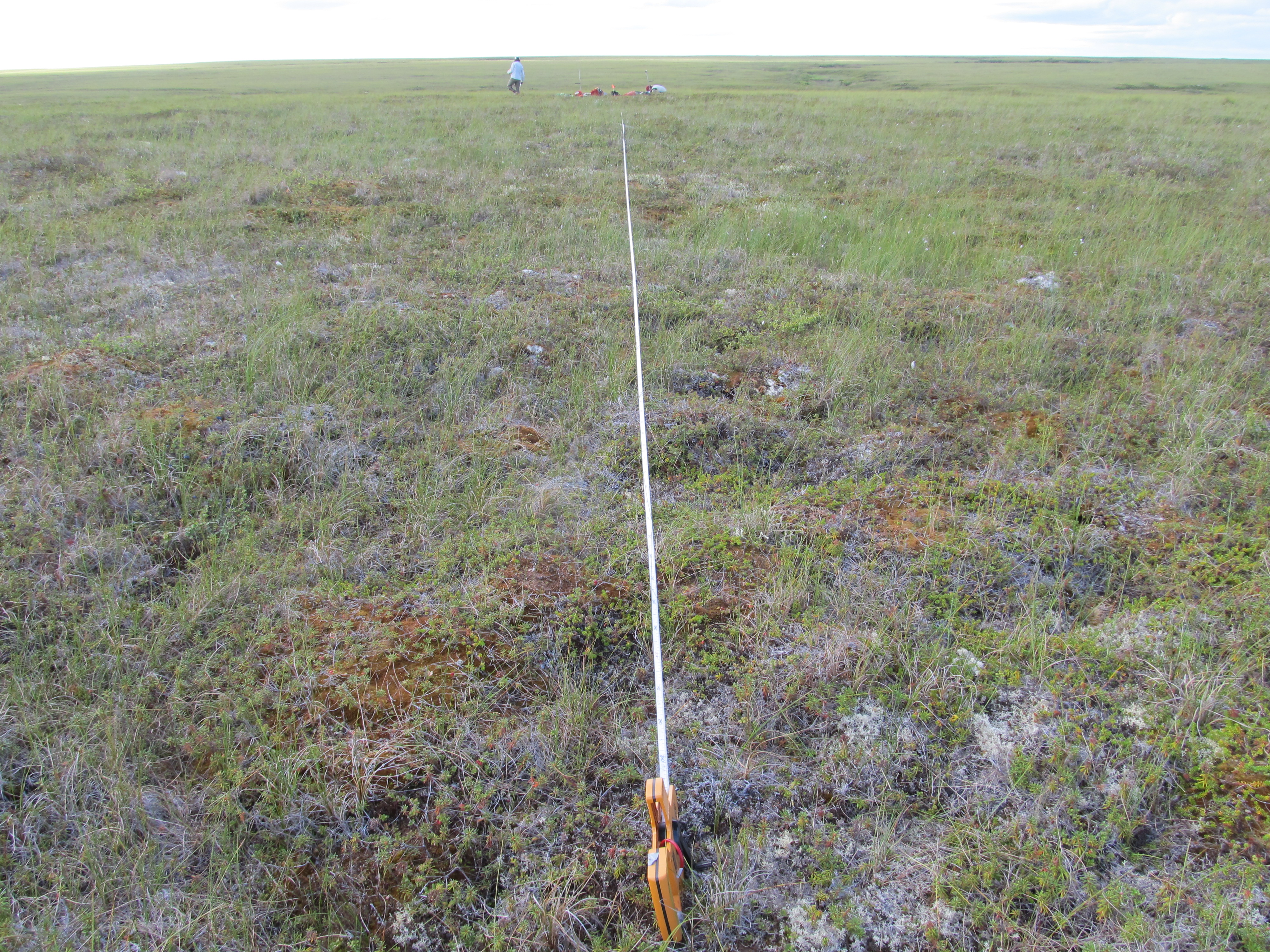
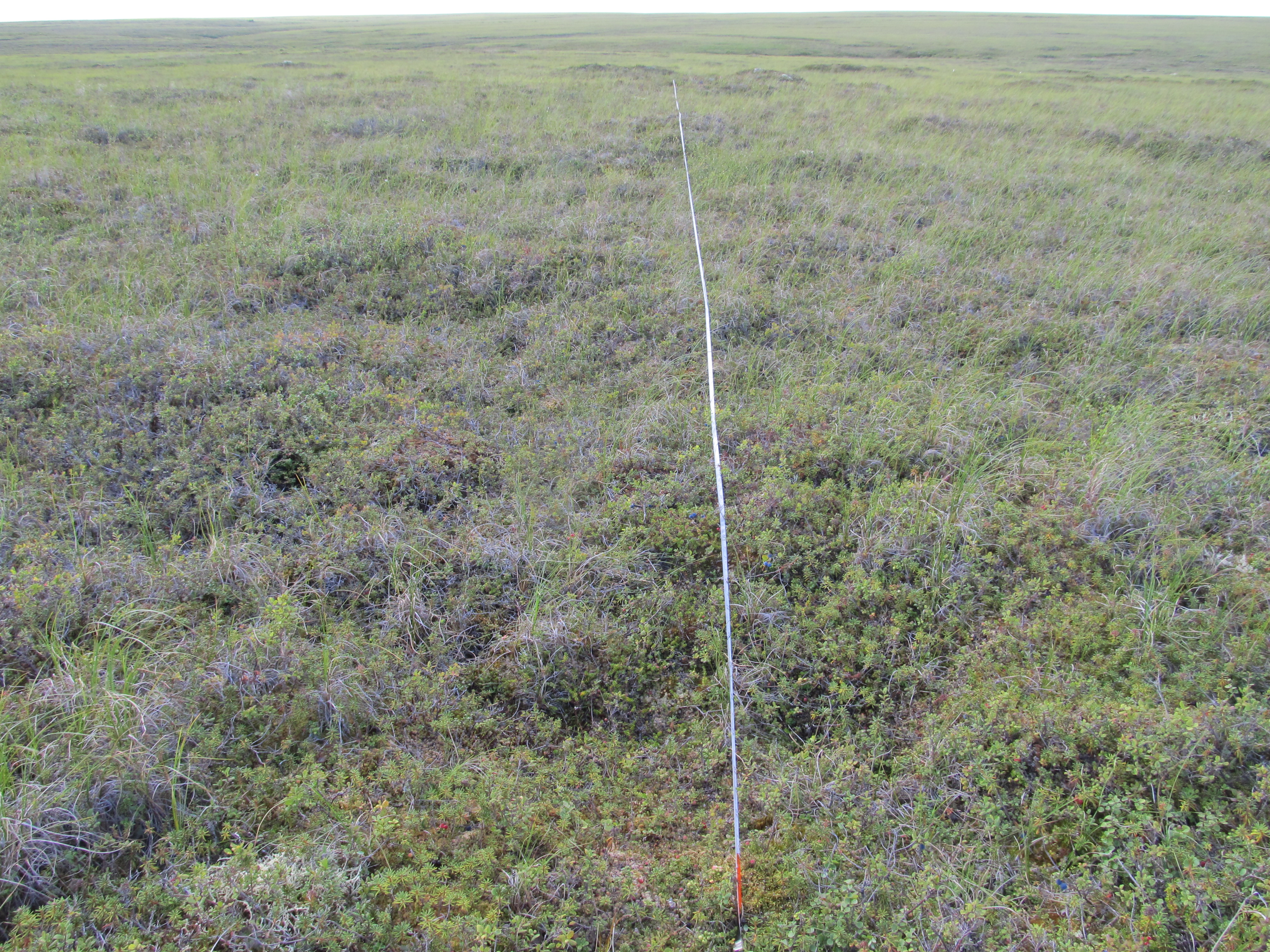
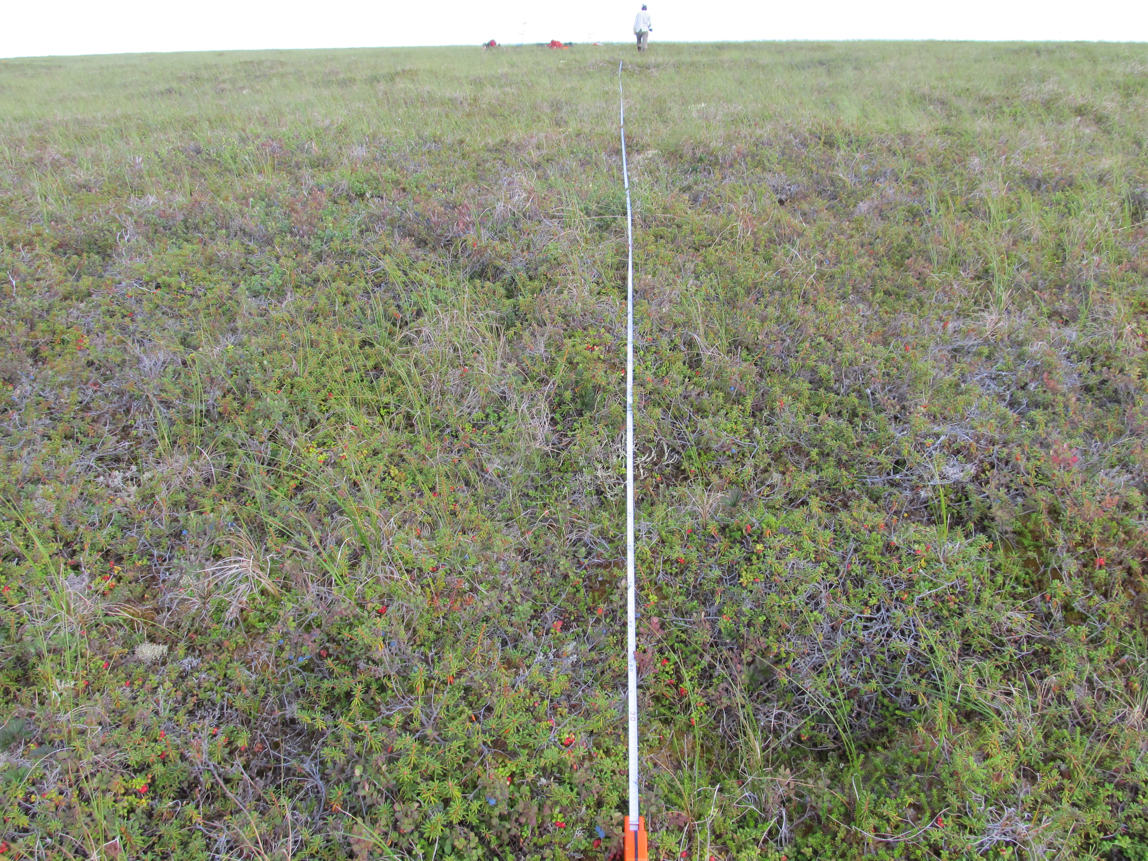
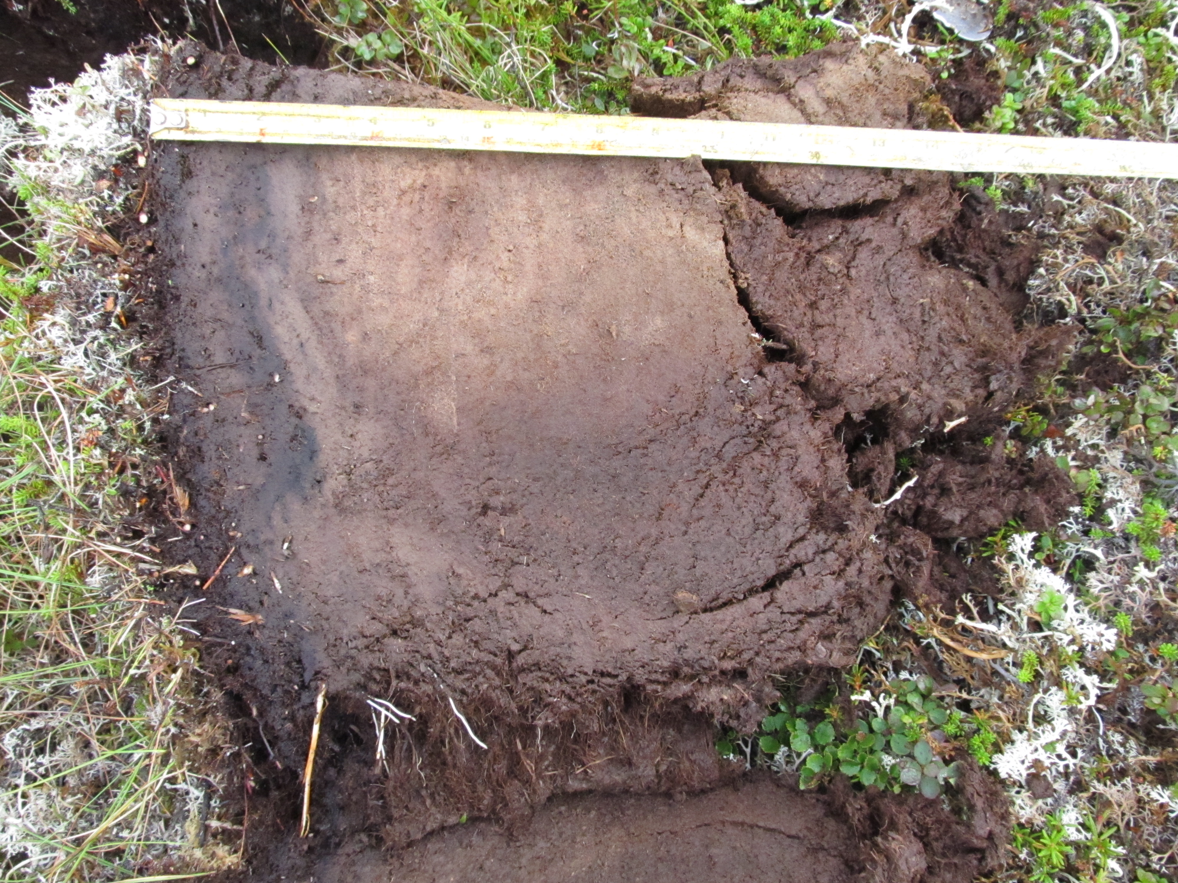
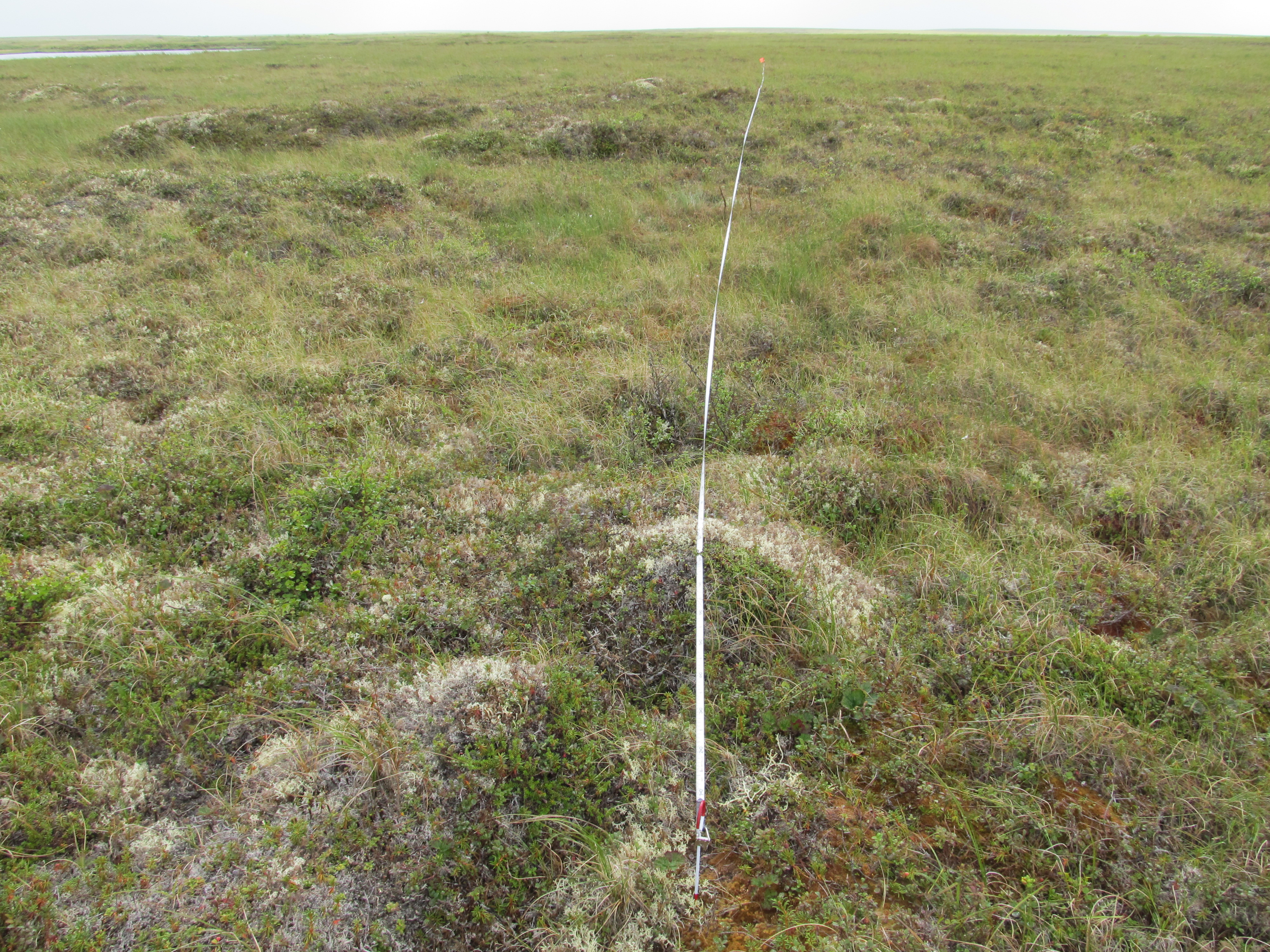
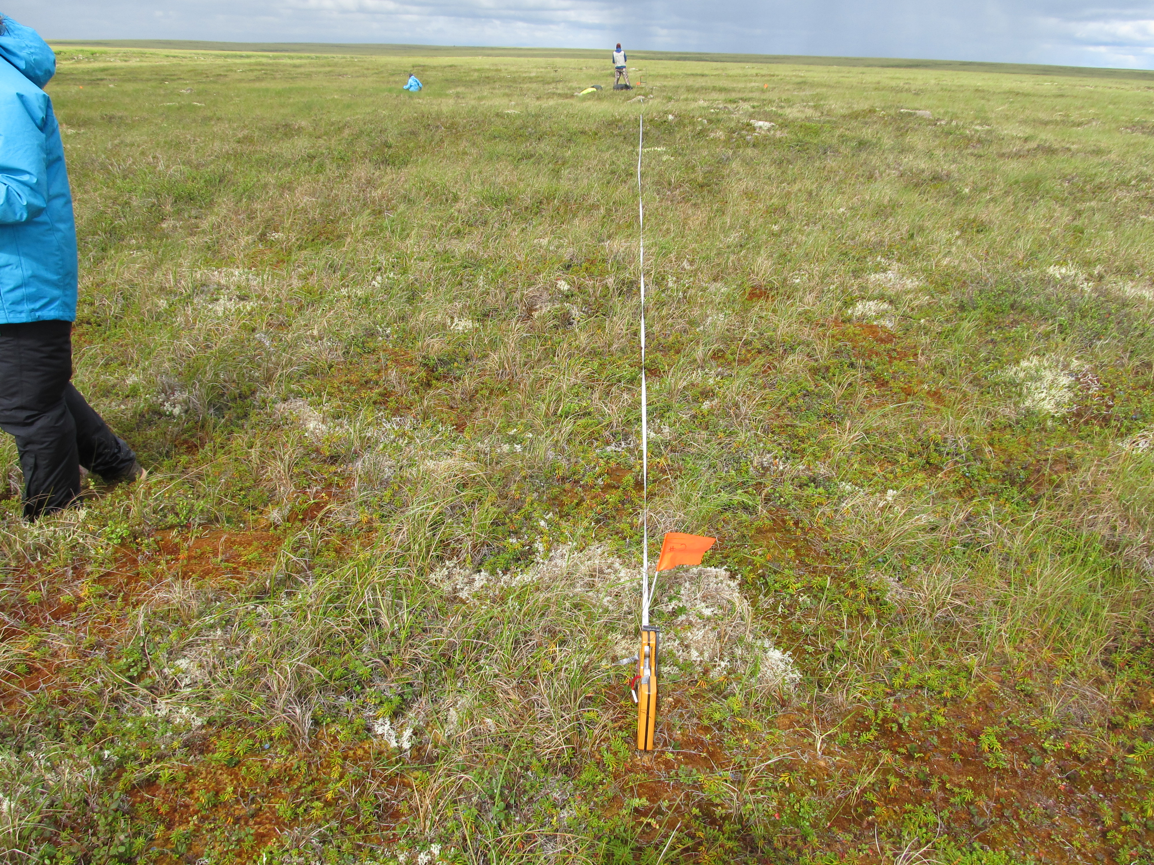
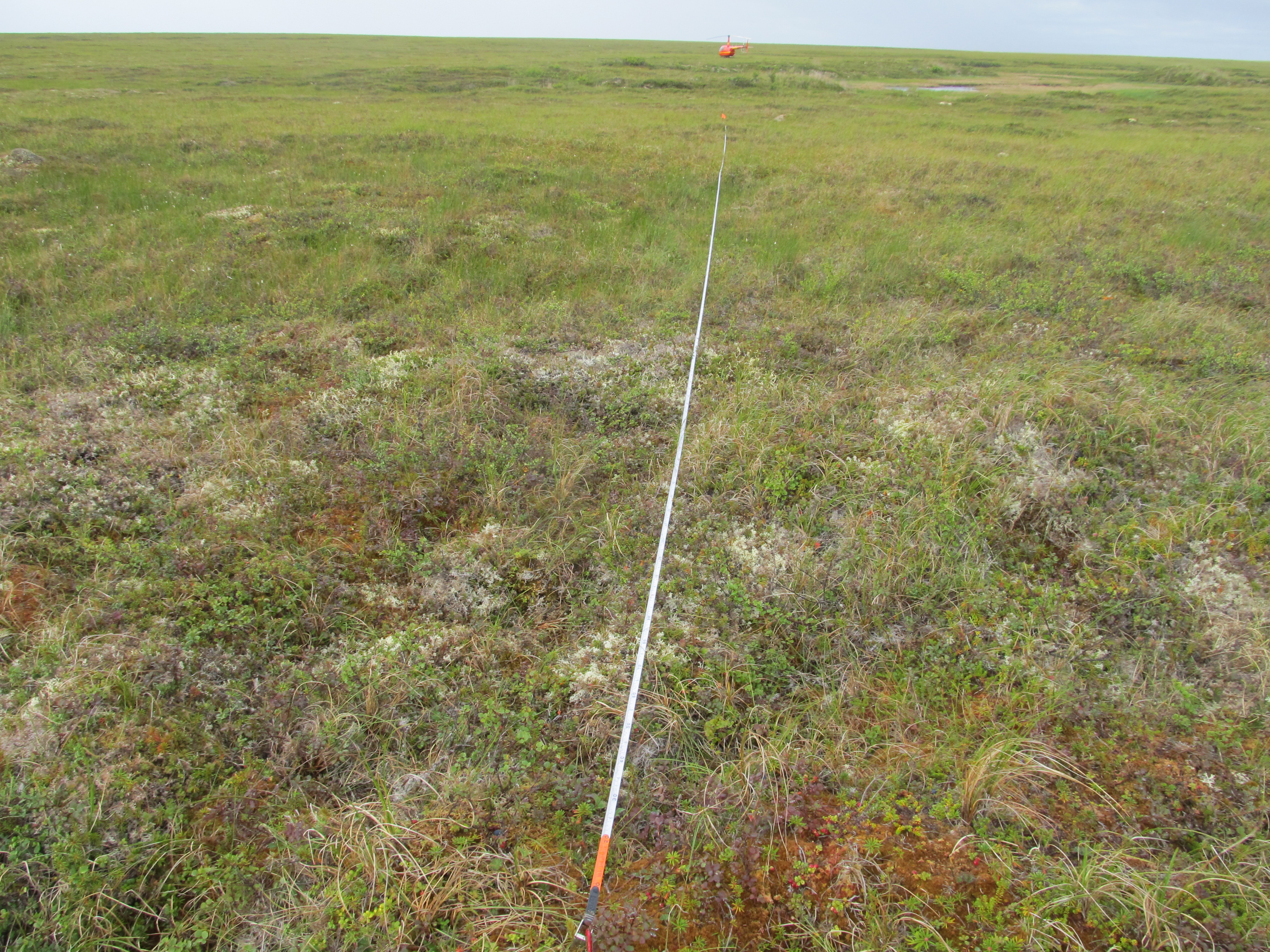
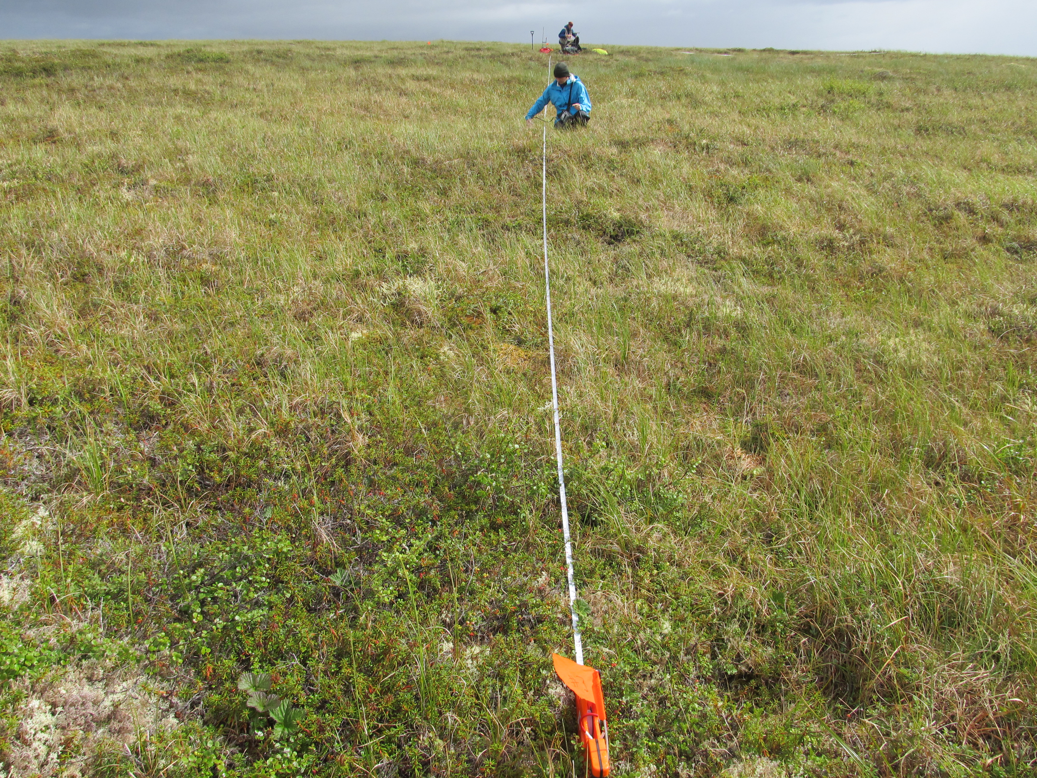
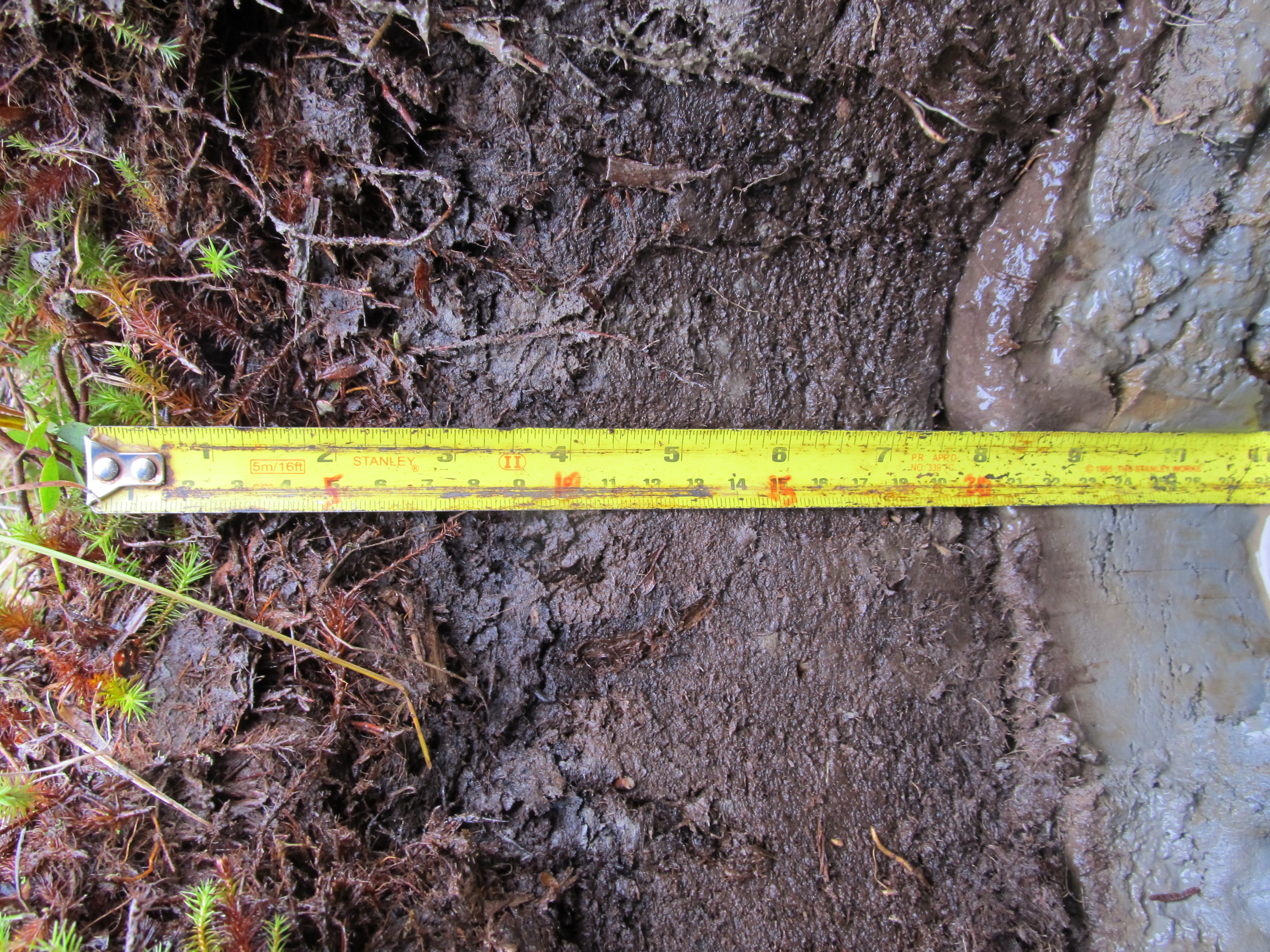
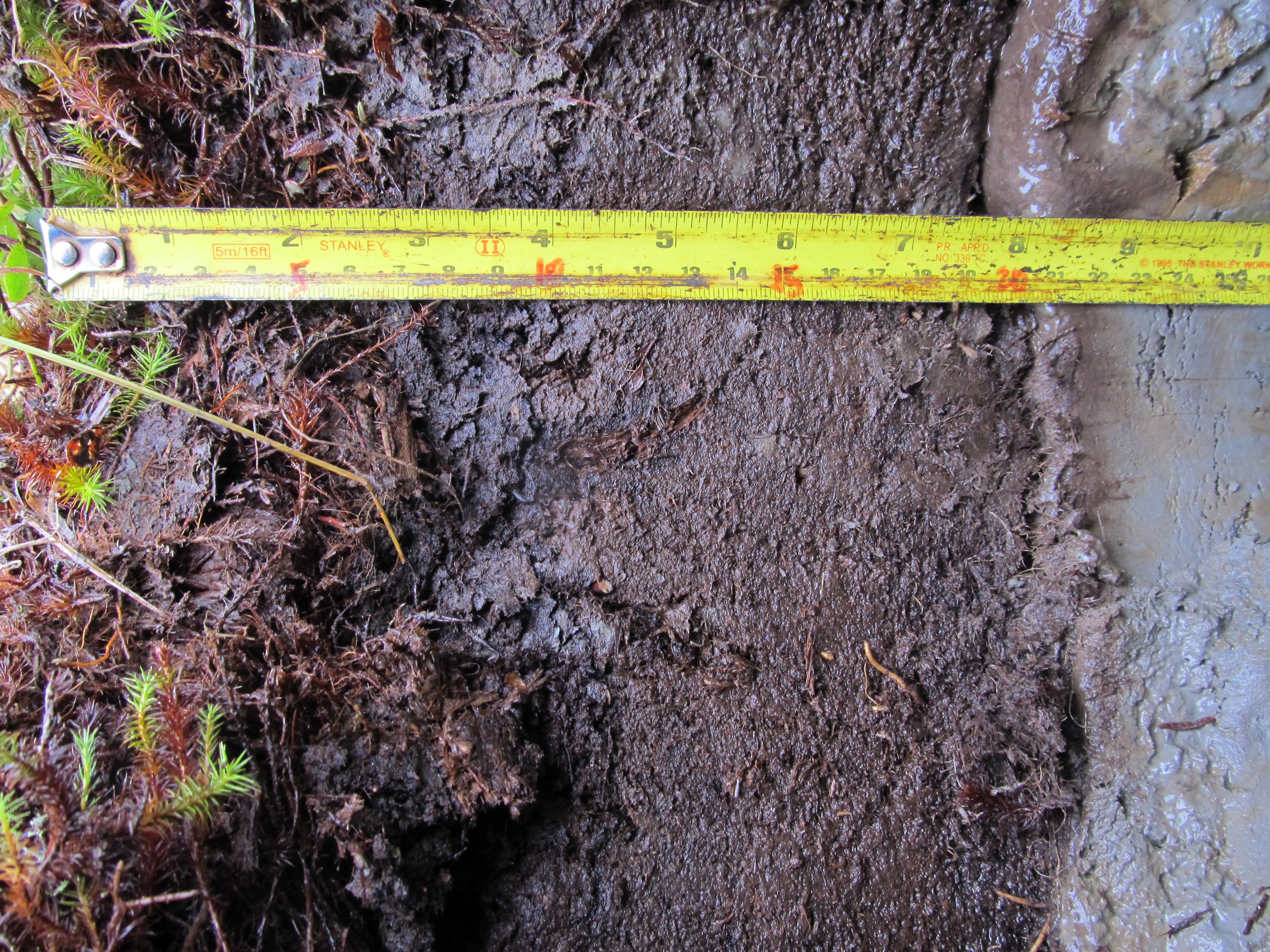
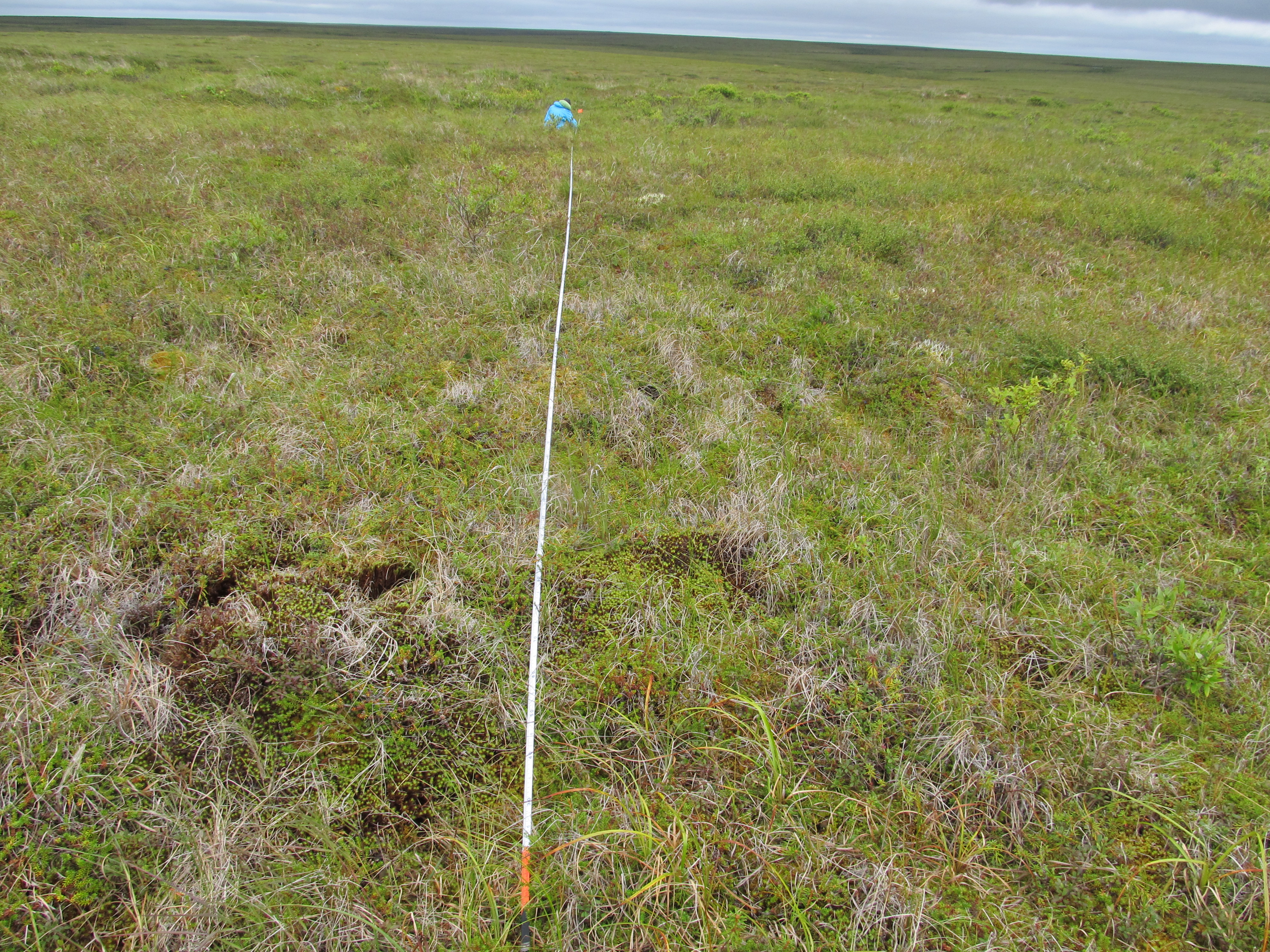
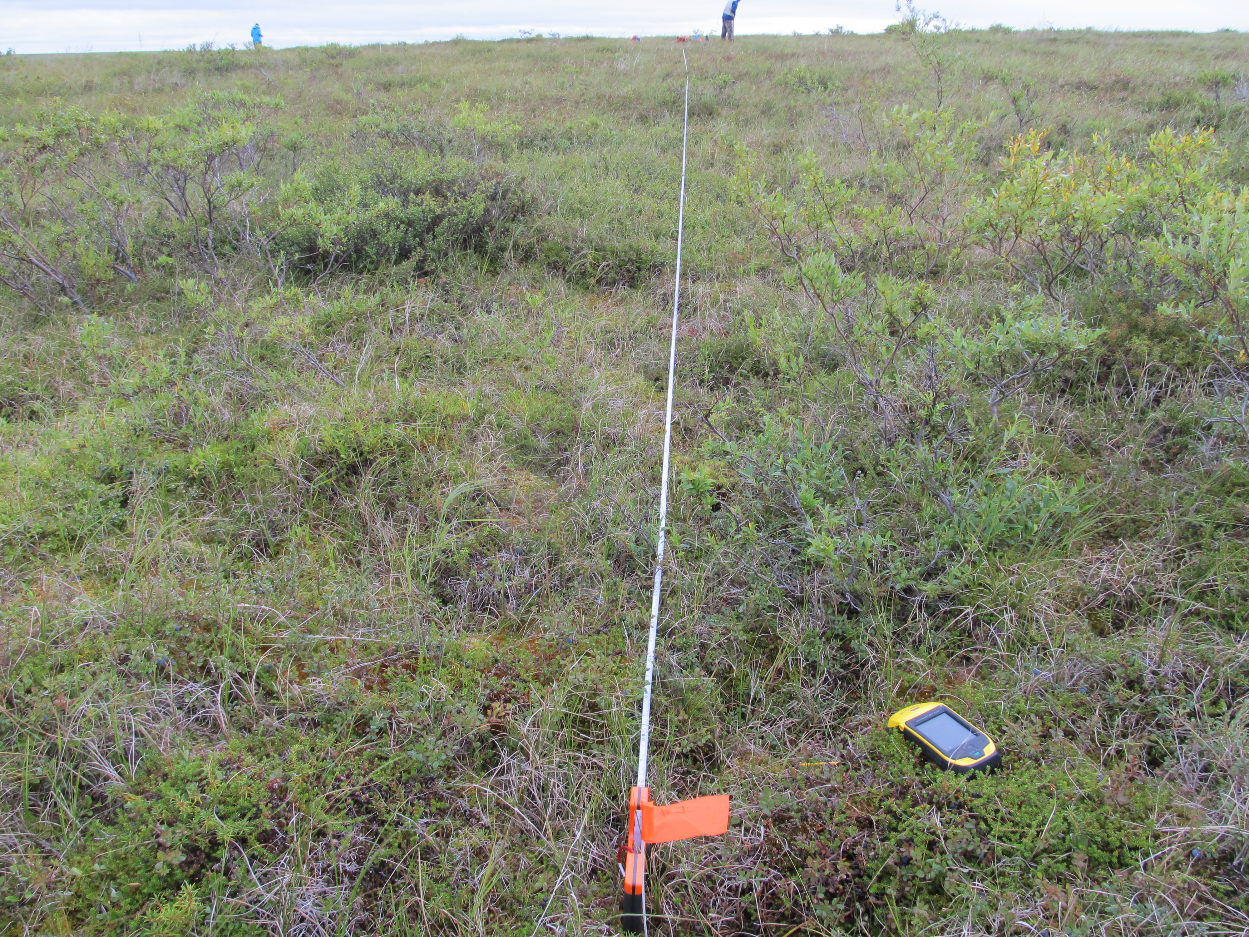
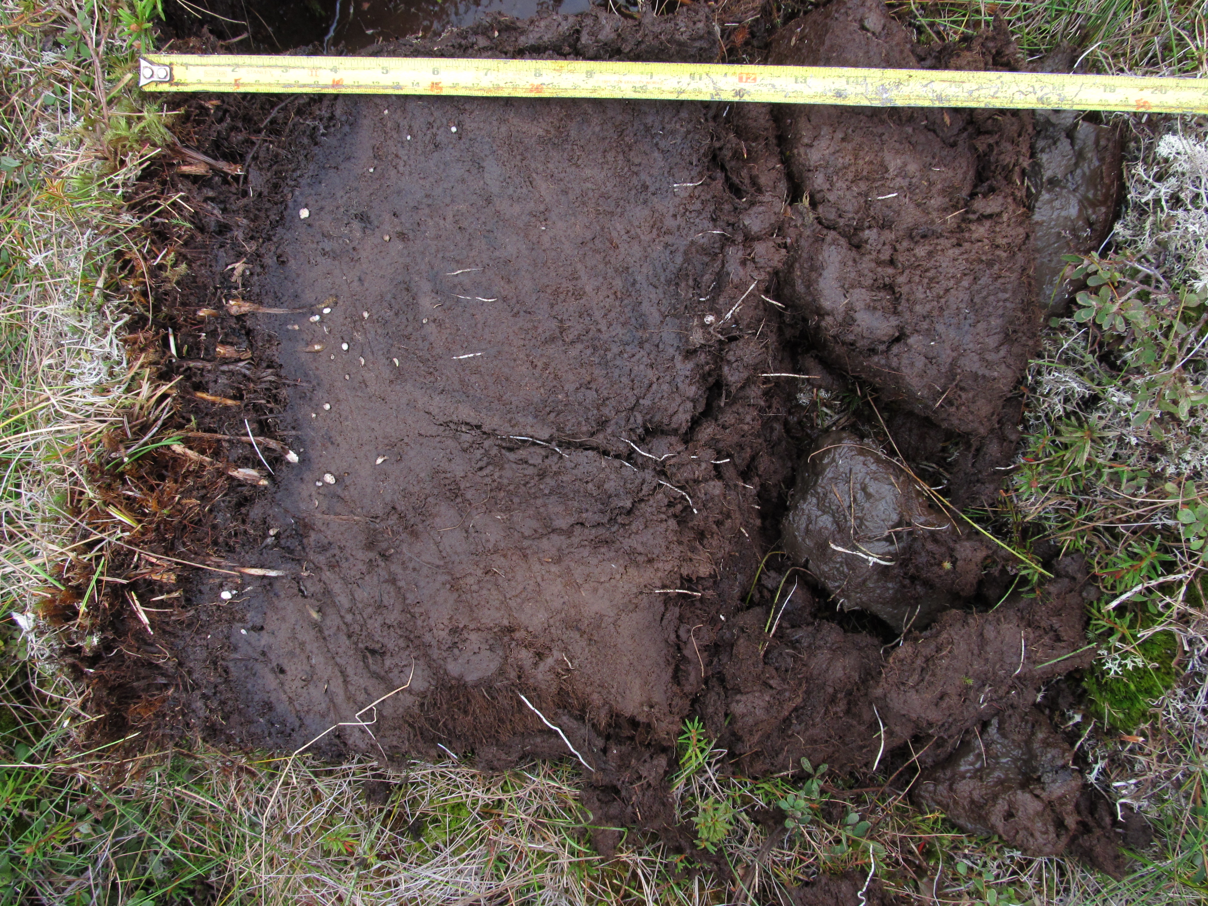
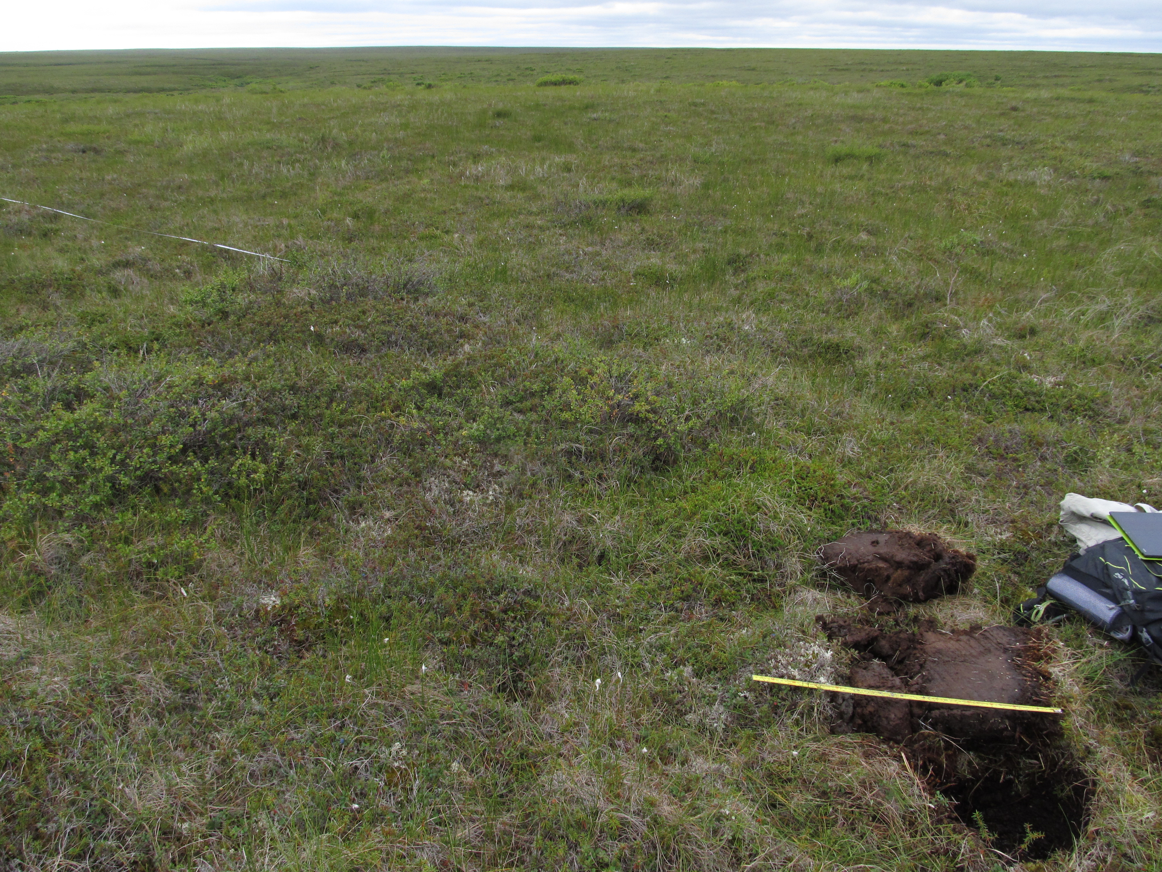
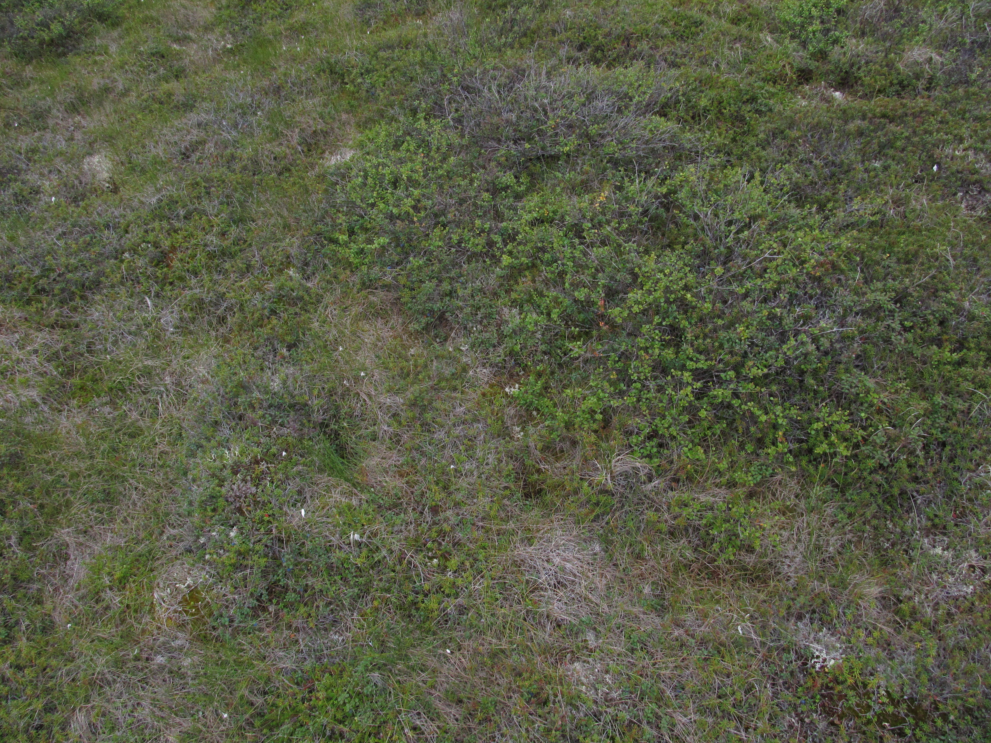
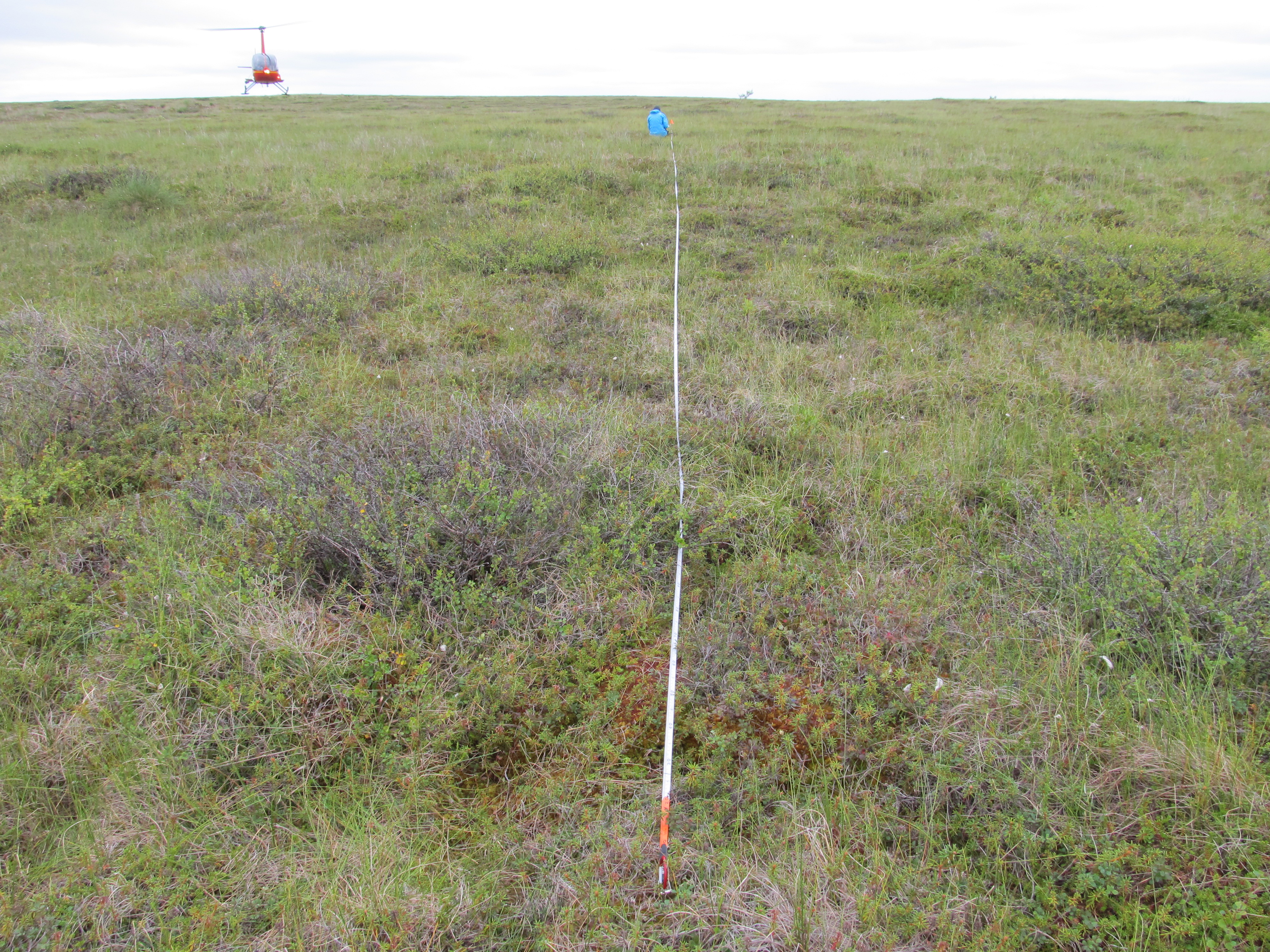
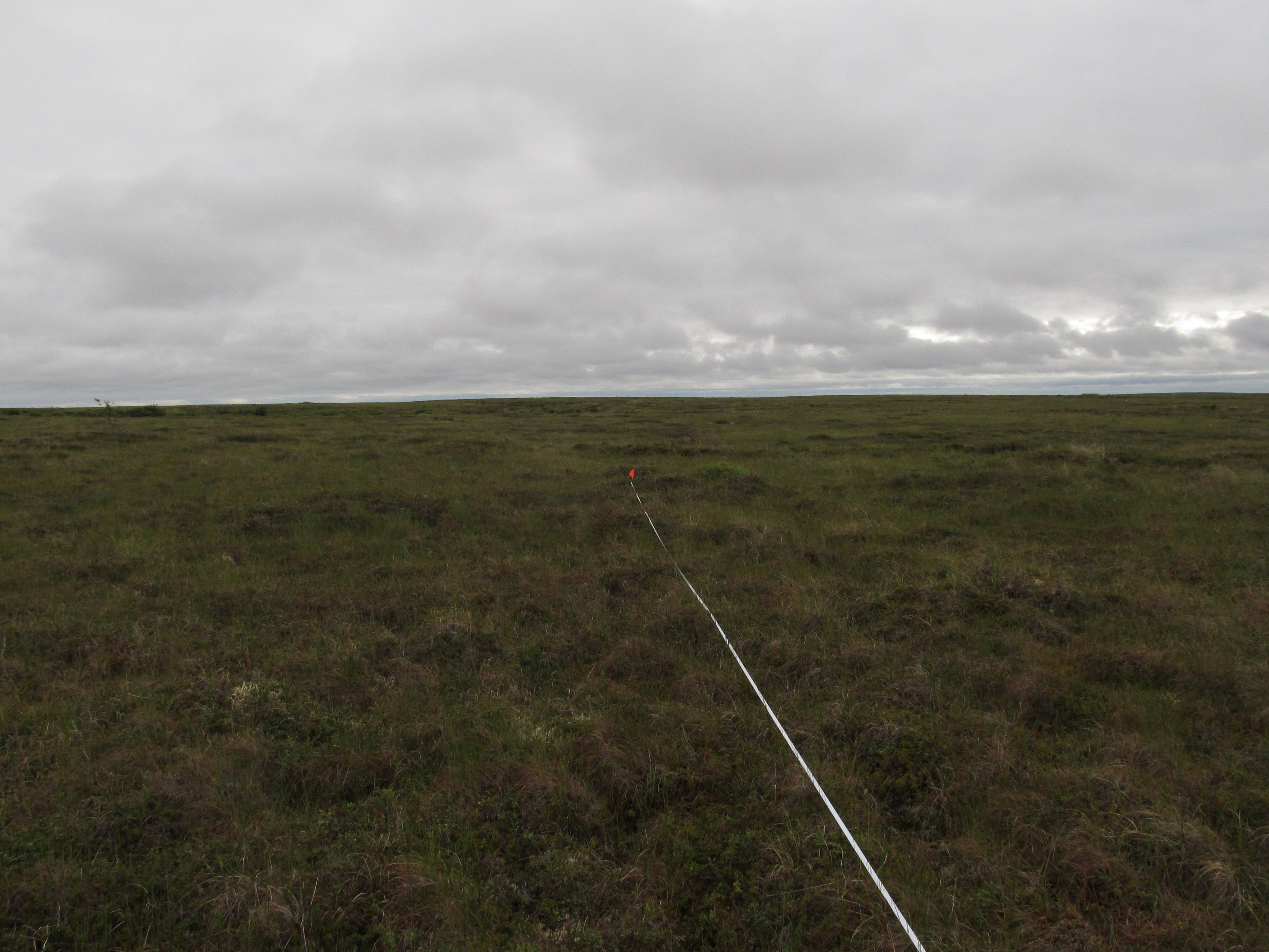
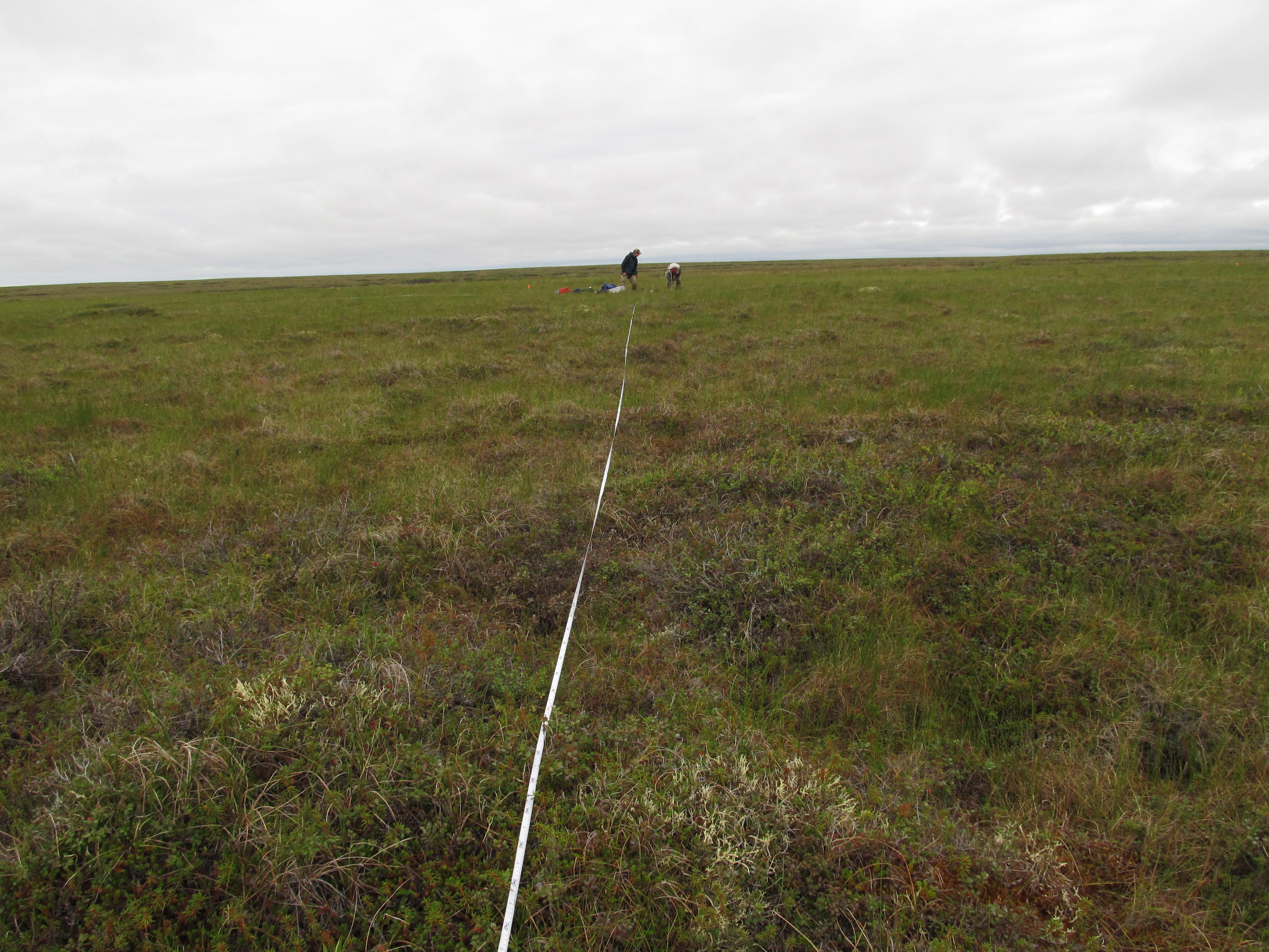
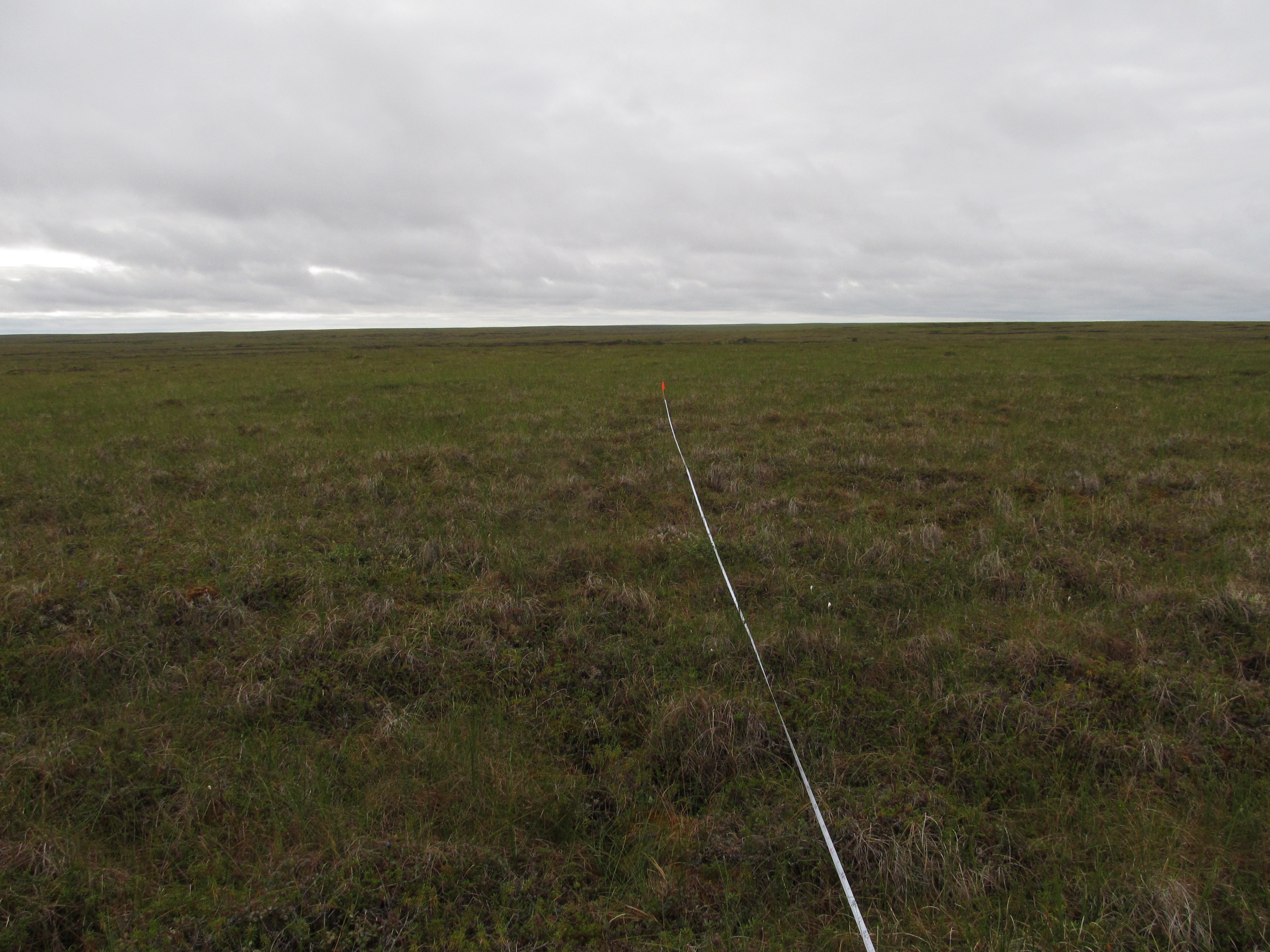
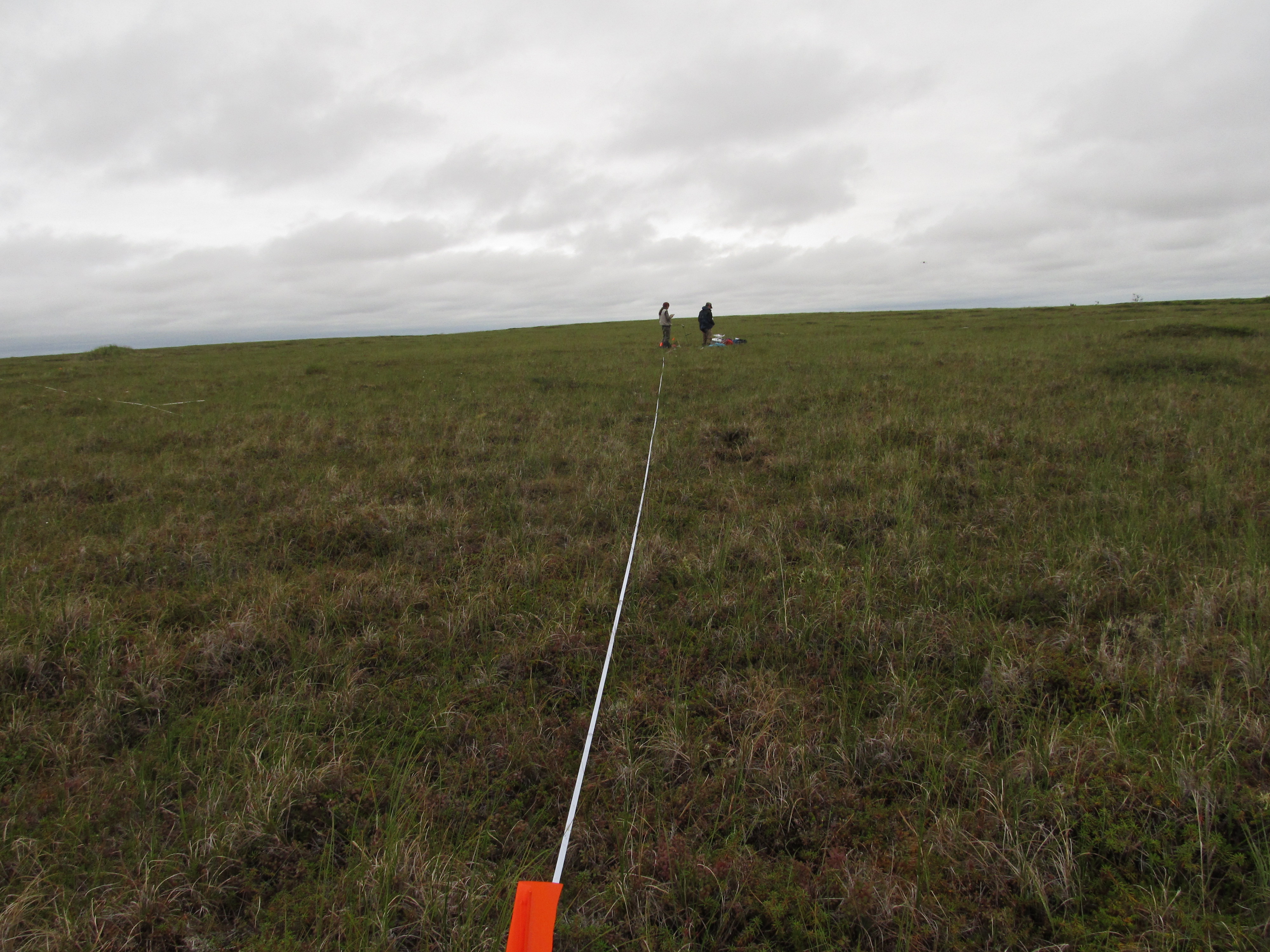
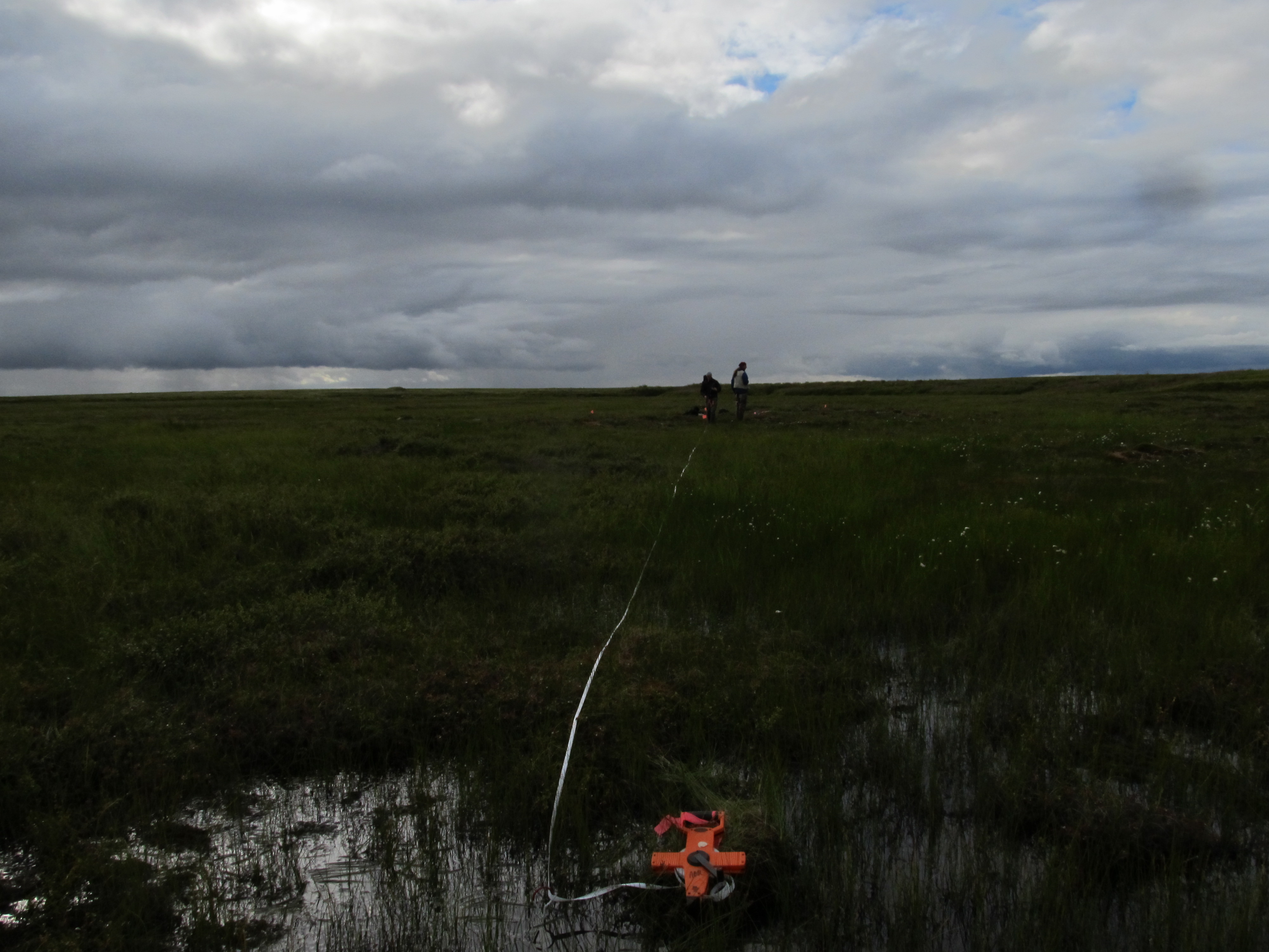
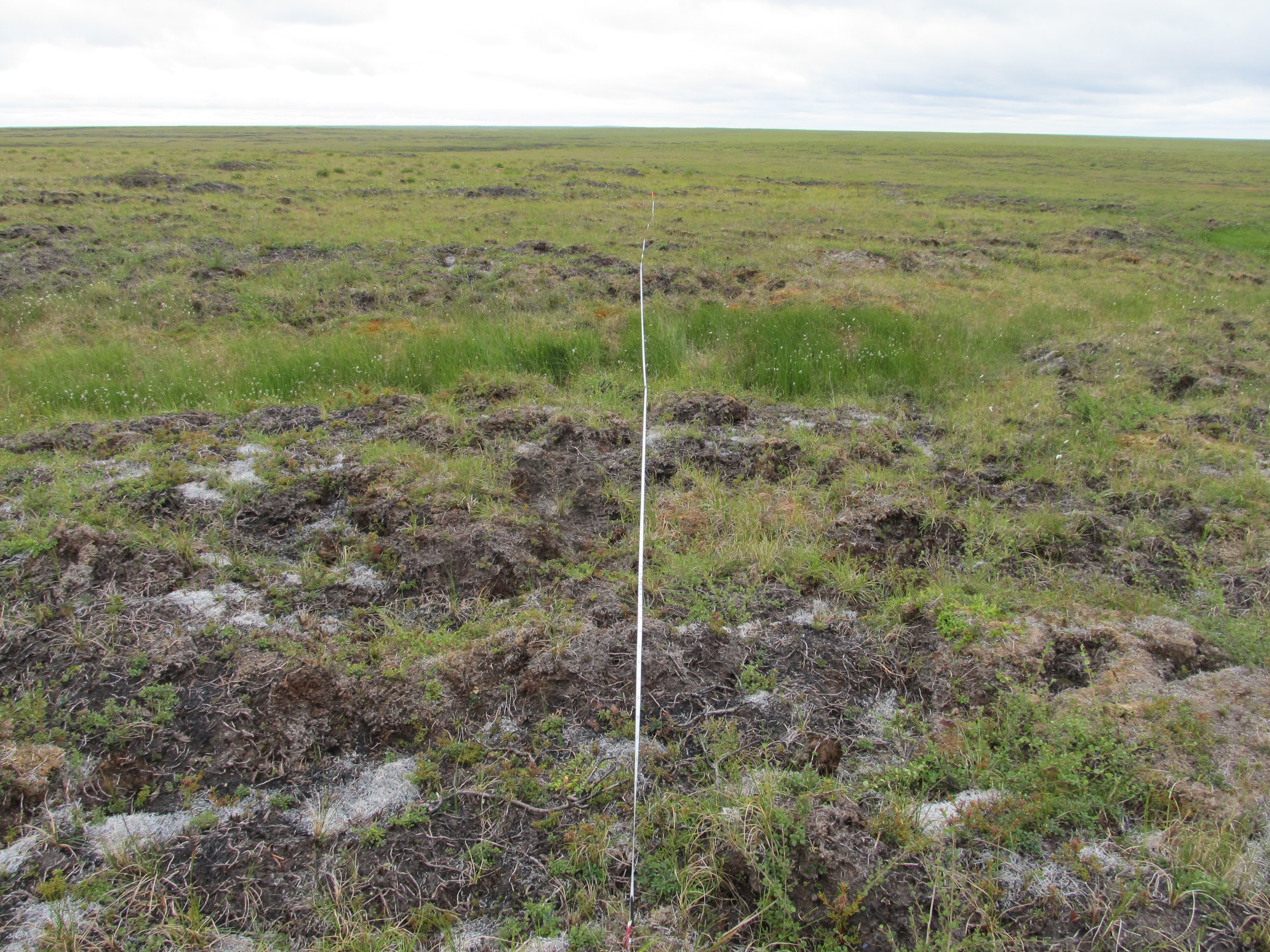
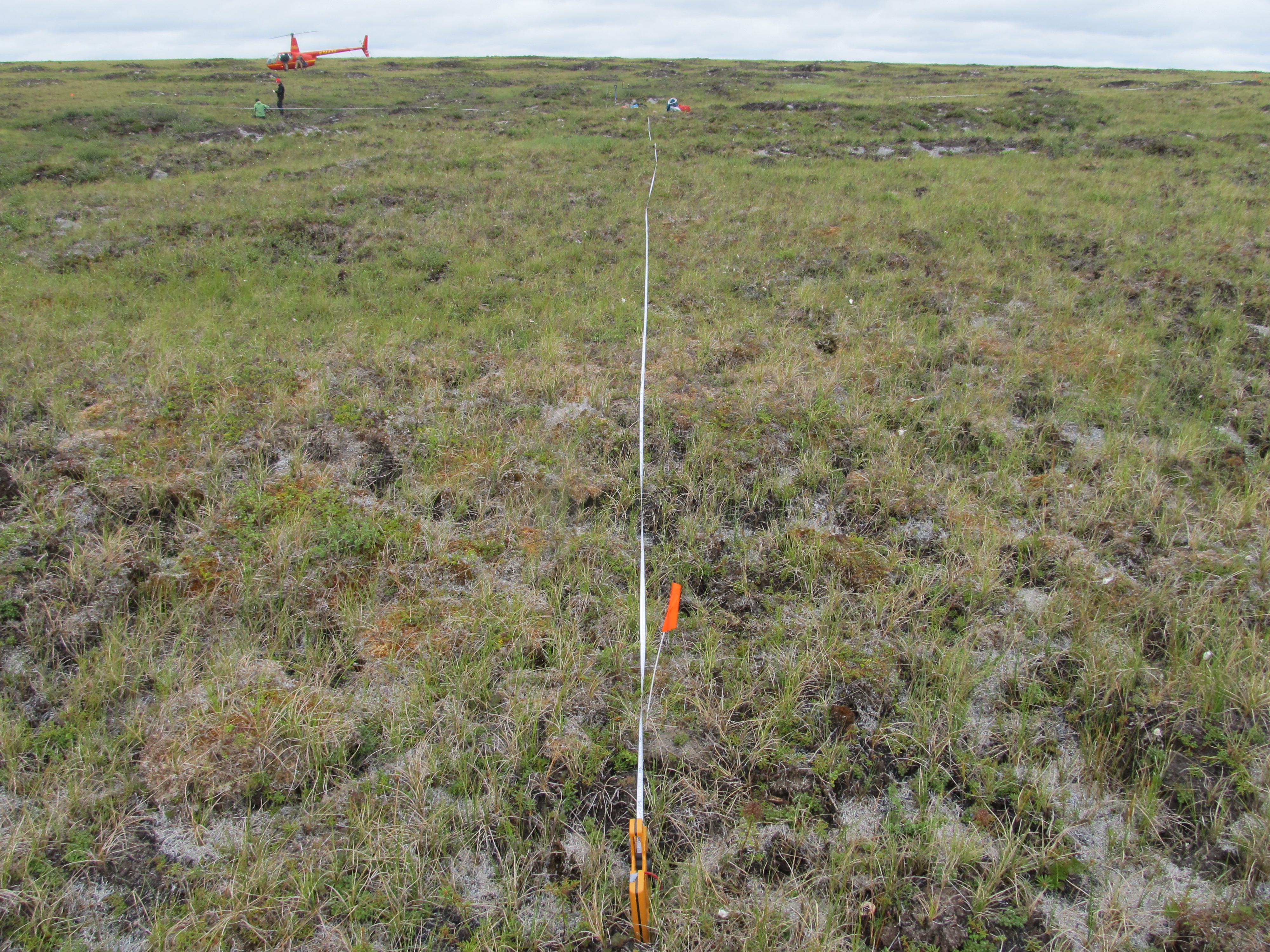
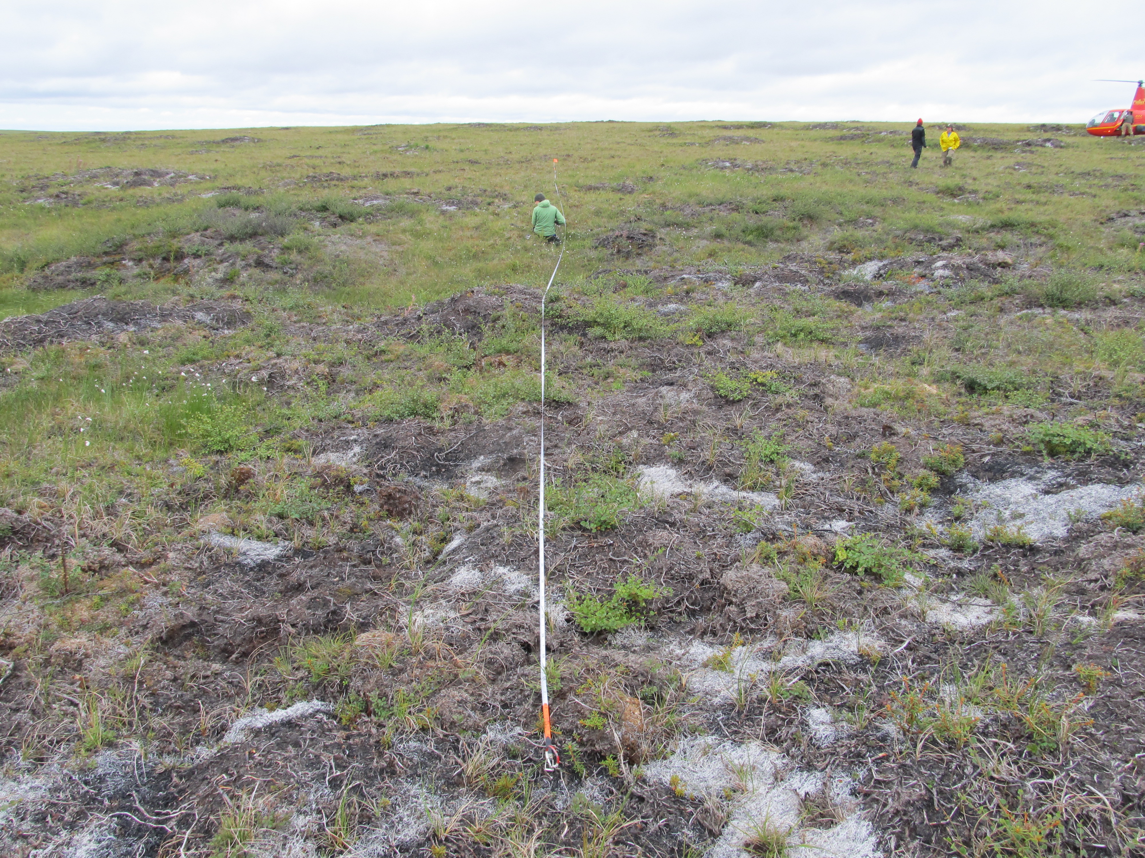
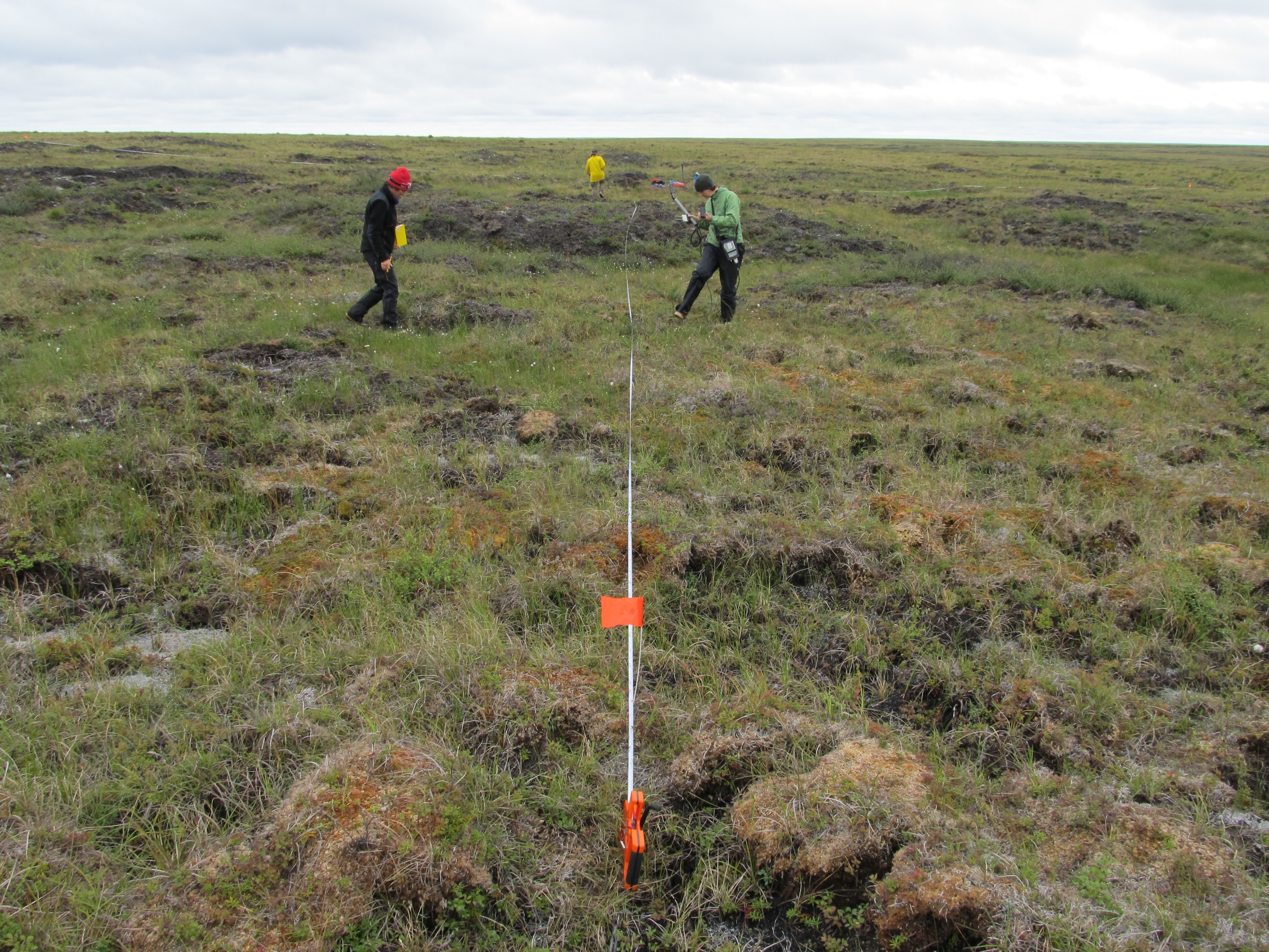
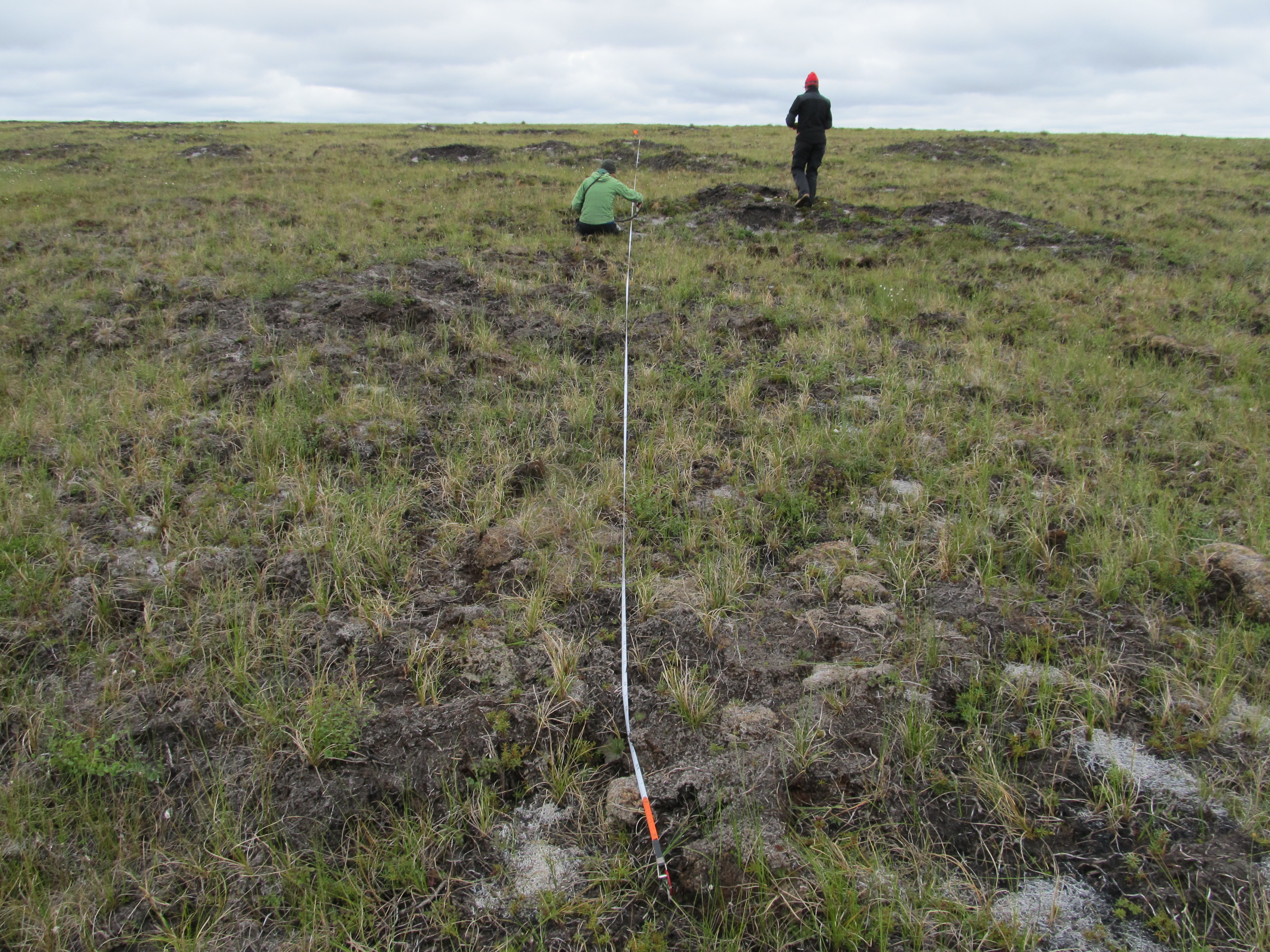
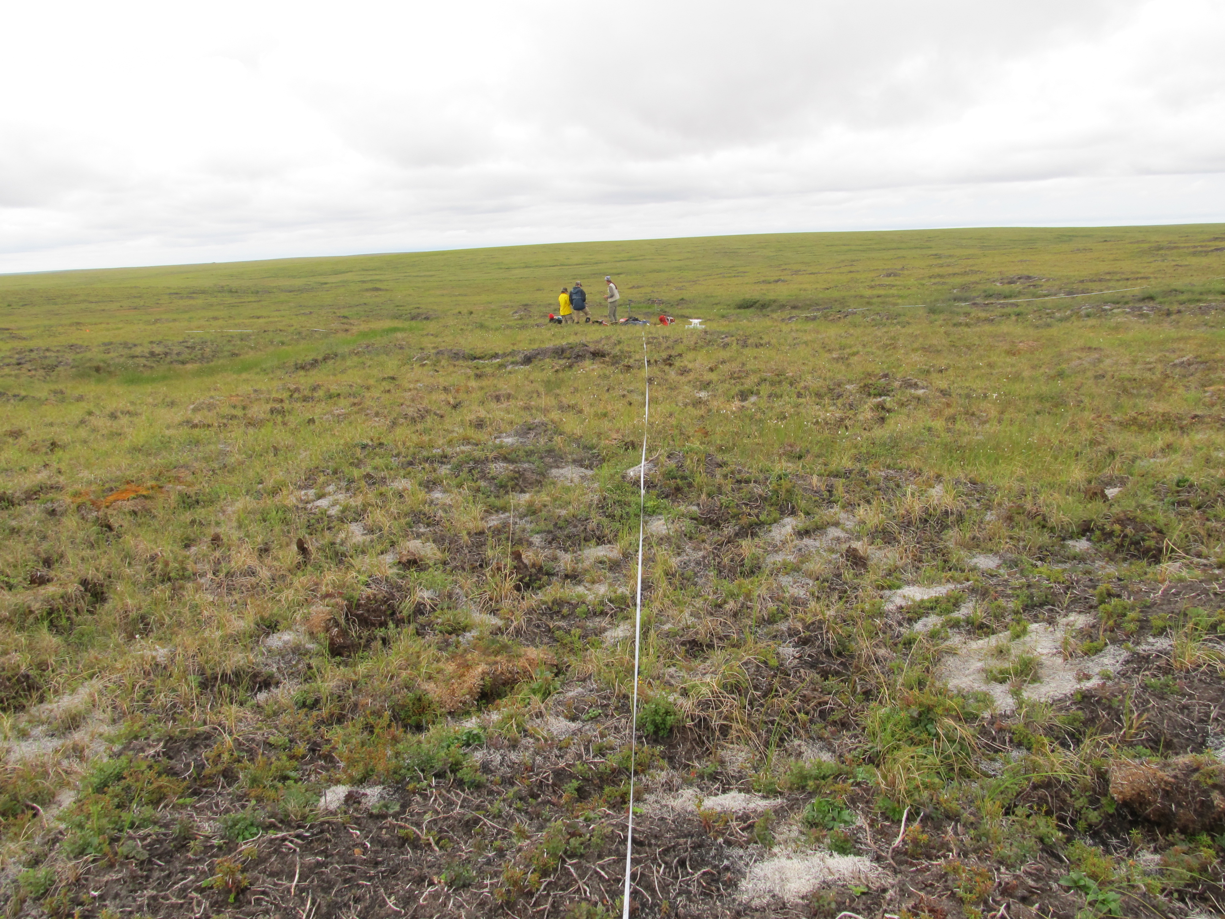
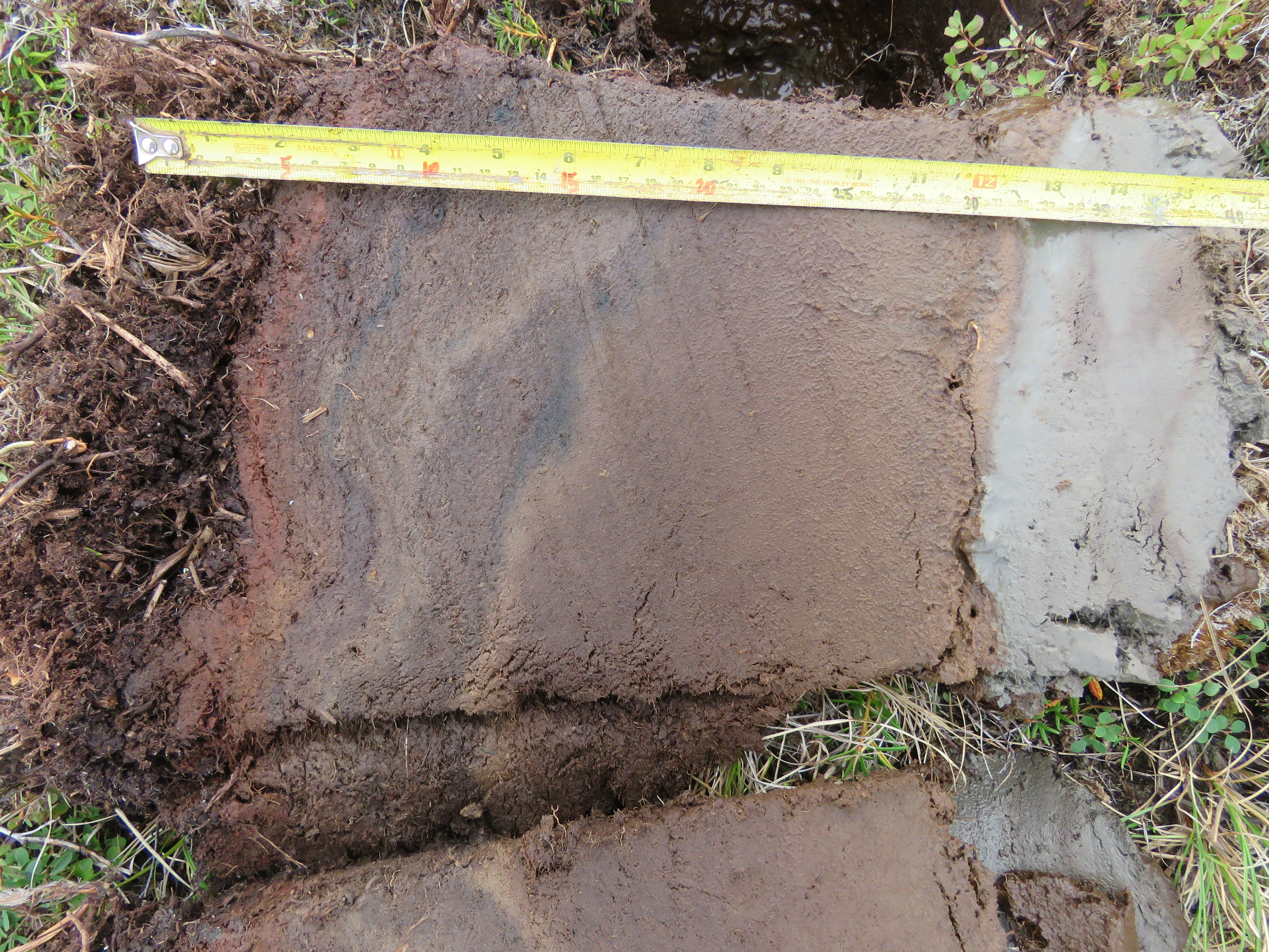
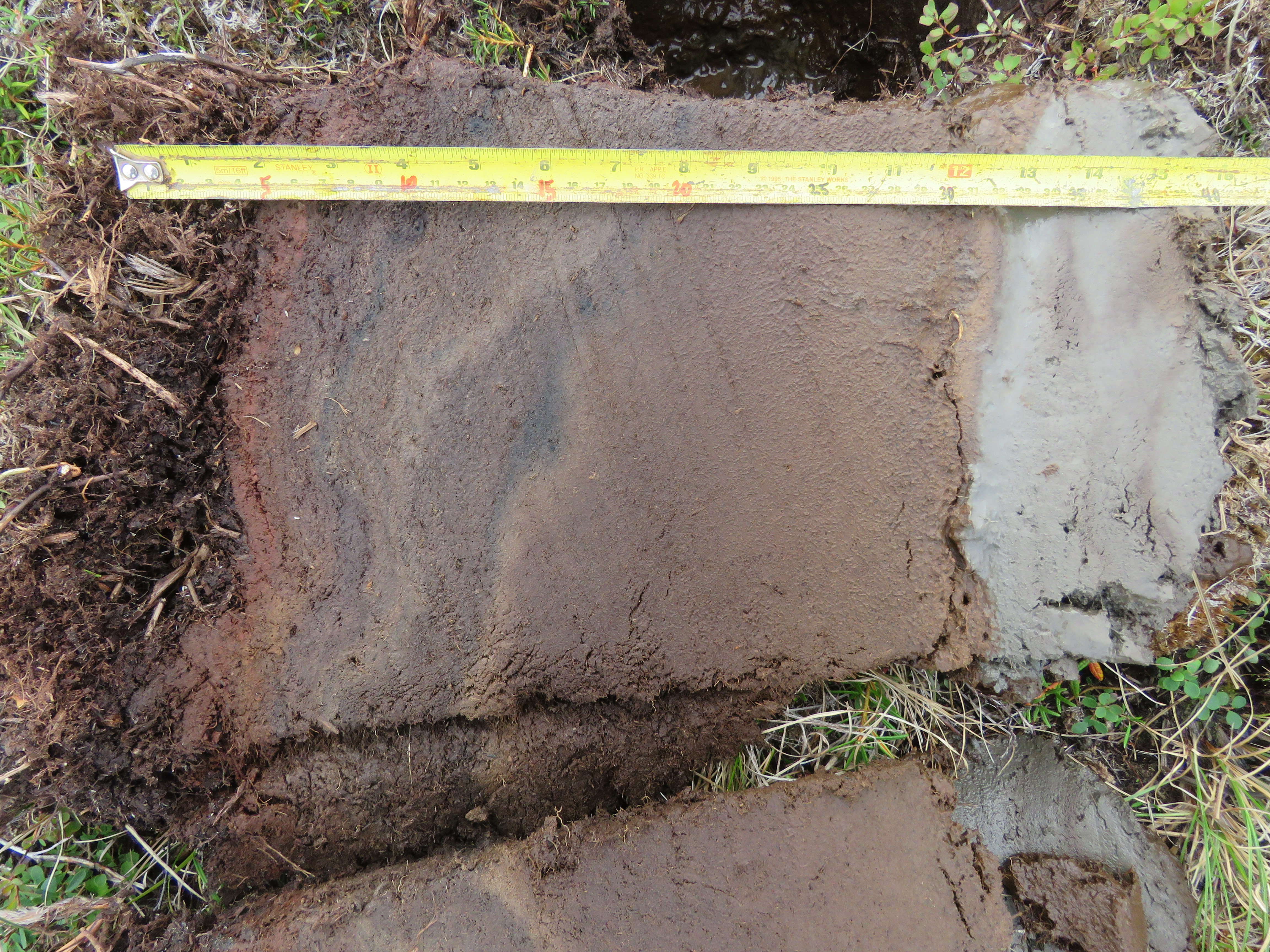
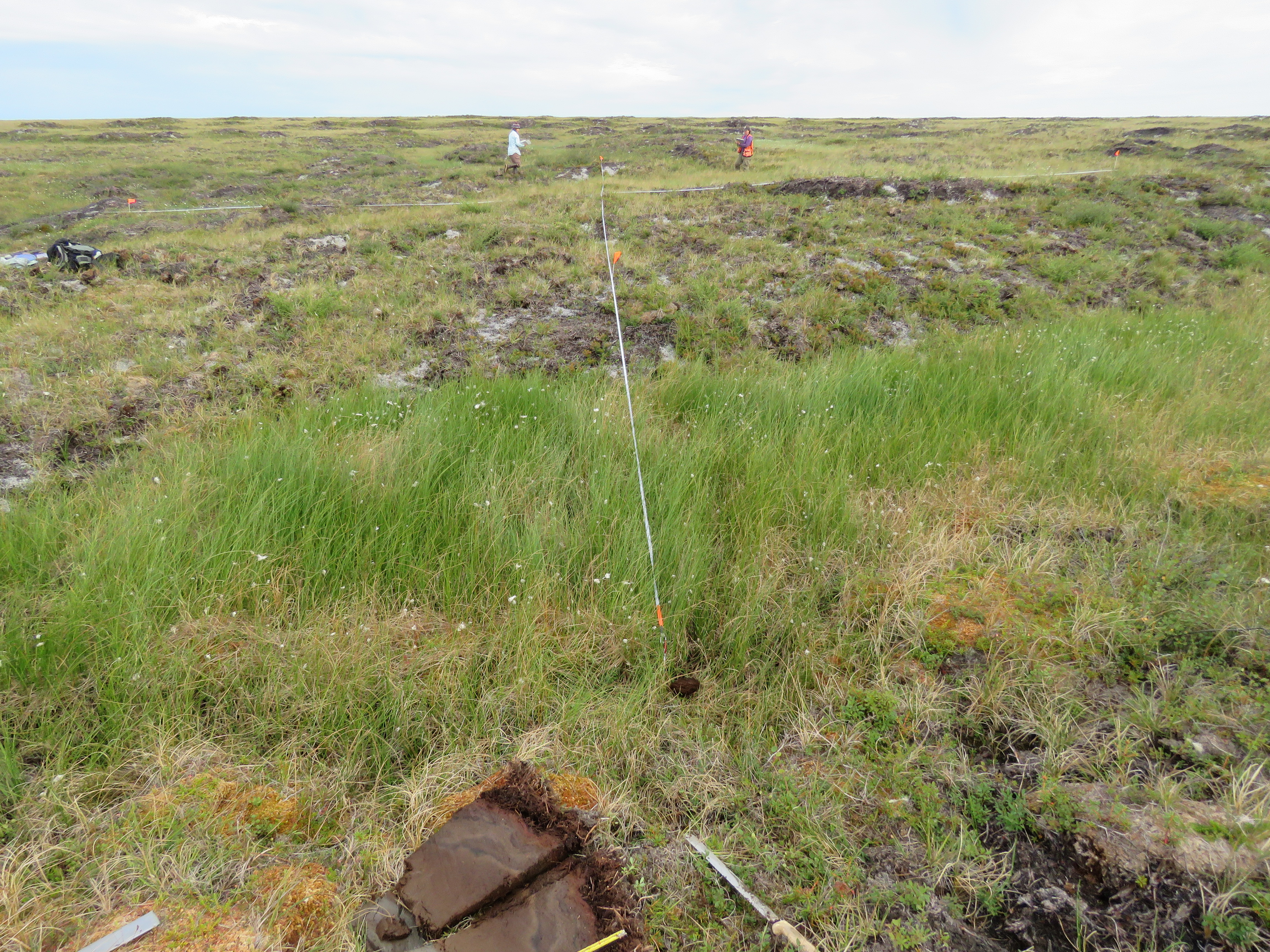
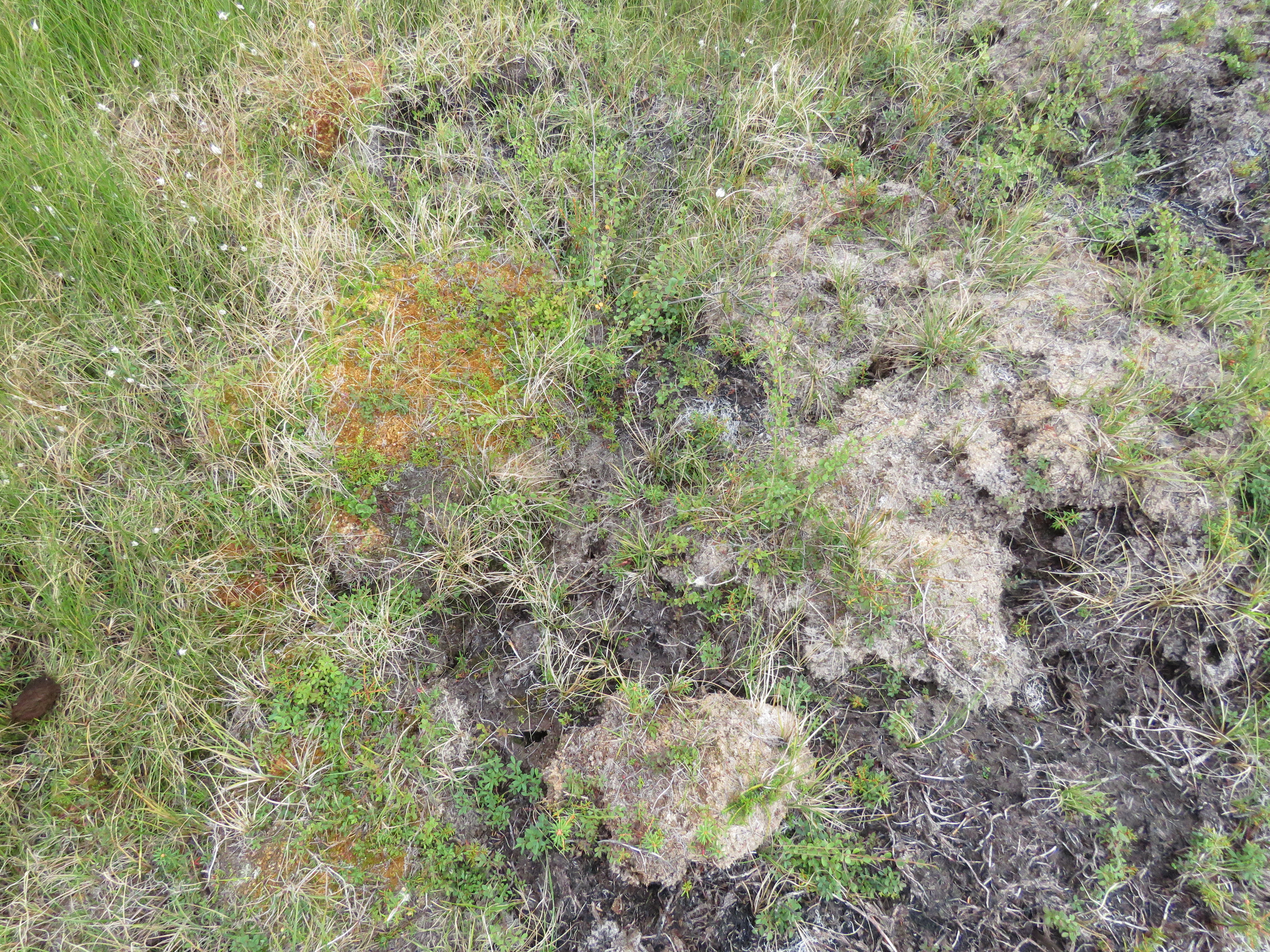
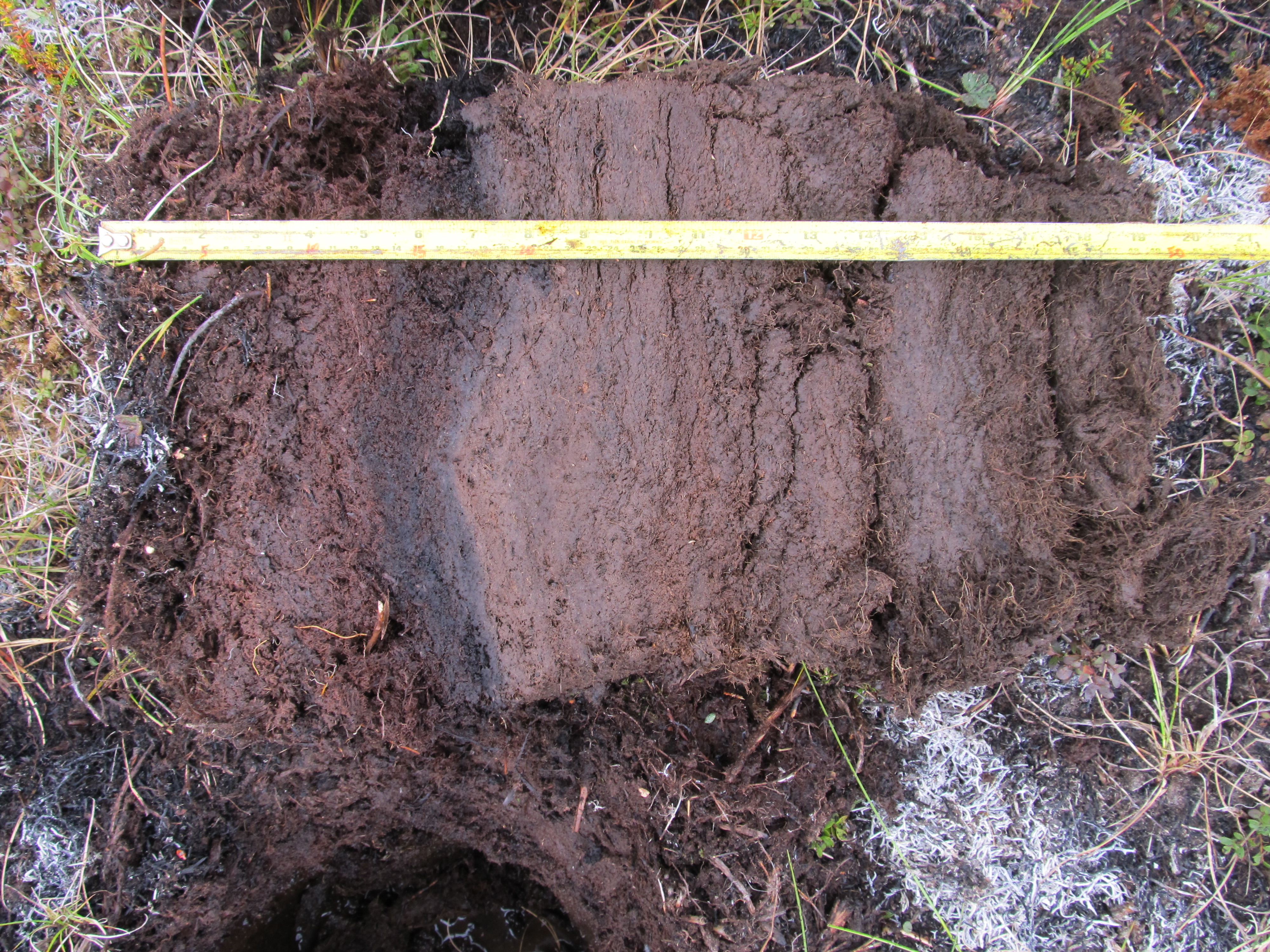
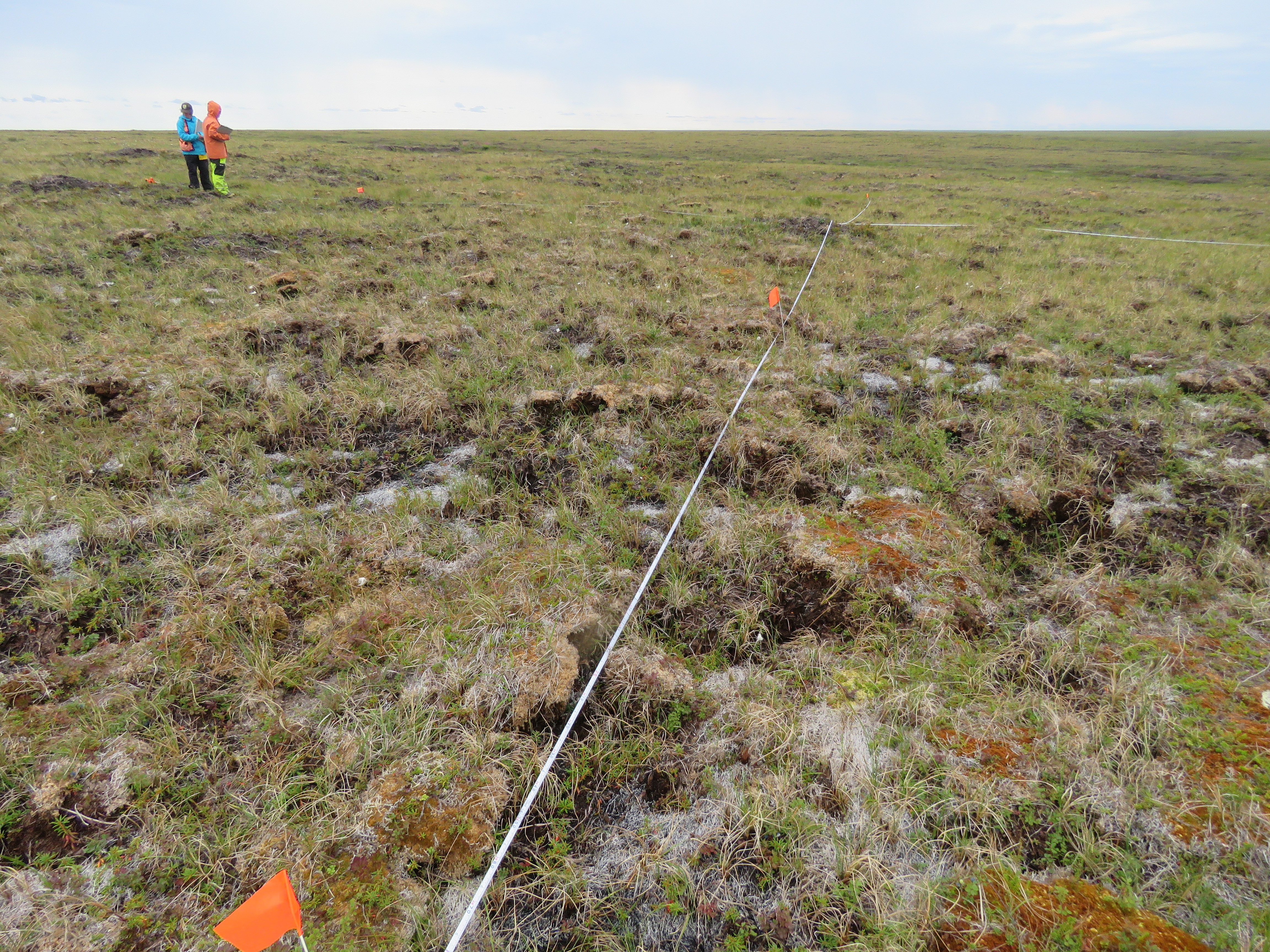
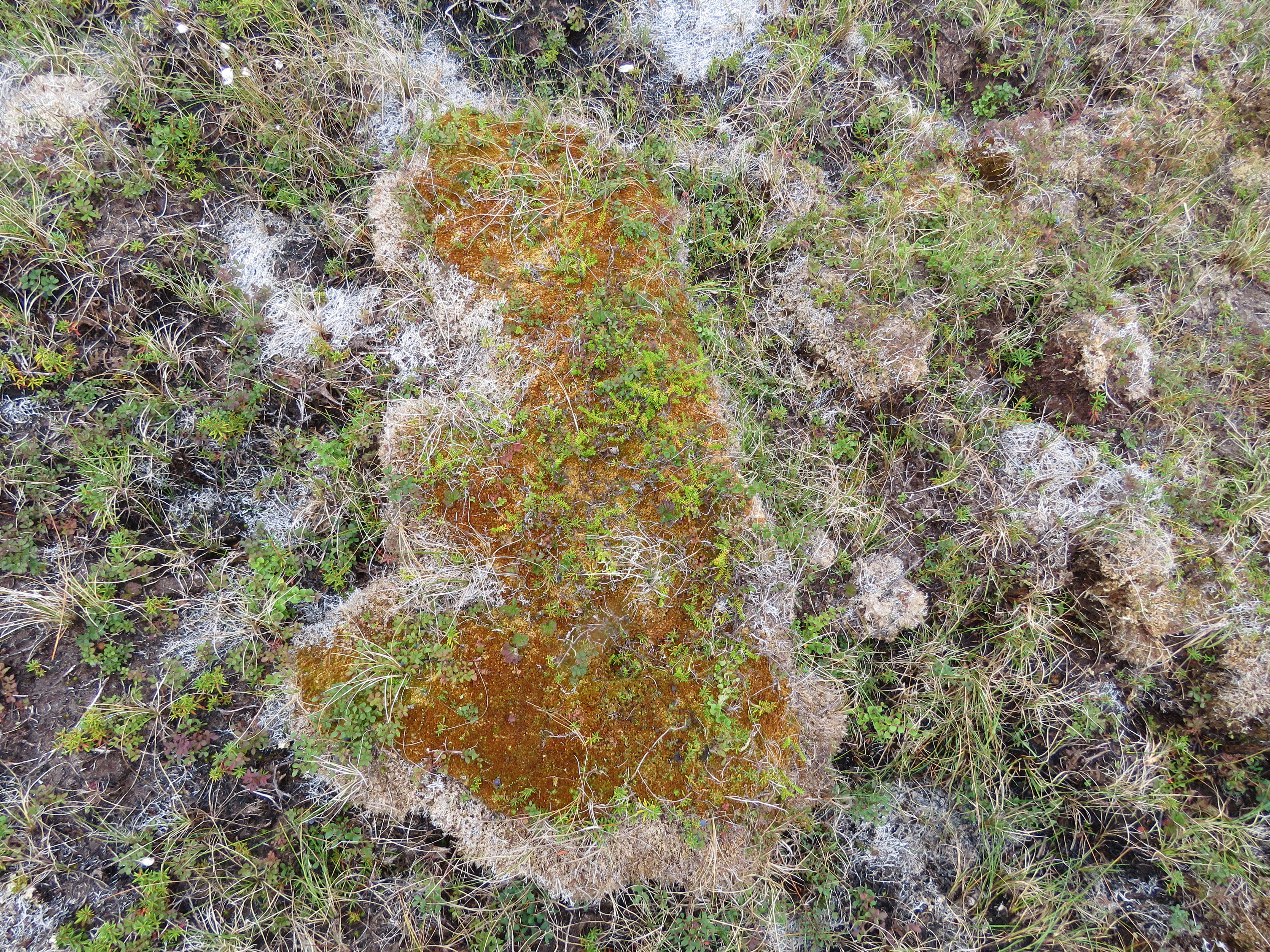
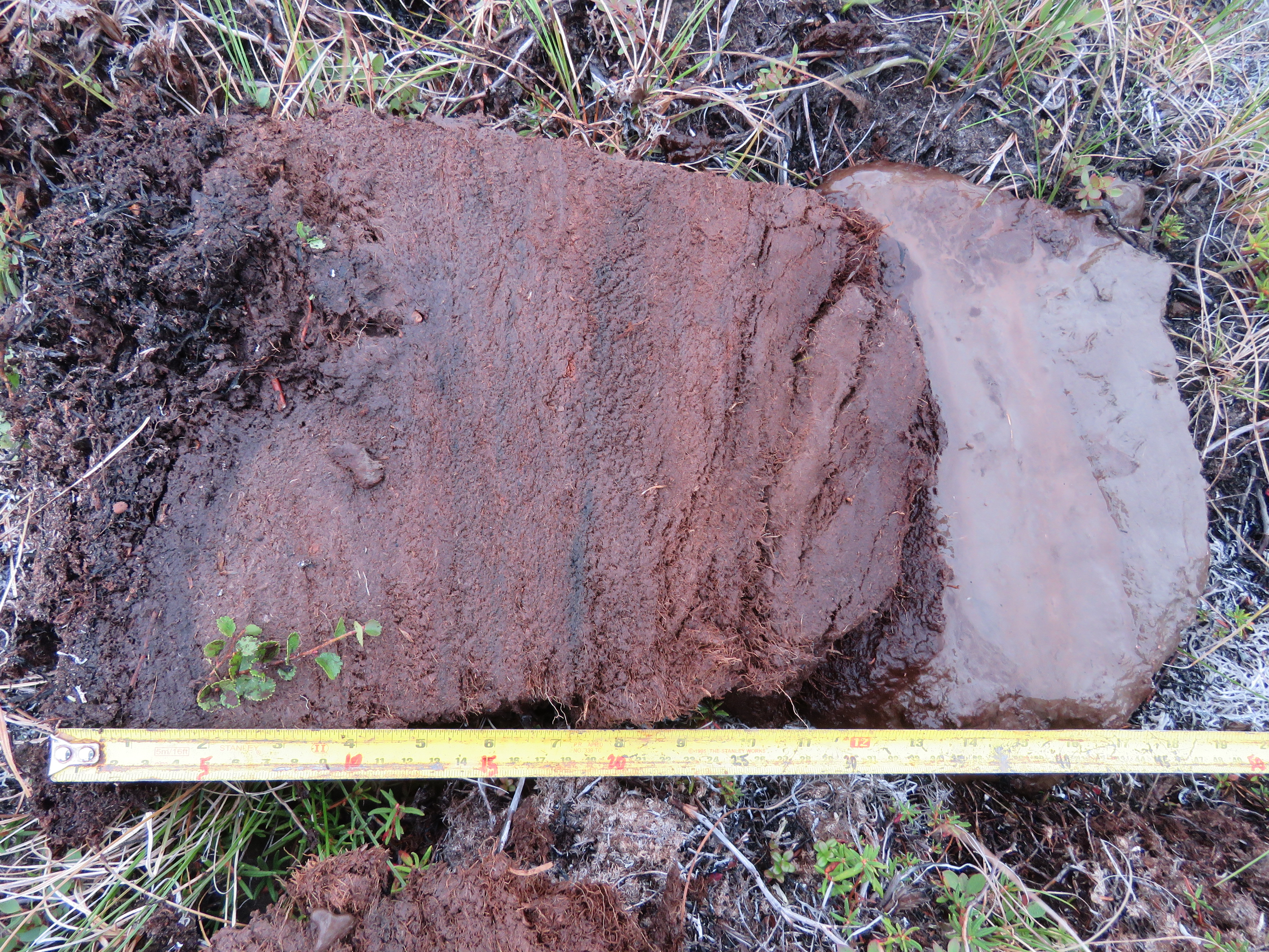
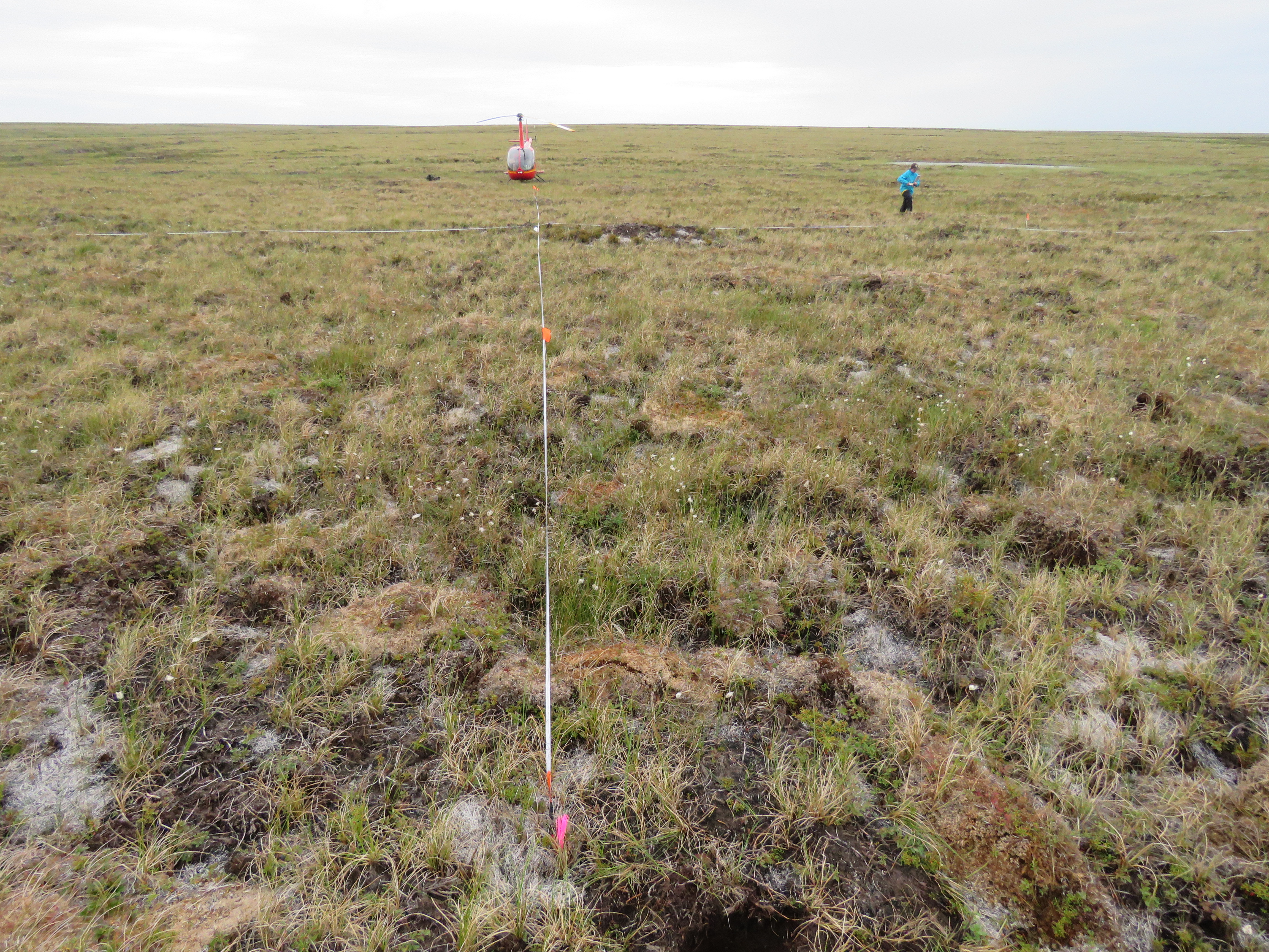
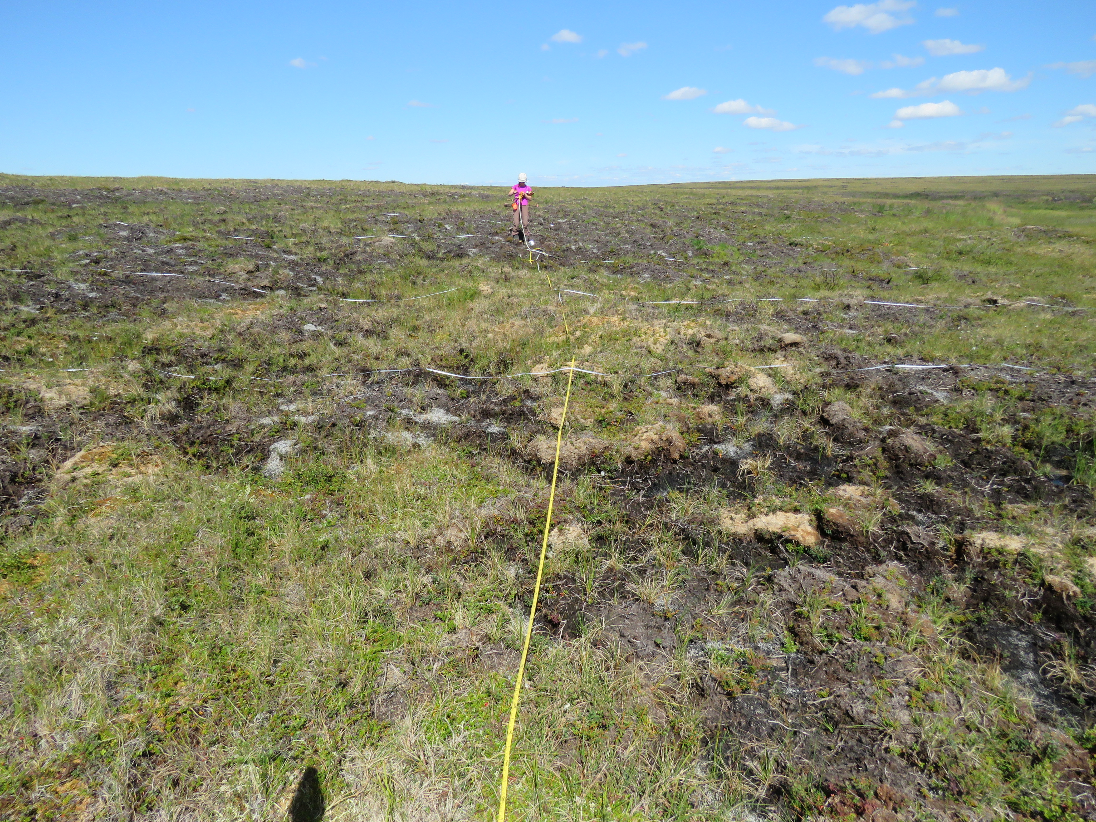
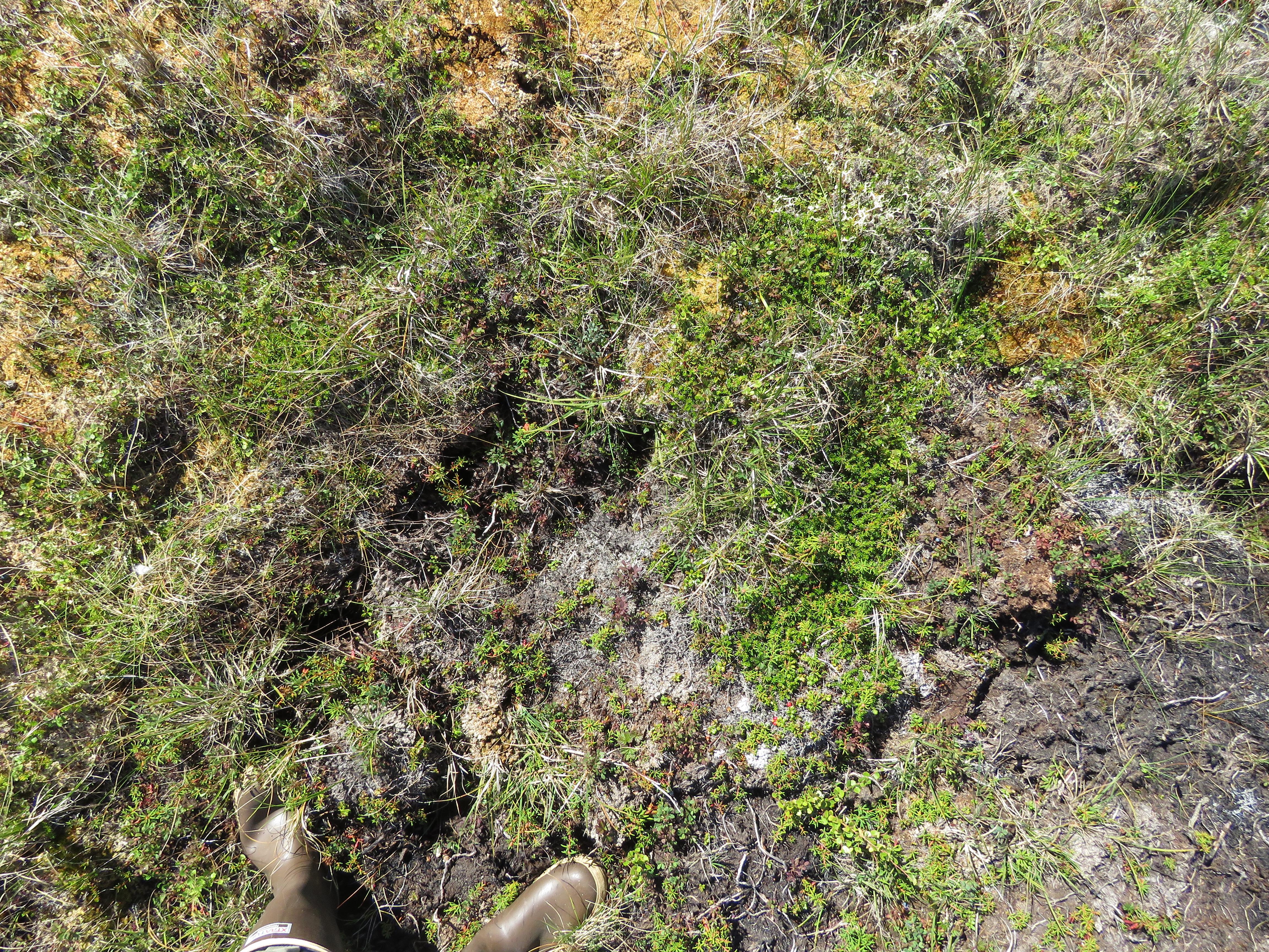
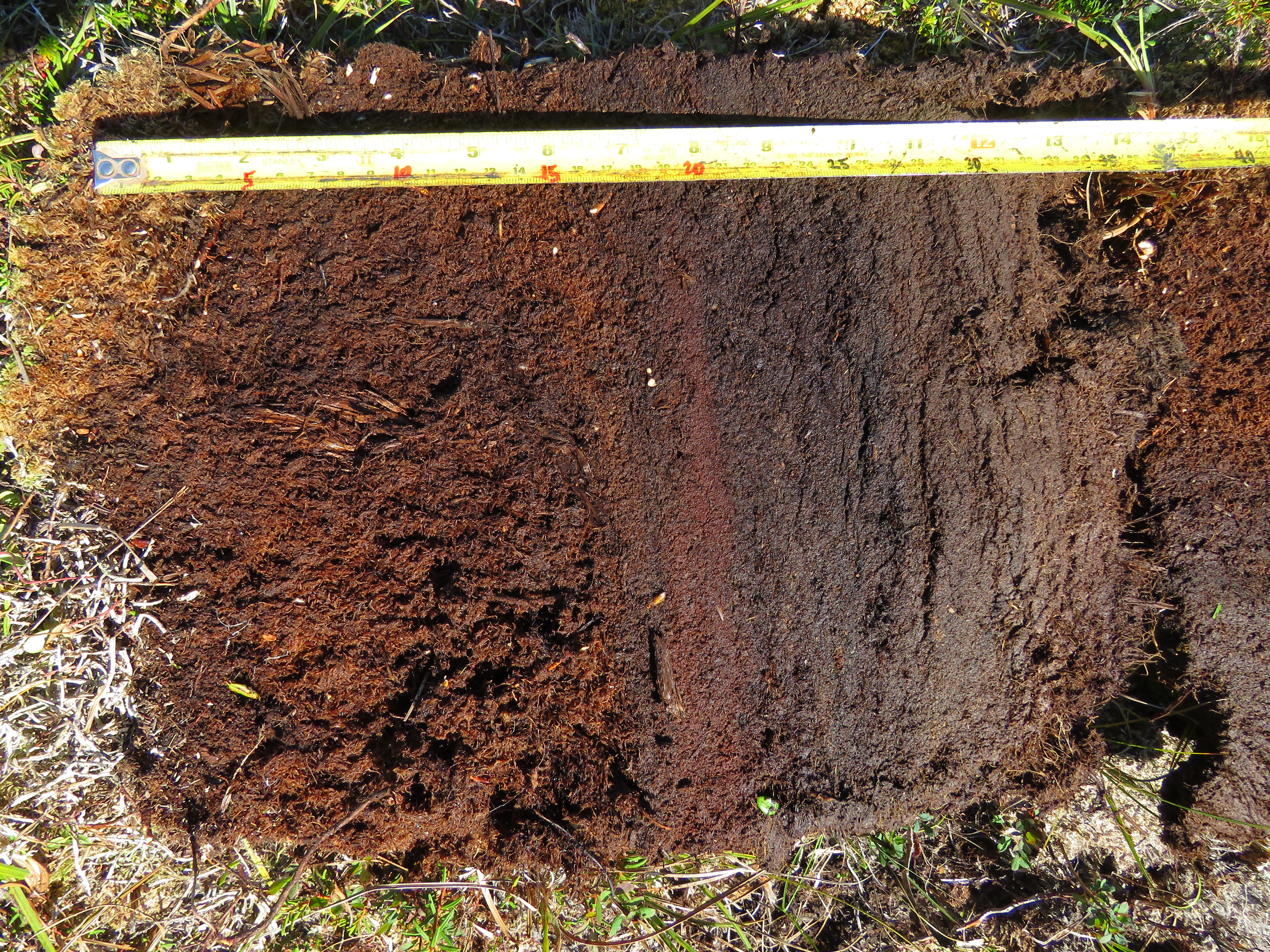
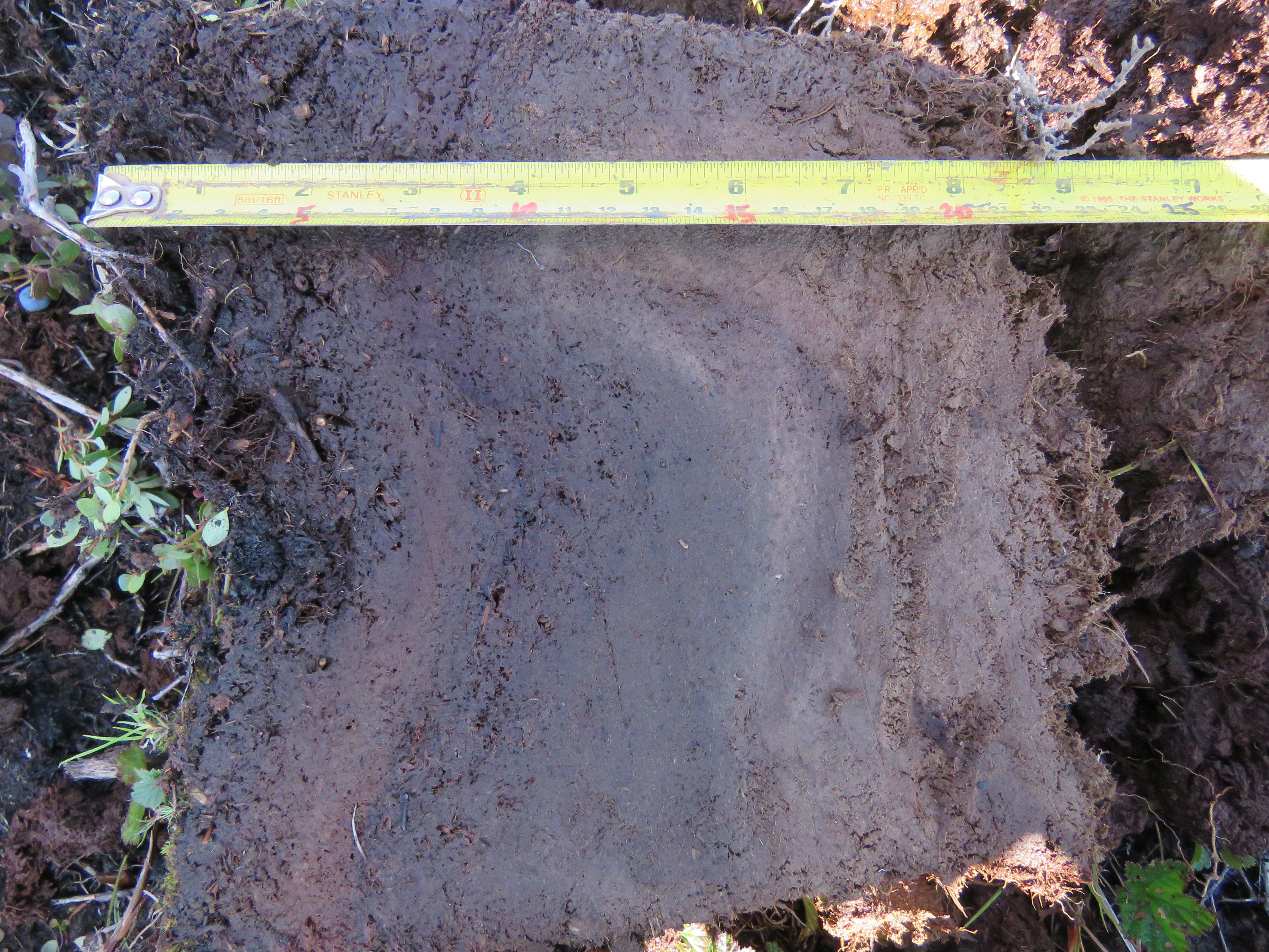
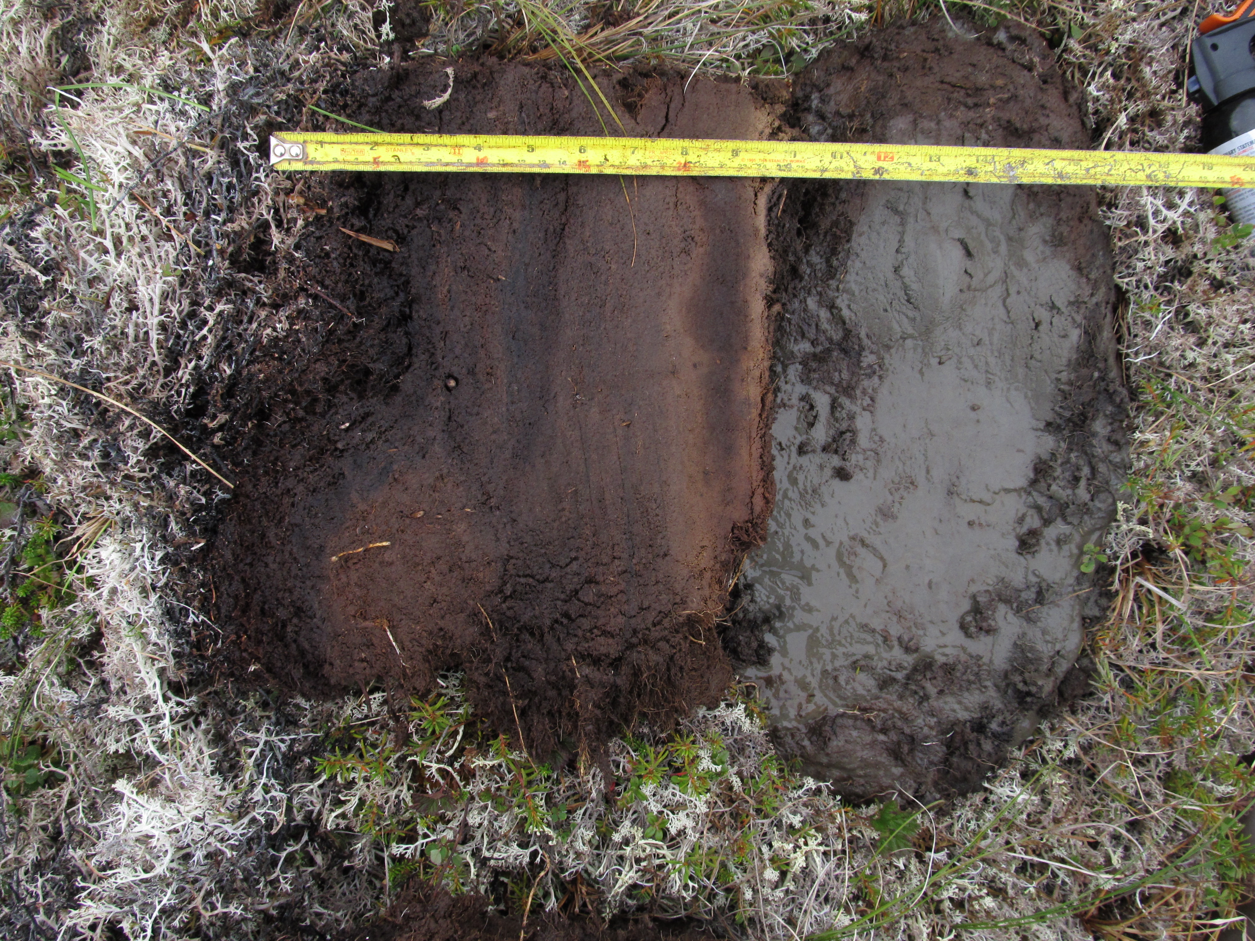
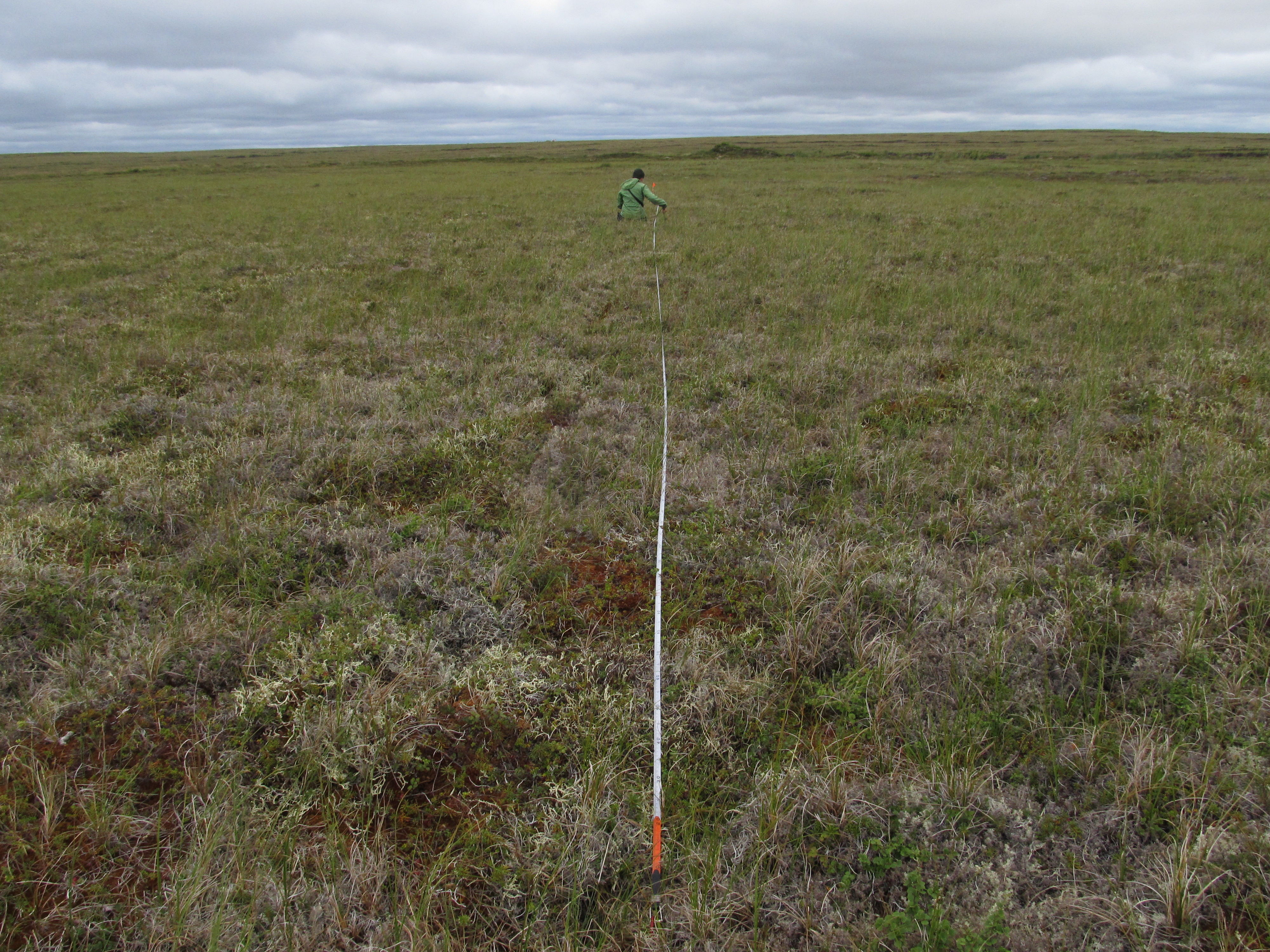
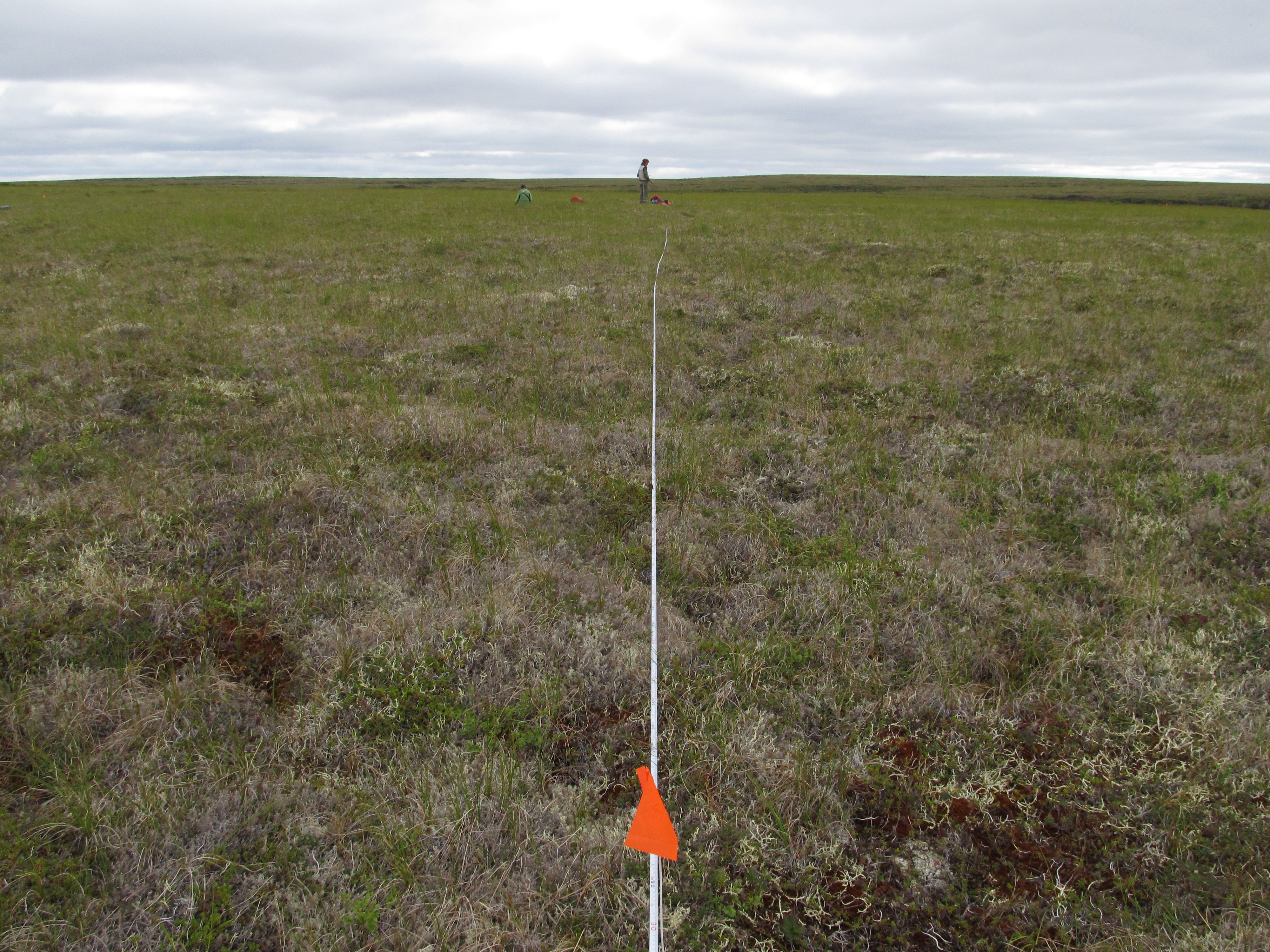
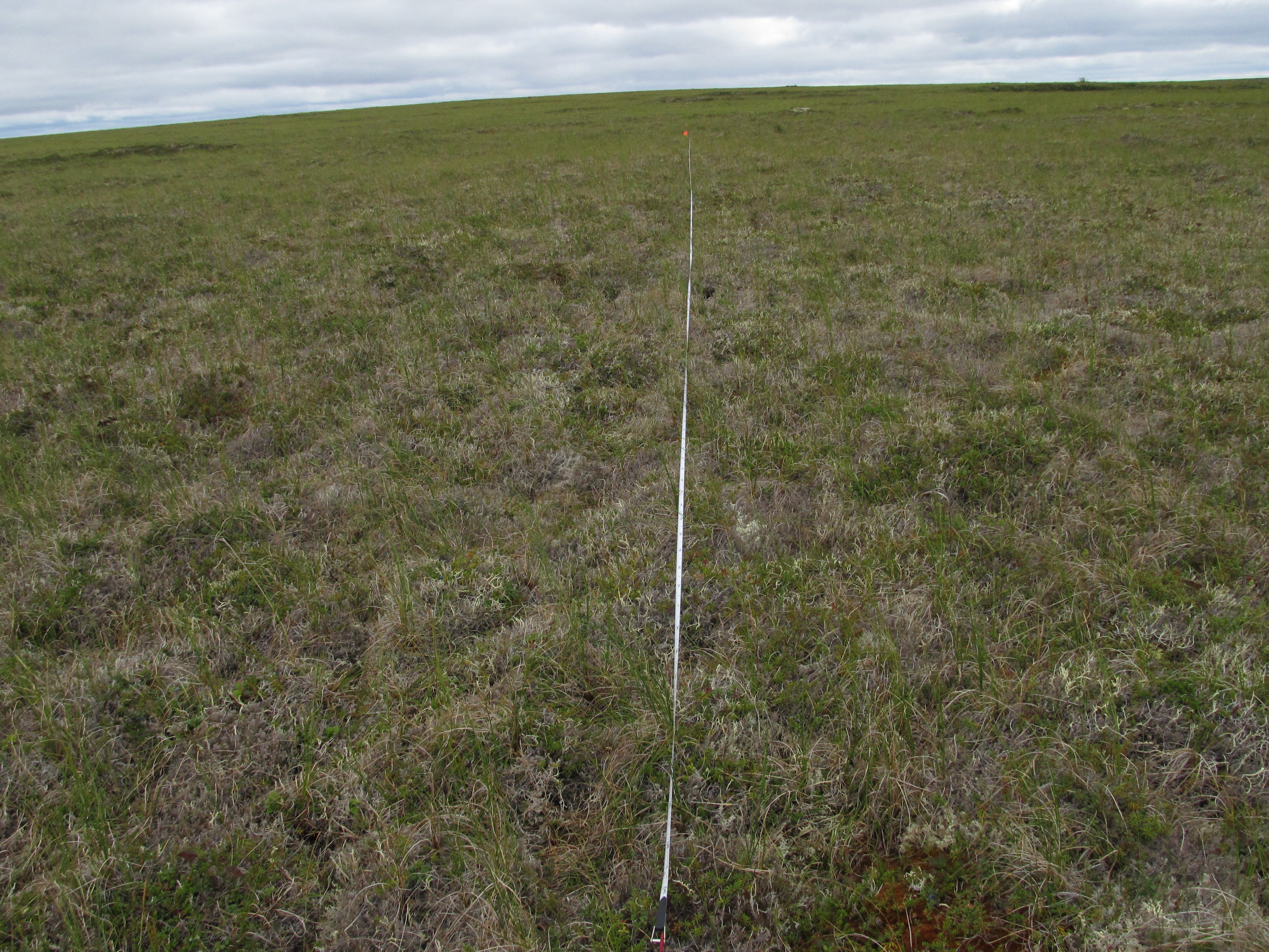
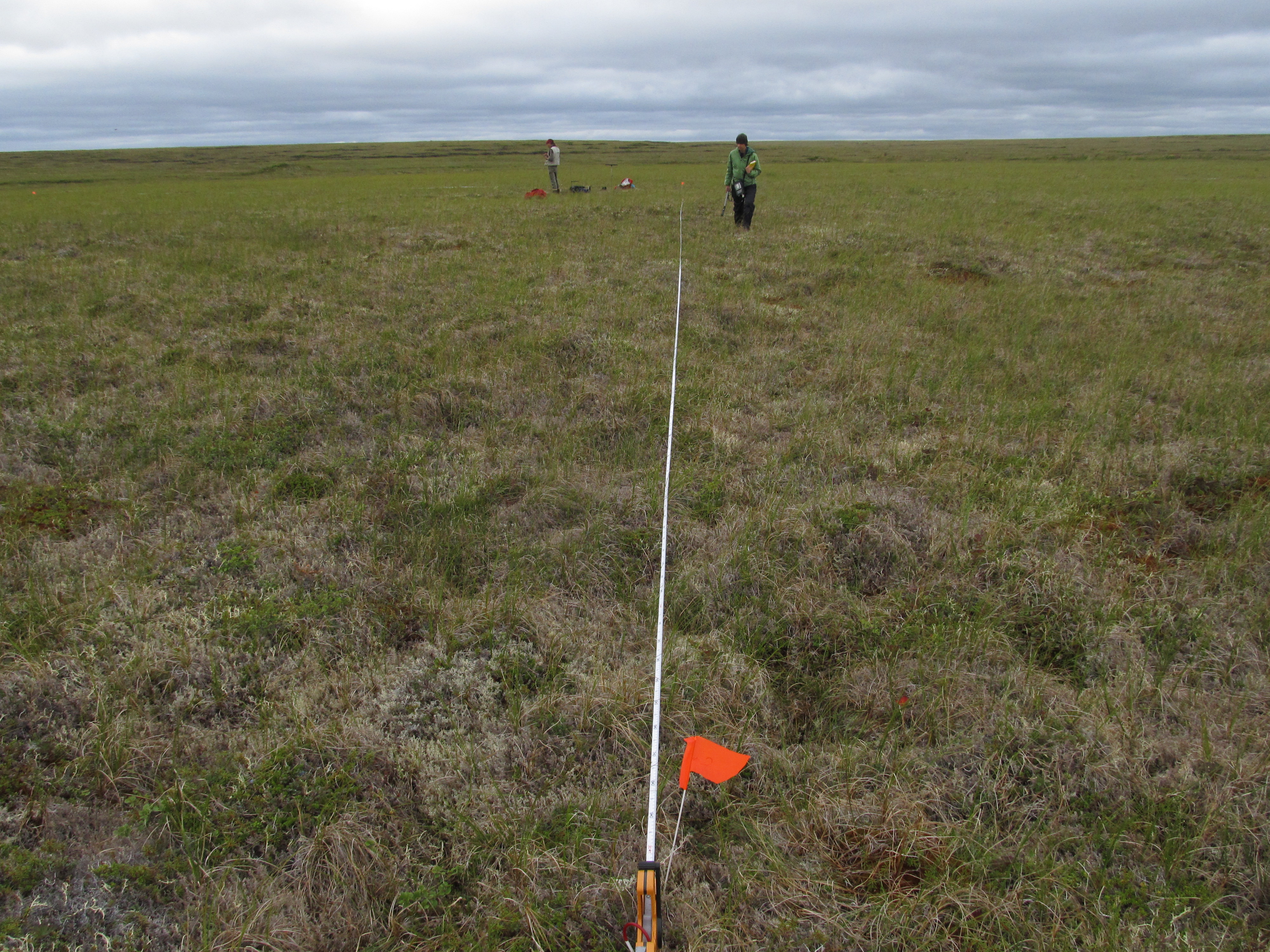
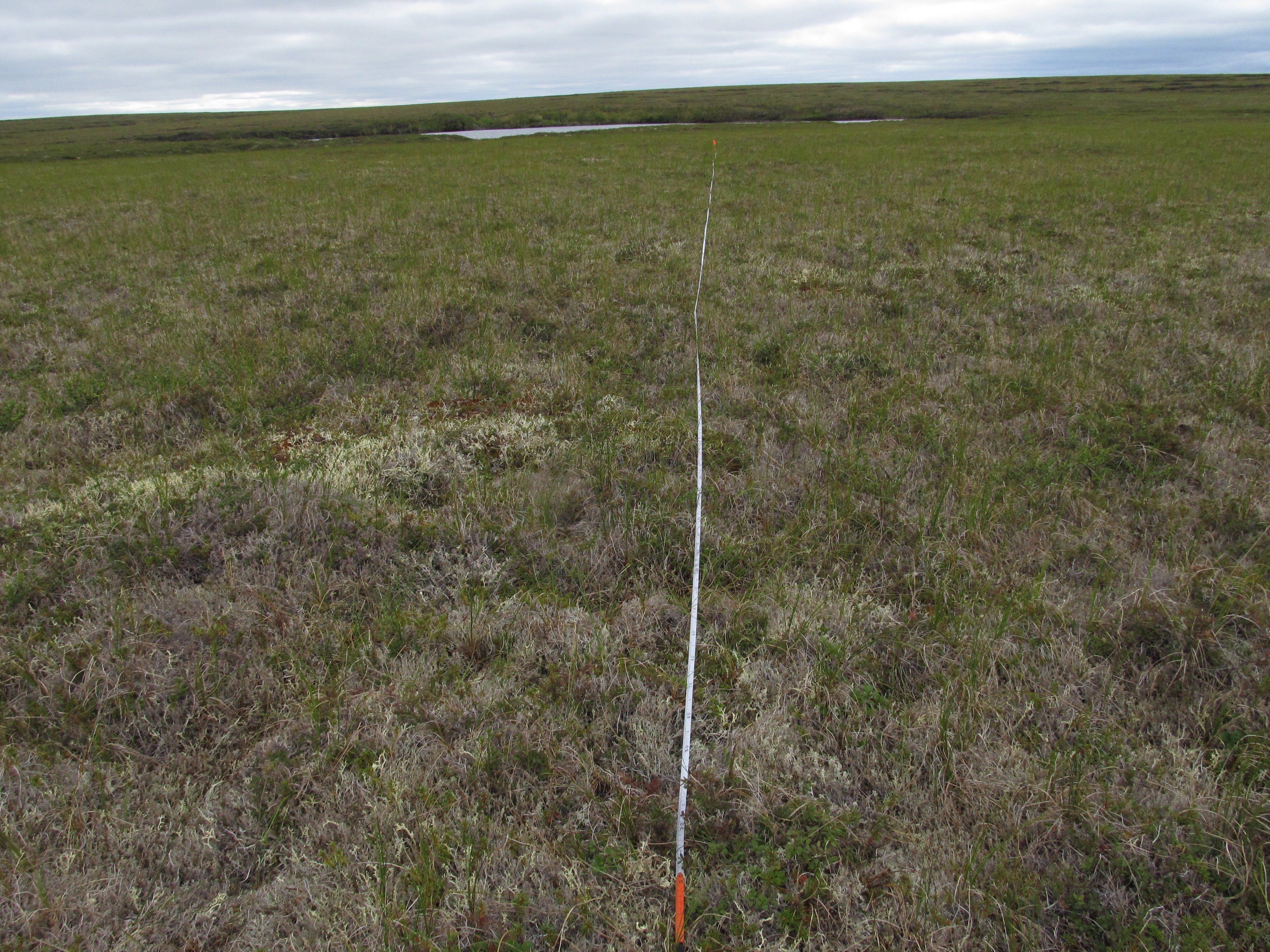
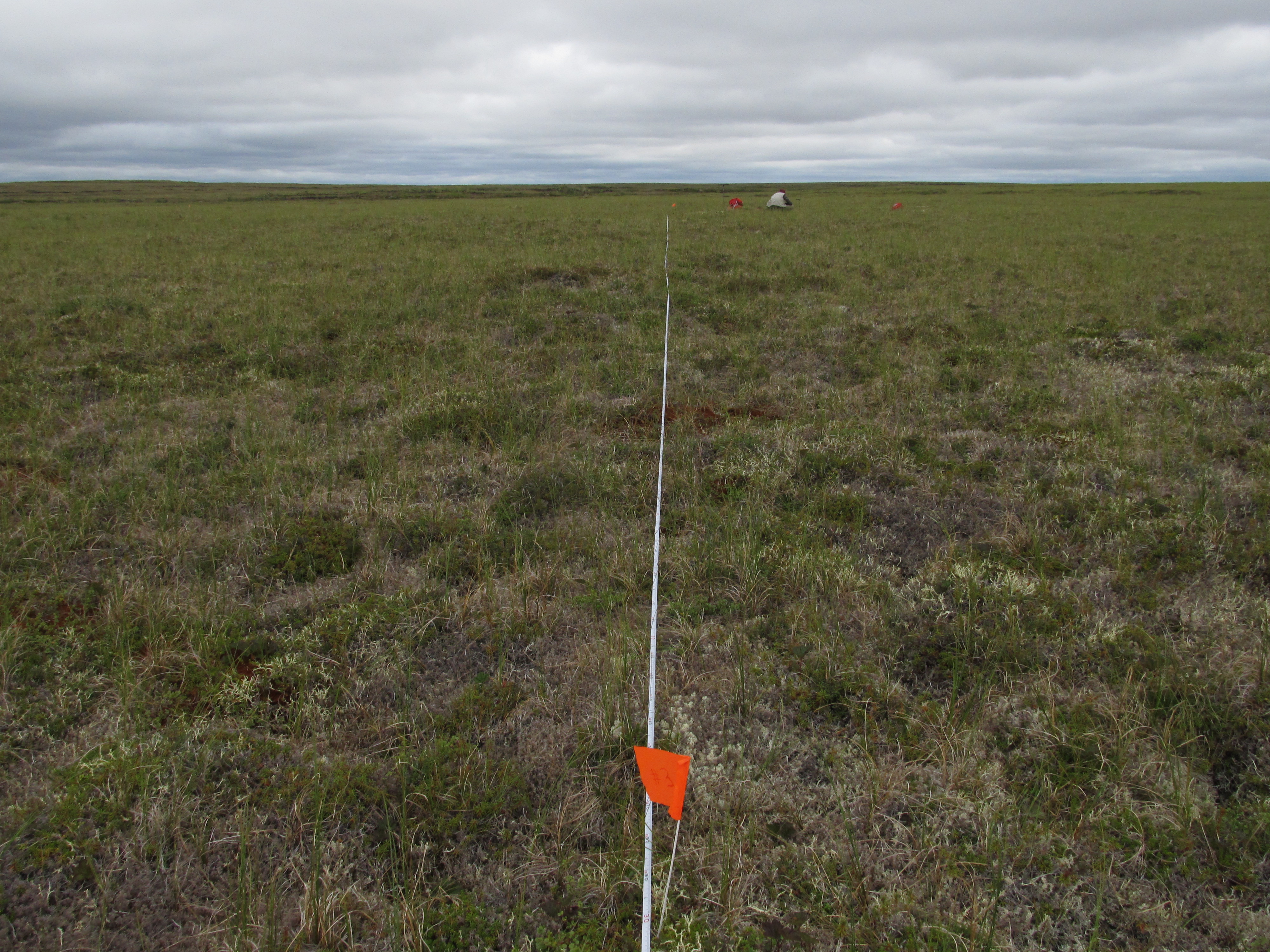
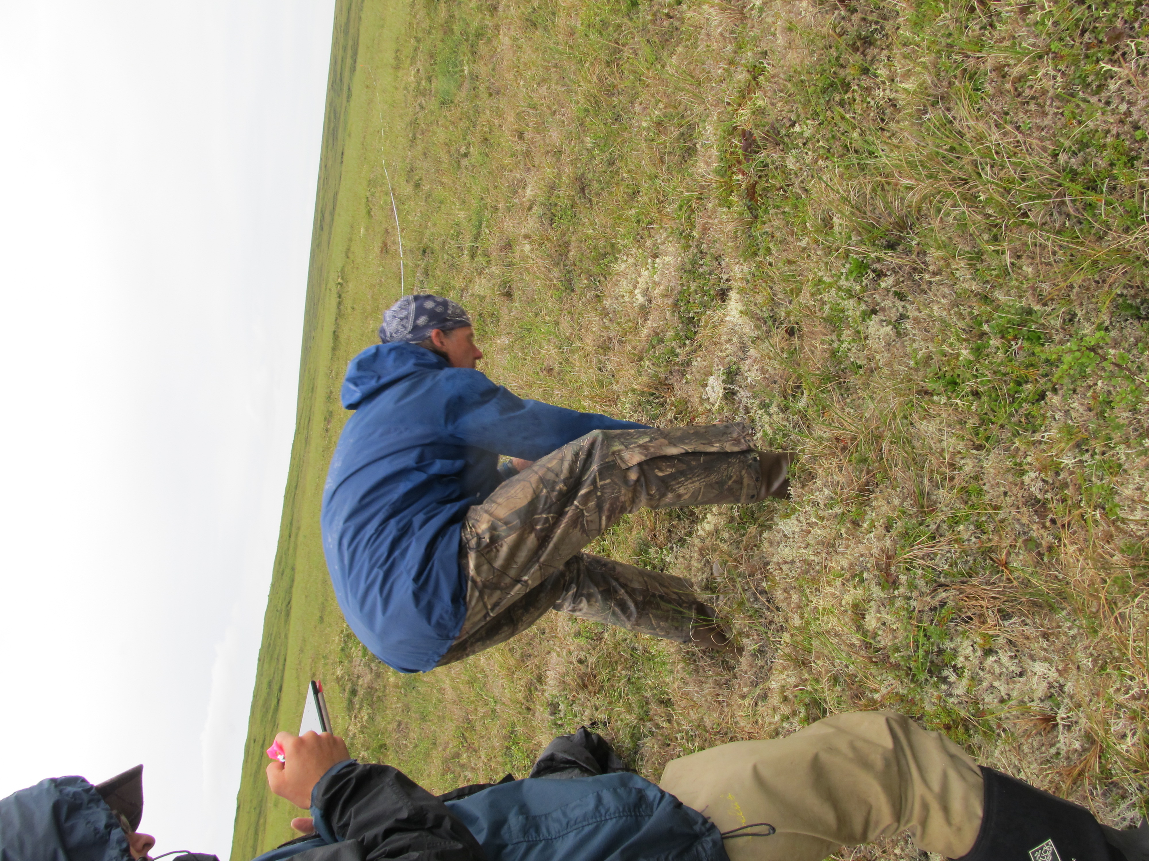
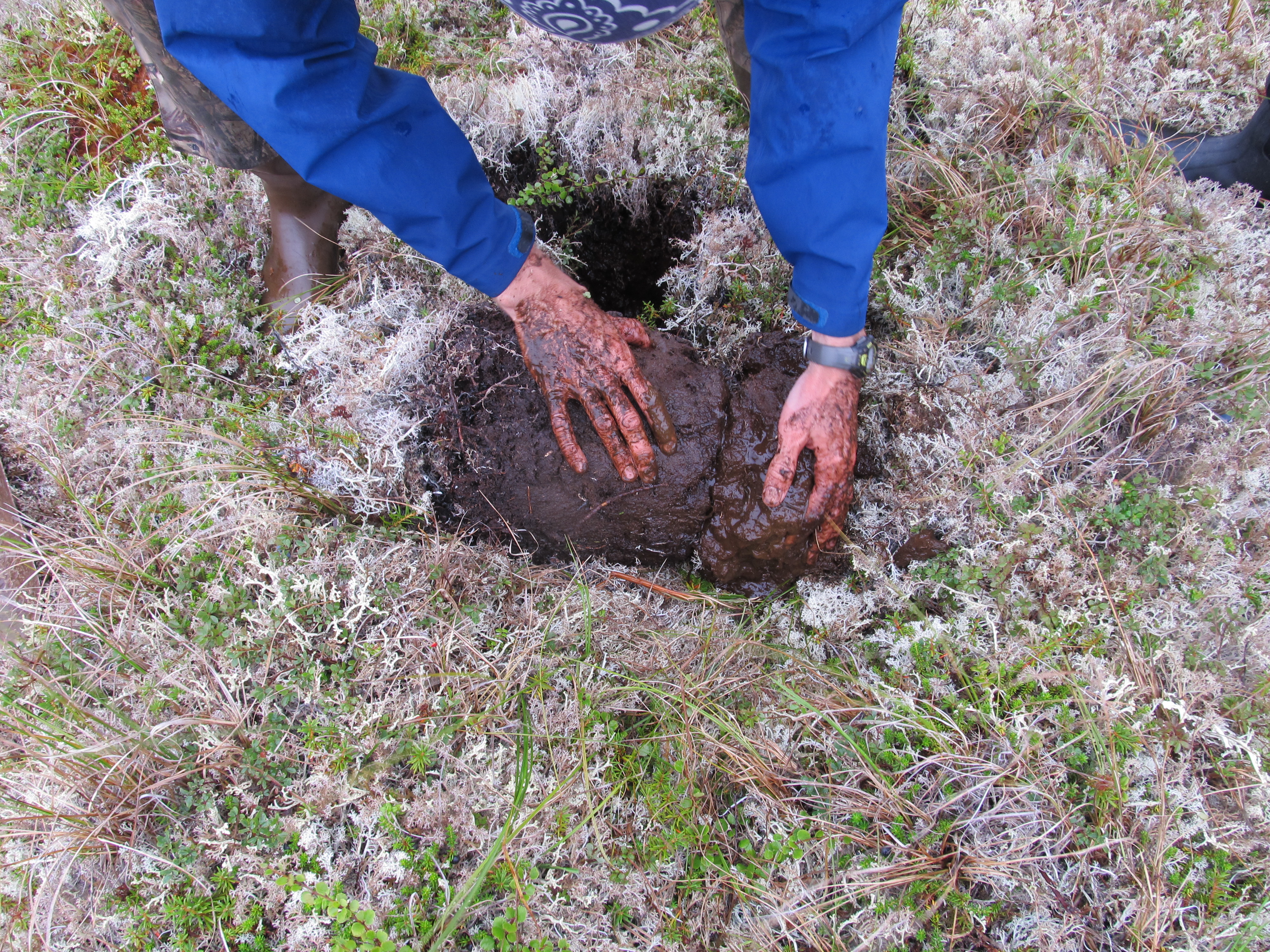
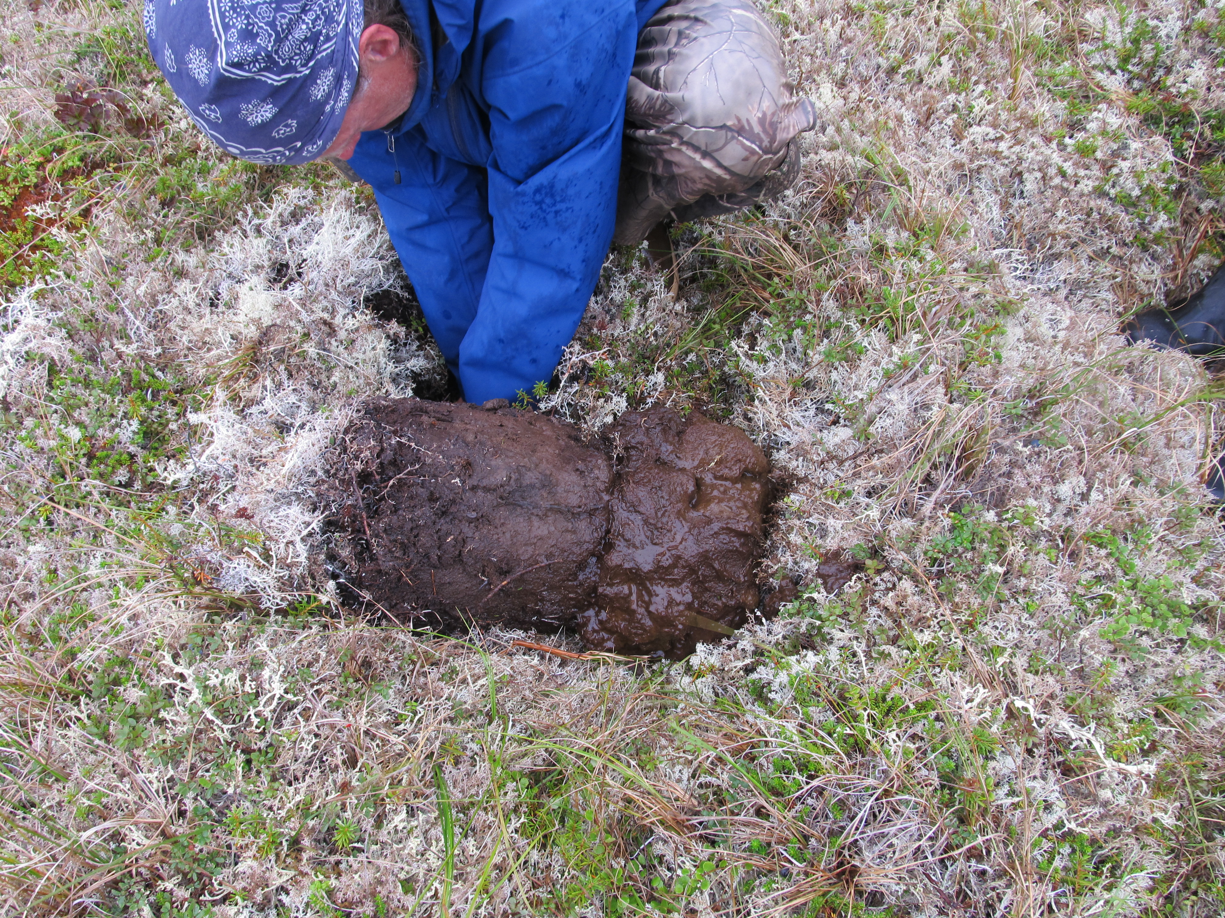
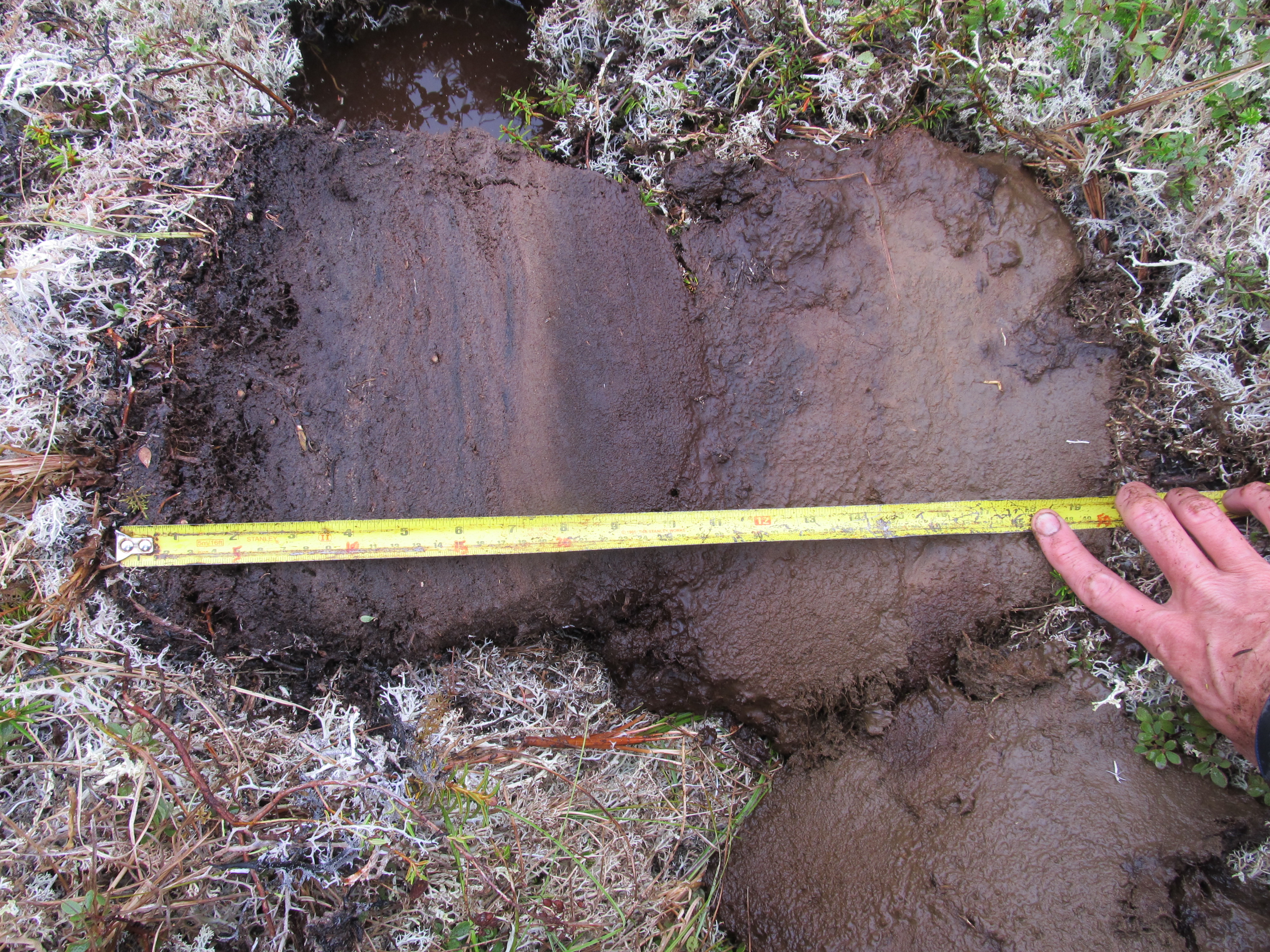
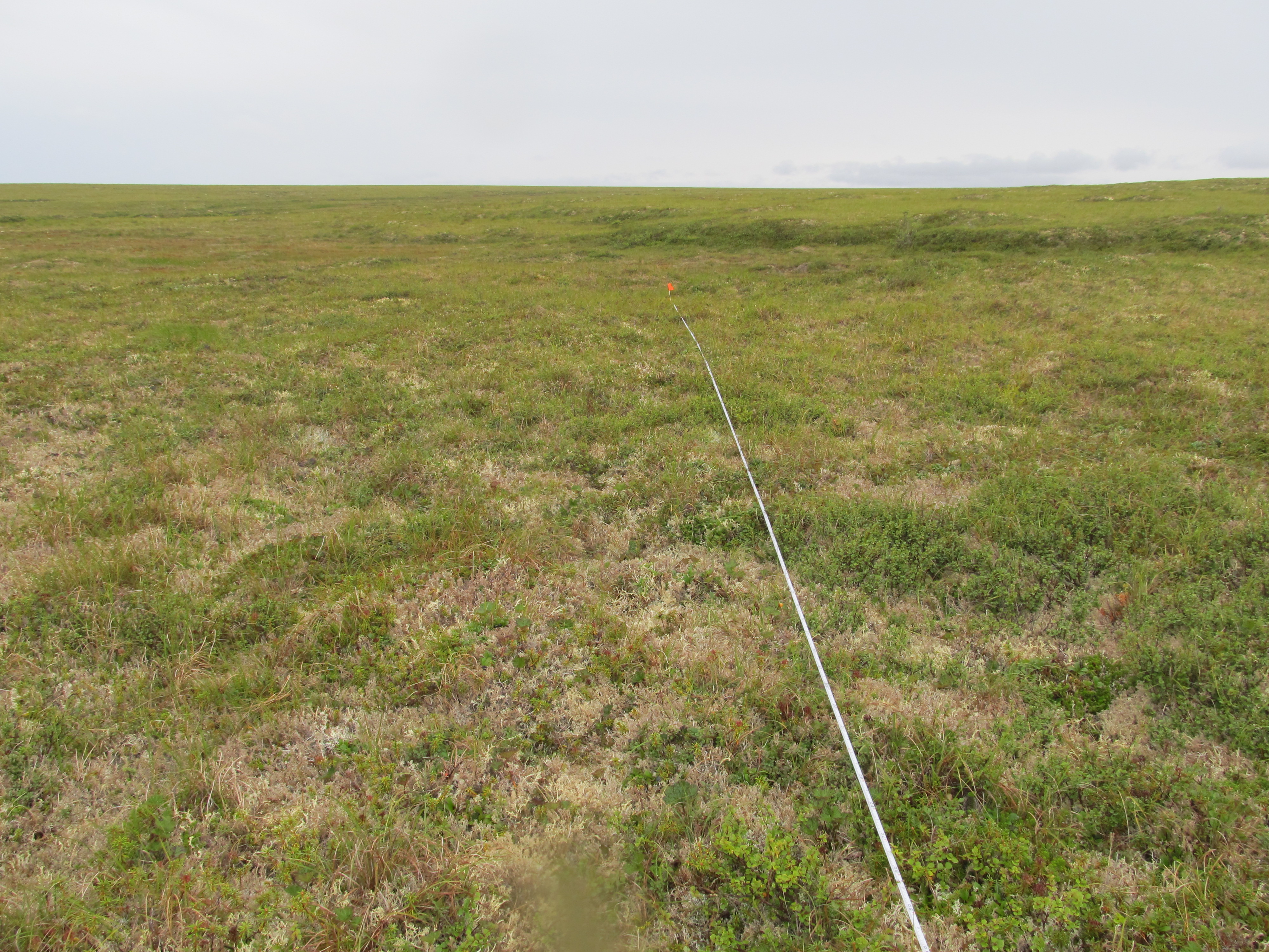
Vegetation point-intercept (VPI) any-hit cover metric data were combined with...
-
The dataset's project home pageHTML
ABoVE project site
-
Landing PageLanding Page
Dates
| Metadata Created Date | February 23, 2025 |
|---|---|
| Metadata Updated Date | February 23, 2025 |
Metadata Source
- Data.json Data.json Metadata
Harvested from nasa test json
Additional Metadata
| Resource Type | Dataset |
|---|---|
| Metadata Created Date | February 23, 2025 |
| Metadata Updated Date | February 23, 2025 |
| Publisher | ORNL_DAAC |
| Maintainer | |
| Identifier | C2143402545-ORNL_CLOUD |
| Data First Published | 2020-05-15 |
| Language | en-US |
| Data Last Modified | 2025-02-19 |
| Category | ABoVE, geospatial |
| Public Access Level | public |
| Bureau Code | 026:00 |
| Metadata Context | https://project-open-data.cio.gov/v1.1/schema/catalog.jsonld |
| Schema Version | https://project-open-data.cio.gov/v1.1/schema |
| Catalog Describedby | https://project-open-data.cio.gov/v1.1/schema/catalog.json |
| Harvest Object Id | bfca36ad-cc98-4840-801f-0df24c205f3c |
| Harvest Source Id | a73e0c30-4684-40ef-908e-d22e9e9e5f86 |
| Harvest Source Title | nasa test json |
| Homepage URL | https://doi.org/10.3334/ORNLDAAC/1772 |
| Metadata Type | geospatial |
| Old Spatial | -164.69 60.36 -160.94 62.09 |
| Program Code | 026:001 |
| Source Datajson Identifier | True |
| Source Hash | 68fa3f2a579bb46d55080ec93355cb12c96c170e16525622109b37e3dd6f1703 |
| Source Schema Version | 1.1 |
| Spatial | |
| Temporal | 2017-07-20T00:00:00Z/2018-07-16T23:59:59Z |
Didn't find what you're looking for? Suggest a dataset here.