

152 datasets found
-
SPURS-1 research vessel CTD profile data for N. Atlantic cruises
NASA Test —
The SPURS (Salinity Processes in the Upper Ocean Regional Study) project is an oceanographic process study and associated field program that aim to elucidate key... -
SPURS-1 research vessel Thermosalinograph series data for N. Atlantic cruises
NASA Test —
The SPURS (Salinity Processes in the Upper Ocean Regional Study) project is an oceanographic process study and associated field program that aim to elucidate key... -
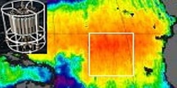
Northwest Australian Shelf Pre-SWOT Level-4 Hourly MITgcm LLC4320 Native Grid 2km Oceanographic Dataset Version 1.0
NASA Test —
This dataset provides a regional multivariate oceanographic state estimate from a global ocean numerical simulation with a focus on the Northwest Australian Shelf... -
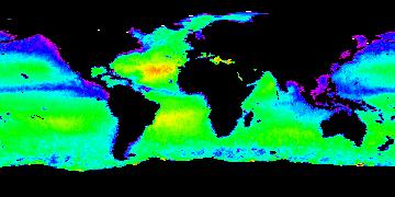
Aquarius Official Release Level 3 Sea Surface Salinity Standard Mapped Image Daily Data V5.0
NASA Test —
Aquarius Level 3 sea surface salinity (SSS) standard mapped image data contains gridded 1 degree spatial resolution SSS averaged over daily, 7 day, monthly, and... -
Aquarius Official Release Level 3 Sea Surface Salinity Standard Mapped Image 7-Day Running Mean Data V5.0
NASA Test —
Aquarius Level 3 sea surface salinity (SSS) standard mapped image data contains gridded 1 degree spatial resolution SSS averaged over daily, 7 day, monthly, and... -
Aquarius Official Release Level 3 Sea Surface Density Standard Mapped Image Descending 7-Day Data V5.0
NASA Test —
Aquarius Level 3 sea surface density standard mapped image data contains gridded 1 degree spatial resolution density data averaged over daily, 7 day, monthly, and... -
Aquarius Official Release Level 3 Sea Surface Salinity Standard Mapped Image Descending Mission Cumulative Data V5.0
NASA Test —
Aquarius Level 3 sea surface salinity (SSS) standard mapped image data contains gridded 1 degree spatial resolution SSS averaged over daily, 7 day, monthly, and... -
Aquarius Official Release Level 3 Sea Surface Spiciness Standard Mapped Image Seasonal Data V5.0
NASA Test —
Aquarius Level 3 sea surface spiciness standard mapped image data contains gridded 1 degree spatial resolution spice data averaged over daily, 7 day, monthly, and... -
RSS SMAP Level 3 Sea Surface Salinity Standard Mapped Image Monthly V5.3 Validated Dataset
NASA Test —
The RSS SMAP Level 3 Sea Surface Salinity Standard Mapped Image Monthly V5.3 Validated Dataset produced by the Remote Sensing Systems (RSS) and sponsored by the NASA... -
Aquarius Official Release Level 3 Rain-flagged Sea Surface Salinity Standard Mapped Image Seasonal Climatology Data V5.0
NASA Test —
Aquarius Level 3 sea surface salinity (SSS) rain-flagged standard mapped image data contains gridded 1 degree spatial resolution SSS averaged over daily, 7 day,... -
ECCO Sea-Ice Salt Plume Fluxes - Daily Mean llc90 Grid (Version 4 Release 4)
NASA Test —
This dataset provides daily-averaged sea-ice salt plume fluxes on the native Lat-Lon-Cap 90 (LLC90) model grid from the ECCO Version 4 Release 4 (V4r4) ocean and sea-... -
Aquarius Official Release Level 3 Sea Surface Density Standard Mapped Image Ascending Monthly Data V5.0
NASA Test —
Aquarius Level 3 sea surface density standard mapped image data contains gridded 1 degree spatial resolution density data averaged over daily, 7 day, monthly, and... -
Aquarius Official Release Level 3 Sea Surface Spiciness Standard Mapped Image 7-Day Running Mean Data V5.0
NASA Test —
Aquarius Level 3 sea surface spiciness standard mapped image data contains gridded 1 degree spatial resolution spice data averaged over daily, 7 day, monthly, and... -
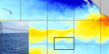
SPURS-2 Surface Salinity Snake data for the E. Tropical Pacific field campaign R/V Revelle cruises
NASA Test —
The SPURS (Salinity Processes in the Upper Ocean Regional Study) project is a NASA-funded oceanographic process study and associated field program that aim to... -
Aquarius Official Release Level 3 Rain-flagged Sea Surface Salinity Standard Mapped Image Descending 7-Day Data V5.0
NASA Test —
Aquarius Level 3 sea surface salinity (SSS) rain-flagged standard mapped image data contains gridded 1 degree spatial resolution SSS averaged over daily, 7 day,... -
Aquarius Official Release Level 3 Rain-flagged Sea Surface Salinity Standard Mapped Image Descending Seasonal Climatology Data V5.0
NASA Test —
Aquarius Level 3 sea surface salinity (SSS) rain-flagged standard mapped image data contains gridded 1 degree spatial resolution SSS averaged over daily, 7 day,... -
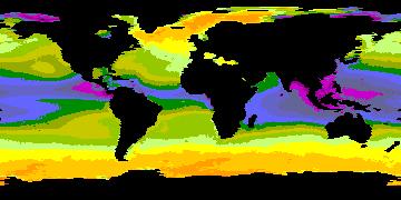
Multi-Mission Optimally Interpolated Sea Surface Salinity Global Dataset V2
NASA Test —
This is a level 4 product on a 0.25-degree spatial and 4-day temporal grid. The product is derived from the level 2 swath data of three satellite missions: the... -
Aquarius Official Release Level 3 Sea Surface Spiciness Standard Mapped Image Daily Data V5.0
NASA Test —
Aquarius Level 3 sea surface spiciness standard mapped image data contains gridded 1 degree spatial resolution spice data averaged over daily, 7 day, monthly, and... -
SPURS-2 Research vessel Meteorological series data for the E. Tropical Pacific field campaign R/V Revelle cruises
NASA Test —
The SPURS (Salinity Processes in the Upper Ocean Regional Study) project is a NASA-funded oceanographic process study and associated field program that aim to... -
Aquarius Official Release Level 3 Sea Surface Salinity Standard Mapped Image Monthly Climatology Data V5.0
NASA Test —
Aquarius Level 3 sea surface salinity (SSS) standard mapped image data contains gridded 1 degree spatial resolution SSS averaged over daily, 7 day, monthly, and...
152 datasets found